Parking
Use the designated parking area at The Cabins on the east side of the park, near the East Entrance. The walk starts from the Cabins site; do not park along the road.
Valley of Fire State Park, NV
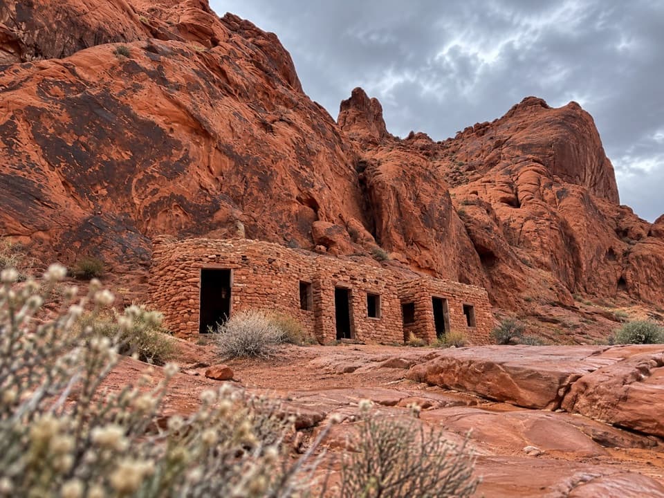
Walk to 1930s CCC cabins, then pause at the shaded picnic area.
Overview
Map & elevation
Plan your hike

The highest, rockiest slopes around here are a summer buffet for grizzly bears.
Valley of Fire Tour Guide
Parkwolf is a GPS audio tour guide for Valley of Fire State Park. As you drive, it chimes in with what’s ahead: hidden gems, upcoming stops, history, geology, and wildlife, right through your car’s speakers.
Recorded for this trailhead
Historic Cabins: Sandstone Shelters“You're approaching the access road for the Historic Cabins, a short history stop off the main highway.”
Plays as you drive up to this trailhead in the Parkwolf Valley of Fire Tour Guide.
More stories near here in the app
“Fantastic app with many points of information… It’s great to just turn on while you’re driving and it gives you an audio tour of the national Park. We love it!!!!”


Trail guide
The Cabin Trail is an easy out-and-back of about 0.56 miles total: walk the mapped corridor about 0.28 miles from the designated Cabins parking area to its east-side road end, then return the same way. Allow around 15 minutes of walking, plus time at the cabins and picnic area. This is more of a short historic-site access walk than a developed hike. The park marks the Cabins and parking on its official map but does not draw this separate route, and the exact tread is not described there.
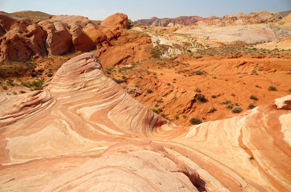
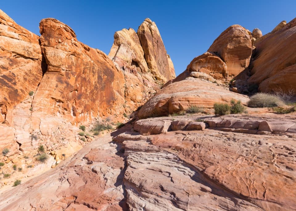
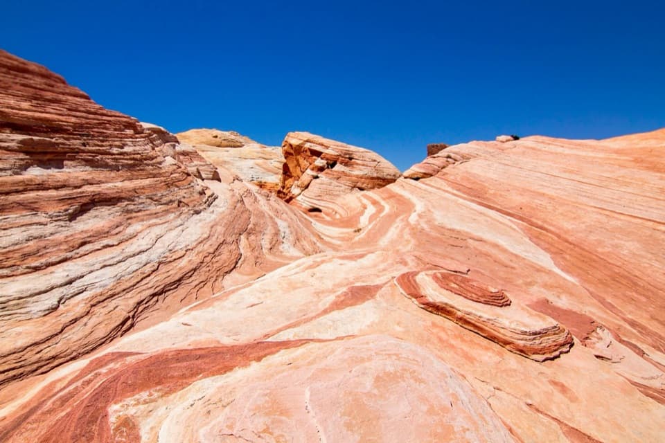
The stone cabins were built by the Civilian Conservation Corps in the 1930s. They are the main reason to make the stop; the walk itself is short and has no larger destination beyond the cabin site and its surrounding red-rock setting. Petroglyphs have been reported in nearby rock, but their exact location along this route is uncertain. Don't touch or climb on rock art.
Use the designated parking at the Cabins, where the park provides shaded picnic space and restrooms. Day-use access is sunrise to sunset, and no reservation is required for day use. Pets are allowed on a leash no longer than six feet. The park warns that heat can be dangerous even on a short walk and advises against hiking above 85°F; no potable-water point at the Cabins was confirmed in the material checked.
Wildlife
 638 sightingsBighorn SheepMost seen around 6 PMSighting map
 11 sightingsMojave Desert TortoiseMost seen around 8 AMSighting map
 23 sightingsSidewinderMost seen around 7 PMSighting map
 18 sightingsBlack-tailed JackrabbitMost seen around 6 AMSighting map
 11 sightingsRingtailMost seen around 8 PMSighting map
 19 sightingsRed-tailed HawkMost seen around 10 AMSighting map
Sighting maps show where each species has been reported across Valley of Fire. Wildlife moves, so no sighting is guaranteed.
Keep exploring
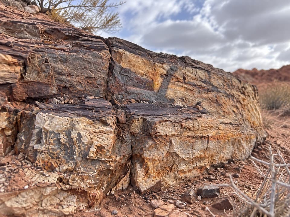 EasyEastern Petrified Log Trail0.1 mi · 15 min · 0.4 mi awayA quick, easy walk to a protected petrified log
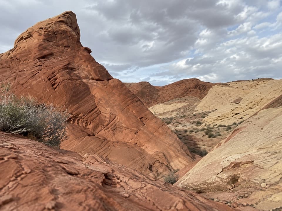 ModerateNatural Arch Trail2.5 mi · 2 hr · 0.7 mi awaySmall window arches high above a sandy canyon wash.
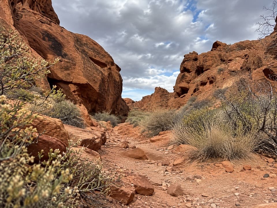 ModerateCharlie's Spring Trail5 mi · 3.5 hr · 0.7 mi awayA sandy wash ends at a small, palm-dotted spring in red rock.
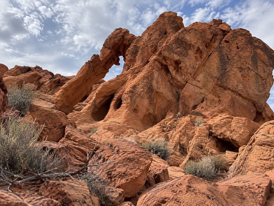 EasyArrowhead Arch Trail0.2 mi · 15 min · 1.1 mi awayA brief rock scramble to a double-opening sandstone arch.
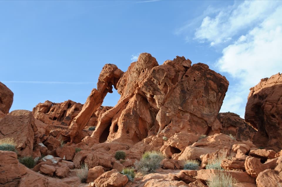 EasyElephant Rock Direct Route0.2 mi · 20 min · 1.3 mi awayA quick desert walk to a sandstone arch shaped like an elephant.
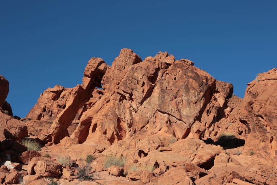 EasyElephant Rock Loop Trail1.2 mi · 45 min · 1.3 mi awayA sandy loop passes Elephant Rock and the red hills beyond.
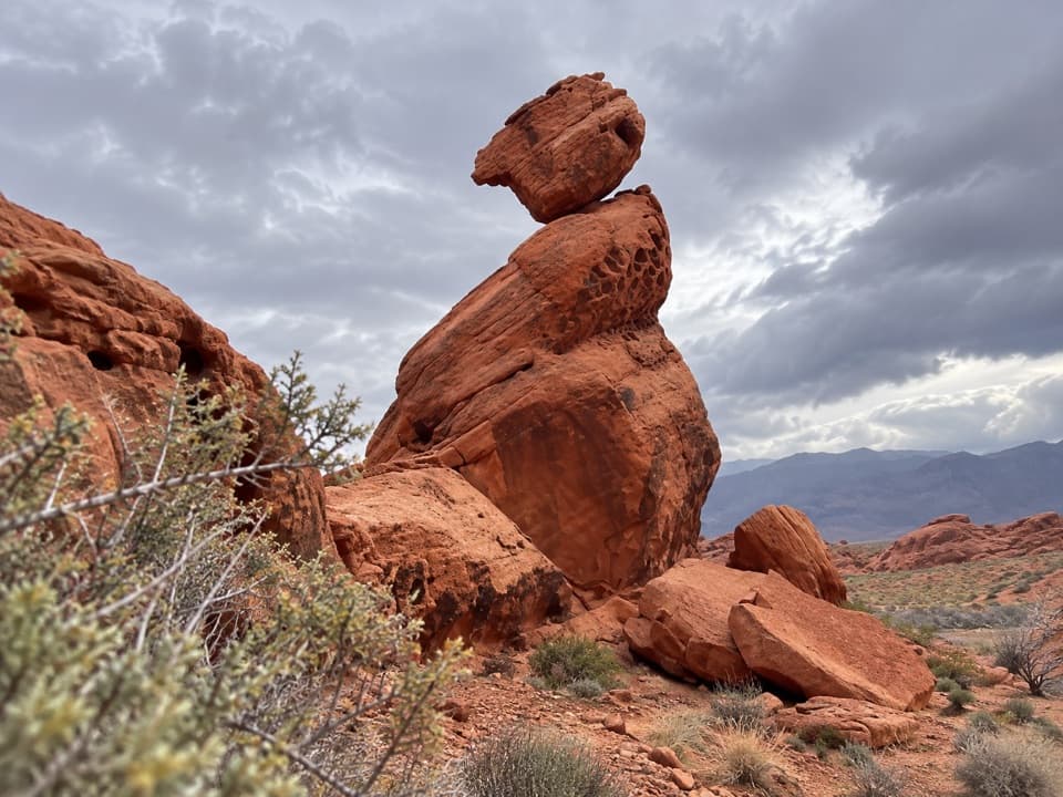 EasyBalancing Rock Trail0.3 mi · 15 min · 1.8 mi awayA short walk to a sandstone stack with an eyelet.
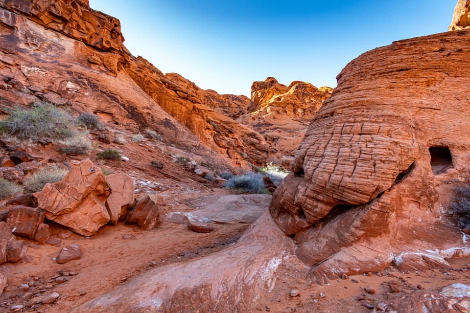 EasyMouse’s Tank Trail0.7 mi · 36 min · 2.1 mi awayLook up as you walk: petroglyphs mark a sandy red-rock canyon.
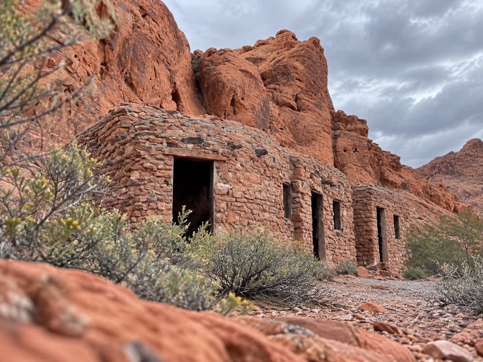 Sight · At the trailheadHistoric CabinsCCC sandstone cabins make a shaded picnic stop.
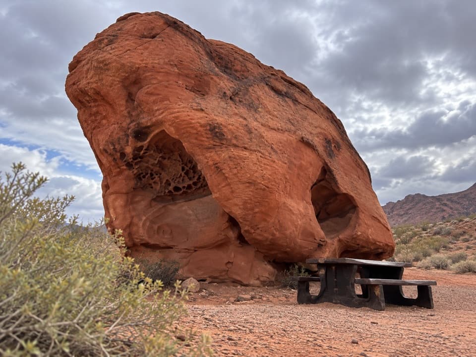 Picnic area · 0.2 mi awayLone Rock Picnic AreaA big solitary boulder, with petroglyphs tucked across the lot.
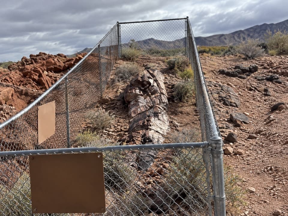 Sight · 0.4 mi awayEast Petrified LogA quick stop for wood turned to stone 225 million years ago.
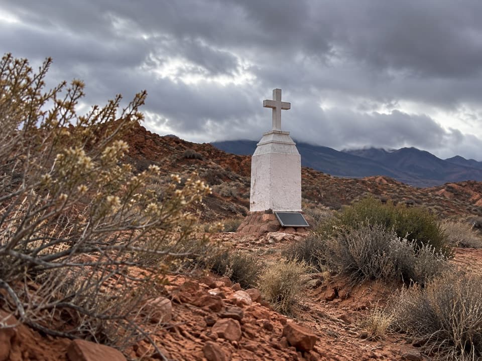 Sight · 0.8 mi awayClark MemorialA roadside cross marks a sobering story from 1915.
 Picnic area · 1.2 mi awaySeven SistersA shaded roadside picnic area beneath seven red sandstone towers.
 Sight · 1.2 mi awayElephant RockA quick walk to an elephant-shaped sandstone arch.
 Entrance station · 1.3 mi awayEast EntranceThe east-side gate, with Elephant Rock just beyond
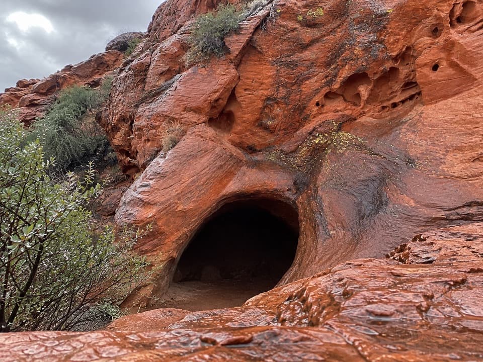 Sight · 1.8 mi awayMouse's TankA short canyon walk where petroglyphs lead to a rain-fed basin.
Parkwolf’s Valley of Fire ranking

The audio tour guide for the drive, plus offline maps, trails, and wildlife heatmaps for when the signal drops.