Parking
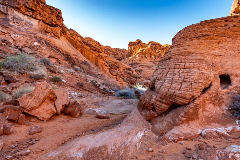
Use the designated Natural Arch Trailhead pullout across Valley of Fire Highway from Clark Memorial. Follow the short dirt approach to the wash; do not park on the roadside. Pullout capacity was not found.
Valley of Fire State Park, NV
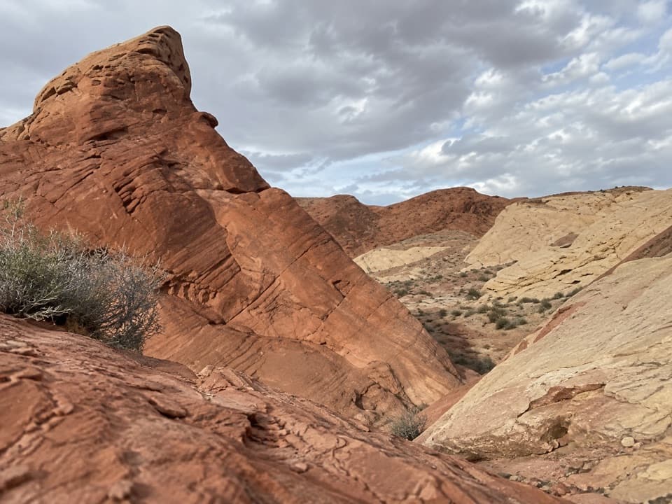
Small window arches high above a sandy canyon wash.
Overview
Natural Arch Trail is an out-and-back up the sandy wash of Fire Canyon. The park lists 2.5 miles; this entry treats that as the total there-and-back distance. Allow about two hours. Deep sand and two early rock spillovers make it slower than the mileage suggests. Go for the small window arches and changing canyon walls, not a big arch at a fixed end: the original namesake arch has collapsed.
 Parkwolf’s verdictIs this the hike for you?
Map & elevation
Plan your hike

The highest, rockiest slopes around here are a summer buffet for grizzly bears.
Valley of Fire Tour Guide
Parkwolf is a GPS audio tour guide for Valley of Fire State Park. As you drive, it chimes in with what’s ahead: hidden gems, upcoming stops, history, geology, and wildlife, right through your car’s speakers.
Recorded for this trailhead
Natural Arch Trail: Look for the Small Windows“You're nearing the Natural Arch trailhead, where a sandy canyon walk leads past small windows high in the rock walls. The original namesake arch has collapsed, so choose this for the canyon rather than one big arch.”
Plays as you drive up to this trailhead in the Parkwolf Valley of Fire Tour Guide.
More stories near here in the app
“Fantastic app with many points of information… It’s great to just turn on while you’re driving and it gives you an audio tour of the national Park. We love it!!!!”


Trail guide
Use the Natural Arch Trailhead pullout across Valley of Fire Highway from Clark Memorial. Follow the short dirt approach to the wash and head north. The wash itself is the route. Near the first mile, a rock spillover interrupts the sand; you can scramble over it, then another obstacle appears a few hundred yards farther. The footing stays uneven and sandy, so expect to watch each step.
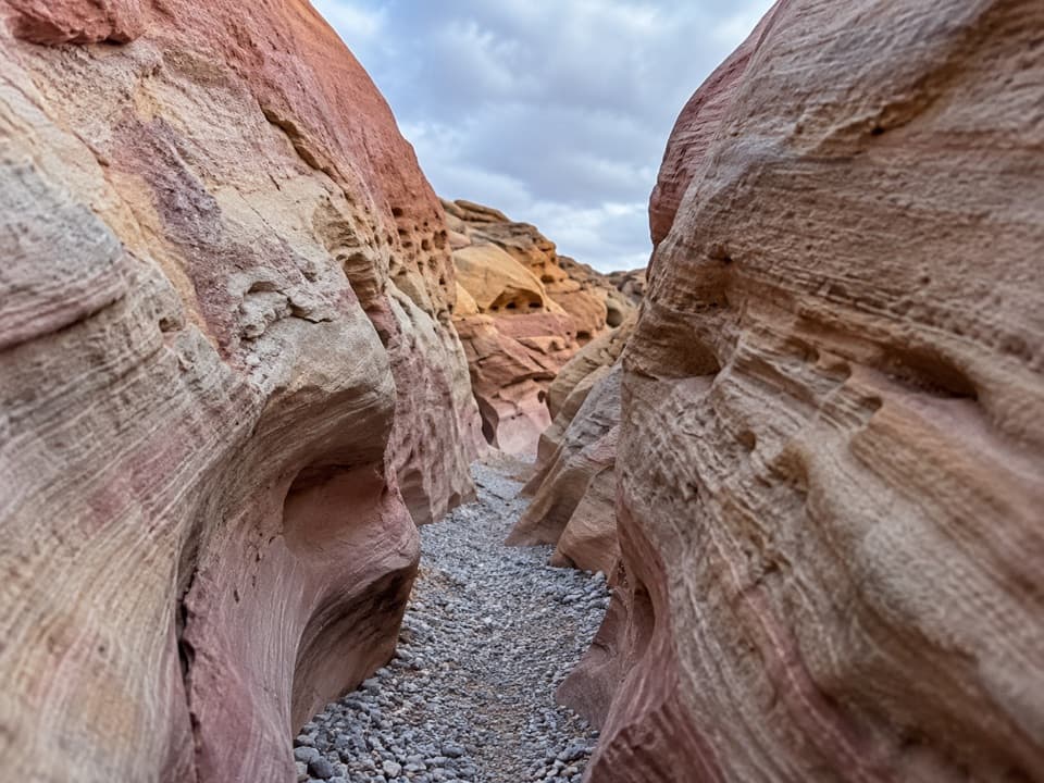
Small erosional windows sit high above the wash, becoming more frequent beyond the second obstacle. Some are freestanding; others are narrow holes in the canyon wall. They keep enlarging through erosion and can eventually collapse. Look up as you walk, and frame a window with some surrounding wall so its height is clear. Bighorn sheep have been reported near the pullout and farther up the wash, but sightings aren't guaranteed.
The wash has no definite end. The park map lists a 2.5-mile outing but doesn't name a turnaround; longer walk accounts continue farther up the canyon and return after 4.2 or 5 miles. This route shows the shorter mapped corridor. If you keep going past it, choose your own turnaround and don't expect a signed endpoint or one surviving destination arch.
Wildlife
 638 sightingsBighorn SheepMost seen around 6 PMSighting map
 11 sightingsMojave Desert TortoiseMost seen around 8 AMSighting map
 23 sightingsSidewinderMost seen around 7 PMSighting map
 18 sightingsBlack-tailed JackrabbitMost seen around 6 AMSighting map
 11 sightingsRingtailMost seen around 8 PMSighting map
 19 sightingsRed-tailed HawkMost seen around 10 AMSighting map
Sighting maps show where each species has been reported across Valley of Fire. Wildlife moves, so no sighting is guaranteed.
Keep exploring
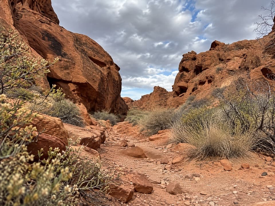 ModerateCharlie's Spring Trail5 mi · 3.5 hr · At the trailheadA sandy wash ends at a small, palm-dotted spring in red rock.
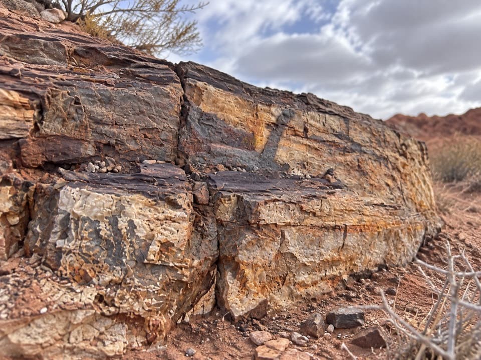 EasyEastern Petrified Log Trail0.1 mi · 15 min · 0.3 mi awayA quick, easy walk to a protected petrified log
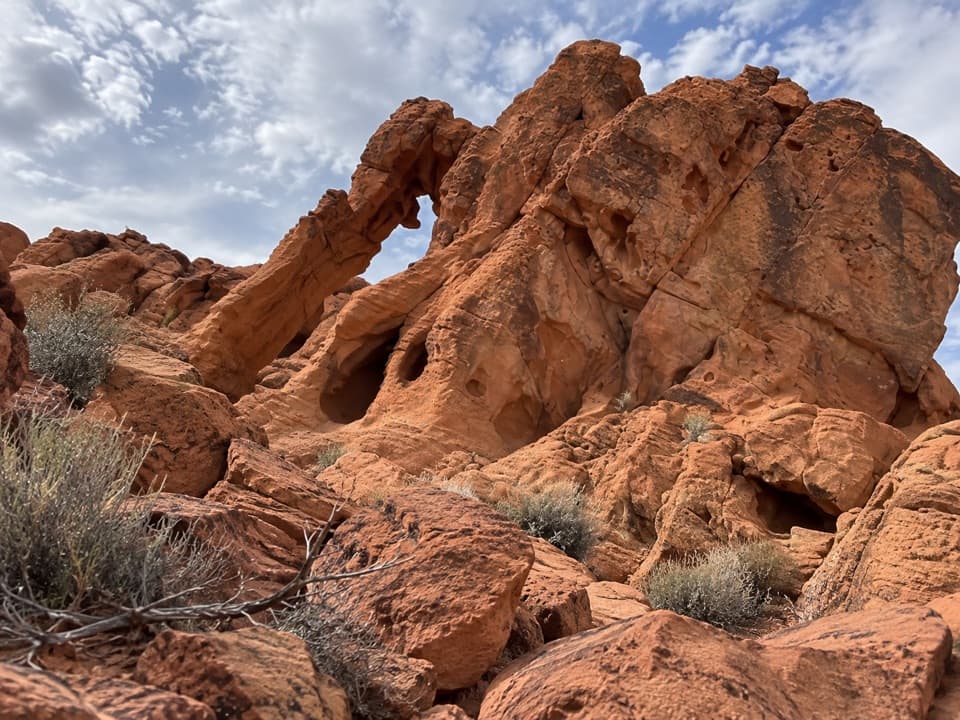 EasyArrowhead Arch Trail0.2 mi · 15 min · 0.4 mi awayA brief rock scramble to a double-opening sandstone arch.
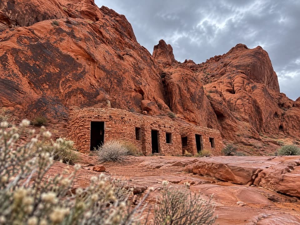 EasyThe Cabin Trail0.6 mi · 30 min · 0.7 mi awayWalk to 1930s CCC cabins, then pause at the shaded picnic area.
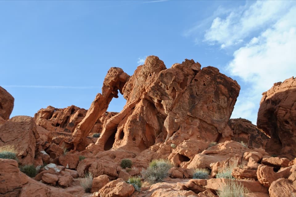 EasyElephant Rock Direct Route0.2 mi · 20 min · 0.7 mi awayA quick desert walk to a sandstone arch shaped like an elephant.
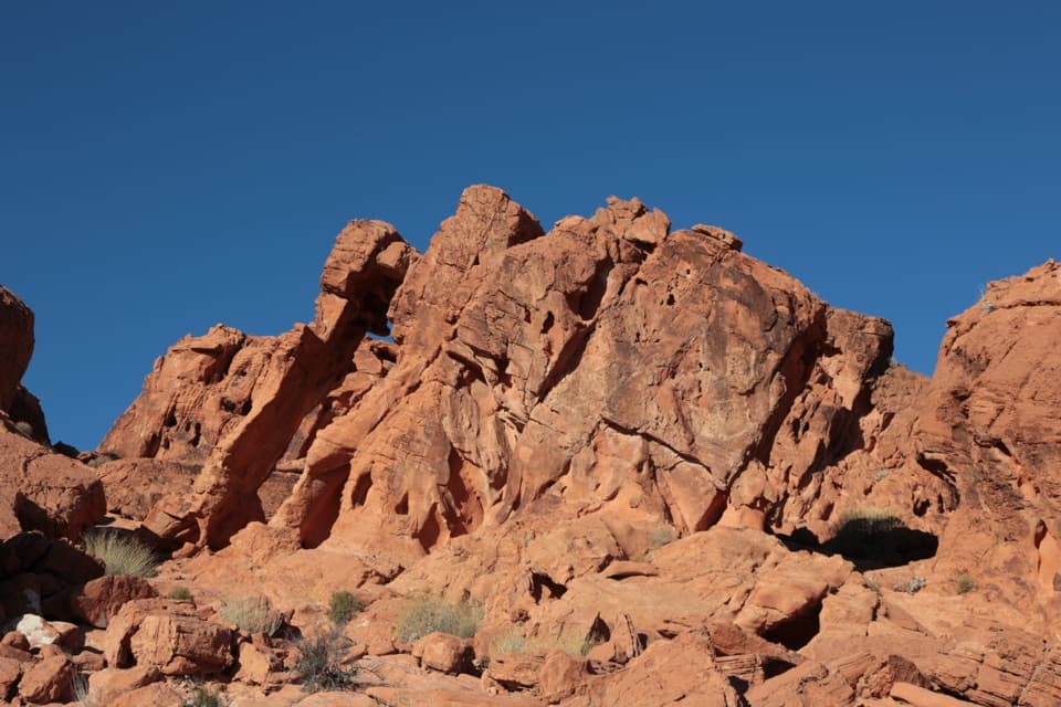 EasyElephant Rock Loop Trail1.2 mi · 45 min · 0.7 mi awayA sandy loop passes Elephant Rock and the red hills beyond.
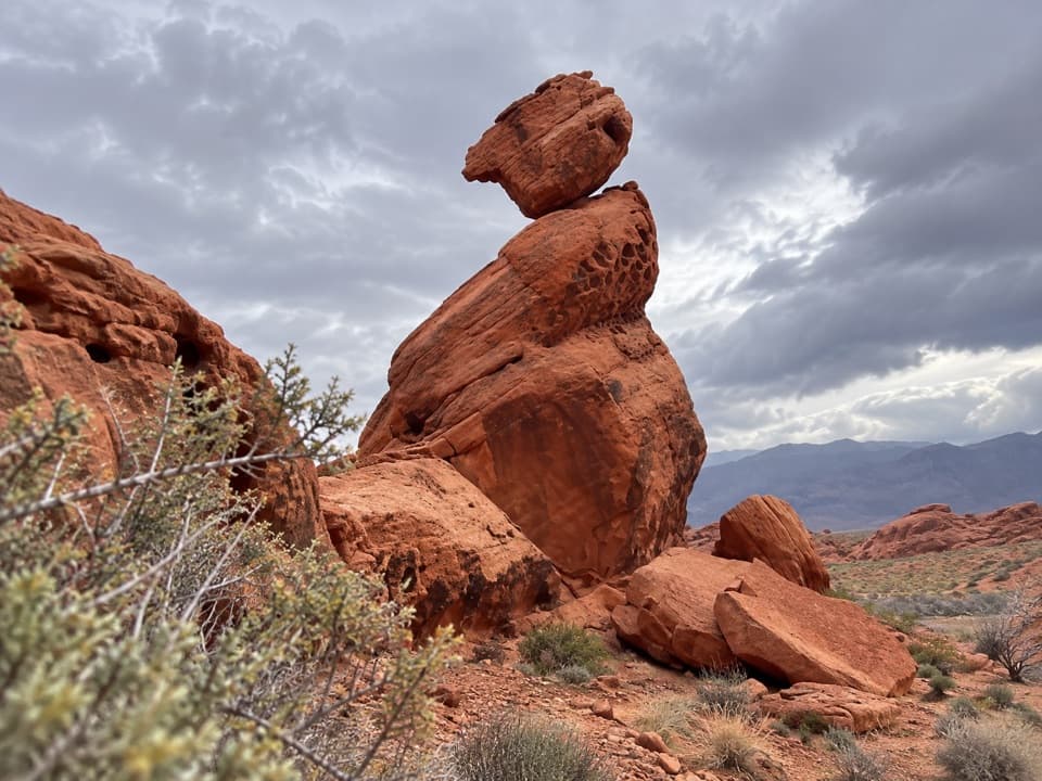 EasyBalancing Rock Trail0.3 mi · 15 min · 2.5 mi awayA short walk to a sandstone stack with an eyelet.
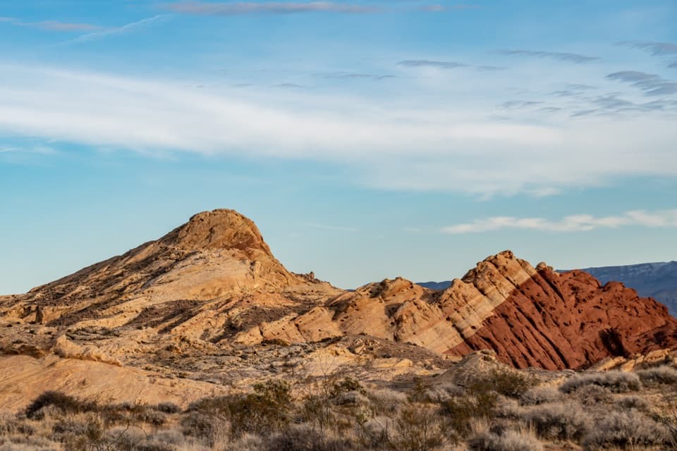 ModerateSilica Dome Trail1.2 mi · 1 hr · 2.7 mi awayA short scramble climbs to a wide view over Fire Canyon.
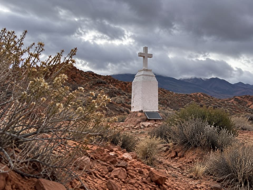 Sight · 0.1 mi awayClark MemorialA roadside cross marks a sobering story from 1915.
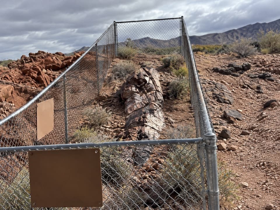 Sight · 0.3 mi awayEast Petrified LogA quick stop for wood turned to stone 225 million years ago.
 Sight · 0.6 mi awayElephant RockA quick walk to an elephant-shaped sandstone arch.
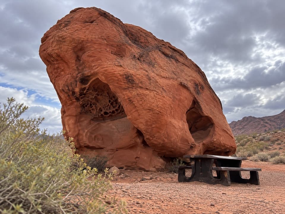 Picnic area · 0.7 mi awayLone Rock Picnic AreaA big solitary boulder, with petroglyphs tucked across the lot.
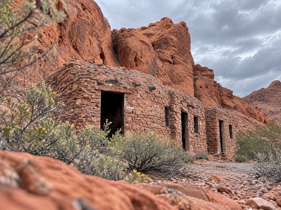 Sight · 0.7 mi awayHistoric CabinsCCC sandstone cabins make a shaded picnic stop.
 Entrance station · 0.7 mi awayEast EntranceThe east-side gate, with Elephant Rock just beyond
 Picnic area · 1.8 mi awaySeven SistersA shaded roadside picnic area beneath seven red sandstone towers.
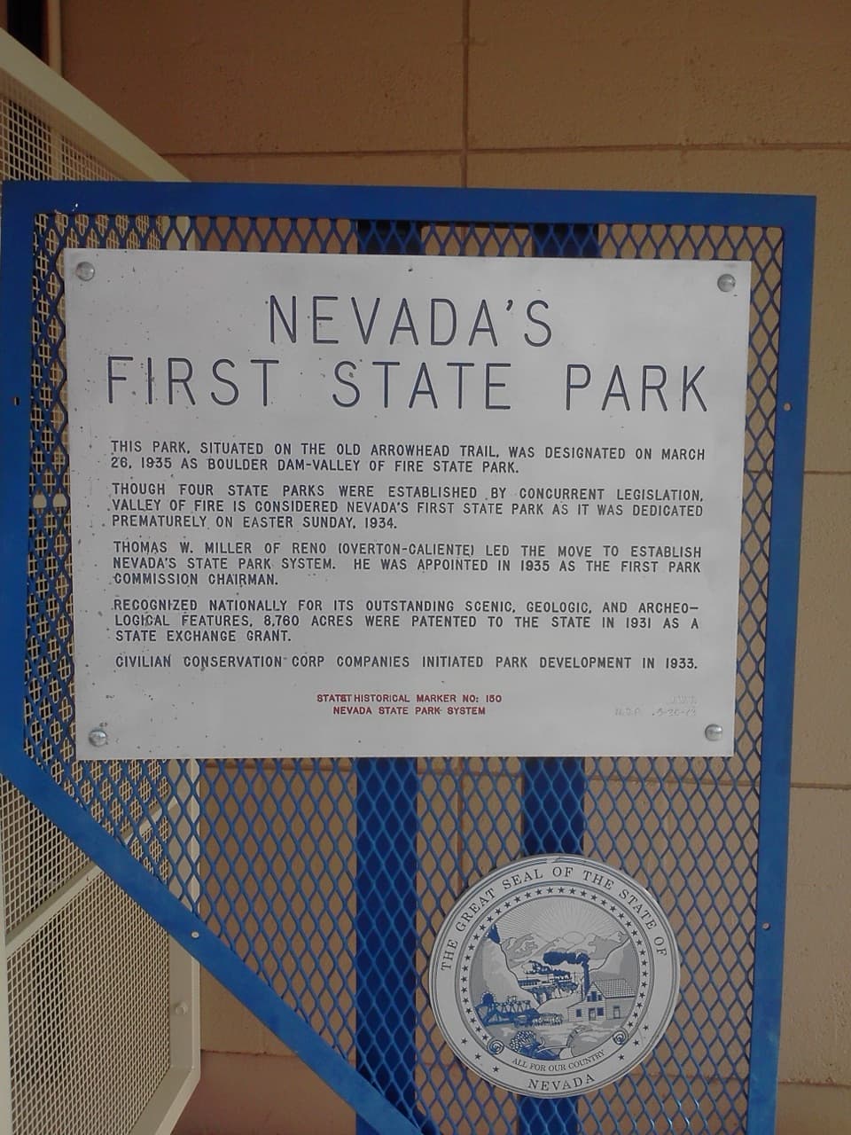 Historic marker · 2.4 mi awayNevada’s First State Park Historical MarkerA quick marker stop for the park’s early history and Arrowhead Trail.
Parkwolf’s Valley of Fire ranking
The audio tour guide for the drive, plus offline maps, trails, and wildlife heatmaps for when the signal drops.