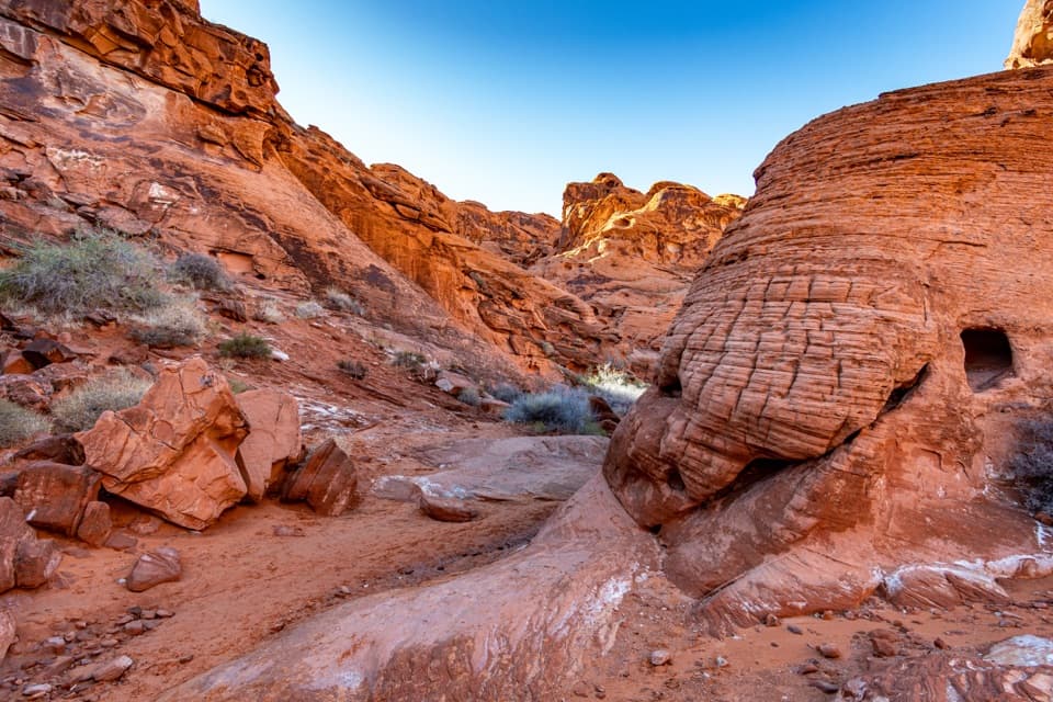
Parking
Follow White Domes Road to the designated lot at its end. The lot is small; park only in designated spaces, not along the road. Restrooms and a shaded day-use area are at White Domes.
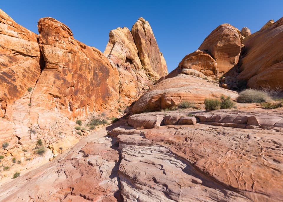
#2 of 23 trails in Valley of Fire
Valley of Fire State Park, NV
A short loop with a sandstone slot and movie-set remains.
Overview
Map & elevation
Plan your hike

The highest, rockiest slopes around here are a summer buffet for grizzly bears.
Valley of Fire Tour Guide
Parkwolf is a GPS audio tour guide for Valley of Fire State Park. As you drive, it chimes in with what’s ahead: hidden gems, upcoming stops, history, geology, and wildlife, right through your car’s speakers.
See the Valley of Fire audio tourRecorded for this trailhead
White Domes: A Slot Canyon and a Film Set“White Domes is ahead, with pale sandstone and a shaded picnic area at the road end.”
Plays as you drive up to this trailhead in the Parkwolf Valley of Fire Tour Guide.
More stories near here in the app
“Fantastic app with many points of information… It’s great to just turn on while you’re driving and it gives you an audio tour of the national Park. We love it!!!!”


Trail guide
White Domes Loop is a 1.1-mile circuit from the lot at the end of White Domes Road, over sand and rough rock through a compact basin of sandstone fins and domes. Its payoff is the variety: a steep stepped descent, weathered movie-set stones, the narrow slot in Kaolin Wash, then a climb past arches and a honeycomb-shaped notch. It’s a strong choice for a short hike that feels more varied than its mileage suggests. Allow 30–45 minutes, with extra time if you want to explore the set and stop in the slot. This is the standalone loop back to the same lot; continuing onto Prospect Trail turns it into a much longer walk.
Use the designated lot at the end of White Domes Road. It’s small, and the park map says to park only in designated areas, so don’t count on roadside spaces. Restrooms and a shaded day-use area are available at White Domes. The park closes this loop each year May 15 through September 30 because of heat; check the park’s current notice before planning a visit outside that window.
The path starts up a sandy slope between two sandstone fins. At the gap above them, the view opens south across rounded pink, gold, and cream-colored rock. Then the trail drops sharply over broken stone; built steps cover much of this descent, but the footing is still uneven. The steep, rocky opening is the part most likely to feel awkward if your balance or knees are a concern. After a tight passage, the tread softens to sand and levels into a broader basin.
The loop crosses low stone remnants from the 1965 Western The Professionals. They’re worth a look, but they’re a small stop along a hike, not a preserved town or a separate attraction. From here the trail descends to usually dry Kaolin Wash, turns through its short slot, and follows close, curving sandstone walls. The passage is narrow enough to feel enclosed, and the bends reveal the rock’s orange, pink, and purple layers. It’s one of the walk’s defining moments; take a minute to look back through the slot as the light catches the walls.
After the slot, the route climbs to a shelf below White Domes and follows a sandy path beside a shallow wash. At a fork around the halfway point, the loop turns left and north; don’t follow the longer Prospect Trail continuation. The path rises between sandstone clusters to a saddle, where a smaller arch sits to the right and a higher arch to the left. Look north from here for the vermilion outcrops and the distant Mormon Mountains.
On the return, the path crosses another wash and slips through a narrow notch where the sandstone is pocked with tafoni, the honeycomb-like holes formed by weathering. The first gap is the better place for a broad landscape photo; the arches make a more useful frame at the saddle, and the notch is where to look closely at the rock’s texture. From there, the path bends south beside the road and returns to the parking area. The loop’s changes in color and shape come from visible layers and cross-bedding in Aztec Sandstone; there’s plenty to notice without extending the route into Prospect.
Wildlife
 647 sightingsBighorn SheepMost seen around 6 PMSighting map
 11 sightingsMojave Desert TortoiseMost seen around 8 AMSighting map
 23 sightingsSidewinderMost seen around 7 PMSighting map
 18 sightingsBlack-tailed JackrabbitMost seen around 6 AMSighting map
 11 sightingsRingtailMost seen around 8 PMSighting map
 19 sightingsRed-tailed HawkMost seen around 10 AMSighting map
Sighting maps show where each species has been reported across Valley of Fire. Wildlife moves, so no sighting is guaranteed.
Keep exploring
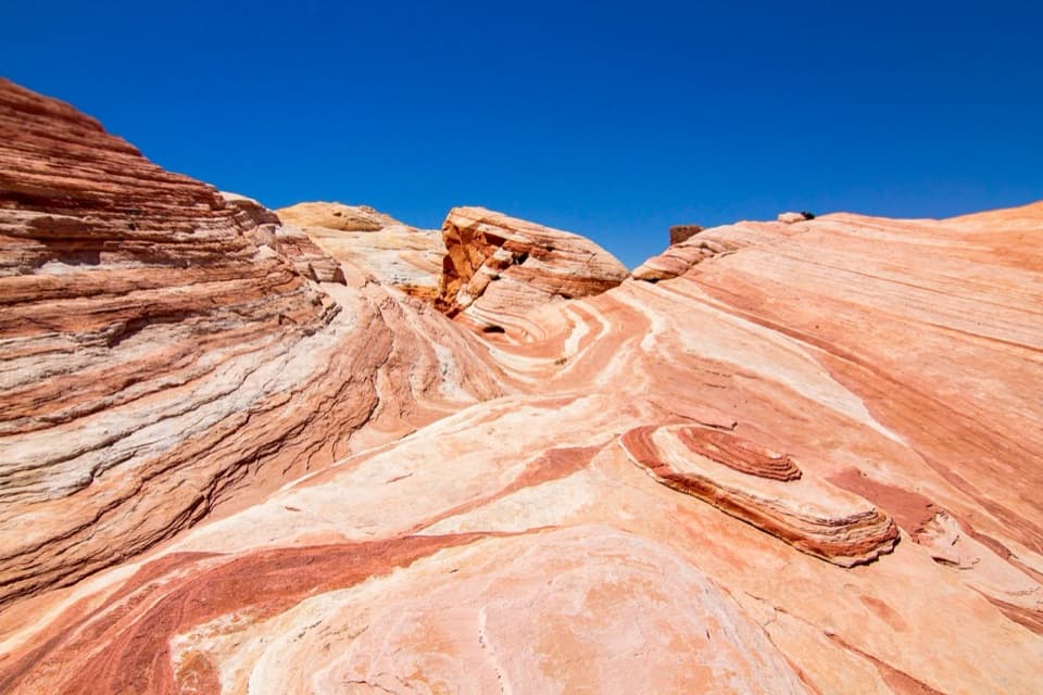 ModerateFire Wave, White Domes and Seven Wonders Loop3.8 mi · 2.5 hr · At the trailheadA slot canyon, Fire Wave and painted sandstone in one loop.
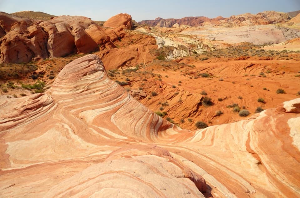 EasyFire Wave Trail1.4 mi · 1.3 hr · 0.3 mi awayA sandy out-and-back to a wave of pink and cream sandstone.
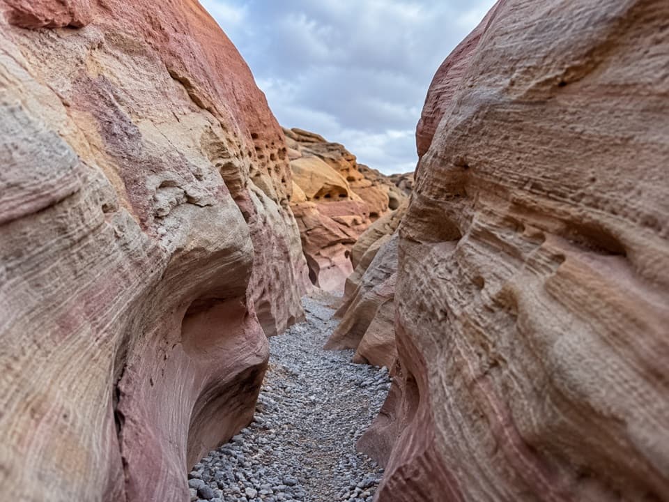 ModeratePink/Pastel Canyon Trail1.6 mi · 1.5 hr · 0.3 mi awayFollow pink-banded sandstone into a narrow desert wash.
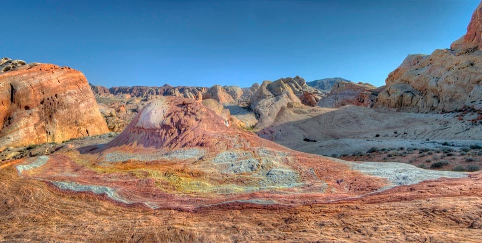 EasyCrazy Hill0.5 mi · 30 min · 0.3 mi awayA short detour to a small hill painted in pastel bands.ModerateFire Wave/7 Wonders Loop Trail1.8 mi · 2 hr · 0.3 mi awayA short loop through striped rock and pastel washes, with tricky turns.
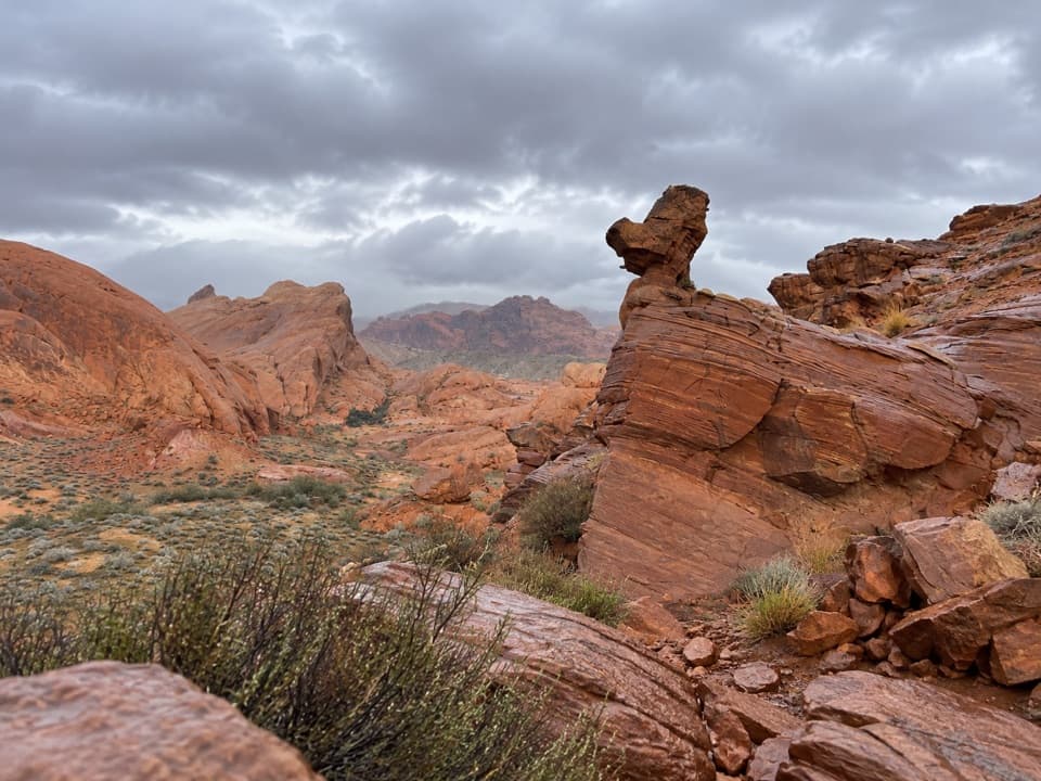 ModerateDuck Rock Viewpoint1.4 mi · 45 min · 0.5 mi awayA short, rugged detour to a duck-shaped sandstone profile.
 EasyRainbow Vista Trail1 mi · 45 min · 2.6 mi awayA sandy canyon walk to a rugged overlook above Fire Canyon
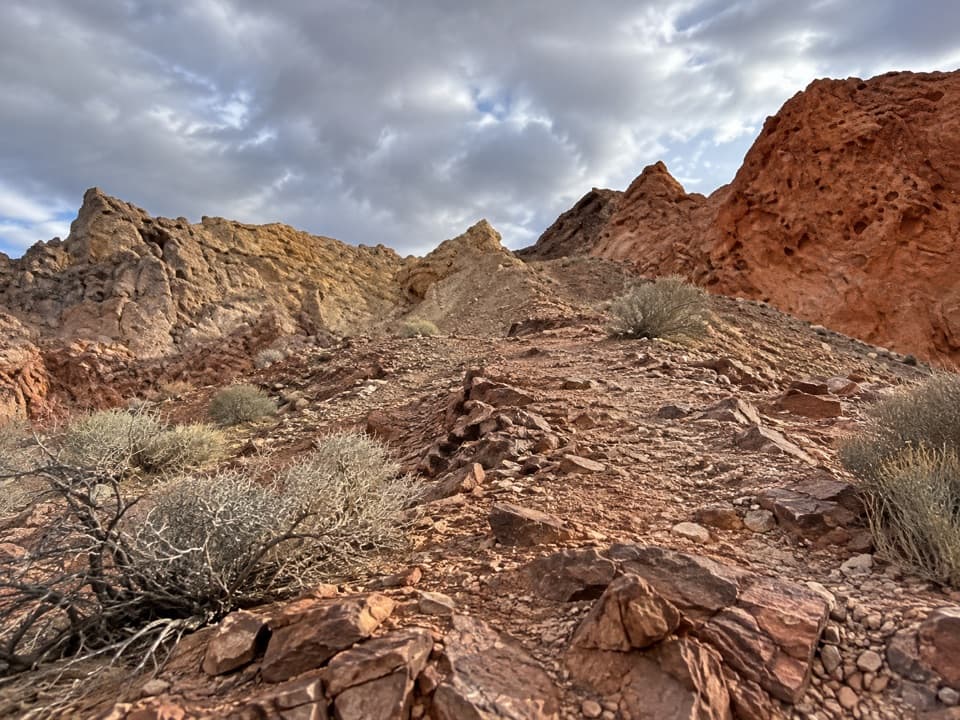 ModerateFire Canyon Loop Trail5.7 mi · 3.5 hr · 2.7 mi awayA longer Silica Dome circuit where a downloaded track earns its keep.Sight · 0.1 mi awayWhite DomesShort loop, pale domes, a slot canyon and a film-set wall.
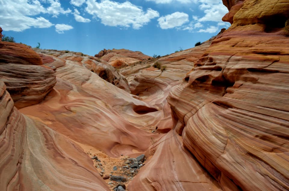 Sight · 0.6 mi awayPastel CanyonA short, shallow canyon of pastel bands on the Seven Wonders route.
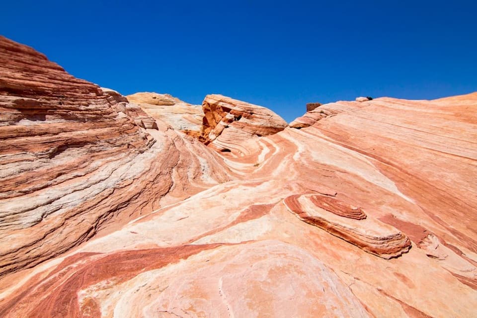 Sight · 0.6 mi awayFire WaveCurving stripes ripple across the sandstone like a low desert wave.
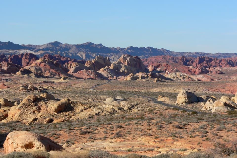 Sight · 2.6 mi awayRainbow VistaA ridge-top panorama over miles of multicolored sandstone.
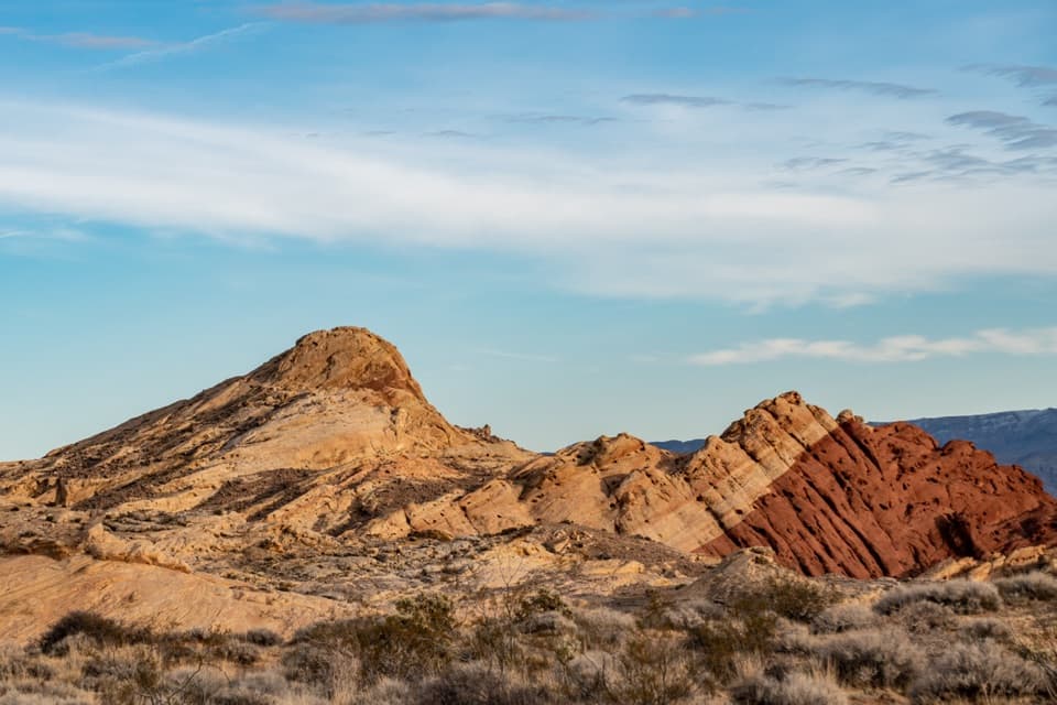 Sight · 2.7 mi awayFire Canyon / Silica Dome OverlookA roadside stop for the pale dome and fiery canyon bands.
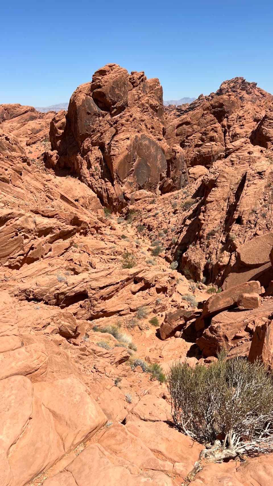 Sight · 3 mi awayFire Canyon OverlookA short, sandy hike ends above a rugged red-rock canyon.
 Picnic area · 3.2 mi awayMouse’s Tank Picnic AreaA shaded lunch stop with petroglyphs just behind it.
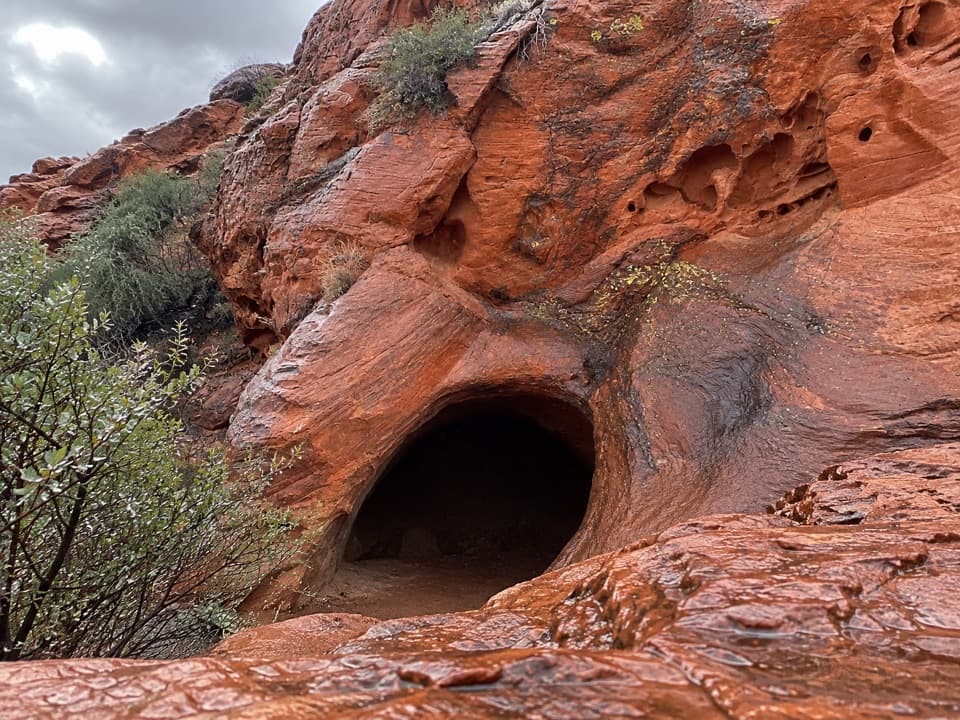 Sight · 3.5 mi awayMouse's TankA short canyon walk where petroglyphs lead to a rain-fed basin.
Parkwolf’s Valley of Fire ranking

The audio tour guide for the drive, plus offline maps, trails, and wildlife heatmaps for when the signal drops.