Parking
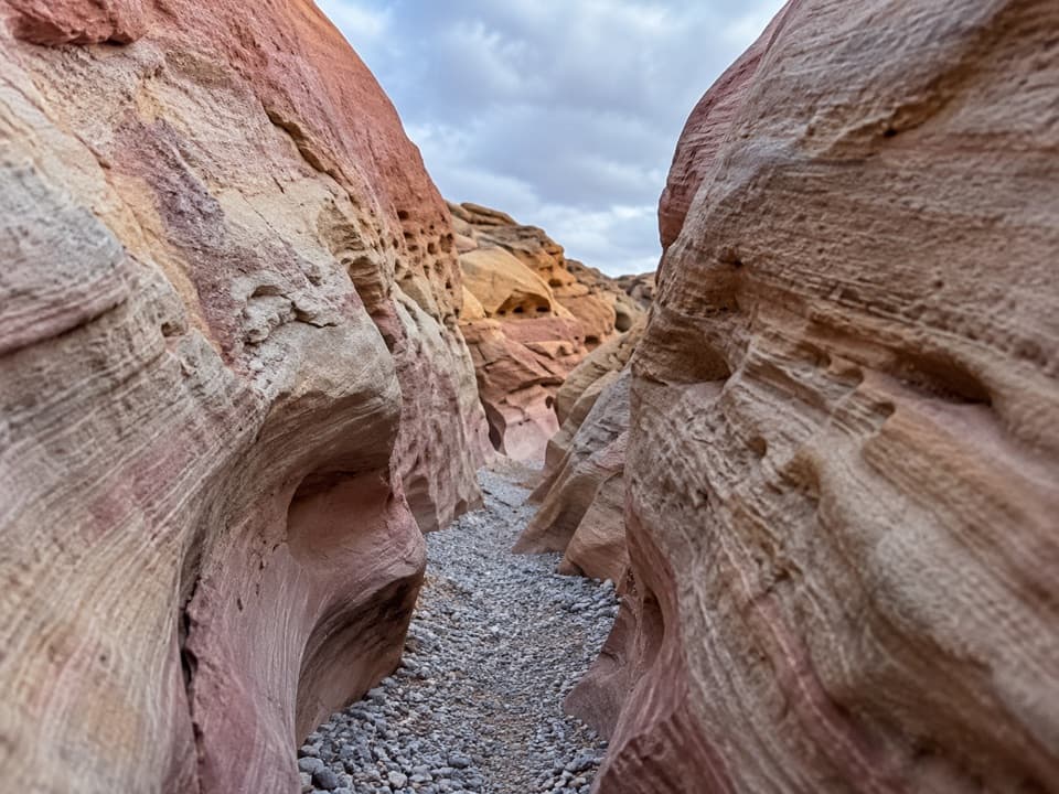
Use the signed Petroglyph Canyon / Mouse’s Tank parking area on White Domes Road. Park in the designated area rather than on the road shoulder; a shaded picnic area and restrooms are nearby across the road.
#5 of 23 trails in Valley of Fire
Valley of Fire State Park, NV
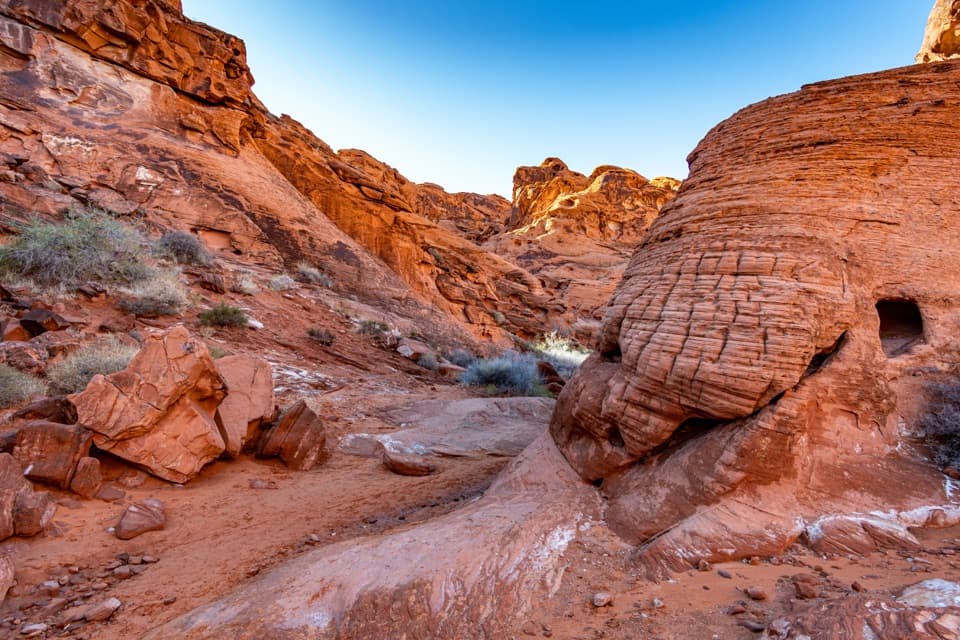
Look up as you walk: petroglyphs mark a sandy red-rock canyon.
Overview
Map & elevation
Plan your hike

The highest, rockiest slopes around here are a summer buffet for grizzly bears.
Valley of Fire Tour Guide
Parkwolf is a GPS audio tour guide for Valley of Fire State Park. As you drive, it chimes in with what’s ahead: hidden gems, upcoming stops, history, geology, and wildlife, right through your car’s speakers.
Recorded for this trailhead
Mouse’s Tank: Look Along the Canyon Walls“You're nearing the Mouse's Tank trailhead, where a sandy canyon walk passes petroglyphs on the way to a rain-catching rock basin.”
Plays as you drive up to this trailhead in the Parkwolf Valley of Fire Tour Guide.
More stories near here in the app
“Fantastic app with many points of information… It’s great to just turn on while you’re driving and it gives you an audio tour of the national Park. We love it!!!!”


Trail guide
Mouse’s Tank Trail is a 0.7-mile round trip from the Petroglyph Canyon trailhead through a sandy wash to a natural sandstone basin, then back the same way. It is short and mostly level, with the carvings and close red-rock walls as the main reasons to go. Allow about 30–45 minutes if you pause to look at the rock art and the basin. The loose sand slows the walk, so the distance can feel longer than the number suggests. The named route ends at Mouse’s Tank; the optional continuation beyond the signed turn is a separate spur and is not included.
Begin at the signed Petroglyph Canyon / Mouse’s Tank trailhead on White Domes Road and use its designated parking area. The park prohibits roadside shoulder parking. A shaded picnic area and restrooms are nearby across the road. The route follows the bottom of the wash rather than climbing a hill, but the fine, sometimes deep sand shifts underfoot. There is no dependable drinking water along the walk; bring your own. Dogs are allowed on a leash no longer than six feet.
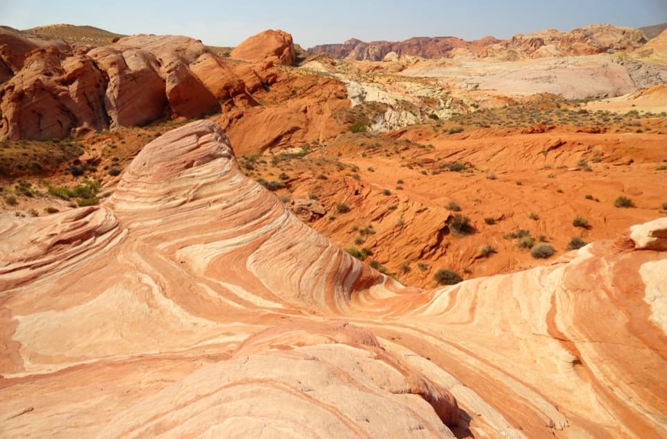
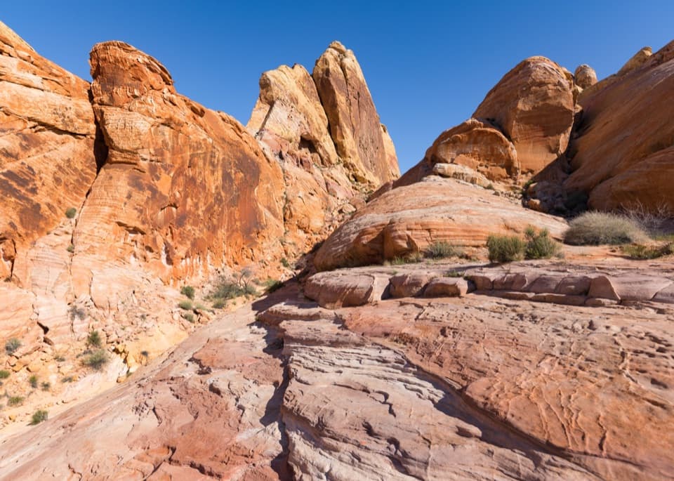
The wash bends southeast between orange-red sandstone walls. The first prominent petroglyph panels appear after roughly one-eighth mile on the left side, with more carvings farther along. Some are cut through a dark desert varnish, making the lighter stone show through. Slow down and scan the walls while walking; several visitors pass carvings when they focus only on the sandy footing. Stay in the established wash, do not climb around the panels, and never touch or mark the rock. The imagery is a protected cultural resource, not a trail-side surface to handle.
The canyon opens briefly and narrows again before a sign near the end points left to Mouse’s Tank. A short final stretch reaches smooth ledges above the basin. The rock hollow can catch rain, but its water level changes and it may be dry; it is not a drinking-water source. After the stop, return along the same wash and look for panels you missed on the way in. The official 0.7-mile figure describes the full out-and-back, not just the one-way corridor.
Valley of Fire’s red Aztec sandstone is the remnant of windblown dunes formed about 150 million years ago. Park interpretation places some rock art in the Basketmaker period roughly 2,500 years ago, with later cultures also represented, but we did not establish a precise age for the panels along this particular wash. The marks cut across desert varnish; their shapes are visible, while exact meanings are not established. A story attributed to the trailhead sign links the name “Mouse” to a Southern Paiute man said to have hidden in the canyon in the 1890s. Treat that as a local account: we found no independent historical confirmation.
High heat can make even a short desert walk dangerous. Carry drinking water, take breaks, and choose a cooler time of day; the basin is not a substitute for a water supply. The entire park closes for annual maintenance from December 1 through 14, so this walk is unavailable during that period.
Wildlife
 638 sightingsBighorn SheepMost seen around 6 PMSighting map
 11 sightingsMojave Desert TortoiseMost seen around 8 AMSighting map
 23 sightingsSidewinderMost seen around 7 PMSighting map
 18 sightingsBlack-tailed JackrabbitMost seen around 6 AMSighting map
 11 sightingsRingtailMost seen around 8 PMSighting map
 19 sightingsRed-tailed HawkMost seen around 10 AMSighting map
Sighting maps show where each species has been reported across Valley of Fire. Wildlife moves, so no sighting is guaranteed.
Keep exploring
 EasyRainbow Vista Trail1 mi · 45 min · 0.7 mi awayA sandy canyon walk to a rugged overlook above Fire Canyon
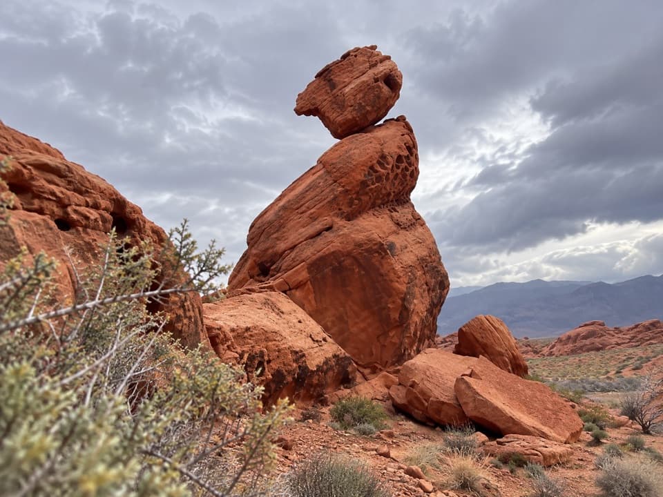 EasyBalancing Rock Trail0.3 mi · 15 min · 0.8 mi awayA short walk to a sandstone stack with an eyelet.
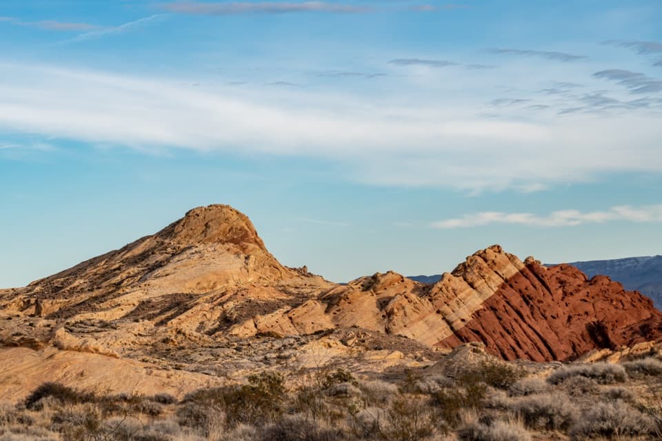 ModerateSilica Dome Trail1.2 mi · 1 hr · 1.3 mi awayA short scramble climbs to a wide view over Fire Canyon.
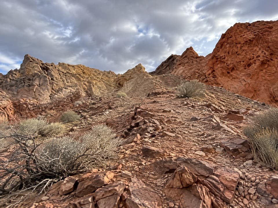 ModerateFire Canyon Loop Trail5.7 mi · 3.5 hr · 1.3 mi awayA longer Silica Dome circuit where a downloaded track earns its keep.
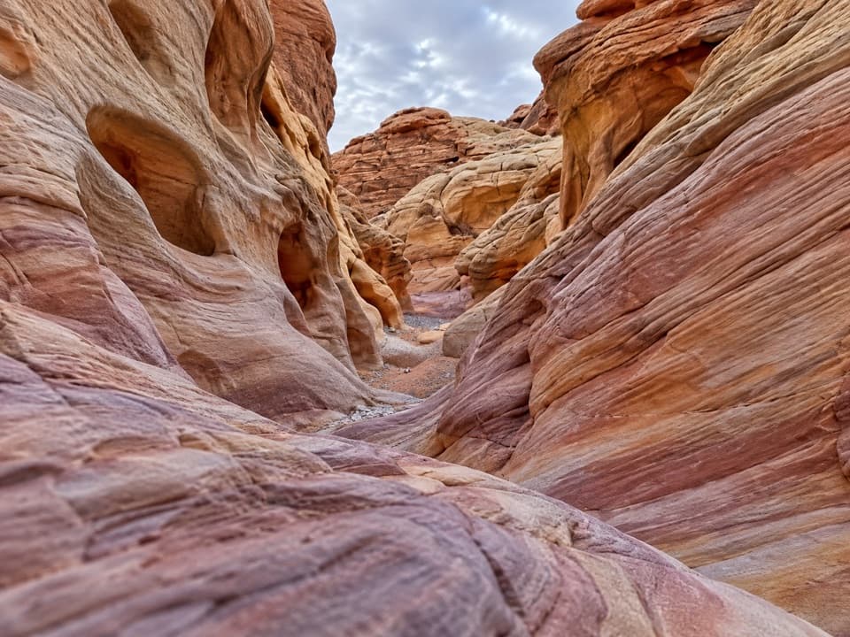 ModerateProspect Trail4.6 mi · 3.3 hr · 1.7 mi awayAn open cross-park hike over a red-rock pass into a striped wash.
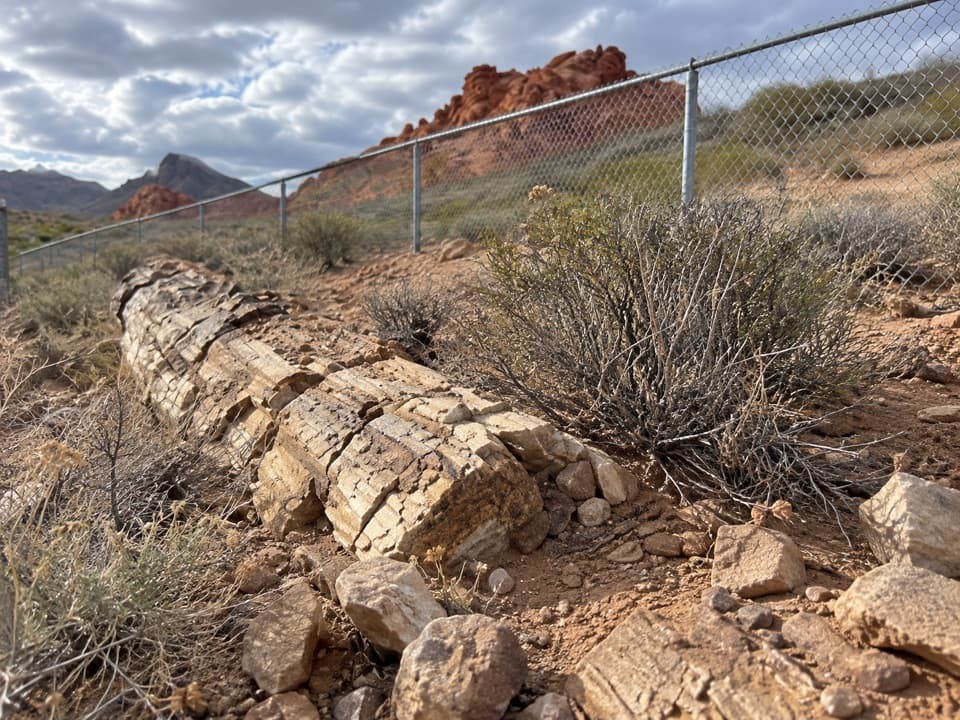 EasyPetrified Logs Loop Trail0.3 mi · 20 min · 1.9 mi awayA short loop with fossil wood and the story behind its grain.
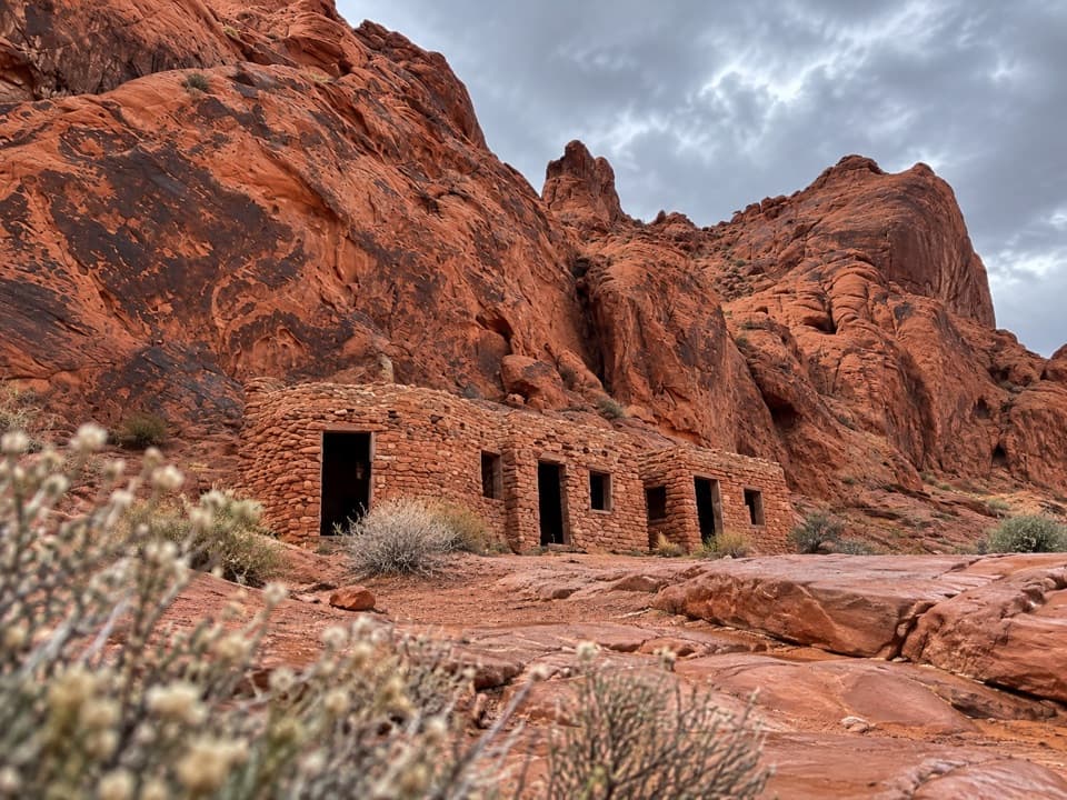 EasyThe Cabin Trail0.6 mi · 30 min · 2.1 mi awayWalk to 1930s CCC cabins, then pause at the shaded picnic area.
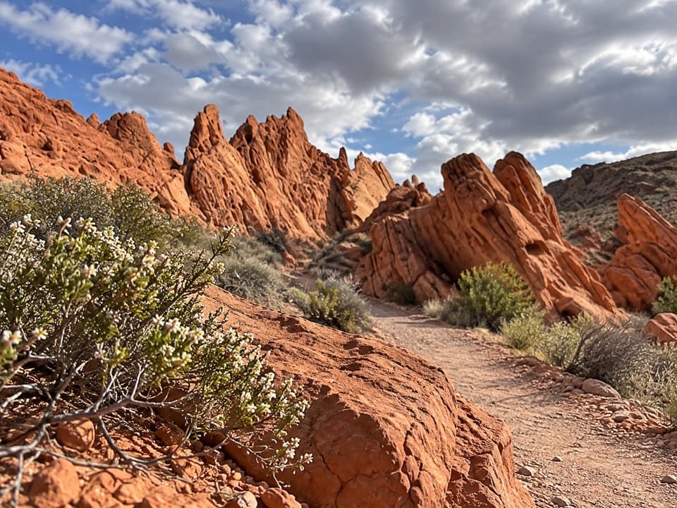 ModeratePinnacles Loop4.7 mi · 2.5 hr · 2.3 mi awayFollow a sandy wash into a pocket of red sandstone spires.
 Picnic area · 0.1 mi awayMouse’s Tank Picnic AreaA shaded lunch stop with petroglyphs just behind it.
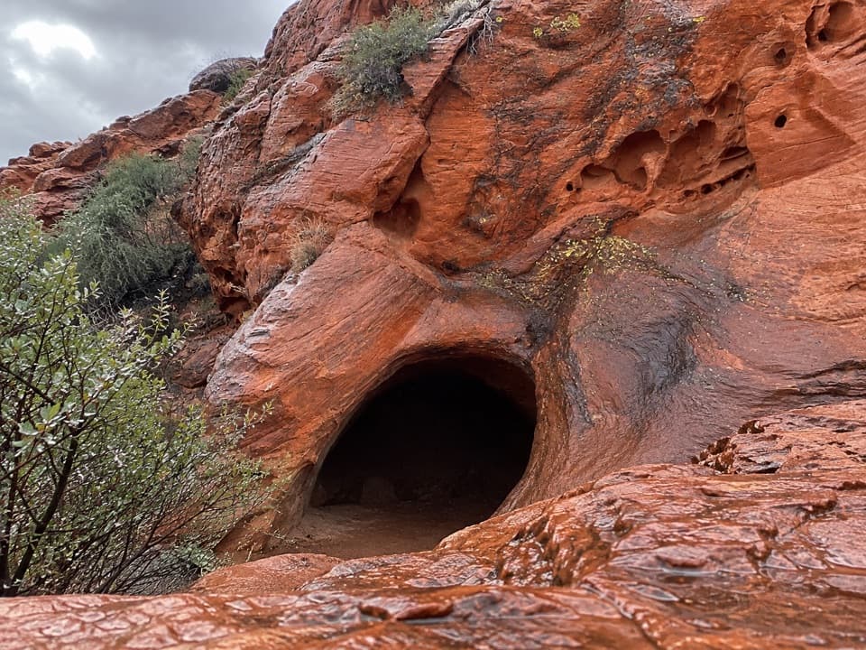 Sight · 0.3 mi awayMouse's TankA short canyon walk where petroglyphs lead to a rain-fed basin.
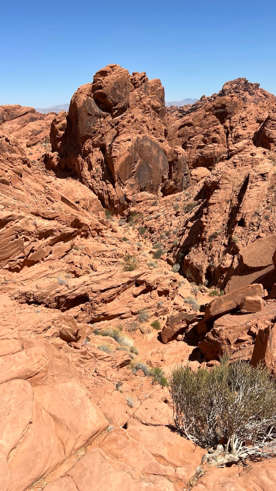 Sight · 0.6 mi awayFire Canyon OverlookA short, sandy hike ends above a rugged red-rock canyon.
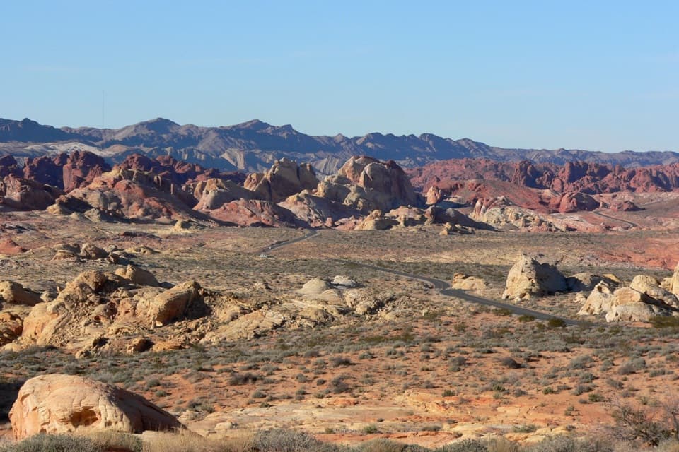 Sight · 0.7 mi awayRainbow VistaA ridge-top panorama over miles of multicolored sandstone.
 Sight · 0.8 mi awayBalancing RockAn odd little sandstone perch on a very short walk.
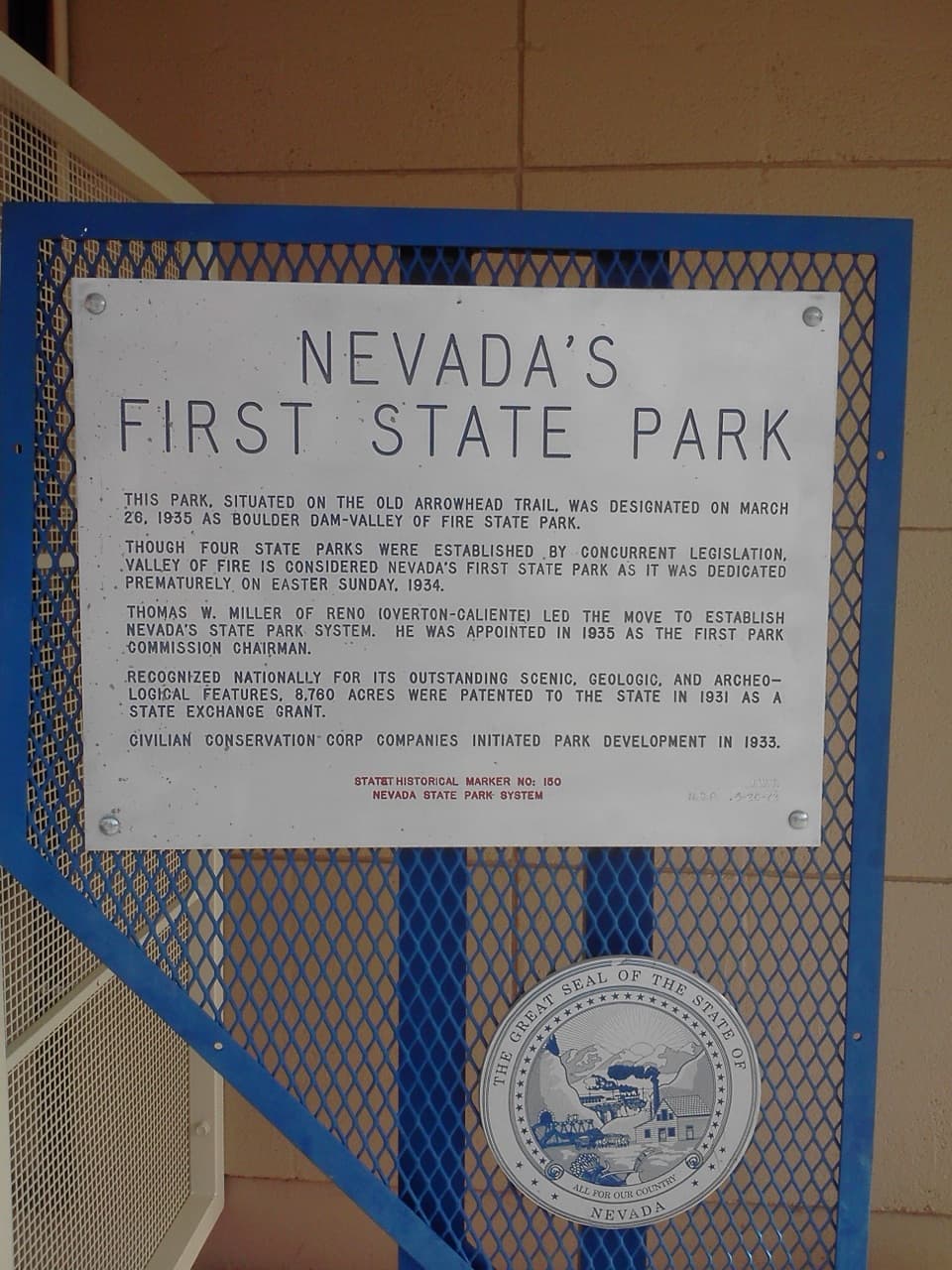 Historic marker · 0.8 mi awayNevada’s First State Park Historical MarkerA quick marker stop for the park’s early history and Arrowhead Trail.Sight · 1.2 mi awayFire Canyon / Silica Dome OverlookA roadside stop for the pale dome and fiery canyon bands.
 Picnic area · 1.3 mi awaySeven SistersA shaded roadside picnic area beneath seven red sandstone towers.
Parkwolf’s Valley of Fire ranking

The audio tour guide for the drive, plus offline maps, trails, and wildlife heatmaps for when the signal drops.