Pros & cons
PROS
- Raw fire-and-ice scenery with active geothermal fields at the glacier edge
- Marked routes from Sigurðarskáli toward the glacier margin and nearby peaks
CONS
- Seasonal, challenging F-road access with no services; true 4x4 required
- Unstable glacier terminus and hazardous ice caves; guided-only on-glacier
Overview
Kverkfjöll is the remote, geothermal heart of the northern Highlands—where volcanic heat presses straight into the Vatnajökull ice cap. It’s a stark, cinematic mash-up of black deserts, steaming ground, and glacier views. The range tops out around 1,920 meters at Skarphédstindur and is known for one of Iceland’s most powerful geothermal fields right at the ice edge. If you’re chasing the park’s purest “fire meets ice” moment, this is it.
What You’ll See
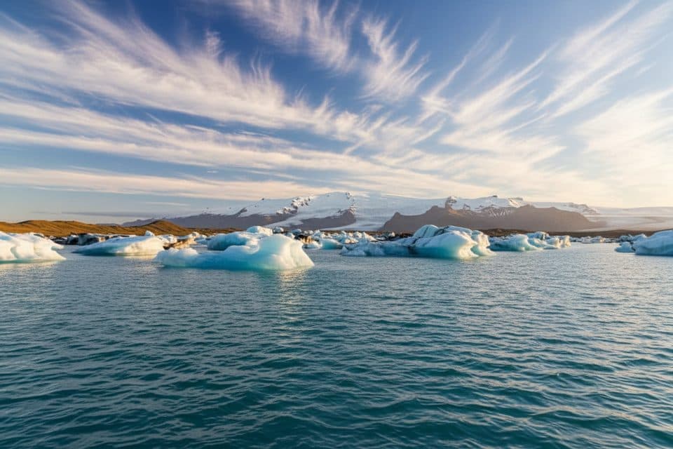
Expect austere beauty: big skies, ash and lava underfoot, and the blue-white wall of ice beside active geothermal areas. The shapes of subglacial channels and melt features shift year to year, so the scenery never repeats. Wildlife is sparse, but in the broader eastern Highlands you might luck into reindeer; ptarmigan or even an Arctic fox are occasional bonuses.
Trails and Landmarks
The area is anchored by the Sigurðarskáli hut, with marked trails radiating out. A signed path links the hut to a car park by Kverkjökull’s snout (about 3 km), and routes toward Virkisfell and Biskupsfell also start around the hut. The glacier terminus is unstable in summer—ice blocks can calve without warning—so keep a conservative buffer and stay off the ice unless you’re with a licensed guide.
Safety Essentials
- Ice caves and subglacial areas here are extremely unstable—never enter without a licensed guide.
- Weather flips fast in the Highlands; rivers can swell by afternoon. Build time for retreat options.
- There’s no guaranteed signal. Carry proper layers, maps/GPX, and emergency gear if you go beyond the hut area.
Getting There and Logistics
Access is via seasonal F-roads only—illegal and unsafe for non‑4x4 vehicles. Approaches may include unbridged glacial river fords. There are no services in the area, so fuel and stock up before leaving the Ring Road (Möðrudalur is a classic top‑up stop on northern approaches). Parking at remote Highland trailheads like Kverkfjöll is typically free and basic; don’t count on restrooms or running water.
Why It’s Special
Among the park’s many glacier fronts and volcanic zones, Kverkfjöll stands out for the sheer intimacy between geothermal heat and ice—it’s the Highlands distilled. If you love scale, mood, and the feeling of being very far from anywhere, it’s a gem; if you need amenities, you’ll hate it.
Best Time to Visit
- Season: Late June–early September is the window. Late June to early July usually brings more stable tracks and fewer people than peak summer; September can be rewarding but wetter.
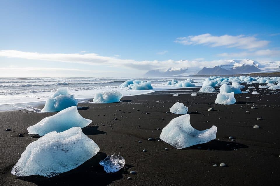
- Time of day: Aim for late-day light to bring texture to the black sands and ice. Sunrise/sunset color can be excellent on clear days.
- Crowds: Minimal by park standards; weekends vs. weekdays makes little difference due to remoteness.

Planning Help
For current road and trail conditions, touch base with park rangers at regional visitor centers before heading in; Snæfellsstofa (East) and the Mývatn-area center commonly advise on routes that feed toward Kverkfjöll.
Where it is
64.6500, -16.7000Tips for Kverkfjöll
- 01Drive only in a true 4x4 and check F-road openings the morning you go.
- 02Fuel up and stock food and water before leaving the Ring Road; there are no services.
- 03Ask park rangers at Snæfellsstofa or the Mývatn-area center about current conditions.
- 04Do not enter ice caves or approach the glacier terminus without a licensed guide.
- 05Plan for late-day light; the landscape’s textures photograph best toward evening.
Amenities
Near Kverkfjöll
All places →All trails →
1.3 mi awayHveradalur (Kverkfjöll)Steam, sulfur, and ice collide in a raw geothermal valley
7 mi awaySigurðarskáli HutRemote Kverkfjöll hut with bunks, camping, and glacier day hikesLodging · Campground
14.3 mi awayHoluhraunVast, fresh lava field from Iceland’s 2014–15 fissure eruptionTrailhead · Parking
25 mi awayAskja CalderaA remote caldera of crater lakes, lunar lava, and real adventureParking · Restroom
28.8 mi awayAskja Víti Crater TrailLunar walk to a warm crater beside Iceland’s deepest lakeEasy · 4 mi · 1.8 hr
39.6 mi awayHeinabergslón Lagoon TrailQuiet glacier-lagoon loop with big views and tricky river issuesModerate · 7.6 mi · 3 hr
41.1 mi awayHjallanes to Skálafellsjökull ViewpointQuiet loop to a real glacier view, with moraine and solitudeModerate · 5.2 mi · 3.5 hr
44.5 mi awaySjónarnípa Viewpoint Trail (S6)Basalt falls plus a cliff-top glacier overlook in one tidy loop.Moderate · 4.6 mi · 2.5 hr