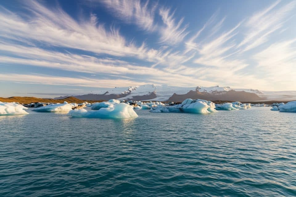
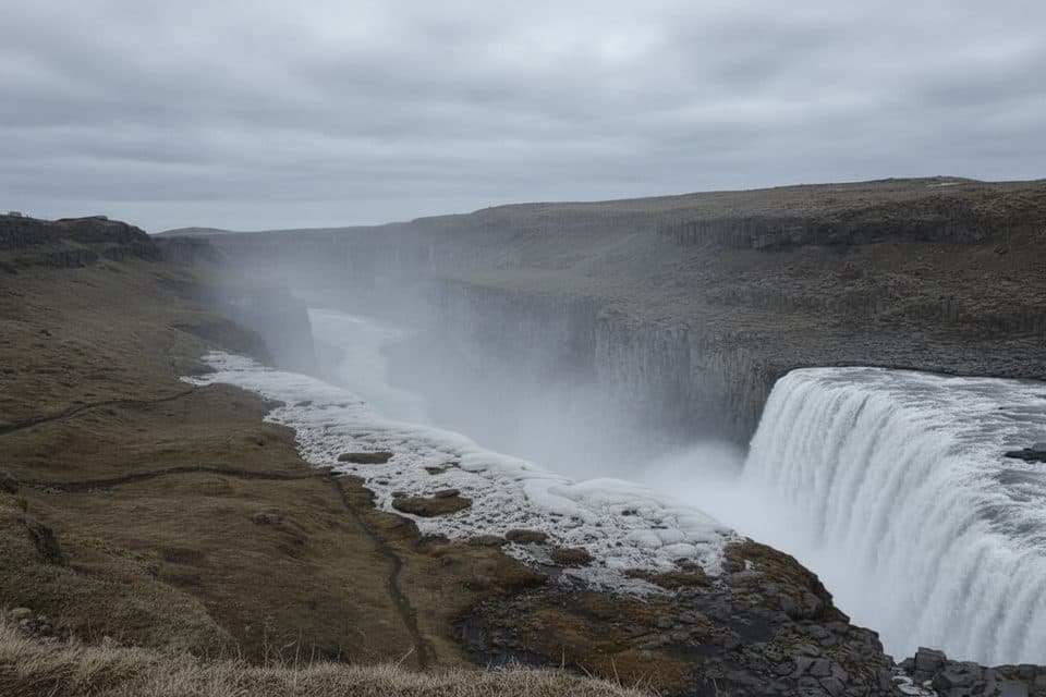
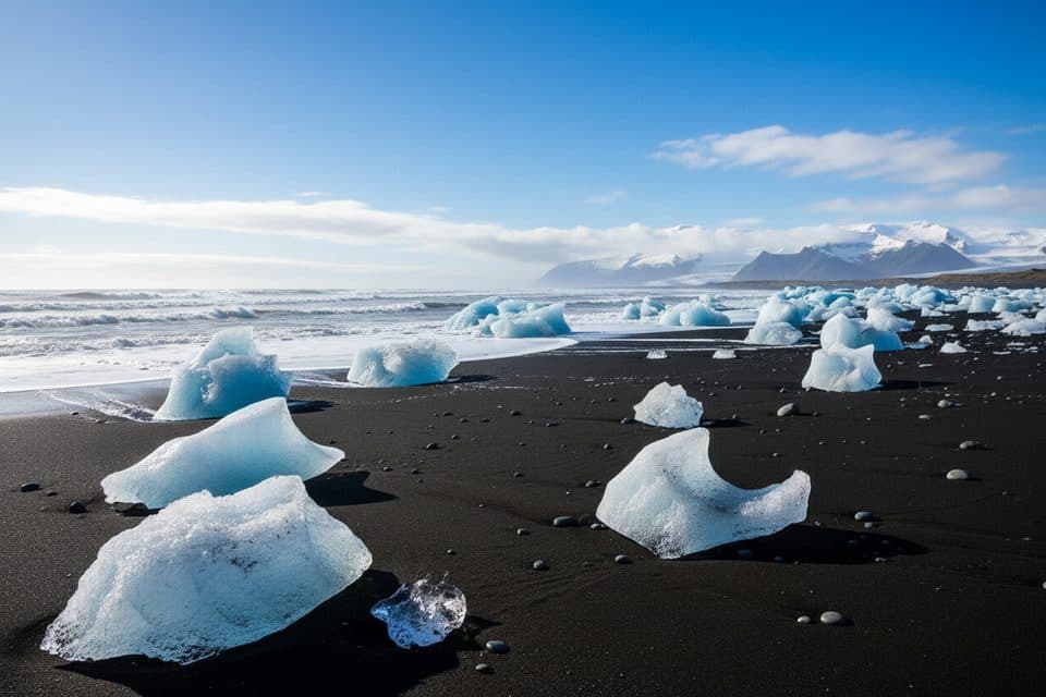
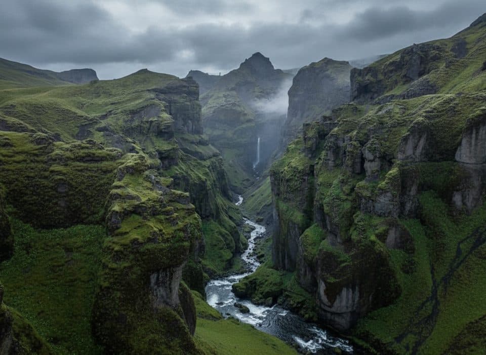
Morsárfoss in Vatnajökull National Park

Sight · Vatnajökull National Park

Morsárfoss

Iceland’s tallest waterfall, usually admired from distant high trails

Photo: Mapbox

Overview

About Morsárfoss

Morsárfoss is a recent natural marvel and, at about 240 meters, the tallest known waterfall in Iceland. It appeared as the Morsárjökull outlet glacier receded, cascading down a headwall above the glacier tongue in the Skaftafell area. The setting is raw, icy, and grand—this is a waterfall shaped by ongoing glacial change.

Why stop

  • Iceland’s tallest waterfall born from the retreating Morsárjökull
  • Dramatic glacier-framed views from high trails around Skaftafell

Heads up

  • Usually a distant, binoculars-needed view; close access is technical
  • Weather and conditions can limit visibility and trail access

Map

Where it is

Loading the Vatnajökull map
Full map
SightMorsárfoss64.11007, -16.86616
Keep this map with you offline in the Parkwolf app

Local know-how

Tips for visiting Morsárfoss

  1. Check in at the Skaftafell visitor area for current trail and visibility advice before committing.

  2. Bring binoculars or a long lens—most views are distant.

  3. Aim for late spring to early autumn and clear skies for the best chance of seeing the falls.

  4. If attempting any glacier approach, hire a certified guide and use proper equipment.

  5. Start early and pack full waterproof layers, food, and water for a full-day outing.

Plan your stop

Before you go

Best time to visit

Late spring through early autumn is prime: higher trails are typically open and snow-free, visibility is better, and glacial melt boosts the waterfall’s flow. Summer offers the strongest water volume and the longest daylight windows. Winter often limits access to the necessary viewpoints; glacier approaches are guide-only and highly condition-dependent any time of year. Clear skies matter more than the day of the week here.

Amenities and Logistics

There are no services at Morsárfoss or at the remote viewpoints. Base your day at Skaftafell: park there, get route advice at the visitor area, and start your hike. Skaftafell has restrooms, pay showers, water fill, and a year‑round campground; beyond that, you’ll be packing in and out everything you need.

1 active Vatnajökull alert

  • ClosureFosshvammur permanently closed at DettifossFosshvammur at Dettifoss is permanently closed to all traffic; do not enter.Official details
Vatnajökull alerts
A park ranger sits on a dash-mounted phone, talking, as Parkwolf’s Tour Guide plays “Army Cutworm Moths: A Grizzly Bear Buffet” on Grand Loop Road below Dunraven Pass in Yellowstone
Parkwolf Tour GuideThe highest, rockiest slopes around here are a summer buffet for grizzly bears.

Vatnajökull Tour Guide

Your drive to Morsárfoss, narrated.

Parkwolf is a GPS audio tour guide for Vatnajökull National Park. As you drive, it chimes in with what’s ahead: hidden gems, upcoming stops, history, geology, and wildlife, right through your car’s speakers.

  • 102 audio storiesacross Vatnajökull’s roads, triggered by GPS as you drive
  • Wildlife heatmapsfor Grey Seal, Harbor Seal, Caribou, and 13 more
  • Works offlinemaps, 16 trails, 72 places, and audio download before you lose signal
  • CarPlay readysimple controls built for the drive
★★★★★
“Fantastic app with many points of information… It’s great to just turn on while you’re driving and it gives you an audio tour of the national Park. We love it!!!!”
JMJamesApp Store review
Download Parkwolf on the App StoreGet Parkwolf on Google Play

4.7 from 8,600+ ratings

Guide

More about Morsárfoss

How to See ItManage expectations: most visitors admire Morsárfoss from afar.

Manage expectations: most visitors admire Morsárfoss from afar. The most reliable way is to hike high trails out of Skaftafell for elevated sightlines into the Morsárjökull basin. The Kristínartindar peaks are a classic target—roughly 6 km away—offering sweeping vistas where binoculars or a long lens make a big difference. Approaching the base is not a standard hike; it involves glacier travel with objective hazards and should only be attempted with a certified guide and proper equipment.

Routes and EffortExpect a full-day outing to reach worthwhile viewpoints in clear weather.

Expect a full-day outing to reach worthwhile viewpoints in clear weather. Options include traversing the Morsárdalur valley or climbing toward ridgelines above Skaftafell. Trails can be long and strenuous, and conditions (wind, rain, cloud) often dictate whether you’ll see the falls at all. Start early, carry layers, and be ready to pivot if the weather turns.

Safety and ConditionsThis terrain is serious.

This terrain is serious. Glacier travel requires crampons, ice tools, and rope systems—and experienced leadership. Even on dry trails, rapid weather changes can shut down views or make footing slick. Check the forecast before committing, and carry waterproof layers, gloves/hat, and sturdy waterproof boots. Pack enough food and water for a full day out.

If You Want a Sure-Thing WaterfallIf cloud or time nix your Morsárfoss plans, Svartifoss is the park’s reliable, close-up…

If cloud or time nix your Morsárfoss plans, Svartifoss is the park’s reliable, close-up waterfall hike from Skaftafell—with great scenery and far less uncertainty.

Wildlife

Wildlife in Vatnajökull

All Vatnajökull wildlife maps

Sighting maps show where each species has been reported across Vatnajökull. Wildlife moves, so no sighting is guaranteed.

Parkwolf’s Vatnajökull ranking

Top sights in Vatnajökull

All 72 places
  1. 1DettifossSight
  2. 2JökulsárlónSight
  3. 3Dettifoss West ViewpointSight
  4. 4Diamond Beach (Breiðamerkursandur)Beach
  5. 5MúlagljúfurSight
  6. 6Breidamerkurjökull GlacierSight

Take Parkwolf to Vatnajökull.

The audio tour guide for the drive, plus offline maps, trails, and wildlife heatmaps for when the signal drops.

4.7 from 8,600+ ratings

Download Parkwolf on the App StoreGet Parkwolf on Google Play