Best time to visit
Summer is prime. The trail is frequently closed in early spring and can be hazardous in winter. Pick a clear-weather day—this hike shines in good visibility—and start early to enjoy quieter trails and steadier conditions.

Sight · Vatnajökull National Park
Big-view summit loop over Skaftafell’s glaciers and falls
Overview
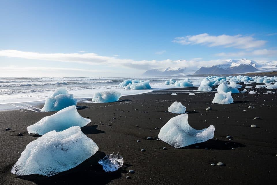
If you’ve got legs for a big day, Kristínartindar is the Skaftafell hike that pays you back in views: sweeping glaciers, jagged peaks, and the black sand plains rolling to the coast. It’s a long, demanding loop, but the summit ridge is a showstopper.
Map
Local know-how
Hike the loop counterclockwise for a steadier climb and easier descent.
To shorten the approach, cross the bridge by Magnúsarfoss instead of detouring to Svartifoss.
Bring trekking poles; carry microspikes if temperatures are near freezing.
Check trail status at Skaftafell—early-season closures are common and there’s no detour.
Pack binoculars to spot Morsárfoss from the summit ridge.
Plan your stop

The highest, rockiest slopes around here are a summer buffet for grizzly bears.
Vatnajökull Tour Guide
Parkwolf is a GPS audio tour guide for Vatnajökull National Park. As you drive, it chimes in with what’s ahead: hidden gems, upcoming stops, history, geology, and wildlife, right through your car’s speakers.
More stories near here in the app
“Fantastic app with many points of information… It’s great to just turn on while you’re driving and it gives you an audio tour of the national Park. We love it!!!!”


Guide
Start at the Skaftafell Visitor Centre and follow the path toward the waterfalls. You can either visit Svartifoss first or shorten the approach by crossing the bridge by Magnúsarfoss to reach Sjónarsker. From there, continue to the foot of Kristínartindar, turn left and climb a steep scree to the ridge, then left again to the summit. Descend back to the ridge, drop toward Gláma, continue to Sjónarnípa, and return via Austurbrekkur to the visitor area. Many hikers prefer doing the loop counterclockwise for a steadier climb and an easier descent on the loose bits. Expect roughly 18 km, about 1,065 m of elevation, and around 7 hours on trail.
This is a moderate-to-hard outing due to the distance and the final steep scree. Trekking poles help a lot. In winter or when temperatures flirt with freezing, icy sections can make traction (like microspikes) necessary. The park often closes the Kristínartindar route in early spring—sometimes into June—due to thawing conditions, and there is no alternative summit route. Check status at the visitor centre before you commit. Not recommended for children.
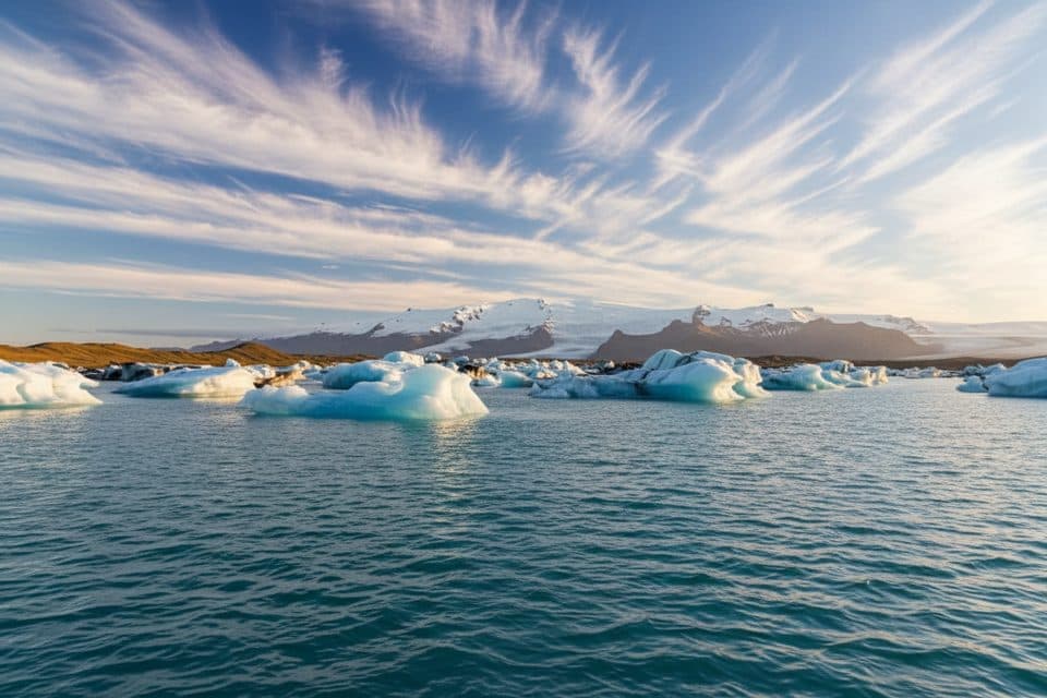
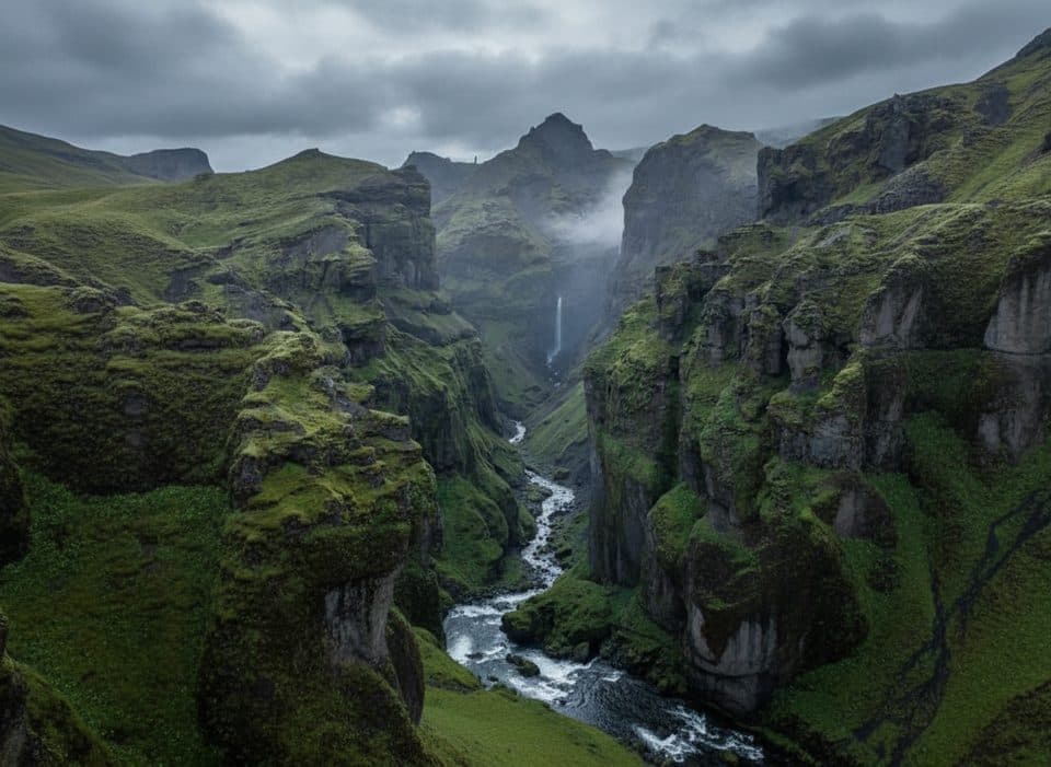
The approach threads past Skaftafell’s waterfalls (including Svartifoss and Magnúsarfoss) before opening to glacier country. From the ridge and summit you’ll gaze over outlet glaciers and the vast sandur plain; with clear skies and a bit of patience, you can spot Morsárfoss—the country’s tallest waterfall—across the ice. The descent via Sjónarnípa adds a dramatic viewpoint over Skaftafellsjökull.
This landscape is shaped by "fire and ice"—active volcanism beneath the Vatnajökull ice cap and relentless glacial carving. Periodic glacial outburst floods (jökulhlaups) have built the sweeping outwash (sandur) plains south of the ice, a textbook example of Earth in motion that you can read from the Kristínartindar ridge.
Wildlife
 22 sightingsGrey SealMost seen around 5 AMSighting map
 258 sightingsHarbor SealMost seen around 11 AMSighting map
 184 sightingsCaribouMost seen around 7 PMSighting map
 62 sightingsArctic FoxMost seen around 8 PMSighting map
 168 sightingsWhooper SwanMost seen around 5 PMSighting map
 68 sightingsAtlantic PuffinMost seen around 7 PMSighting map
Sighting maps show where each species has been reported across Vatnajökull. Wildlife moves, so no sighting is guaranteed.
Keep exploring
 ChallengingKristínartindar Trail (S4)17.9 km · 7 hr · 6.2 km awayA demanding 17.9 km loop from Skaftafellsstofa to Kristínartindar’s steep summit ridge, with glacier views throughout.
 ChallengingMorsárjökull via Morsárdalur19.6 km · 6.5 hr · 6.2 km awayComplete M2 loop from Skaftafell to Morsárjökull’s glacier-lake viewpoint
 EasySkaftafellsjökull Glacier4.1 km · 1.5 hr · 6.2 km awayEasy circular glacier trail with interpretive stops and close Skaftafellsjökull views
 ModerateSvartifoss–Sjónarsker–Sel (S2)5.8 km · 2 hr · 6.2 km awayBasalt falls, big views, and turf houses in one tidy loop
 ModerateSvartifoss Waterfall (Skaftafell)3.9 km · 1.5 hr · 6.2 km awayA short, sustained climb from Skaftafell Visitor Centre to Iceland’s basalt-framed waterfall.
 ModerateSjónarnípa Viewpoint Trail (S6)7.5 km · 2.8 hr · 6.2 km awaySvartifoss and a cliff-top glacier overlook in one challenging loop.
 Sight · 4.7 km awaySkaftafellsjökull ViewpointEasy walk to a glacier lagoon with booming, ash-streaked ice
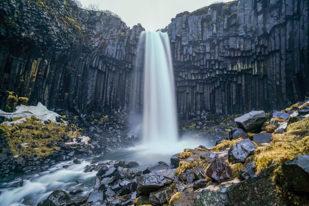 Sight · 5.2 km awaySvartifossBasalt-column waterfall via a short, rewarding Skaftafell hike
 Sight · 5.4 km awayMorsárfossIceland’s tallest waterfall, usually admired from distant high trails
 Sight · 6.1 km awayHundafossPretty gorge waterfall on the Svartifoss trail, best from the west
 Visitor center · 6.2 km awaySkaftafellsstofa Visitor CenterThe hub for trail info, exhibits, and a warm pre-hike coffee
 Campground · 6.4 km awaySkaftafell CampgroundBig, well-situated basecamp for hikes and glacier adventures
 Sight · 7.8 km awaySvínafellsjökull ViewpointShort walk to a blue-ice glacier tongue and lagoon
Parkwolf’s Vatnajökull ranking

The audio tour guide for the drive, plus offline maps, trails, and wildlife heatmaps for when the signal drops.