Pros & cons
PROS
- Short, easy walk to a close viewing platform
- Striking waterfall-in-a-fissure setting with optional rim views
- Usually far less crowded than roadside waterfalls
CONS
- 4x4-only F-road access with possible river fords
- Very limited facilities and no food or water on-site
- Summer-only access window; conditions can close roads
Overview
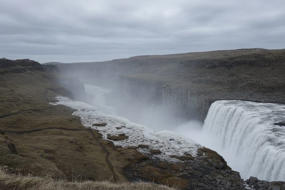
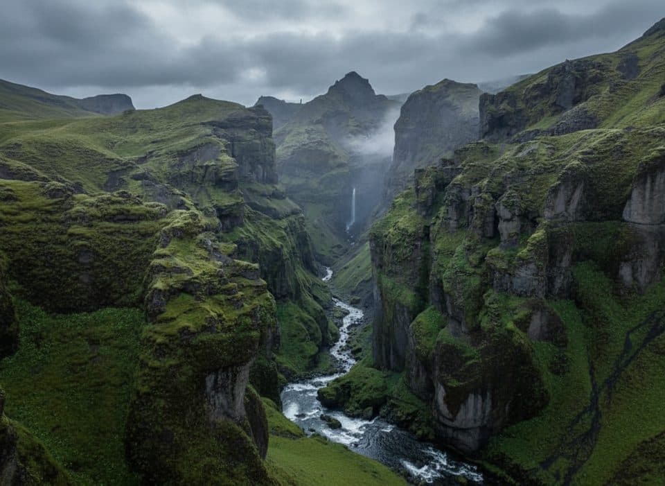
Ófærufoss is a beautiful multi-tiered waterfall tucked inside Eldgjá, the world’s largest volcanic canyon. The mix of dark basalt walls, a broad plunge pool, and layered falls gives it a distinctive “waterfall-in-a-fissure” look. A natural rock arch once spanned the lower falls but collapsed in 1993 after flooding—what remains is still dramatic and photogenic.
Getting There & Season
Access is via interior Highland F-roads (primarily F208). A proper 4x4 is required, and river crossings may be involved; always check current road and weather conditions before driving. Highland tracks typically open from late June through early September, depending on melt and rain. There’s a signed car park at Eldgjá, and from there it’s a short, straightforward walk to the Ófærufoss viewing platform. Facilities are minimal; plan to be self-sufficient.
If you’d rather avoid a vehicle ford, you can park south of the Ströngukvísl river and use a hiking bridge to access a scenic trail that follows the Nyðri Ófæra into Eldgjá.

The Walk & Viewpoints
The main path along the canyon floor is mostly level and leads directly to the waterfall viewpoints. Expect some uneven, rocky, and sometimes wet footing—waterproof boots help. If you have time and energy, trails climb toward the canyon rim for commanding views over the gorge and falls.
Safety
Highland weather changes fast. Bring warm, waterproof layers, navigation, and tell someone your plan. Stay on marked paths and keep back from cliff edges—rocks can be loose. Given Eldgjá’s history of outburst floods, avoid river margins during heavy rain or rapid melt periods.
Geology & History
Eldgjá is a complex graben and eruptive fissure system, with an eruption around 938 AD that produced vast basaltic lavas. Parts of the eruption were subglacial and helped trigger a major jökulhlaup. The canyon’s most spectacular 8 km section is up to ~400 m wide and ~150 m deep, framing Ófærufoss perfectly. The once-famous stone arch across the lower falls collapsed in the early 1990s due to natural forces.
Photography
Soft light—morning, evening, or overcast—brings out textures in the dark basalt and moss. After rain, the flow swells for more drama, but bring a cloth to manage lens mist near the spray.
Wildlife & Environment
The Central Highlands are sparse but fragile: hardy mosses carpet the lava, and summer brings nesting birdlife. Give wildlife space, stick to trails, and pack out all waste.
Best Time to Visit
Summer only, when F-roads are open. Aim for early or late in the day for softer light and even fewer people. Overcast mid-day works well for balanced exposures. Many travelers pair Eldgjá/Ófærufoss with Landmannalaugar or nearby Highland waterfalls on the same day.
Where it is
63.9643, -18.6176Tips for Ófærufoss
- 01Check F-road openings and weather the morning you go; plans can change fast.
- 02If you want to avoid vehicle river crossings, park south of Ströngukvísl and use the hiking bridge.
- 03Save offline maps; mobile reception in the Highlands is spotty.
- 04Wear waterproof boots—the canyon floor can be wet and rocky.
- 05Bring all food and water; there are no services at Eldgjá.
Amenities
Near Ófærufoss
All places →All trails →
0.3 mi awayEldgjáVast volcanic canyon with an easy walk to ÓfærufossTrailhead · Parking
9 mi awayBlágil CampsiteRemote Laki-base camp with paid hot showers and big-sky solitudeCampground · Restroom
10.8 mi awayTjarnargígurQuiet blue crater lake in the Laki lava fieldsParking · Scenic Viewpoint
11.6 mi awaySveinstindurShort, steep summit with sweeping views of Langisjór and glaciersTrailhead · Parking
50.2 mi awaySjónarnípa Viewpoint Trail (S6)Basalt falls plus a cliff-top glacier overlook in one tidy loop.Moderate · 4.6 mi · 2.5 hr
50.2 mi awayKristínartindar Trail (S4)Glacier panoramas with a steep, loose scree summit push.Challenging · 11.4 mi · 7 hr
50.2 mi awaySvartifoss Waterfall (Skaftafell)Basalt-column beauty via a short uphill walk from Skaftafell.Moderate · 2.1 mi · 1.5 hr
50.2 mi awaySvartifoss–Sjónarsker–Sel (S2)Basalt falls, big views, and turf houses in one tidy loopModerate · 3.6 mi · 2 hr