Parking
Start at Vestri-Fellsfjara, the parking area beside Fjallsárlón. The finish is at Jökulsárlón rather than back at the same lot, so arrange a pickup, drop-off or other return plan before setting out.
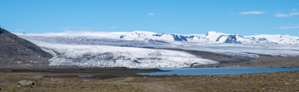
Vatnajökull National Park
A long crossing over rocky sand between glacier-fed lagoons.
Photo: Hansueli Krapf, CC BY-SA 4.0, via Wikimedia Commons
Overview
Map & elevation
Plan your hike

The highest, rockiest slopes around here are a summer buffet for grizzly bears.
Vatnajökull Tour Guide
Parkwolf is a GPS audio tour guide for Vatnajökull National Park. As you drive, it chimes in with what’s ahead: hidden gems, upcoming stops, history, geology, and wildlife, right through your car’s speakers.
Recorded for this trailhead
Fjallsárlón and FROST“You're coming up on Fjallsárlón, where icebergs float below the front of Fjallsjökull glacier. I'd stop for that close view of the glacier, though low cloud or fog can hide the main attraction.”
Plays as you drive up to this trailhead in the Parkwolf Vatnajökull Tour Guide.
More stories near here in the app
“Fantastic app with many points of information… It’s great to just turn on while you’re driving and it gives you an audio tour of the national Park. We love it!!!!”


Trail guide
Breiðármörk (B3) is a 15 km (9.3 mi) one-way hike from Vestri-Fellsfjara by Fjallsárlón to Jökulsárlón. It crosses the open glacial plain between the lagoons on marked ground that shifts from sand to rocky moraine. Allow 4–5 hours. This is a committed point-to-point walk, not a loop: plan your return before leaving the Fjallsárlón parking area.
The route is marked across sand, stones and moraines; the ground is uneven and some stretches are quite rocky. It is graded challenging, though much of it is described as blue, with no major elevation changes or unbridged streams. The long distance and rough footing make it a full outing even without a major climb.
Start at Vestri-Fellsfjara, the parking area beside Fjallsárlón; the route ends at Jökulsárlón. Toilets are available at both lagoon areas, with food services at the ends rather than along the crossing. There is no drinking water on the route, so bring enough for the whole walk. The route page gives a 4–5 hour hiking time; allow extra time for whatever return arrangement you choose.
Breiðamerkursandur is the outwash plain south of Breiðamerkurjökull. Lakes began appearing here in the 1930s as the glacier retreated, and Jökulsárlón, Breiðárlón and Fjallsárlón continue to grow as the ice pulls back and uncovers new land. Breiðamerkursandur was once called Breiðársandur after the farm Breiðá; the area's place names preserve traces of settlement from Iceland's early centuries.
The wider plain is an important nesting area for great skuas and barnacle geese, though sightings along this route are not guaranteed. At the Breiðárlón side of the crossing, the glacier and lagoon rise beyond a broad stony foreground; include some of that open plain in a photo to show the scale of the ice.
Wildlife
 23 sightingsGrey SealMost seen around 5 AMSighting map
 260 sightingsHarbor SealMost seen around 11 AMSighting map
 184 sightingsCaribouMost seen around 7 PMSighting map
 62 sightingsArctic FoxMost seen around 8 PMSighting map
 169 sightingsWhooper SwanMost seen around 5 PMSighting map
 68 sightingsAtlantic PuffinMost seen around 7 PMSighting map
Sighting maps show where each species has been reported across Vatnajökull. Wildlife moves, so no sighting is guaranteed.
Keep exploring
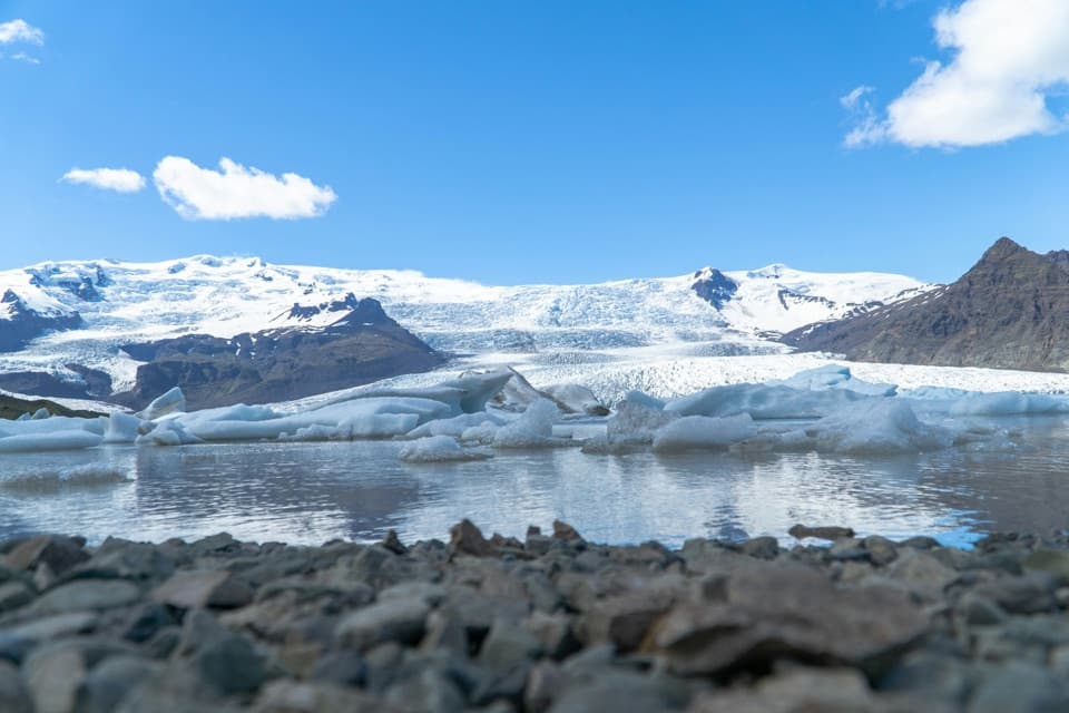 ModerateFjallsárlón B4 Loop1.5 km · 45 min · 0.1 km awayA short loop for a close look at Fjallsárlón.
 ModerateMúlagljúfur Canyon Trail3.9 km · 1.8 hr · 4.3 km awayClimb to a canyon rim with two waterfalls in view.
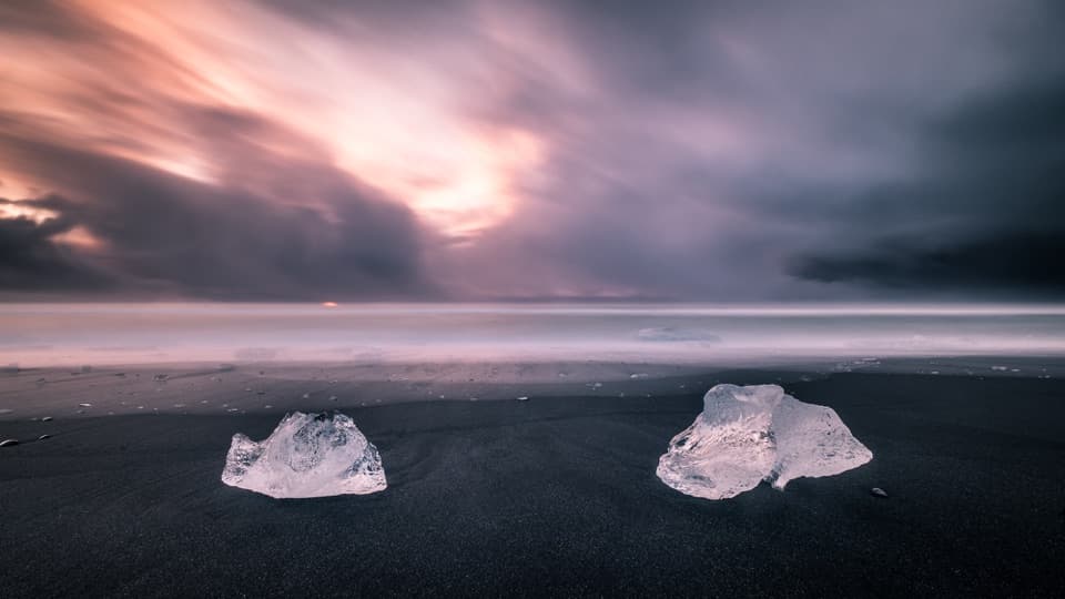 EasyEystri-Fellsfjara (B2) Trail1.2 km · 24 min · 9.7 km awayGlacial ice, black sand, and an easy riverside walk.
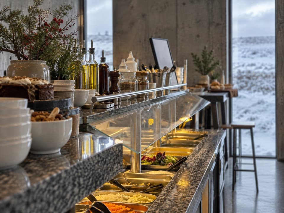 Restaurant · At the trailheadFROST RestaurantA hot buffet with glacier views beside the lagoon.
 Sight · 0.1 km awayFjallsárlón Glacier LagoonA glacier-front lagoon where icebergs drift past the shore.
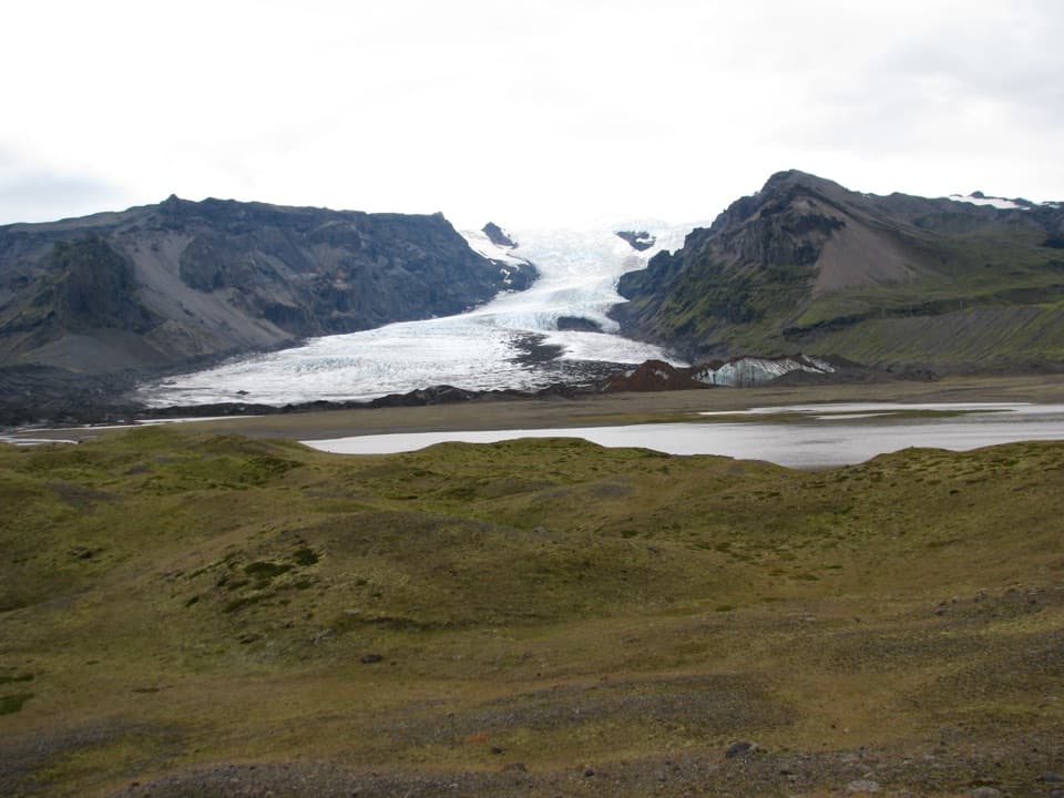 Sight · 9.2 km awayKvíárjökull GlacierGlacier ice, a young lagoon and hills that mark its retreat.
 Beach · 9.7 km awayFellsfjara (Diamond Beach)When ice washes ashore, blue blocks glow against black sand.
 Sight · 9.8 km awayJökulsárlón Glacier LagoonIcebergs drift through a lagoon still growing at the glacier’s edge.
Parkwolf’s Vatnajökull ranking

The audio tour guide for the drive, plus offline maps, trails, and wildlife heatmaps for when the signal drops.



