Parking
Use Fjallsárlón Glacier Parking beside restaurant Frost. Follow the sign behind Frost on the west side of the lot to start B4; the loop returns to the same parking area.
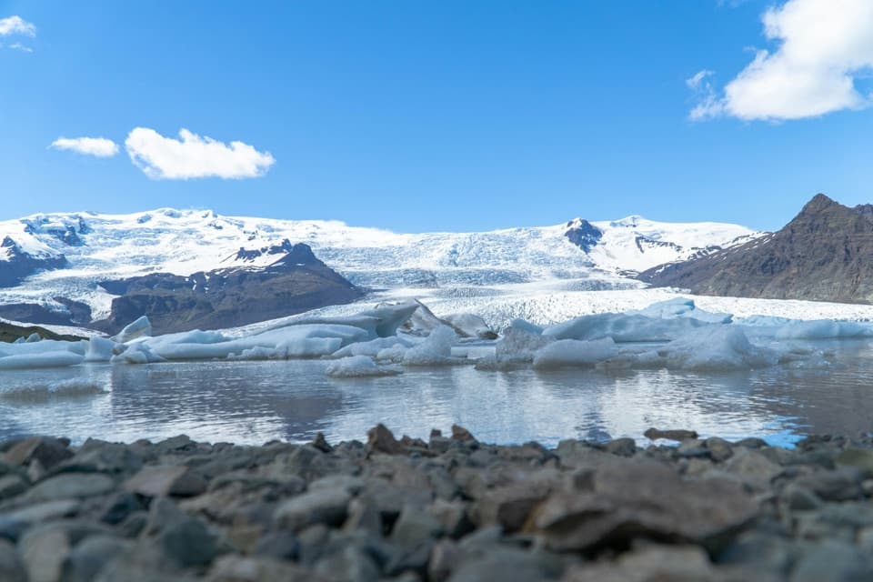
Vatnajökull National Park
A short loop for a close look at Fjallsárlón.
Overview
Map & elevation
Plan your hike

The highest, rockiest slopes around here are a summer buffet for grizzly bears.
Vatnajökull Tour Guide
Parkwolf is a GPS audio tour guide for Vatnajökull National Park. As you drive, it chimes in with what’s ahead: hidden gems, upcoming stops, history, geology, and wildlife, right through your car’s speakers.
Recorded for this trailhead
Fjallsárlón and FROST“You're coming up on Fjallsárlón, where icebergs float below the front of Fjallsjökull glacier. I'd stop for that close view of the glacier, though low cloud or fog can hide the main attraction.”
Plays as you drive up to this trailhead in the Parkwolf Vatnajökull Tour Guide.
More stories near here in the app
“Fantastic app with many points of information… It’s great to just turn on while you’re driving and it gives you an audio tour of the national Park. We love it!!!!”


Trail guide
Fjallsárlón B4 is a 0.93-mile (1.5 km) loop from the parking area, down to the lagoon and back by the former main road. Allow about 45 minutes. Go for the close view of the icebergs and Fjallsjökull; the park rates the route challenging, so expect rougher ground than the short distance suggests.
Start behind restaurant Frost at the educational sign. The marked gravel path descends to a viewpoint over Fjallsárlón, Fjallsjökull, Hrútárjökull, Ærfjall and Breiðamerkurfjall. Near the water, the eastbound marked path is B3 toward Jökulsárlón. Stay with the lagoon for B4, climb the small hill, then follow the former main road back to Frost and the parking lot. B3 is a separate 15 km walk, not an extension of this loop.
The descent viewpoint is the best place to frame the lagoon, glacier and mountains together. Leave some rocky shore in the foreground so the icebergs don’t lose their scale.
Vatnajökull’s retreat exposes new land and shifts glacial river courses. Sand flats and moraines around Fjallsárlón are part of that changing landscape. The wider Breiðamerkursandur lowlands are nesting habitat for great skua, red-throated diver, greylag goose and barnacle goose; treat those as regional wildlife, not promised sightings on this short loop.
Use Fjallsárlón Glacier Parking beside the restaurant; B4 begins on its west side and returns to the same lot. Flush toilets are available at Fjallsárlón. I couldn’t confirm a pet rule for B4, so check with the park before bringing a dog.
Wildlife
 23 sightingsGrey SealMost seen around 5 AMSighting map
 260 sightingsHarbor SealMost seen around 11 AMSighting map
 184 sightingsCaribouMost seen around 7 PMSighting map
 62 sightingsArctic FoxMost seen around 8 PMSighting map
 169 sightingsWhooper SwanMost seen around 5 PMSighting map
 68 sightingsAtlantic PuffinMost seen around 7 PMSighting map
Sighting maps show where each species has been reported across Vatnajökull. Wildlife moves, so no sighting is guaranteed.
Keep exploring
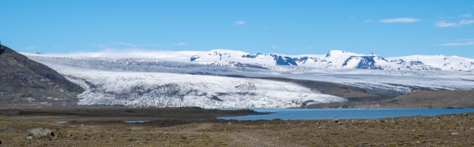 ChallengingBreiðármörk (B3) Trail15 km · 4.5 hr · 0.1 km awayA long crossing over rocky sand between glacier-fed lagoons.
 ModerateMúlagljúfur Canyon Trail3.9 km · 1.8 hr · 4.3 km awayClimb to a canyon rim with two waterfalls in view.
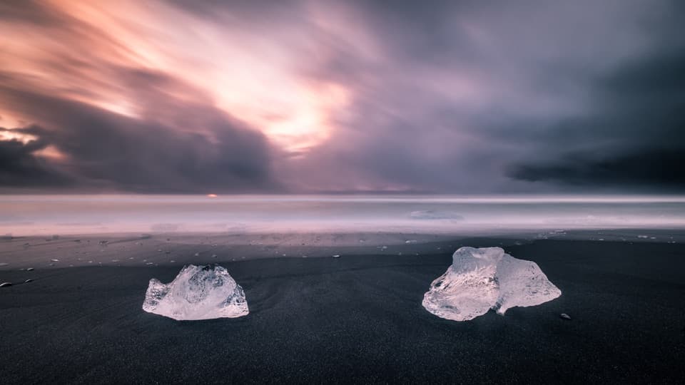 EasyEystri-Fellsfjara (B2) Trail1.2 km · 24 min · 9.7 km awayGlacial ice, black sand, and an easy riverside walk.
 Sight · At the trailheadFjallsárlón Glacier LagoonA glacier-front lagoon where icebergs drift past the shore.
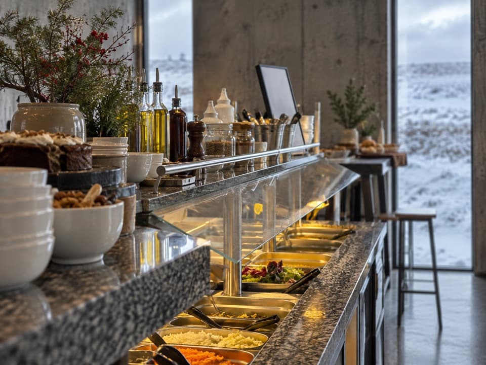 Restaurant · 0.1 km awayFROST RestaurantA hot buffet with glacier views beside the lagoon.
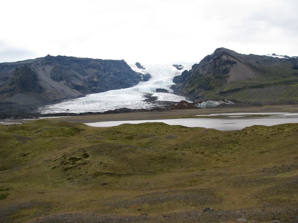 Sight · 9.3 km awayKvíárjökull GlacierGlacier ice, a young lagoon and hills that mark its retreat.
 Beach · 9.7 km awayFellsfjara (Diamond Beach)When ice washes ashore, blue blocks glow against black sand.
 Sight · 9.7 km awayJökulsárlón Glacier LagoonIcebergs drift through a lagoon still growing at the glacier’s edge.
Parkwolf’s Vatnajökull ranking

The audio tour guide for the drive, plus offline maps, trails, and wildlife heatmaps for when the signal drops.



