Parking
Heinabergslón car park — the official E1 starting point. Plan the remote Heinaberg access drive in advance and carry offline navigation.

Vatnajökull National Park
Challenging Heinaberg circle with glacier, waterfall, and basalt views
Overview
Heinaberg (the park's E1 circle route) starts and finishes at Heinabergslón car park, then loops through the Heinaberg area. Vatnajökull National Park lists the route as 6 km (about 3.7 miles), 3–4 hours, challenging, with 145 m of elevation gain. The official GPS track measures approximately 5.78 km, which is consistent with the park's rounded visitor distance.
Map & elevation
Plan your hike

The highest, rockiest slopes around here are a summer buffet for grizzly bears.
Vatnajökull Tour Guide
Parkwolf is a GPS audio tour guide for Vatnajökull National Park. As you drive, it chimes in with what’s ahead: hidden gems, upcoming stops, history, geology, and wildlife, right through your car’s speakers.
More stories near here in the app
“Fantastic app with many points of information… It’s great to just turn on while you’re driving and it gives you an audio tour of the national Park. We love it!!!!”


Trail guide
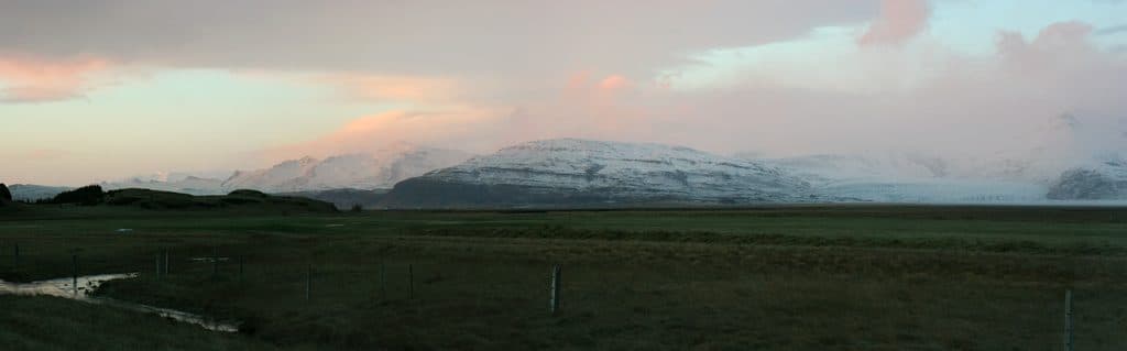
This is a complete loop, not a doubled out-and-back. The official route returns to the car park and passes the Heinaberg area's Bólstaðafoss waterfall, Heinabergsjökull glacier, and basalt columns. The lagoon is the access point and trailhead; the loop's destination is the Heinaberg landscape rather than a separate shoreline viewpoint route.
Start at Heinabergslón car park, the official starting point for E1. This is a remote Heinaberg access area, so plan the drive and navigation before leaving the main road. Use the signed/official route track and carry an offline map because weather and visibility can change quickly in southeast Iceland.
The national park rates this circle challenging. Expect rough natural terrain and a sustained outing despite the modest distance. Bring weatherproof layers, water, and navigation, and follow the marked route rather than improvising across glacial terrain. Heinaberg has several connected hikes with different endpoints and hazards: the park separately warns about river crossings on some of those routes, including an unbridged Hólmsá section. Those warnings do not turn this E1 circle into the separate river routes.
The Heinaberg area also has shorter and longer connected routes. Confirm the route ID and distance before leaving the car park so a point-to-point Heinaberg hike is not mistaken for this 6 km circle.
Wildlife
 22 sightingsGrey SealMost seen around 5 AMSighting map
 258 sightingsHarbor SealMost seen around 11 AMSighting map
 184 sightingsCaribouMost seen around 7 PMSighting map
 62 sightingsArctic FoxMost seen around 8 PMSighting map
 168 sightingsWhooper SwanMost seen around 5 PMSighting map
 68 sightingsAtlantic PuffinMost seen around 7 PMSighting map
Sighting maps show where each species has been reported across Vatnajökull. Wildlife moves, so no sighting is guaranteed.
Keep exploring
Parkwolf’s Vatnajökull ranking

The audio tour guide for the drive, plus offline maps, trails, and wildlife heatmaps for when the signal drops.