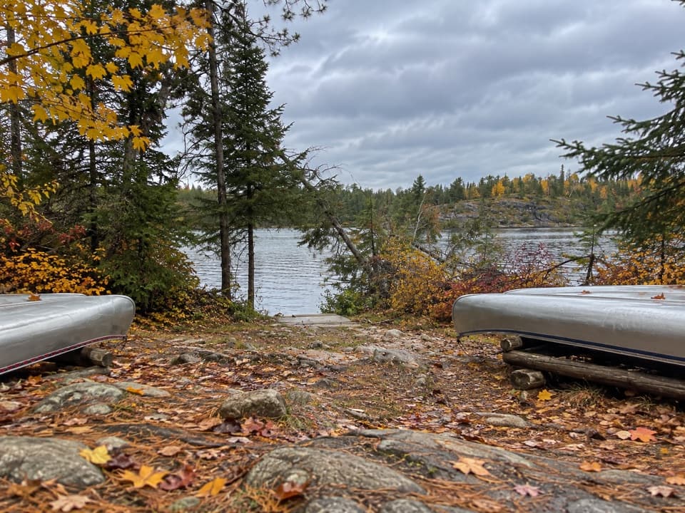
Locator Lake Day-Use Area in Voyageurs National Park

Picnic area · Voyageurs National Park

Locator Lake Day-Use Area

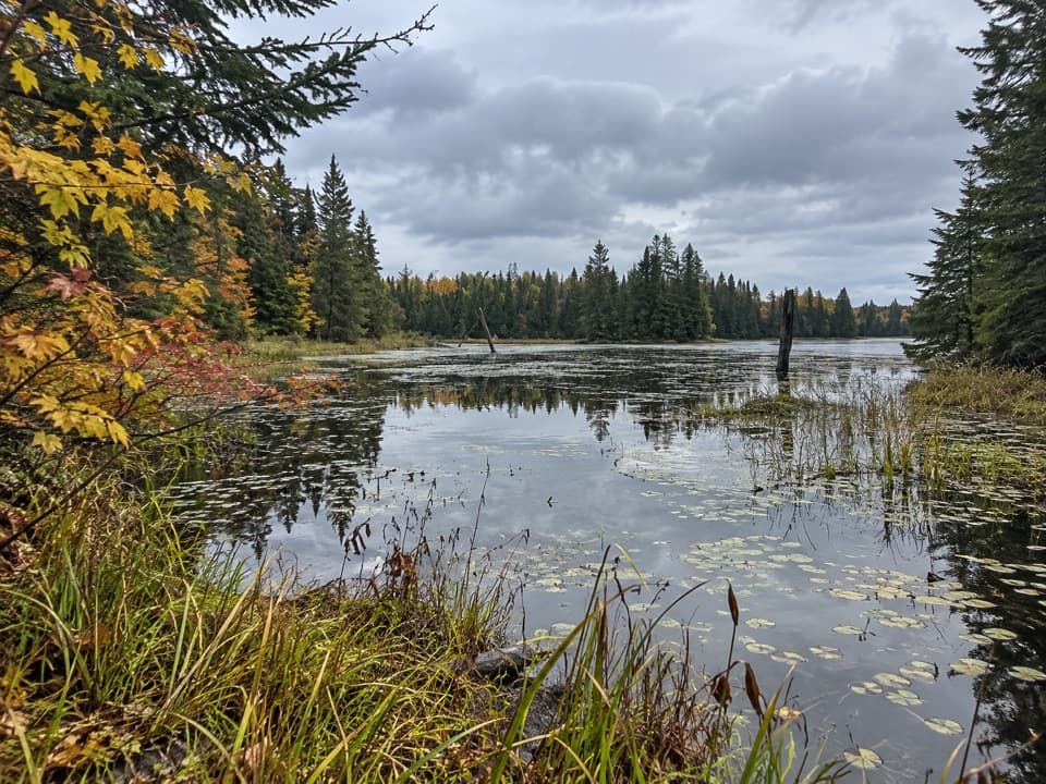
A backcountry picnic stop that opens up interior-lake paddling.

Type
Picnic area
Nearest trail
1.4 mi
  • Picnic tables
  • Restrooms
Parkwolf audio tour29 stories across Voyageurs’s roads

Overview

About Locator Lake Day-Use Area

Why stop

  • A staged canoe lets you continue onto interior lakes.

Heads up

  • Reaching it means a boat crossing and a strenuous four-mile hike.

Map

Where it is

Loading the Voyageurs map
Full map
Picnic areaLocator Lake Day-Use Area48.53941, -93.01357
Keep this map with you offline in the Parkwolf app

Plan your stop

Before you go

2 active Voyageurs alerts

  • ClosureDryweed Island-area sites closed for bear activitySeventeen campsites, houseboat sites, and a day-use site on Dryweed Island and nearby islands are closed through the end of October 2026 because of continued bear activity and unsafe bear-human…Official details
  • CautionNavigation markers and buoys absent on park lakesUse caution while boating on Rainy, Kabetogama, Namakan, and Sand Point Lakes because park hazard markers and secondary navigation aids have been removed, and most primary navigational buoys are also…Official details

Voyageurs alerts
A park ranger sits on a dash-mounted phone, talking, as Parkwolf’s Tour Guide plays “Army Cutworm Moths: A Grizzly Bear Buffet” on Grand Loop Road below Dunraven Pass in Yellowstone
Parkwolf Tour GuideThe highest, rockiest slopes around here are a summer buffet for grizzly bears.

Voyageurs Tour Guide

Your drive to Locator Lake Day-Use Area, narrated.

Parkwolf is a GPS audio tour guide for Voyageurs National Park. As you drive, it chimes in with what’s ahead: hidden gems, upcoming stops, history, geology, and wildlife, right through your car’s speakers.

More stories near here in the app

  • Woodenfrog’s Beach and Campground
  • The Name Behind Woodenfrog
  • The Living Patches on Rock
  • Echo Bay’s Wetland Walk
  • 29 audio storiesacross Voyageurs’s roads, triggered by GPS as you drive
  • Wildlife heatmapsfor Gray Wolf, Moose, Bald Eagle, and 13 more
  • Works offlinemaps, 19 trails, 49 places, and audio download before you lose signal
  • CarPlay readysimple controls built for the drive
★★★★★
“Fantastic app with many points of information… It’s great to just turn on while you’re driving and it gives you an audio tour of the national Park. We love it!!!!”
JMJamesApp Store review
Download Parkwolf on the App StoreGet Parkwolf on Google Play

4.7 from 8,600+ ratings

Guide

More about Locator Lake Day-Use Area

A backcountry canoe launchLocator Lake Day-Use Area is a lakeshore picnic stop at the end of the Locator Lake Trail,…

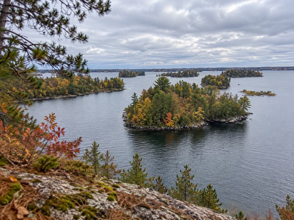
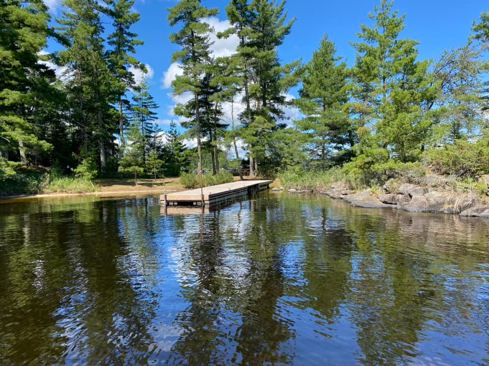
Locator Lake Day-Use Area is a lakeshore picnic stop at the end of the Locator Lake Trail, where staged canoes let you continue onto the park's interior lakes. Getting there is a serious outing: cross Kabetogama Lake by boat to the trailhead, then hike two miles each way on a strenuous trail over ridges, steep hills, rocks, roots, and stairs. Allow two to five hours for the four-mile round trip. This makes sense if you plan to paddle after the hike; it's a lot to arrange for a picnic alone.

Reserve the canoe firstBook a day-use canoe through the park's reservation system and keep the emailed lock code and…

Book a day-use canoe through the park's reservation system and keep the emailed lock code and access instructions with you. The canoes are locked at the far end of the trail, and you won't be able to use one without the code. Privately owned watercraft can't be portaged into the interior lakes, so plan the crossing to the trailhead separately using your own boat, a rental, or a water taxi. Pets aren't allowed on the backcountry trail.

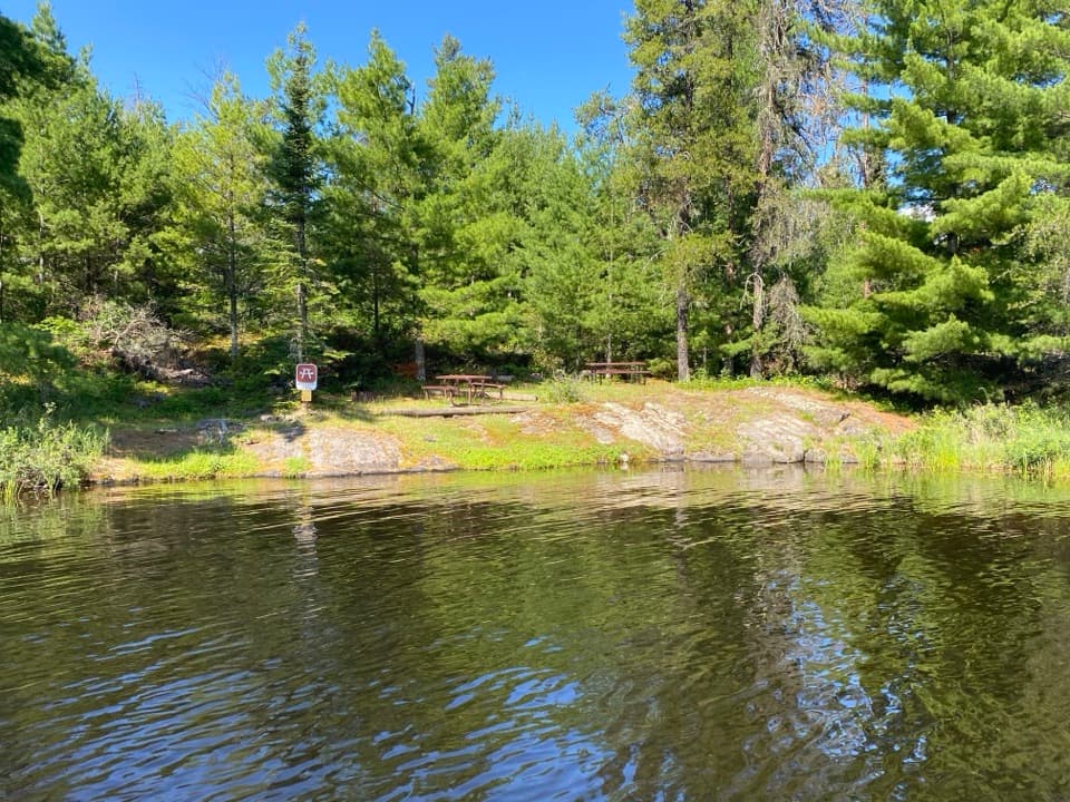
What to bringThere is a picnic table, fire ring, and outhouse for day users.

There is a picnic table, fire ring, and outhouse for day users. Bring your own food and drinking water. Spring access depends on lake ice-out; late ice can delay boat travel into May. The trail and shoreline are the whole experience here, so come ready for a remote day on foot and water.

Wildlife

Wildlife in Voyageurs

All Voyageurs wildlife maps

Sighting maps show where each species has been reported across Voyageurs. Wildlife moves, so no sighting is guaranteed.

Parkwolf’s Voyageurs ranking

Top sights in Voyageurs

All 49 places
  1. 1Ellsworth Rock GardensSight
  2. 2Grassy Bay CliffsSight
  3. 3Kettle Falls Dam OverlookSight
  4. 4Anderson BaySight
  5. 5Little American IslandSight
  6. 6I.W. Stevens ResortSight

Take Parkwolf to Voyageurs.

The audio tour guide for the drive, plus offline maps, trails, and wildlife heatmaps for when the signal drops.

4.7 from 8,600+ ratings

Download Parkwolf on the App StoreGet Parkwolf on Google Play