
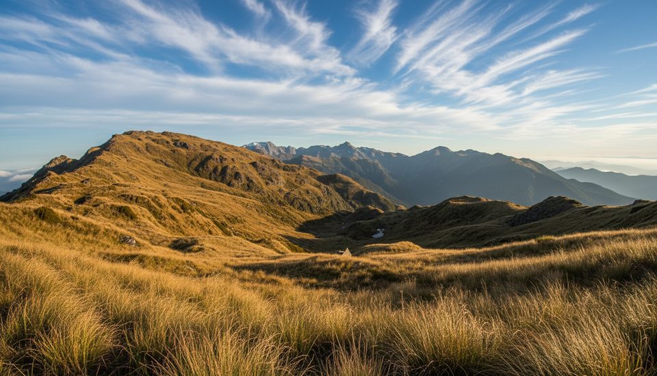
Place · 1 mi away
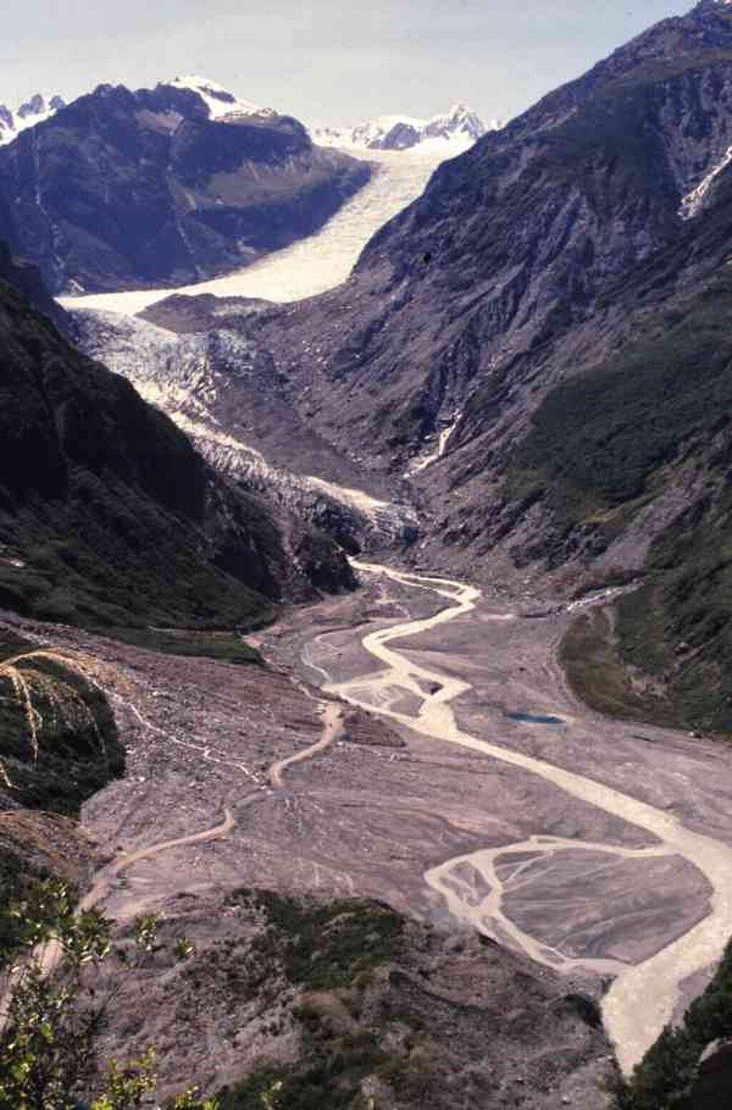
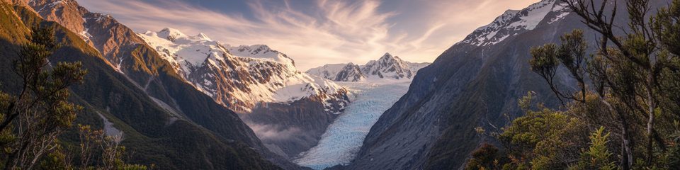
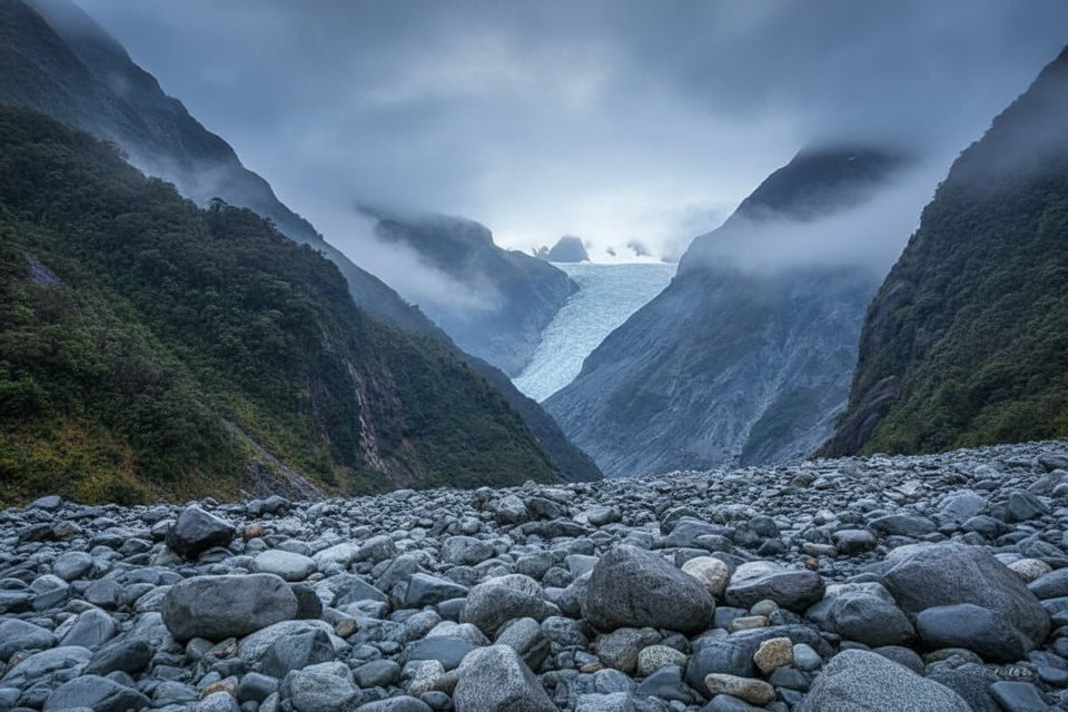
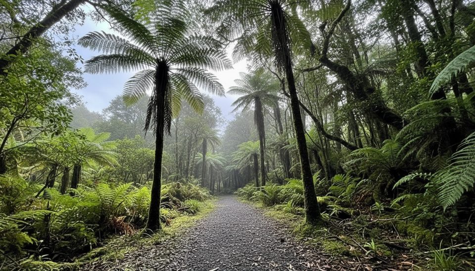
This upper viewpoint caps the Fox Glacier South Side Walkway/Cycleway—a gentle forest walk on the south bank of the Fox River. You’ll reach the first glacier view in about 40 minutes, then continue to an old car park (end of bike access). From there, it’s roughly 10 minutes downhill on foot to the closest sanctioned on-foot view of Fox Glacier / Te Moeka o Tuawe. It’s still a distant, across-valley look, but the scale of the valley and ice is impressive.
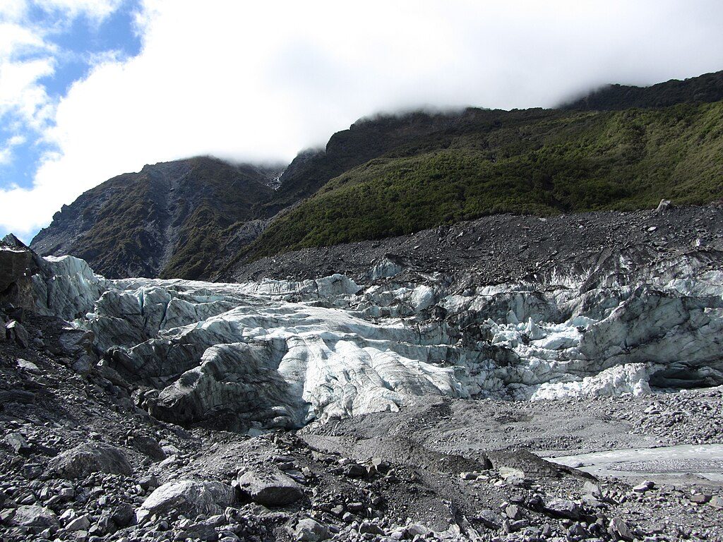
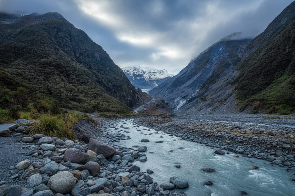
Expect layered scenes: lush podocarp rainforest, boulder-strewn moraines, the milky Fox River, and the tongue of the glacier tucked up-valley. The track crosses a sequence of ancient moraine surfaces, and the changing forest tells the story of past ice positions. On some days you’ll hear and see native birdlife in the canopy; occasionally there’s a warm spring near the early section of the track. Views are weather-dependent—cloud can hide the upper ice, then lift minutes later.
This valley is dynamic. Heavy rain, rockfall, or sudden river surges can force rapid closures. Obey DOC signs and barriers—do not go past the final viewpoint beside the river. Weather turns fast; bring warm layers and rain protection, sturdy footwear, insect repellent, and sunscreen. Drones require a DOC permit, and dogs aren’t permitted.
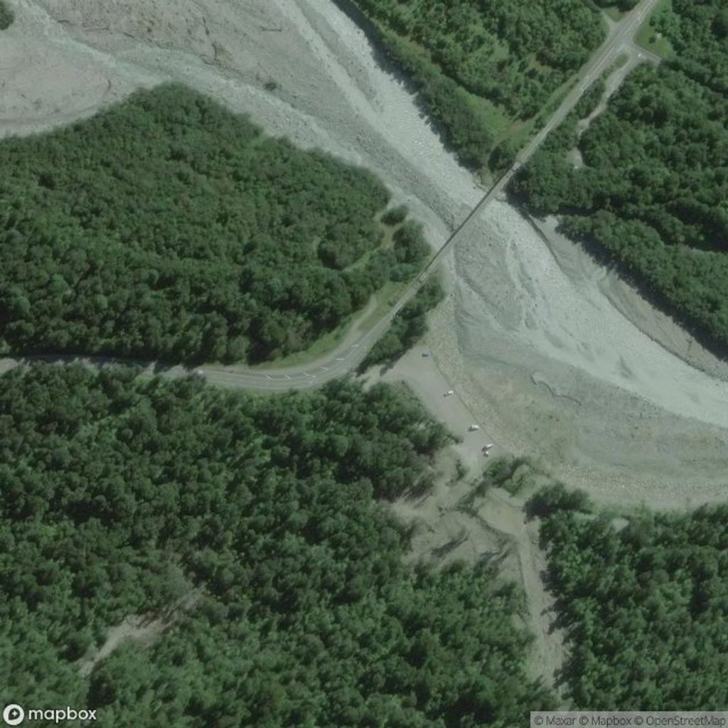
From Fox Glacier / Weheka township, drive about 2 km south and cross the Fox River bridge; the signed car park is just beyond on the left. There are no toilets or taps at the car park or on the track—use facilities in town before you go. A picnic table and bench are by the old car park along the route.
The glacier’s Māori name, Te Moeka o Tuawe—“the bed of Tuawe”—reflects its significance as the resting place of the ancestor Tuawe.
Clear mornings typically offer the steadiest views and softer side-light on the valley. Weekdays are a touch quieter. After heavy rain, expect closures or murky river conditions. For photos, bring a longer lens or binoculars to make the most of the distant ice.
Place · 1 mi away
Place · 1.1 mi away
Place · 2.3 mi away
Place · 2.4 mi away
Easy · 0 mi away
Easy · 0 mi away
Easy · 0 mi away
Challenging · 0.7 mi away

Parkwolf Tour Guide
