
Place · 0 mi away
Easy
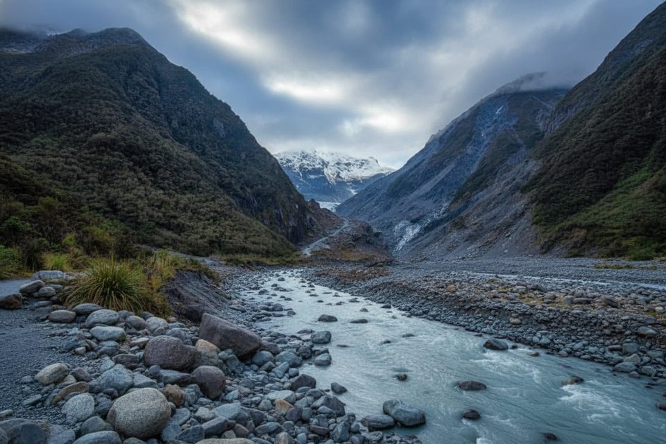
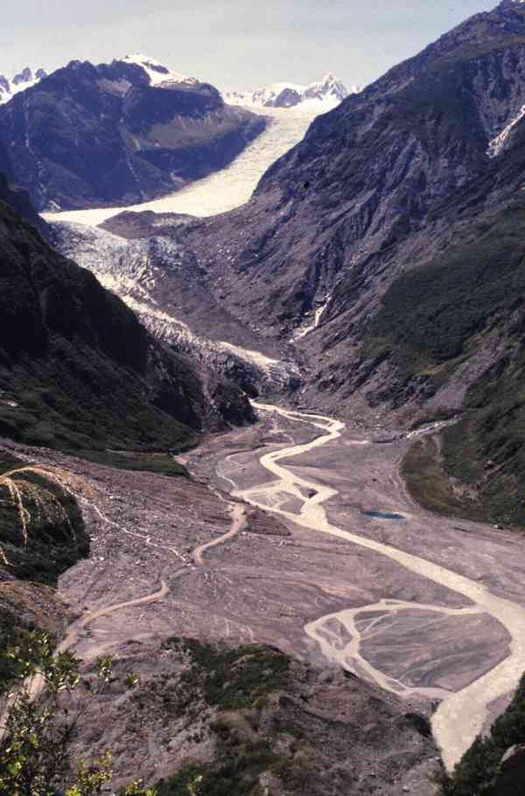
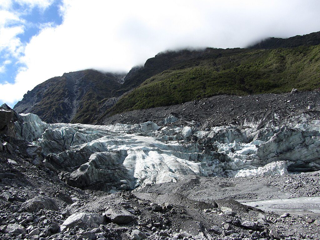
This is the easiest way to sample the Fox Glacier valley without a helicopter. The South Side Walkway follows the south bank of the Fox River through lush, ancient podocarp rainforest to signed glacier viewpoints. It’s a 6.4 km/4.0 mi return, out‑and‑back walk that takes about 2 hours on foot with gentle undulations (roughly ±100 m). Expect distant glacier views—the ice has retreated and the viewpoints sit hundreds of metres from the tongue—so come for the valley, waterfalls after rain, and the forest rather than a face‑to‑ice experience.
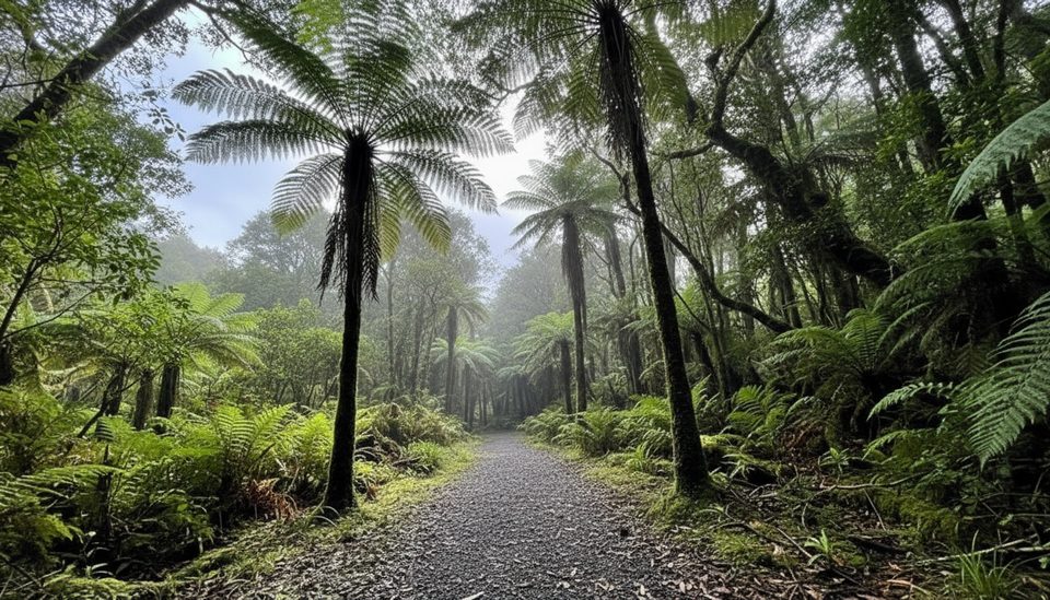
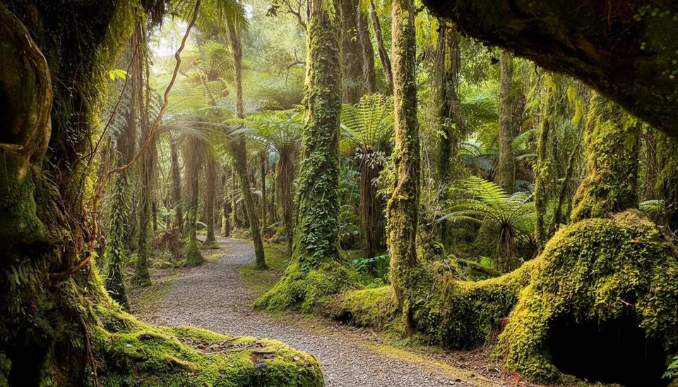
From the start the wide track weaves over old glacial moraines beneath rimu and rātā, with creeklets and mossy banks. After roughly 40 minutes you reach the first signed viewpoint; the track then continues to a final fenced lookout via a short climb. Do not go beyond barriers—the valley is active and hazardous. Cycling is allowed only to the first viewpoint; from there, continue on foot.
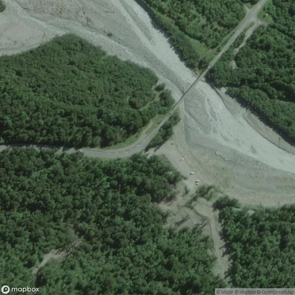
From Fox Glacier/Weheka township, drive about 2 km south on SH6, cross the Fox River bridge, and turn into the signed car park on the left. There are no toilets at the trailhead; use facilities back in town.
This valley changes fast. Rock and ice can collapse without warning; icefall‑triggered river surges and sudden flooding are real risks, especially after rain. Rockfall zones exist under steep walls—don’t linger there—and always stay behind fences and follow all signs. Sections of the track can close after heavy rain or rockfall; check current status before you go. Please don’t feed kea.
Pick a clear window for the best chance of seeing the glacier tongue; after rain, waterfalls streak the valley walls for extra drama. West Coast weather turns quickly—pack layers, waterproofs, and insect protection (sandflies love the river margins). A zoom lens helps with photos of the ice from the distant viewpoints.
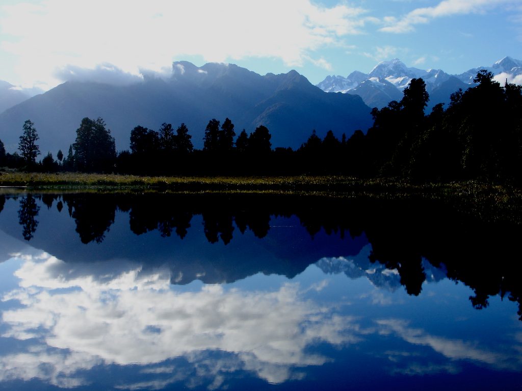
From the same start, the short Moraine Walk gives a 30‑minute primer on moraine‑grown rainforest. For a different perspective later in the day, Lake Matheson offers classic mirror reflections of Aoraki/Mount Cook and Mount Tasman, and Peak Viewpoint near the coast frames the neve and Southern Alps. Note: direct access to the ice is via guided helicopter trips; former road access deeper into the valley was closed after landslide and flood damage.
Signed car park about 2 km south of Fox Glacier/Weheka on SH6, just after crossing the Fox River bridge on the left.
Dynamic glacier valley with rock/icefall, sudden river surges, and fast‑rising floodwaters; obey all signs, stay behind barriers, and expect weather‑related closures.
Place · 0 mi away
Place · 1 mi away
Place · 1.1 mi away
Place · 2.3 mi away
Easy · 0 mi away
Challenging · 0.7 mi away
Easy · 0.9 mi away
Easy · 2.8 mi away

Parkwolf Tour Guide
