Parking
Driving south from Fox Glacier township, use the small parking area on the right at Thirsty Culvert, about 3 km south on SH6; the route starts across the road on the left.
#8 of 31 trails in Westland Tai Poutini
Westland Tai Poutini National Park, WC
A steep expert climb to glacier and coast views.
Overview
Map & elevation
Plan your hike

The highest, rockiest slopes around here are a summer buffet for grizzly bears.
Westland Tai Poutini Tour Guide
Parkwolf is a GPS audio tour guide for Westland Tai Poutini National Park. As you drive, it chimes in with what’s ahead: hidden gems, upcoming stops, history, geology, and wildlife, right through your car’s speakers.
See the Westland Tai Poutini audio tourRecorded for this trailhead
Mount Fox Route: a Full Mountain Day“You're nearing the Mount Fox Route trailhead, the start of a demanding mountain day. Allow eight hours return on a steep, rough route suited to experienced, well-equipped hikers.”
Plays as you drive up to this trailhead in the Parkwolf Westland Tai Poutini Tour Guide.
More stories near here in the app
“Fantastic app with many points of information… It’s great to just turn on while you’re driving and it gives you an audio tour of the national Park. We love it!!!!”


Trail guide
Mount Fox Route is an expert out-and-back from Thirsty Culvert to the 1,345 m high point and back. The full walk is 7.4 km (4.6 mi) return; DOC allows 8 hours. From a start around 150 m above sea level to the high point, you gain about 1,200 m on a rough, steep route. I’d set aside the full day and do it only if you’re comfortable with sustained climbing and finding markers in open country. The glacier and coast panorama is the reward, and it depends on getting above the bushline before cloud closes in.
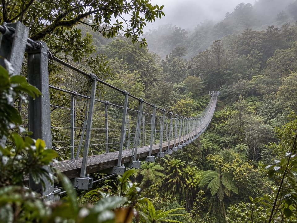
The route starts opposite the small parking area at Thirsty Culvert and climbs a spur through bush. It’s steep most of the way to the 1,021 m trig, and the track is rough underfoot. Expect roots, rocks and boggy patches, with a few places where hands help. Mud can make the same ground slippery on the way down, when tired legs are doing a lot of braking. The distance looks modest on a map; the height gain and rough footing make the day.
Reaching the trig leaves another 324 m of elevation to climb. The route continues across grassland on blue and orange markers to the 1,345 m high point. Keep following the markers rather than turning around at the trig if you have the weather, time and energy for the full route. The return uses the same steep line, so leave enough time for a careful descent.
Above the bushline, mist or cloud can hide the markers and make the route hard to pick out. This happens regularly, especially in summer afternoons, so start early and choose a clear weather window. The mapped line ends about 130 m before the 1,345 m point; the marked route carries on over the open grassland. Follow the blue and orange markers for that final stretch, and don’t guess your way ahead if cloud has closed over it.
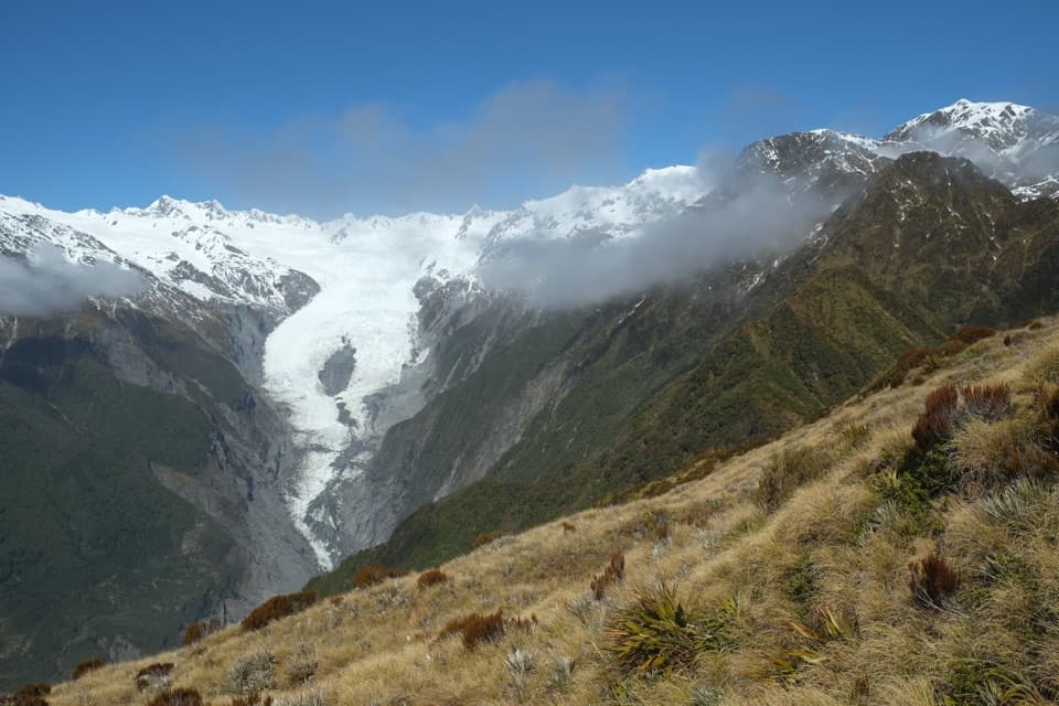
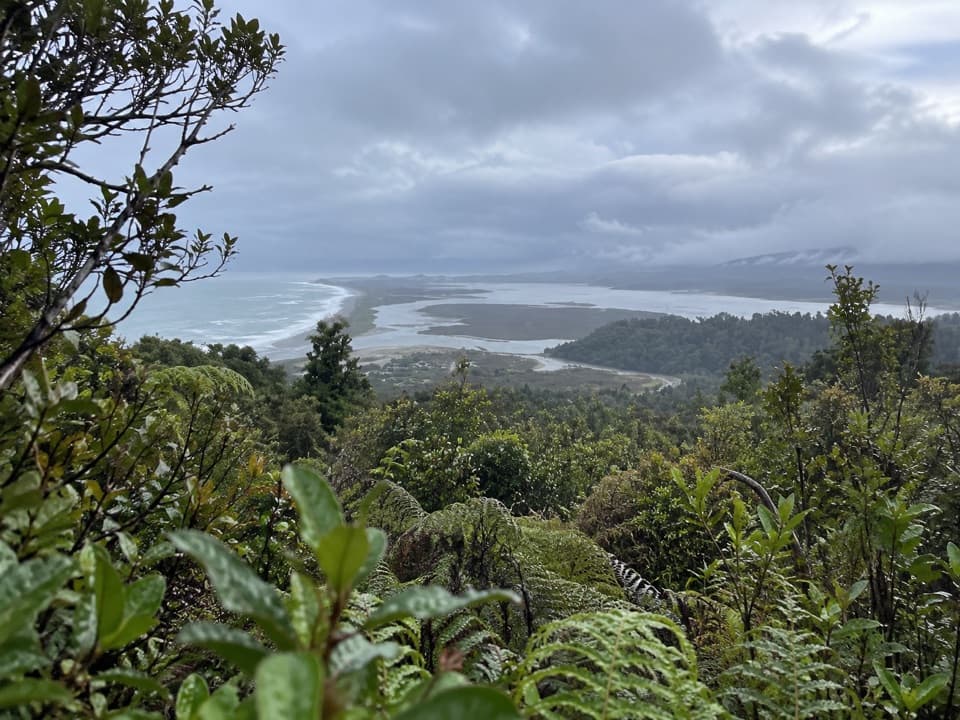
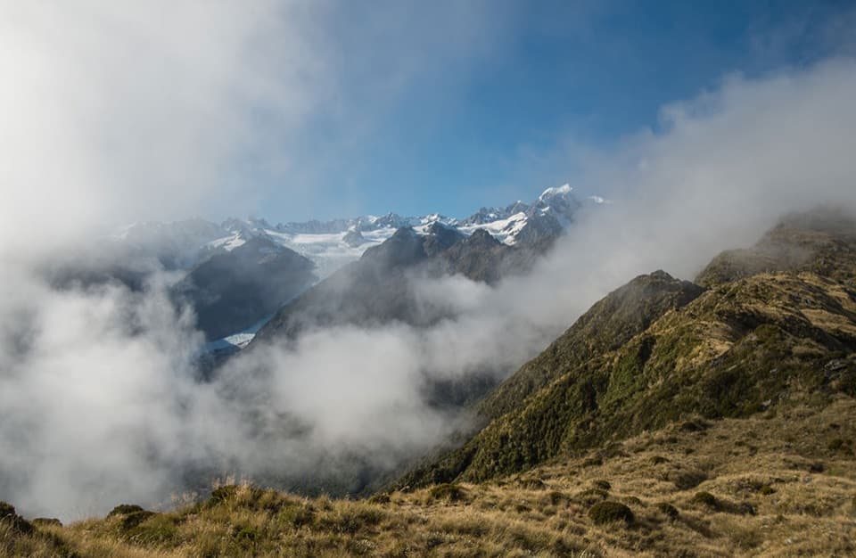
At the high point, the Southern Alps and Fox Glacier (Te Moeka o Tuawe) fill one side of the view. Turn around for coastal forest and farmland running out toward the coast. It’s a rare place to see both the glacier and the lowland coast from the same high point. If the view is clear, keep the tussock ridge in the foreground with the glacier and snowy peaks behind it. Cloud can hide the view, which is why the early start matters.
Thirsty Culvert is about 3 km south of Fox Glacier township on SH6. Driving south from town, the small parking area is on the right and the route starts across SH6 on the left. DOC advises carrying drinking water and warm, waterproof clothing because the weather changes quickly. Check track conditions with DOC before you go. Dogs are not allowed on the route.
Wildlife
 89 sightingsKeaMost seen around 10 AMSighting map
 10 sightingsBlue DuckMost seen around 5 PMSighting map
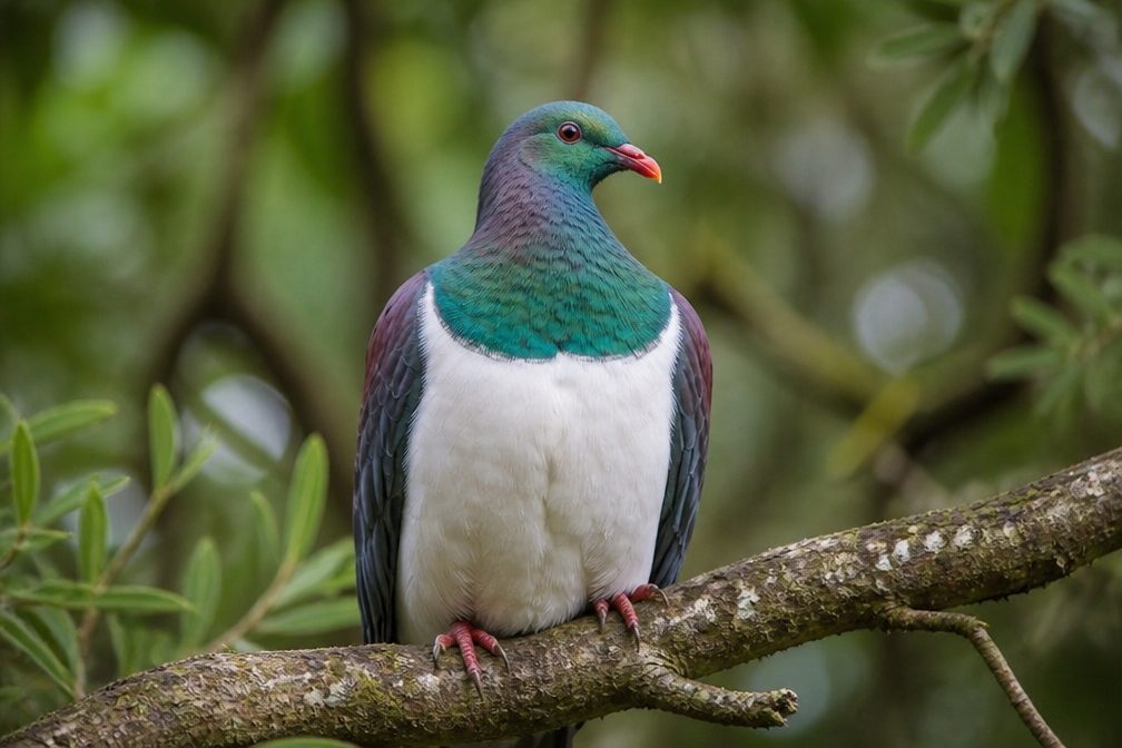 80 sightingsKererūMost seen around 7 AMSighting map
 38 sightingsTūīMost seen around 5 AMSighting map
 10 sightingsNew Zealand FalconMost seen around 10 AMSighting map
 28 sightingsYellow-crowned ParakeetMost seen around 8 AMSighting map
Sighting maps show where each species has been reported across Westland Tai Poutini. Wildlife moves, so no sighting is guaranteed.
Keep exploring
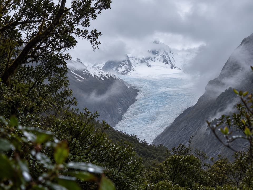 EasyFox Glacier South Side Walkway/Cycleway6.4 km · 2 hr · 1.1 km awayForest walking to a glacier view 2.6 km from the ice.
 EasyMoraine Walk4 km · 1.5 hr · 1.1 km awayA ferny loop across three ages of glacier moraine.
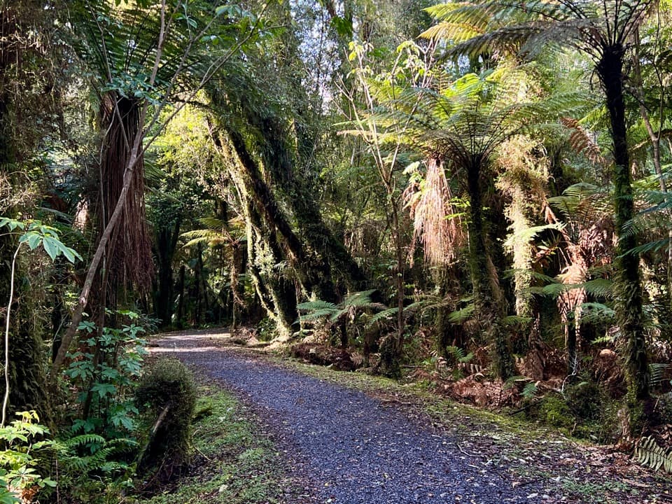 EasyTe Weheka Walkway/Cycleway5 km · 1.3 hr · 2.3 km awayA forest walk to an active landslide viewpoint in Fox Glacier Valley.
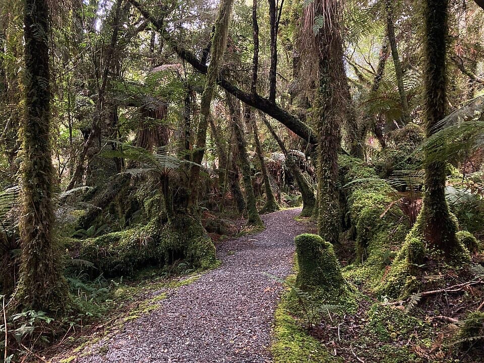 EasyMinnehaha Walk1.2 km · 20 min · 2.3 km awayA short rainforest loop with a chance of glowworms after dark.
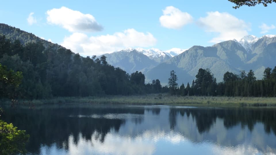 EasyLake Matheson/Te Ara Kairaumati Walk4.4 km · 1.5 hr · 4.1 km awayA rainforest circuit to a mirror lake below the Southern Alps.
 EasyLake Matheson Jetty Lookout Walk2.4 km · 45 min · 4.1 km awayA short rainforest walk to Lake Matheson's mountain reflections.
 ModerateLake Gault Track8 km · 3 hr · 4.1 km awayA steady forest climb ends at a glacial lake lookout.
 EasyMiners Cemetery Walking Track0.3 km · 5 min · 15.4 km awayA brief walk to the graves of early gold prospectors.
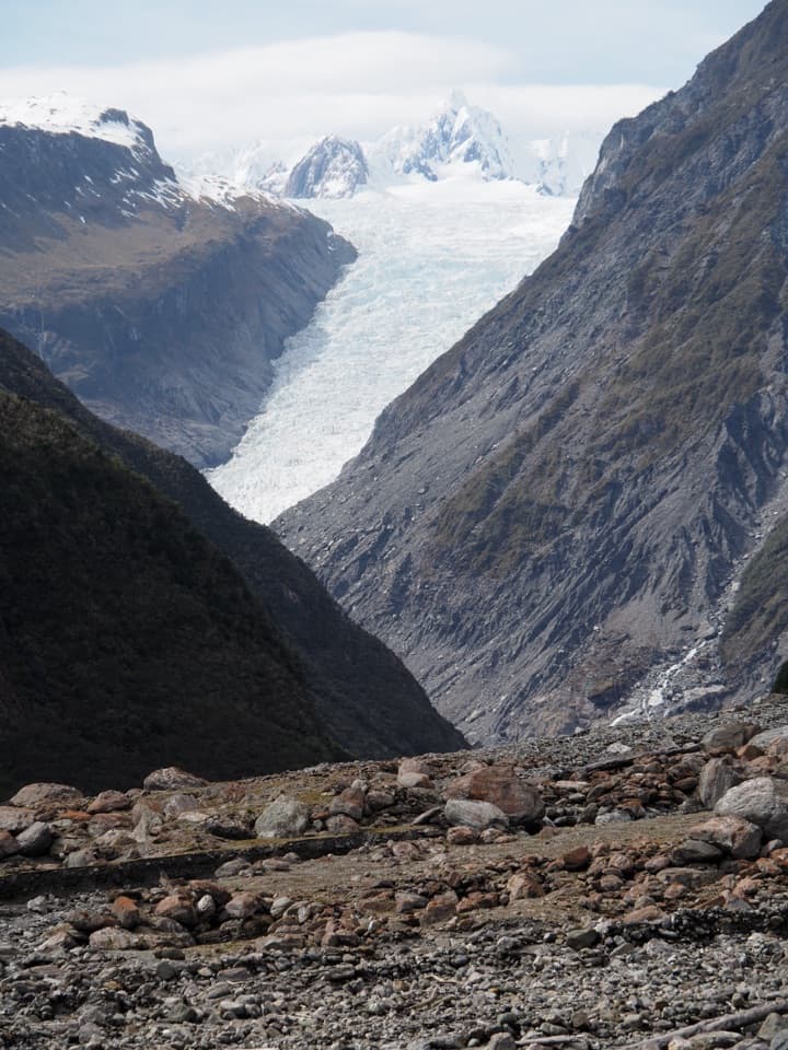 Sight · 3.1 km awayFox Glacier South Side ViewpointThe 6.4 km south-bank walk to Fox Glacier's final viewpoint.
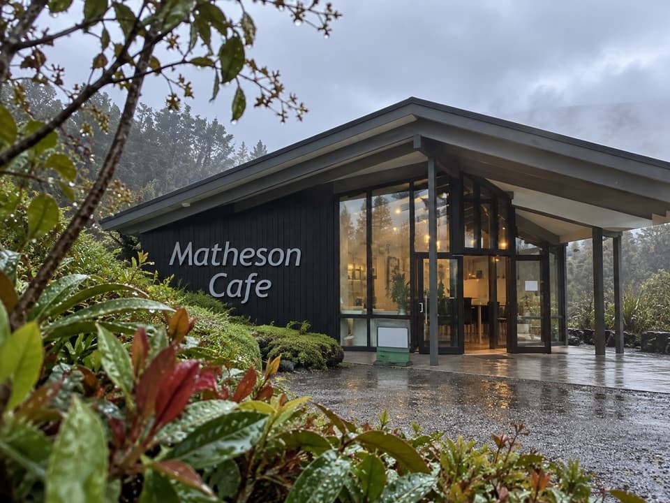 Restaurant · 4.2 km awayMatheson CaféBreakfast with Aoraki and Tasman in view.
 Sight · 5 km awayLake Matheson Jetty LookoutA short rainforest walk reaches the lake’s famous mountain mirror.
 Sight · 5.4 km awayReflection IslandFor the Alps doubled, aim for a still dawn.
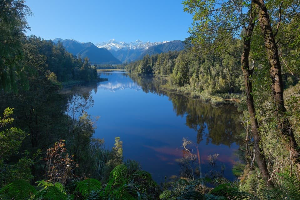 Sight · 5.6 km awayView of Views LookoutA high lookout frames Aoraki and Tasman beyond the lake.
 Sight · 5.8 km awayLake Gault LookoutA lakeside shelter with Southern Alps views, reached on foot.
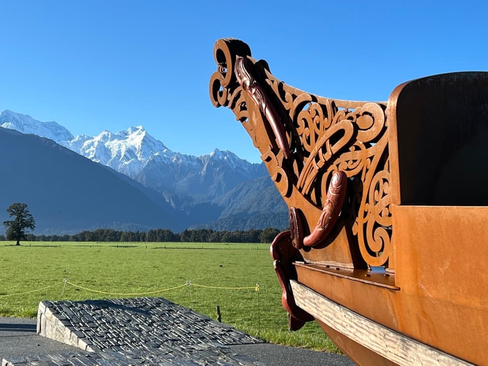 Sight · 7.1 km awayTe Kopikopiko o te WakaCarved waka and a glacier panorama share a striking creation story.
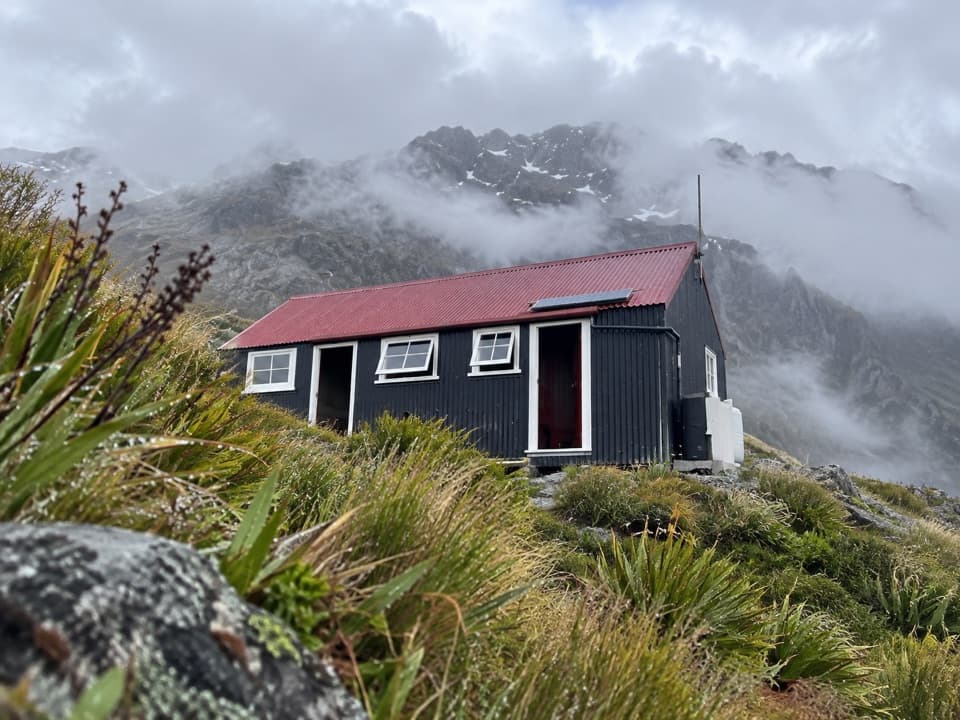 Lodging · 9.8 km awayChancellor HutA 12-bunk historic hut on a glacial shelf above Fox Glacier.
Parkwolf’s Westland Tai Poutini ranking

The audio tour guide for the drive, plus offline maps, trails, and wildlife heatmaps for when the signal drops.