
Place · 0 mi away
Easy
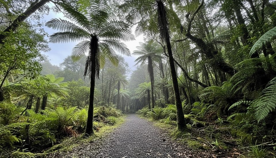
A mellow forest wander with a geology lesson baked in. The Moraine Walk ducks off the Fox Glacier South Side Walkway/Cycleway and meanders over old glacial debris ridges, letting you literally walk the timeline of the glacier’s advance and retreat.
It’s 4 km return (about 2.5 miles total) and typically takes around 1 hour 30 minutes at an easy pace. Expect a narrow singletrack with roots, old stone sections, and a couple of small stream splashes. Bikes aren’t allowed on the Moraine Walk itself—leave them at the junction—so it’s foot traffic only.
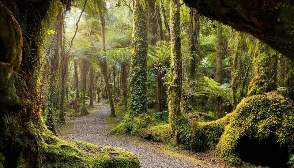
This is classic West Coast rainforest: deep green, moss-draped trees, boulders, and damp air that makes the place feel enchanted. You’ll cross clearly marked moraines from AD 1600 and AD 1750, plus older surfaces, with interpretive signs (including a “Glacier Terminal 1750” marker) that make the landscape click into focus.
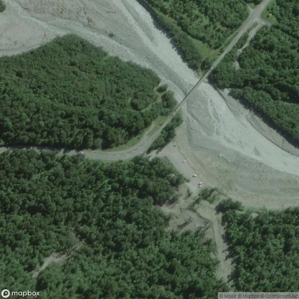
From Fox Glacier/Weheka, drive 2 km south, cross the Fox River bridge, and pull into the signed car park on the left (when heading south). Start on the Fox Glacier South Side Walkway/Cycleway; the Moraine Walk branches off and later rejoins so you can return the same way or via the main walkway.
There are no toilets at the trailhead; the nearest facilities are back in Fox Glacier township. Dogs aren’t permitted. Pack sturdy footwear and a warm, waterproof layer—this valley’s weather flips quickly and the track can be slick after rain. If you fly drones on conservation land here, you need prior authorization.
This is an alpine valley: heavy rain can flood streams and glacial rivers can surge without warning. Stick to marked tracks and heed all signage.
Good any time of day, and a strong pick on cloudy or drizzly days thanks to the canopy. Come after dark and you might be treated to glowworms along the track. If you want to go farther, continue up-valley on the South Side track to viewpoints before looping back.
2 km south of Fox Glacier/Weheka, cross the Fox River bridge and park in the signed car park on the left when heading south. Begin on the South Side Walkway/Cycleway.
Rapid weather shifts, glacial river surges, and heavy rain flooding are possible; track is narrow, rooty, and slippery when wet—stay on marked routes and obey signs.
Place · 0 mi away
Place · 1 mi away
Place · 1.1 mi away
Place · 2.3 mi away
Easy · 0 mi away
Easy · 0 mi away
Challenging · 0.7 mi away
Easy · 0.9 mi away

Parkwolf Tour Guide
