
Place · 0.3 mi away
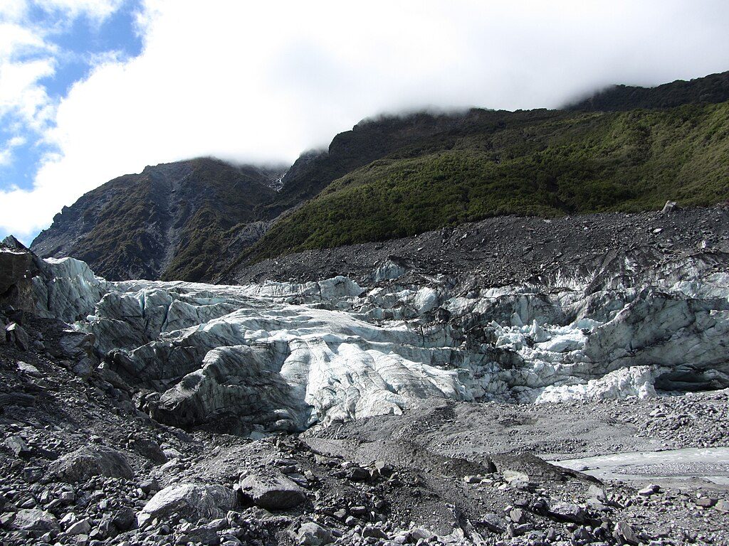
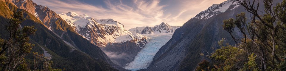
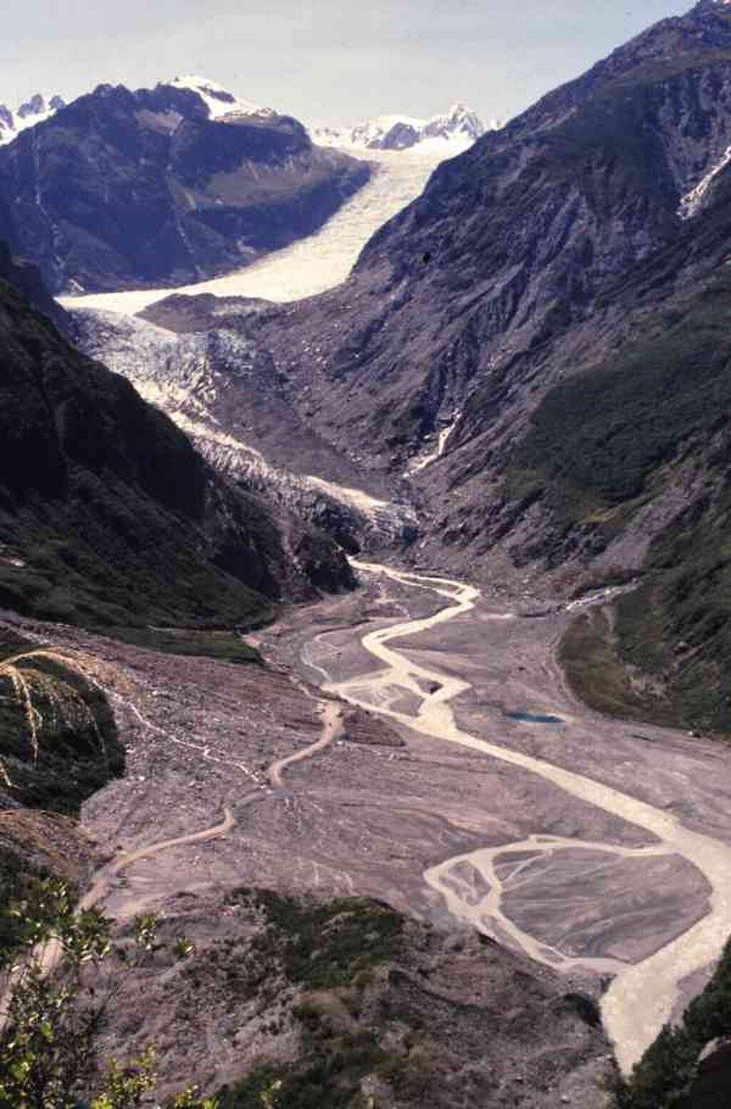
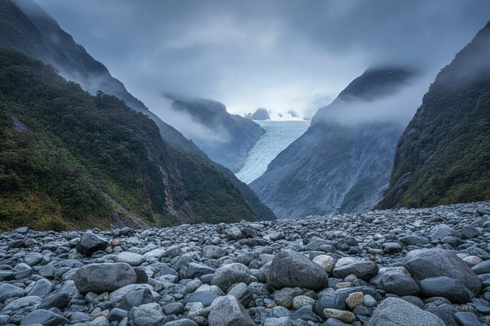
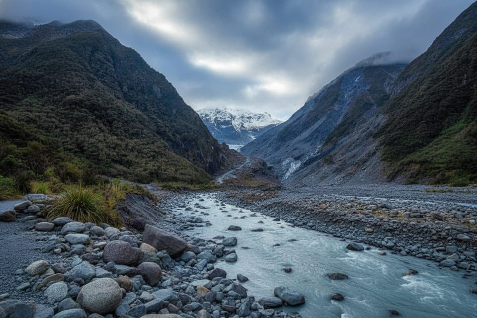
This is the glacier’s lower end, where Fox Glacier/Te Moeka o Tuawe drops out of the Southern Alps and meets lush West Coast rainforest in the Fox River valley. You don’t touch the ice here anymore, but the valley walk delivers satisfying, context‑rich views of the terminal zone, river, and moraine.
Expect broad, ground‑level viewpoints looking up‑valley to the snout, with the river and moraine mounds in front and rainforest cloaking the slopes. The glacier has retreated markedly since 2009, so the face sits well back; bring a bit of zoom for photos.
A massive 2019 landslide wiped out the former road and main car park deeper in the valley, so public walk‑in access stops at designated viewpoints and you’re kept well clear of the ice. If you want to set foot on the glacier, book a licensed helicopter‑access trip; that’s the norm now.
Terminal zones are hazardous: ice cliffs can collapse without warning, and rockfall, flooding, and river surges happen. Heed barriers and closures. West Coast weather turns fast—pack a waterproof/warm layer and insect repellent, and check Department of Conservation advisories before you go.
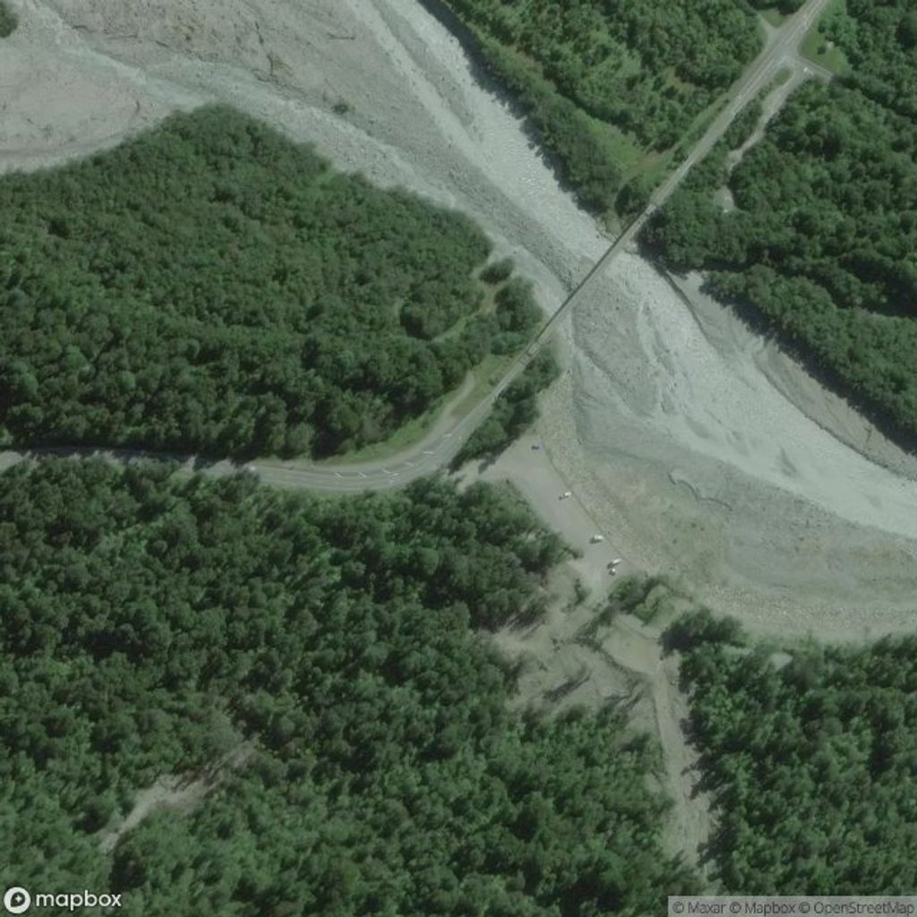
The South Side valley track is an easy, family‑friendly outing with three signed lookouts, typically 1.5–2 hours return. Main public parking is just south of Fox Glacier village near the Fox River bridge. An older car park farther up is closed to vehicles; you can reach it on foot/bike. On‑trail amenities are minimal; there’s a picnic area and a toilet at the old car park that has been reported closed at times—plan to be self‑sufficient.
Go early or on clearer mornings for your best chance of seeing the face before cloud builds. Late light can be lovely when it’s clear. The track is open all day, but daylight hours are friendliest for scenery and photos. Mid‑morning can feel busier in fine weather.
Fox Glacier advanced from 1985 to 2009, then entered a strong retreat, which is why the viewpoints now sit far from the ice. Its Māori name, Te Moeka o Tuawe (“the bed of Tuawe”), recalls a local legend tied to these valleys.
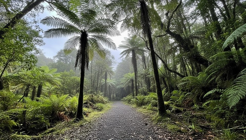
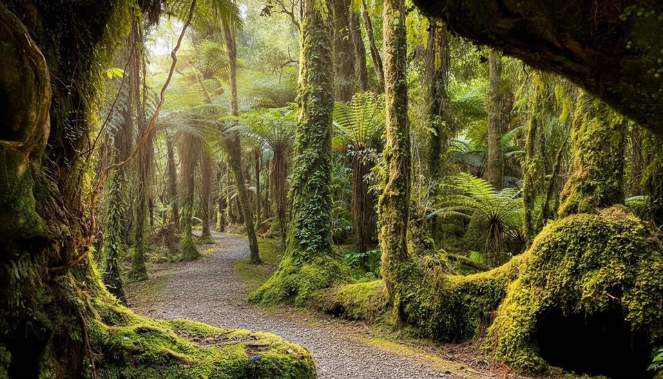
Around the viewpoints you’re in lowland rainforest—watch and listen for typical Westland forest and river birds along the track. The glacier surface itself is largely lifeless.
Place · 0.3 mi away
Place · 2.3 mi away
Place · 2.5 mi away
Place · 3 mi away
Easy · 2.3 mi away
Easy · 2.3 mi away
Easy · 2.3 mi away
Easy · 2.5 mi away

Parkwolf Tour Guide
