
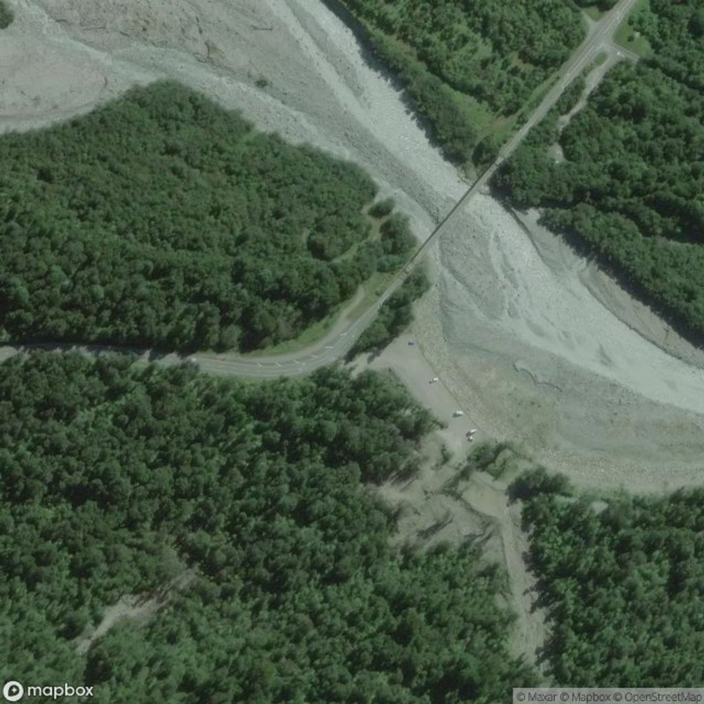
Place · 1 mi away
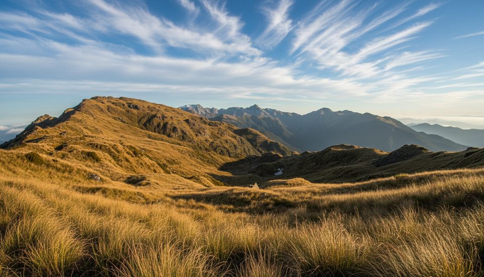
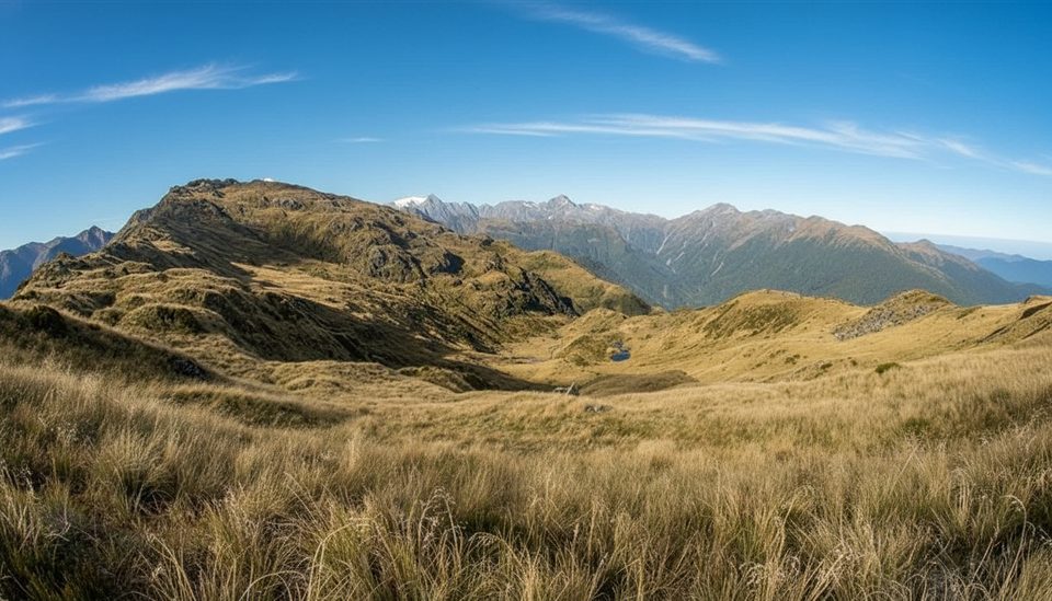
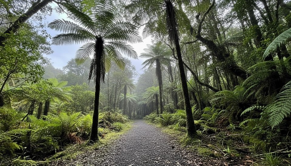
Mount Fox Summit is the hard-earned viewpoint locals whisper about: a brutally steep, hands-on route that rockets from rainforest to alpine ridge, then opens to sweeping views of Kā Tiritiri o te Moana (Southern Alps), Te Moeka o Tuawe (Fox Glacier), and the Tasman coast. It’s a marked “route,” not a manicured track—best for experienced, well‑equipped trampers who like their climbs direct and their rewards panoramic.
Expect about 7.4 km return and roughly 8 hours on the move. The ascent is sustained and often scrambly, with roots, mud, and near‑vertical pinches through dense bush to a trig around 1021 m, then along a ridge marked with blue/orange markers toward about 1345 m. Above the bushline, the terrain opens—but so does the weather, and mist can erase the markers in a blink.
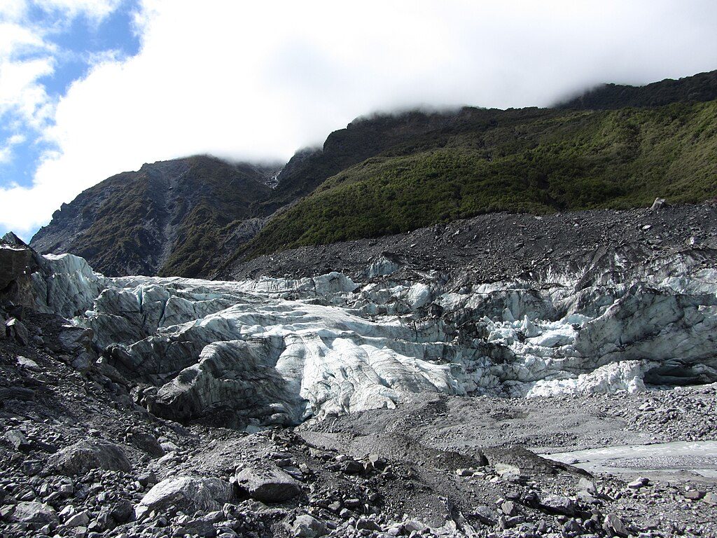
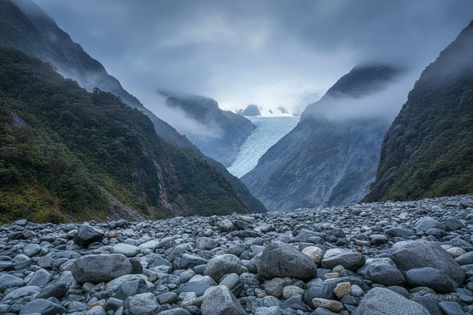
On a clear day, the summit dishes up front‑row views of Fox Glacier draped off the Alps, plus a grand sweep of coastal forest and farmland running to the sea. It’s the classic West Coast juxtaposition—ice and ocean in one glance—if the cloud stays away.
There are no facilities on the route or at the summit—no toilets, huts, or treated water. Carry everything. The route can be rough underfoot and slippery after rain, and navigation becomes serious above the bushline in mist or low cloud. Check track status and the forecast with the local DOC Visitor Centre before committing. Dogs are not permitted.
The route starts about 3 km south of Fox Glacier/Weheka at “Thirsty Culvert.” There’s a small roadside parking area on the right (driving south); the route begins across the road on the left. Space is limited and there are no facilities at the trailhead.
January–March tends to offer the best odds of stable weather, but cloud often builds by late morning in summer. Start early for clearer views and cooler climbing. Any time of year, be ready for rapid changes—carry warm, waterproof layers, sun protection, insect repellent, and plenty of water.
Place · 1 mi away
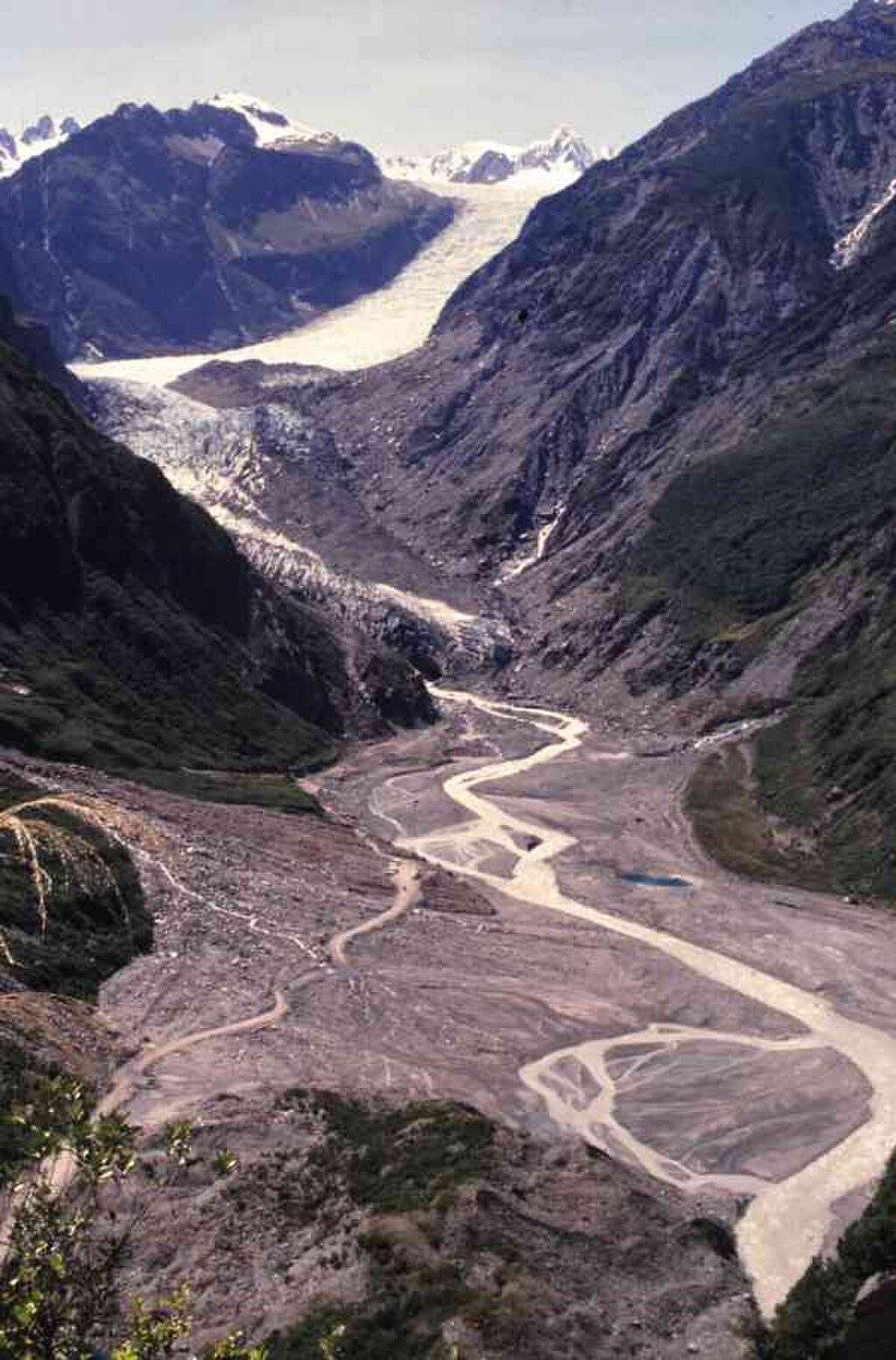
Place · 2 mi away
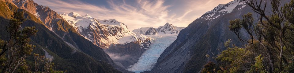
Place · 2.5 mi away
Place · 2.5 mi away
Challenging · 0.7 mi away
Easy · 1 mi away
Easy · 1 mi away
Easy · 1 mi away

Parkwolf Tour Guide
