Parking
From Fox Glacier Weheka, drive about 2 km south on SH6, cross Fox River Bridge and park on the left. Toilets are in the township.
#6 of 31 trails in Westland Tai Poutini
Westland Tai Poutini National Park, WC
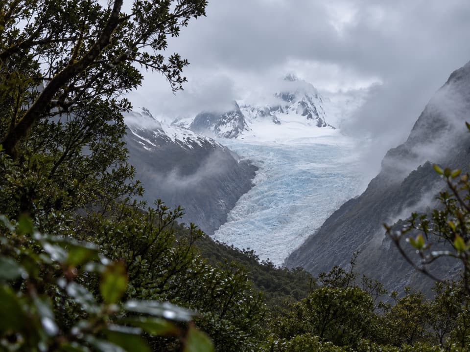
Forest walking to a glacier view 2.6 km from the ice.
Overview
Map & elevation
Plan your hike

The highest, rockiest slopes around here are a summer buffet for grizzly bears.
Westland Tai Poutini Tour Guide
Parkwolf is a GPS audio tour guide for Westland Tai Poutini National Park. As you drive, it chimes in with what’s ahead: hidden gems, upcoming stops, history, geology, and wildlife, right through your car’s speakers.
See the Westland Tai Poutini audio tourRecorded for this trailhead
Fox Glacier South Side: Forest and a Distant View“You're nearing the start of the Fox Glacier South Side walk, a two-hour return outing through rainforest to a distant glacier view.”
Plays as you drive up to this trailhead in the Parkwolf Westland Tai Poutini Tour Guide.
More stories near here in the app
“Fantastic app with many points of information… It’s great to just turn on while you’re driving and it gives you an audio tour of the national Park. We love it!!!!”


Trail guide
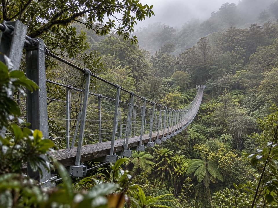
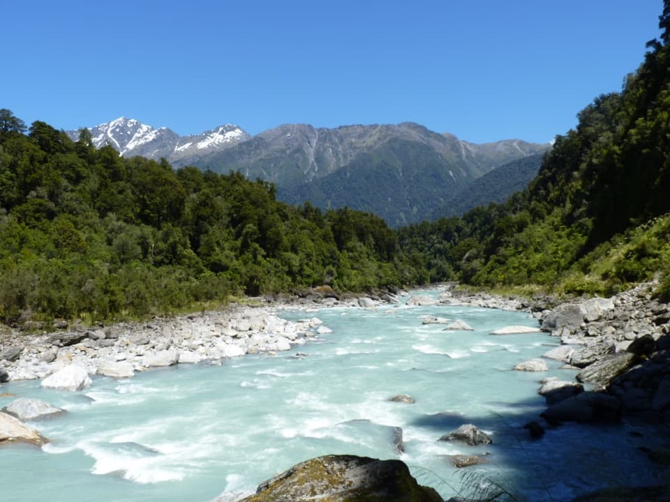
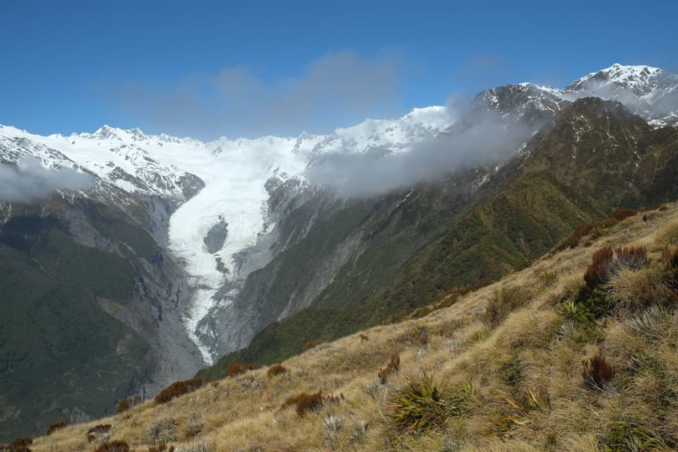
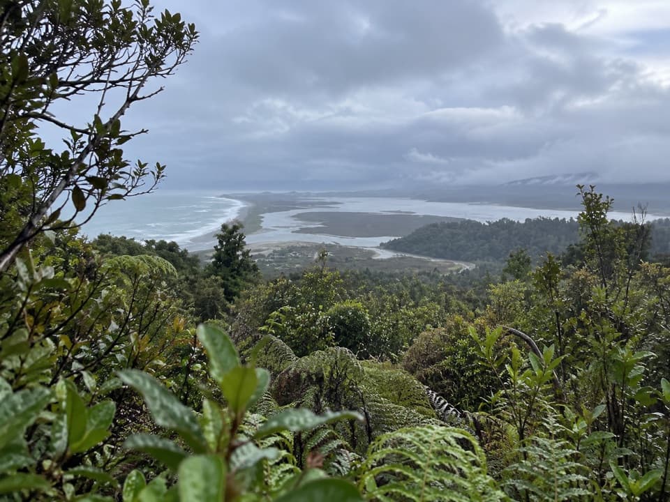
The Fox Glacier South Side Walkway/Cycleway is a 6.4 km out-and-back from the south-side car park on State Highway 6 to the final signed glacier viewpoint and back. Allow about two hours for the full walk. It follows the south bank of Fox River through rainforest and over old glacial moraine, ending with a view of Fox Glacier Te Moeka o Tuawe. This is a pleasant way to spend a couple of hours in the valley, but it does not take you close to the ice: the final viewpoint is still 2.6 km from the glacier’s terminal face. The track is easy to intermediate, with a gentle climb rather than a sustained steep ascent.
The route starts on the former south-side vehicle road, now used for walking and cycling. Expect a broad gravel surface through dense podocarp forest, with the river valley opening out in places. The first glacier viewpoint comes after about 40 minutes. It makes a sensible turnaround if you want a shorter outing; the two-hour estimate is for continuing to the end and walking back.
If you continue, the track reaches an old car park that marks the cycling limit. Leave bikes there and finish on foot. From this point the path drops gently through rainforest for about ten minutes to the final viewpoint. Return along the same corridor. Keep the marked end as your turnaround: the route does not continue safely toward the glacier face.
The walk’s forest is part of the story. The path crosses glacial moraine surfaces of different ages, and the forest reflects how those deposits have been colonised over time. Look for the marked warm spring beside the track and a large miro tree among the ferns and mossy trunks. Those small landmarks break up the forest walk before the distant glacier view.
At the last viewpoint, frame the glacier between the valley walls; the surrounding rock and forest help show the scale of the landscape. The ice itself can look small from here because it is 2.6 km away. Te Moeka o Tuawe carries Māori significance: moeka means a final resting place, and Tuawe is an ancestor associated with the glacier.
From Fox Glacier Weheka, drive about 2 km south on SH6, cross Fox River Bridge and use the car park on the left. The nearest listed toilets are in the township. Dogs are not allowed. This is an alpine river valley: rockfall, rapidly changing weather, river surges and sudden flooding are real hazards. Do not cross barriers or pass the final viewpoint, and check the current glacier access update before setting out because the track can close after rockfall or flooding.
Wildlife
 89 sightingsKeaMost seen around 10 AMSighting map
 10 sightingsBlue DuckMost seen around 5 PMSighting map
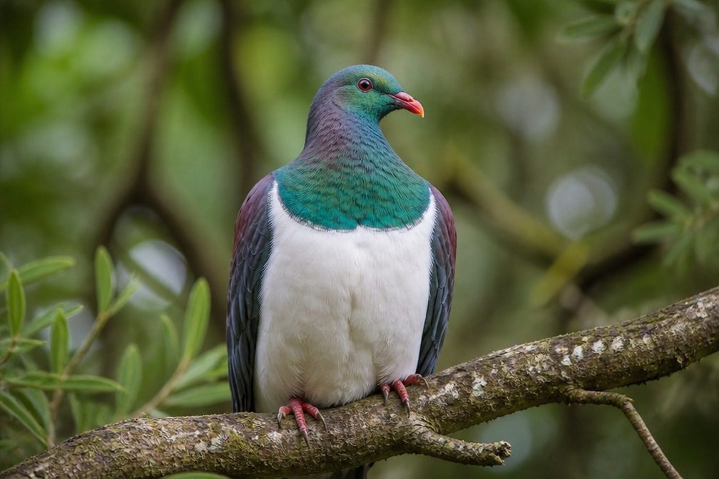 80 sightingsKererūMost seen around 7 AMSighting map
 38 sightingsTūīMost seen around 5 AMSighting map
 10 sightingsNew Zealand FalconMost seen around 10 AMSighting map
 28 sightingsYellow-crowned ParakeetMost seen around 8 AMSighting map
Sighting maps show where each species has been reported across Westland Tai Poutini. Wildlife moves, so no sighting is guaranteed.
Keep exploring
 EasyMoraine Walk4 km · 1.5 hr · At the trailheadA ferny loop across three ages of glacier moraine.
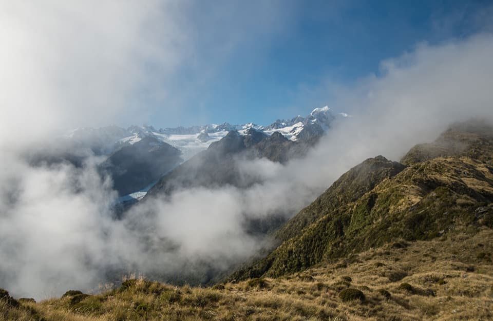 ChallengingMount Fox Route7.4 km · 8 hr · 1.1 km awayA steep expert climb to glacier and coast views.
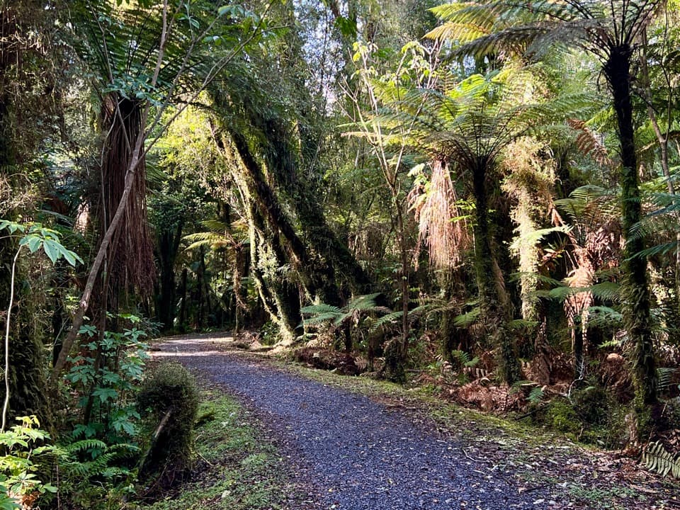 EasyTe Weheka Walkway/Cycleway5 km · 1.3 hr · 1.5 km awayA forest walk to an active landslide viewpoint in Fox Glacier Valley.
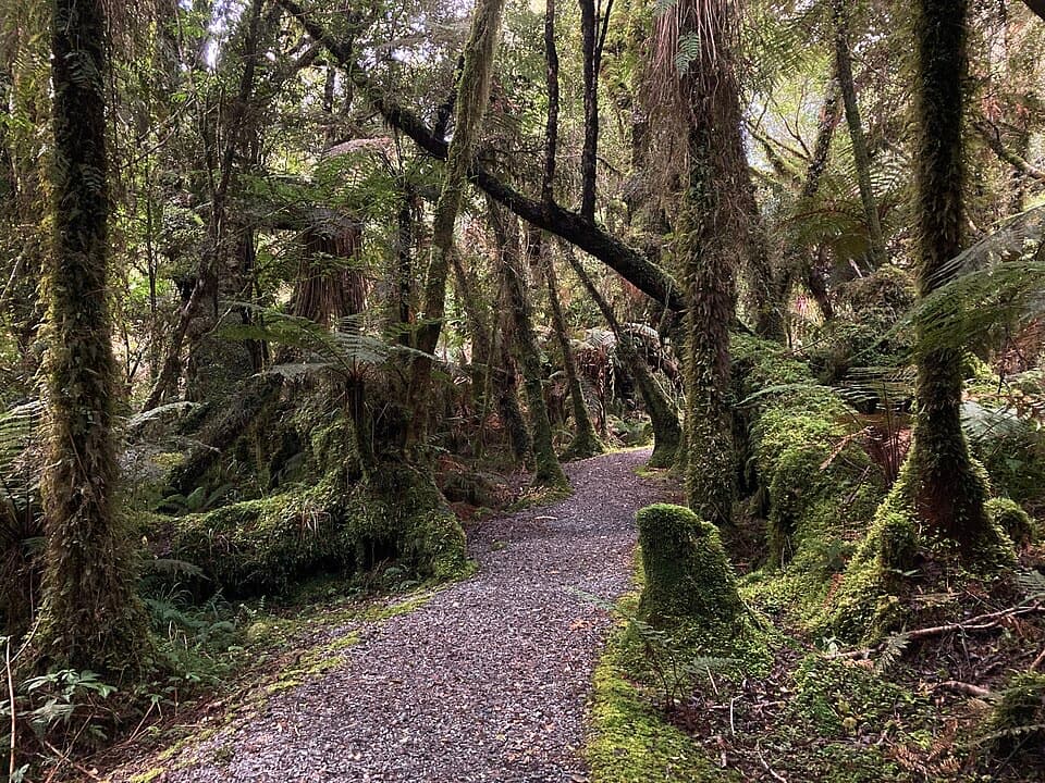 EasyMinnehaha Walk1.2 km · 20 min · 1.5 km awayA short rainforest loop with a chance of glowworms after dark.
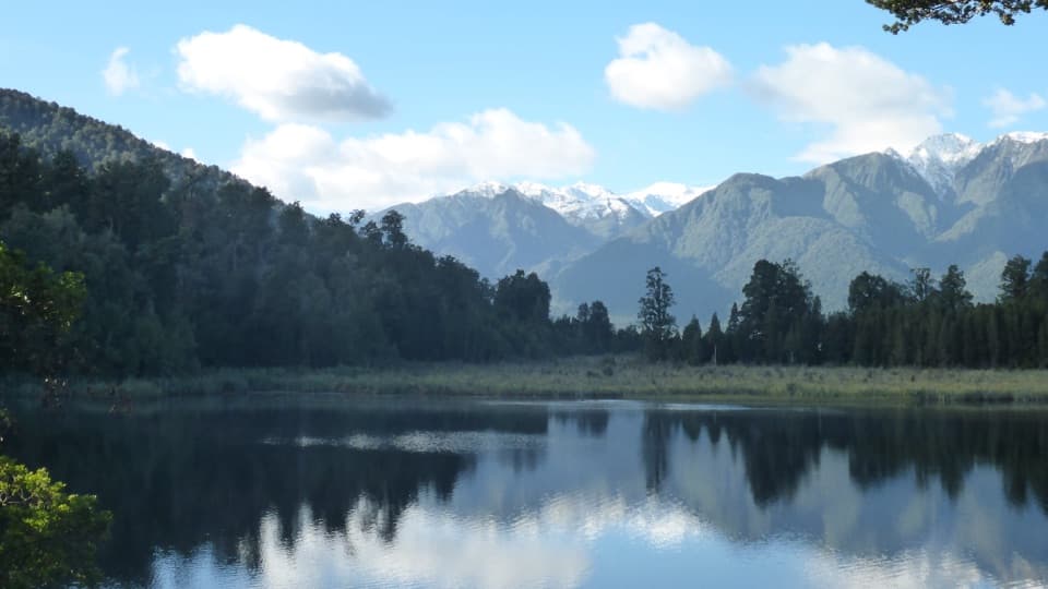 EasyLake Matheson/Te Ara Kairaumati Walk4.4 km · 1.5 hr · 4.5 km awayA rainforest circuit to a mirror lake below the Southern Alps.
 EasyLake Matheson Jetty Lookout Walk2.4 km · 45 min · 4.5 km awayA short rainforest walk to Lake Matheson's mountain reflections.
 ModerateLake Gault Track8 km · 3 hr · 4.6 km awayA steady forest climb ends at a glacial lake lookout.
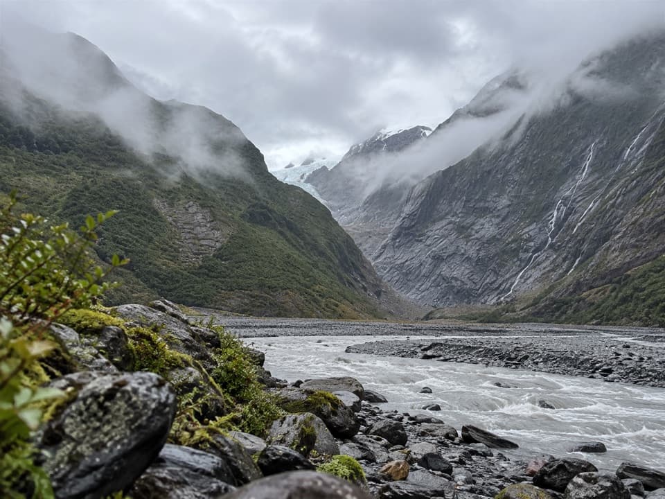 EasyFranz Josef Glacier/Kā Roimata o Hine Hukatere Walk1.7 km · 30 min · 14.5 km awayA short forest walk to a valley shaped by retreating ice.
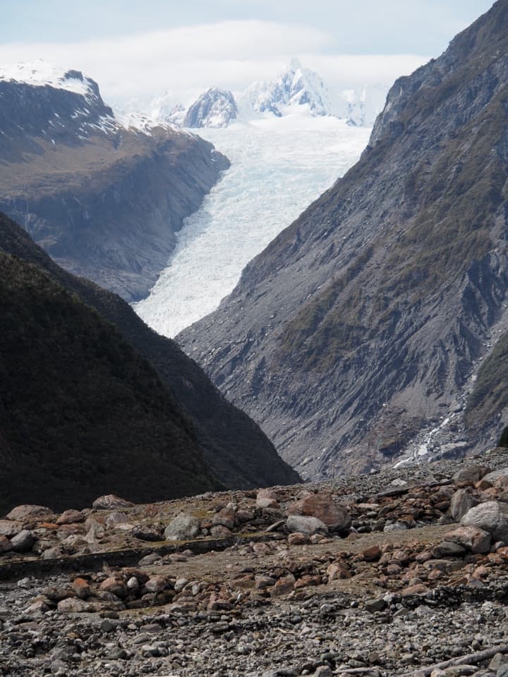 Sight · 2.3 km awayFox Glacier South Side ViewpointThe 6.4 km south-bank walk to Fox Glacier's final viewpoint.
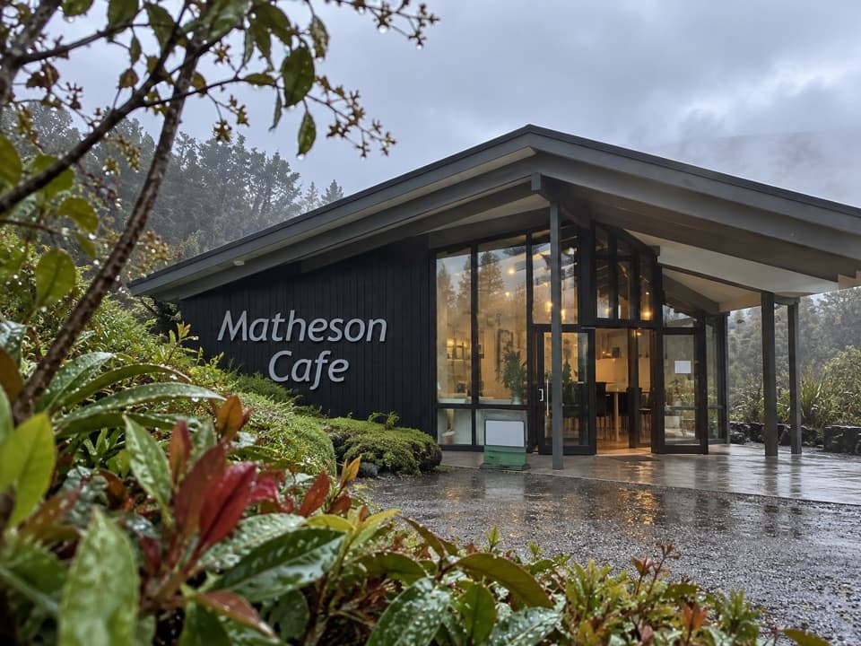 Restaurant · 4.6 km awayMatheson CaféBreakfast with Aoraki and Tasman in view.
 Sight · 5.5 km awayLake Matheson Jetty LookoutA short rainforest walk reaches the lake’s famous mountain mirror.
 Sight · 5.8 km awayReflection IslandFor the Alps doubled, aim for a still dawn.
 Sight · 6 km awayLake Gault LookoutA lakeside shelter with Southern Alps views, reached on foot.
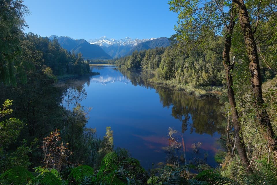 Sight · 6 km awayView of Views LookoutA high lookout frames Aoraki and Tasman beyond the lake.
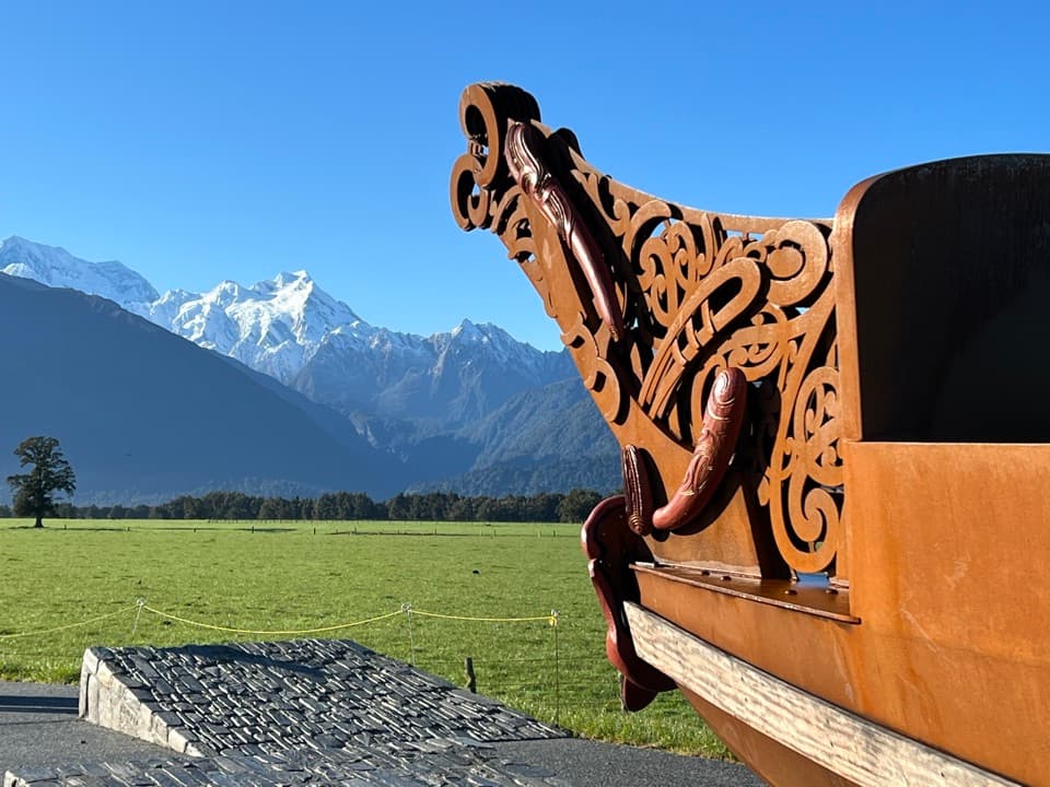 Sight · 8 km awayTe Kopikopiko o te WakaCarved waka and a glacier panorama share a striking creation story.
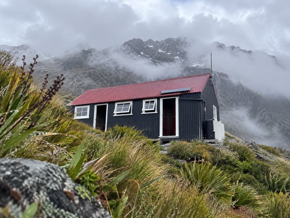 Lodging · 8.9 km awayChancellor HutA 12-bunk historic hut on a glacial shelf above Fox Glacier.
Parkwolf’s Westland Tai Poutini ranking

The audio tour guide for the drive, plus offline maps, trails, and wildlife heatmaps for when the signal drops.