Parking
Drive Dunes Drive to its end and park at the Alkali Flat Trailhead. The vault toilet is by the lot; fill water at the visitor center before driving out.
#1 of 5 trails in White Sands
White Sands National Park, NM
Five sandy miles through gypsum dunes to an ancient lakebed edge.
Overview
Map & elevation
Plan your hike

The highest, rockiest slopes around here are a summer buffet for grizzly bears.
White Sands Tour Guide
Parkwolf is a GPS audio tour guide for White Sands National Park. As you drive, it chimes in with what’s ahead: hidden gems, upcoming stops, history, geology, and wildlife, right through your car’s speakers.
Recorded for this trailhead
Alkali Flat: Tall Dunes and Sledding“Alkali Flat's sledding area and trailhead are coming up, with some of the tallest dunes you can reach from the road. Stop here if you want to climb a dune for the wide mountain view or try your sled on a bigger slope.”
Plays as you drive up to this trailhead in the Parkwolf White Sands Tour Guide.
More stories near here in the app
“Fantastic app with many points of information… It’s great to just turn on while you’re driving and it gives you an audio tour of the national Park. We love it!!!!”


Trail guide
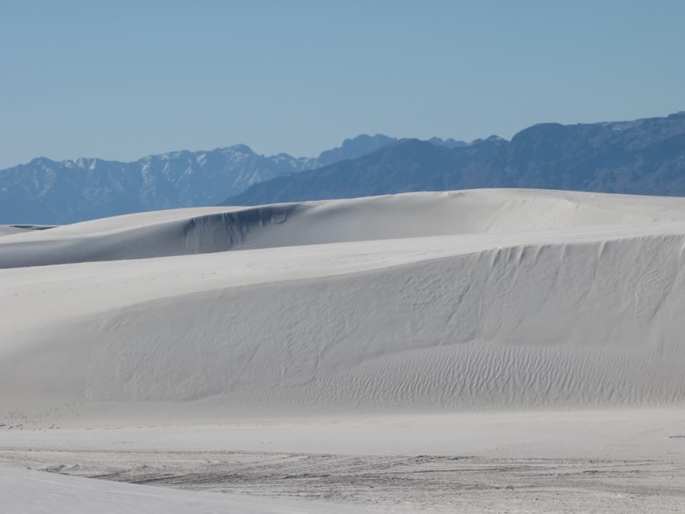
Alkali Flat Trail is a strenuous 5-mile out-and-back from the end of Dunes Drive to the edge of Alkali Flat, then back the same way. Choose it when you want to get inside the White Sands dunefield rather than just look across it from the road. Allow about 3–4 hours: the soft gypsum sand and repeated climbs make five miles feel longer than a firm trail. Despite the name, this is not a flat stroll. It is a foot-travel-only route, and you don’t have to reach the lakebed to enjoy the dunes; the park notes that a shorter walk can still be worthwhile.
There is no built tread to follow across the dunes; red diamond markers carry the route. Keep looking for the next marker before you climb or drop over another ridge. If blowing sand or a downed post hides it, turn around for the trailhead. Footprints can disappear or lead away from the marked route, and spring winds can cut visibility to only a few feet. The current marked route goes 2.5 miles to Alkali Flat and returns the same way. Older route descriptions show a loop, so don’t assume there is a separate return leg.
Expect repeated climbs and descents over dunes as high as about 60 feet. The surface is loose gypsum rather than a firm path, so each rise takes work. From the crests, the view opens over ridge after ridge of white sand, with the San Andres Mountains beyond. That scale is the reward, but the repeating shapes can make distance and direction harder to judge; keep the markers in view instead of choosing a tempting-looking line across the sand. Visitors often call out how immersive and quiet the landscape feels once the road is behind them.
Alkali Flat is the dry lakebed at the far edge of the walk, not a summit. During the last ice age, Lake Otero covered about 1,600 square miles of the Tularosa Basin. The lakebed gives the trail its destination and makes the change from rolling dunes to open flat country easier to read. Before turning around, look back across the dune ridges toward the mountains; layered white ridges against the range make a strong composition, and a person several ridges away helps show how broad the landscape is.
There is no shade or water on the trail, and the parking area has the route’s only toilet. Use the vault toilet at the lot and fill water at the visitor center before heading down Dunes Drive. Summer temperatures can exceed 100°F; the park advises against starting at 85°F or hotter and says spring wind can make the markers hard to see. Be off the trail by sunset. Dogs are allowed on a leash no longer than six feet.
Wildlife
 39 sightingsGemsbokMost seen around 7 PMSighting map
 17 sightingsGreat Horned OwlMost seen around 7 PMSighting map
 10 sightingsRoadrunnerMost seen around 9 AMSighting map
 11 sightingsRavenMost seen around 8 AMSighting map
 16 sightingsHorned LarkMost seen around 8 AMSighting map
 20 sightingsBlack-throated SparrowMost seen around 7 AMSighting map
Sighting maps show where each species has been reported across White Sands. Wildlife moves, so no sighting is guaranteed.
Keep exploring
 ModerateBackcountry Camping Trail2 mi · 2.5 hr · 0.9 mi awayClimb loose gypsum dunes on a short, orange-marker loop.
 EasyInterdune Boardwalk0.4 mi · 24 min · 2.7 mi awayA short boardwalk through White Sands’ fragile interdune landscape.
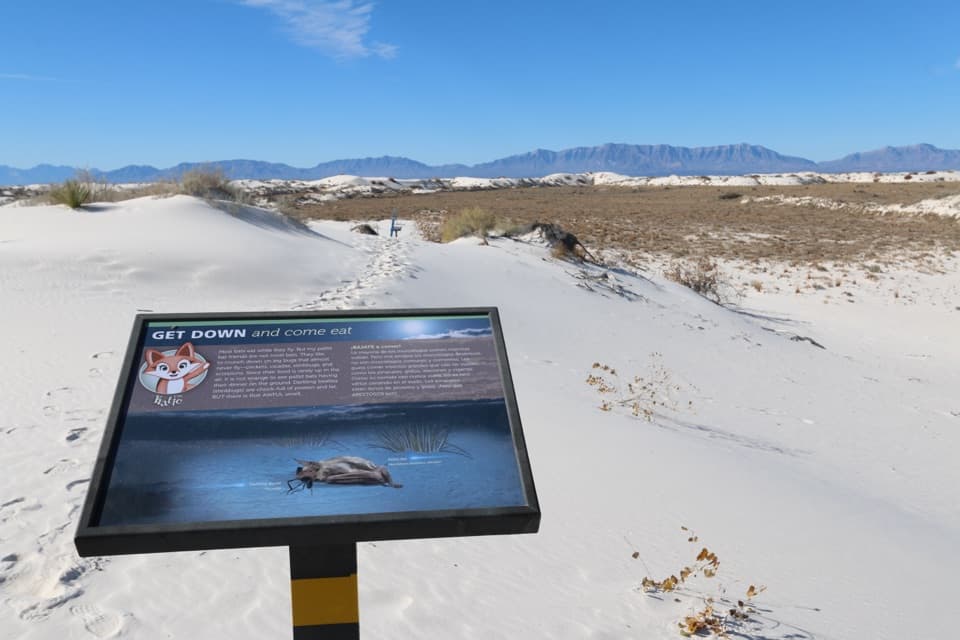 ModerateDune Life Nature Trail1 mi · 1 hr · 4 mi awayA short sand loop with blue markers, steep dunes, and wildlife signs.
 ModerateLake Lucero Trail1.5 mi · 3 hr · 14.2 mi awayA guided walk to the crystals behind White Sands' dunes.
 Sight · At the trailheadAlkali Flat Sledding AreaPractice on a gentle run; the high dunes get steep.
 Sight · 0.2 mi awayWest Filming AreaA popular sledding stop among rolling gypsum dunes.
 Restroom · 0.3 mi awayEvening Program Area RestroomTwo accessible vault toilets, right off Dunes Drive.
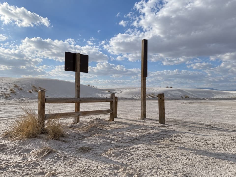 Sight · 0.4 mi awayHorse Unloading AreaA designated trailer lot that also serves dune sledding.
 Sight · 0.5 mi awayWhite Sands AmphitheaterA dune-ringed outdoor venue for White Sands evening programs.
 Picnic area · 0.6 mi awayYucca Picnic AreaA convenient picnic stop near two dune-hike parking areas.
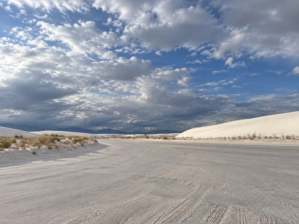 Sight · 0.7 mi awaySunset Stroll Meeting AreaA ranger-led half-mile walk into the dunes at sunset
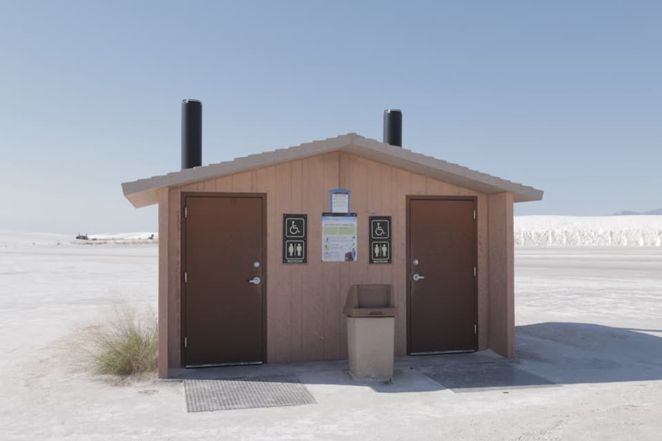 Restroom · 0.8 mi awayBalloon Area RestroomAccessible vault toilets and parking along Dunes Drive.
Parkwolf’s White Sands ranking

The audio tour guide for the drive, plus offline maps, trails, and wildlife heatmaps for when the signal drops.