Pros & cons
PROS
- Gypsum sand often stays cool, making barefoot hiking surprisingly comfortable
- Orange spade markers make dune navigation more manageable in a trackless landscape
CONS
- Markers can be buried or blown over, making navigation tricky in wind
- Backcountry camping via this loop is temporarily closed
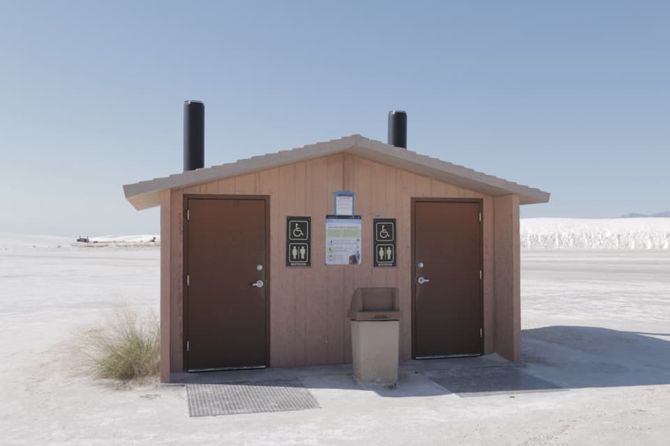
Signed Backcountry Camping Trailhead along Dunes Drive, about 6–6.5 miles from the entrance; decent-sized lot with vault toilets at the trailhead.
No shade or water on trail; extreme heat, high winds, and monsoon lightning are real hazards. Markers can be obscured—carry an offline map/GPS and turn back if unsure. Weak cell signal. Do not touch any strange objects due to nearby missile range debris.
Overview
A moderate 2.0-mile loop through White Sands’ heart, this trail trades elevation gain for repeated, short climbs over loose gypsum dunes. Expect a workout despite the minimal formal elevation—walking in sand adds up. Plan on about 1.5 hours, more if you linger for photos.
Trail Experience
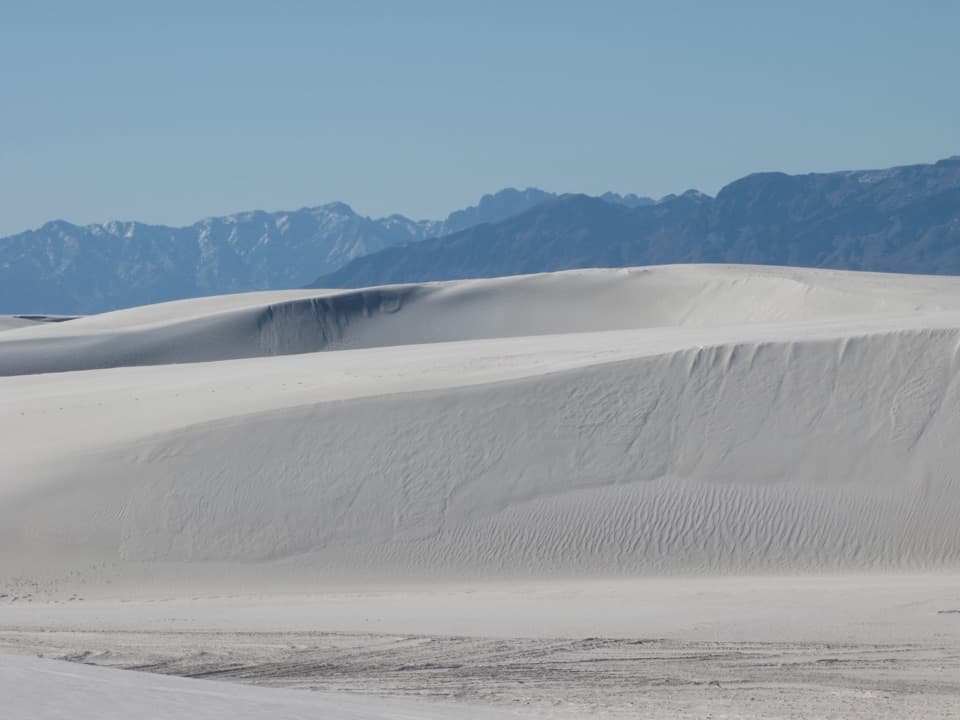
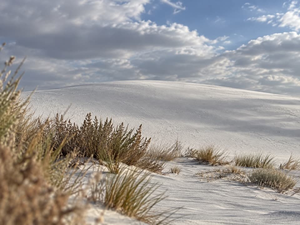
The route weaves across bright white dunes with sweeping views in every direction. The gypsum sand often stays relatively cool, so some hikers go barefoot, though traction can still be tiring. You’ll be climbing and descending multiple dune faces, including a few steeper rises that feel bigger than they look. There’s no shade, no water, and no facilities once you leave the trailhead.
Navigation and Safety
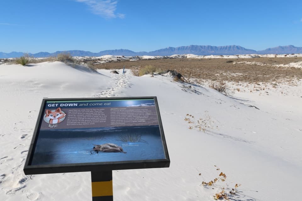
Wayfinding relies on orange posts marked with a spade symbol. Before you leave one marker, identify the next—winds can obscure footprints and even knock markers down. Cell service is spotty; bring an offline map or GPS, and be ready to turn back if you lose the line. Summer heat is intense (don’t start if temperatures are high), spring winds can create white-out conditions, and monsoon lightning is dangerous—tents offer no protection. The park borders an active missile range; if you spot strange debris, do not touch it. Scheduled range tests can also delay opening or trigger temporary closures, so check alerts before you go.
Logistics
Start from the signed Backcountry Camping Trailhead along Dunes Drive (about 6–6.5 miles from the entrance). There are vault toilets at the trailhead and a decent-sized parking area. Carry plenty of water (think at least a gallon per person per day in hot months), sun protection, sunglasses, and high-energy snacks. If you become disoriented, move to a dune crest where you’re more visible.
Camping Status
Overnight backcountry camping accessed via this loop is temporarily closed for rehabilitation with no determined reopening date. Day hiking remains a popular use of the loop.
Best Times to Hike
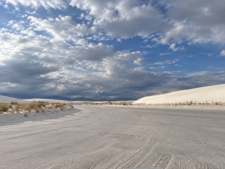
Aim for early morning or late afternoon for cooler temps and softer light—the dunes glow at sunrise and sunset. Winter days are usually mild, but nights can be very cold. Spring can be windy; skip the hike during a windstorm. Summer mornings or evenings are the only reasonable windows, and only if temperatures are safe. Weekdays typically feel quieter than weekends.
Elevation
2 mi · 1.5 hrWhere it starts
32.8098, -106.2647Wildlife on this trail
Near Backcountry Camping Trail
All places →All trails →
0.2 mi awaySunset StrollRanger-led dunes walk timed to the most photogenic sunsetTrailhead · Parking
0.3 mi awayYucca Picnic AreaShaded grills near Alkali Flat for an easy picnic-and-dunes comboPicnic Table · Restroom
0.3 mi awayPrimrose Picnic AreaShaded dune-side tables with grills and vault toiletsPicnic Table · Restroom
0.3 mi awayGroup Use AreaReservable pavilion with grills tucked into the white dunesRestroom · Picnic Table
0.9 mi awayAlkali Flat TrailStrenuous dune loop to the edge of ancient Lake Otero.Challenging · 5 mi · 3 hr
1.9 mi awayInterdune BoardwalkFlat interpretive boardwalk into the dunes, accessible, quick, photogenicEasy · 0.4 mi · 18 min
3.2 mi awayDune Life Nature TrailShort loop through vegetated dunes with wildlife tracks and viewsModerate · 1 mi · 1 hr
14.1 mi awayLake Lucero TrailRare, ranger-led walk to the birthplace of the white dunesModerate · 1.5 mi · 3 hr