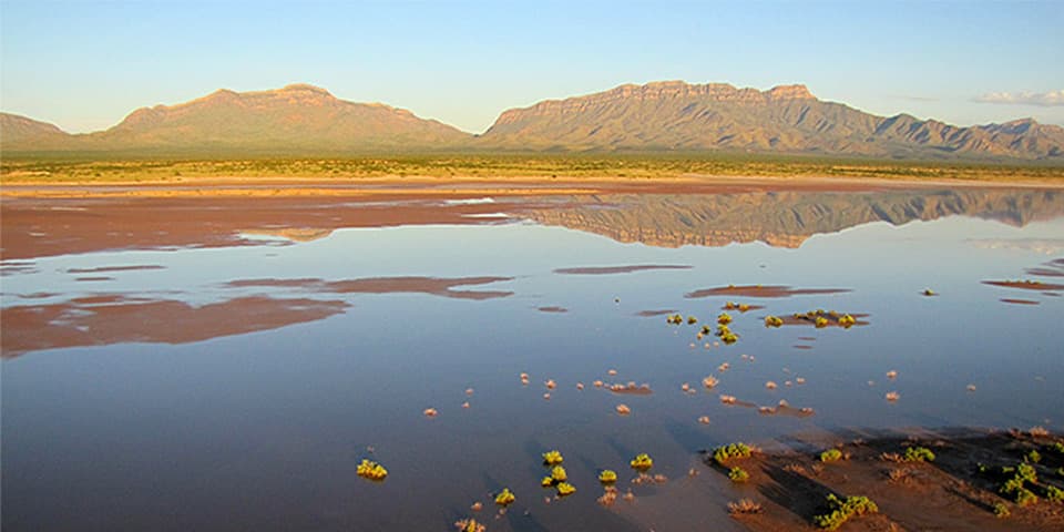
Alkali Flat Sledding Area in White Sands National Park

#3 of 12 sights in White Sands

Sight · White Sands National Park

Alkali Flat Sledding Area

Practice on a gentle run; the high dunes get steep.

Type
Sight
Nearest trail
Right here
Audio stories
11 nearby
  • Parking
  • Restrooms
  • Scenic viewpoint

Hear the audio tour

Alkali Flat: Tall Dunes and Sledding

Overview

About Alkali Flat Sledding Area

Why stop

  • Tall dune faces can deliver fast sand runs.

Heads up

  • Soft sand takes practice, and steep runs can be hard to stop on.

Map

Where it is

Loading the White Sands map
Full map
SightAlkali Flat Sledding Area32.82006, -106.27285
Keep this map with you offline in the Parkwolf app

Plan your stop

Before you go

2 active White Sands alerts

  • ClosureDunes Drive safety corridor and Interdune Boardwalk closureMentions Dunes Drive, referenced in this guideDrive through the Dunes Drive safety corridor without stopping or exiting; the Interdune Boardwalk is closed. - The corridor spans mile markers 3–5.5.Official details
  • ClosureBackcountry camping closedBackcountry camping is closed, and there is no overnight lodging in the park. - NPS says the campsites are closed for rehabilitation; no reopening date has been determined.Official details
White Sands alerts
A park ranger sits on a dash-mounted phone, talking, as Parkwolf’s Tour Guide plays “Army Cutworm Moths: A Grizzly Bear Buffet” on Grand Loop Road below Dunraven Pass in Yellowstone
Parkwolf Tour GuideThe highest, rockiest slopes around here are a summer buffet for grizzly bears.

White Sands Tour Guide

Your drive to Alkali Flat Sledding Area, narrated.

Parkwolf is a GPS audio tour guide for White Sands National Park. As you drive, it chimes in with what’s ahead: hidden gems, upcoming stops, history, geology, and wildlife, right through your car’s speakers.

Recorded for this place

Alkali Flat: Tall Dunes and Sledding
0:00 / 0:31
“Alkali Flat's sledding area and trailhead are coming up, with some of the tallest dunes you can reach from the road. Stop here if you want to climb a dune for the wide mountain view or try your sled on a bigger slope.”

Plays as you drive up to Alkali Flat Sledding Area in the Parkwolf White Sands Tour Guide.

More stories near here in the app

  • The Roadrunner’s X-Shaped Tracks
  • Clear Crystals, White Dunes
  • White Sands Amphitheater: Programs among the Dunes
  • The Kit Fox’s Big Ears
  • 23 audio storiesacross White Sands’s roads, triggered by GPS as you drive
  • Wildlife heatmapsfor Gemsbok, Great Horned Owl, Roadrunner, and 13 more
  • Works offlinemaps, 5 trails, 24 places, and audio download before you lose signal
  • CarPlay readysimple controls built for the drive
★★★★★
“Fantastic app with many points of information… It’s great to just turn on while you’re driving and it gives you an audio tour of the national Park. We love it!!!!”
JMJamesApp Store review
Download Parkwolf on the App StoreGet Parkwolf on Google Play

4.7 from 8,600+ ratings

Guide

More about Alkali Flat Sledding Area

The sledding stopAlkali Flat Sledding Area is the sledding pull-in at the end of Dunes Drive, where the parking…

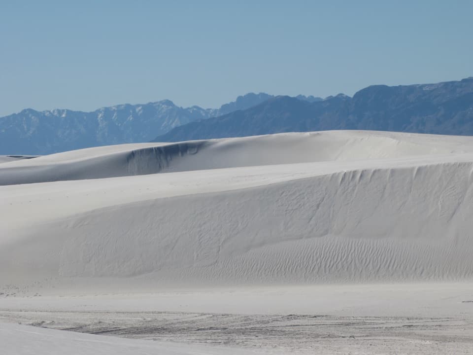
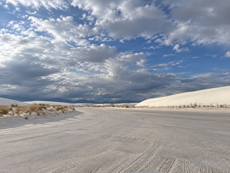
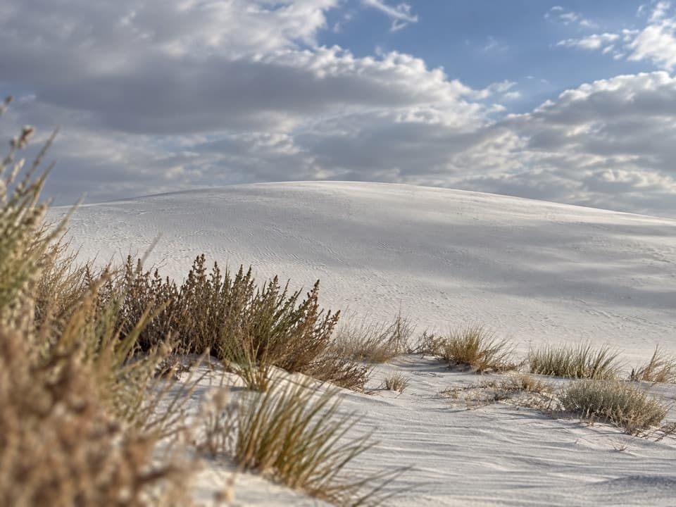
Alkali Flat Sledding Area is the sledding pull-in at the end of Dunes Drive, where the parking area is cut into tall gypsum dunes. These are among the tallest dunes reachable from the road, and their steeper faces can give practiced riders a fast run. Sand isn't as slick as snow, so pick a gentler slope with a level, clear runout, especially on your first try. Use a waxed plastic saucer and ride seated or lying feet-first. Keep the runout clear of roads, parked cars, plants, hard sand clumps and other obstacles; never stand or go head-first.

Give yourself room for a good runThe lot sits right at the dunes, but fresher sand and a little more privacy can be a few dunes…

The lot sits right at the dunes, but fresher sand and a little more privacy can be a few dunes farther in. Walking through unpacked sand takes effort, and every run leaves you with a climb back up before the next one. From the taller dunes near the trailhead, the view opens over the white field and the surrounding mountains, a worthwhile pause between rides.

Plan the driveThe sledding area is at the end of the 8-mile Dunes Drive, about a 25-minute drive from the…

The sledding area is at the end of the 8-mile Dunes Drive, about a 25-minute drive from the entrance; you'll return the same way. Half the road is paved and half packed gypsum, and weather or White Sands Missile Range testing can affect access, so check park alerts before you go. Sledding needs no reservation, but a park entrance pass is required.

Before you leave the visitor centerThe parking area has space for standard and oversized vehicles and one vault toilet, but no…

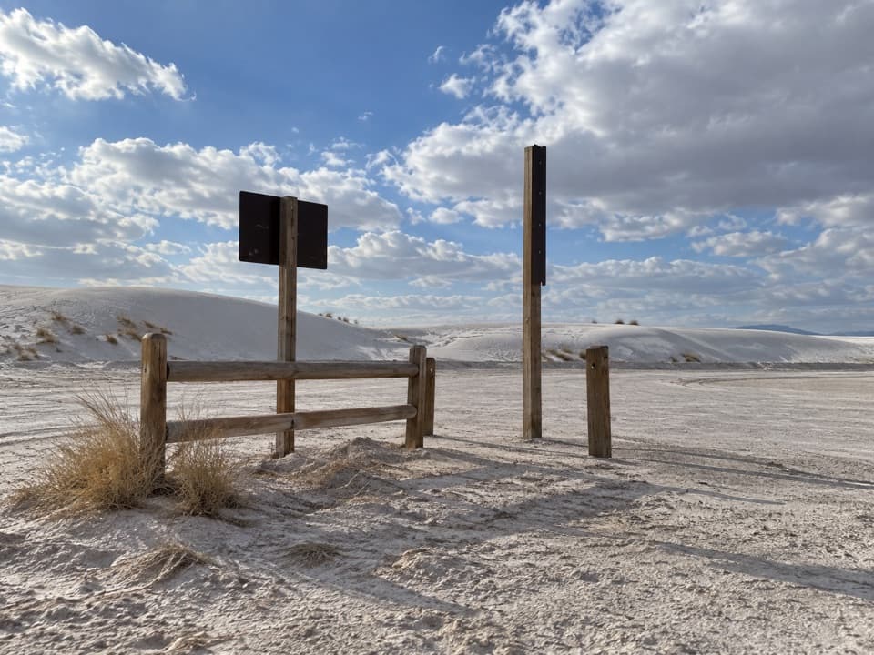
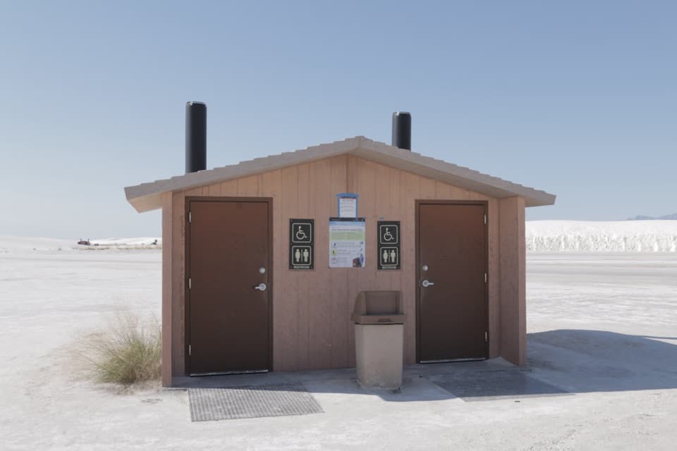
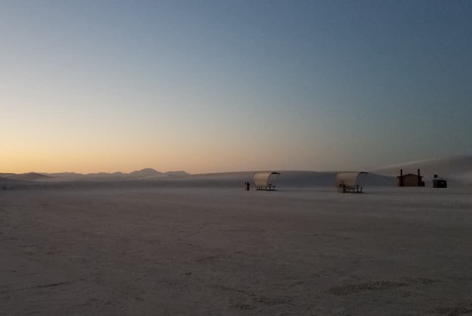
The parking area has space for standard and oversized vehicles and one vault toilet, but no shade. There is no drinking water out in the dunefield, so fill up at the visitor center first. The shop there rents or sells sleds and has grab-and-go sandwiches, snacks and drinks. The loose sand and steep grades make the trailhead and dunes inaccessible to visitors with mobility limitations. Dogs are allowed on leads no longer than six feet.

From an ancient sea to Lake OteroThe white dunes are gypsum, not quartz sand.

The white dunes are gypsum, not quartz sand. Their mineral story starts with gypsum deposited on the floor of a Permian sea. Later faulting formed the Tularosa Basin, and the Rio Grande blocked its outlet about two to three million years ago, allowing Lake Otero to spread across roughly 1,600 square miles. As the last Ice Age ended, the lake evaporated; its dry lakebed became Alkali Flat.

How Alkali Flat feeds the dunesSelenite crystals about two to three centimeters long form at Alkali Flat and Lake Lucero.

Selenite crystals about two to three centimeters long form at Alkali Flat and Lake Lucero. Large floods concentrate mineral-rich water, and most crystal growth follows floods roughly every 10 to 14 years. Wind and water break the crystals into fine gypsum grains; strong winds carry the sand northeast and build the dunes you're sledding on.

Wildlife

Wildlife in White Sands

All White Sands wildlife maps

Sighting maps show where each species has been reported across White Sands. Wildlife moves, so no sighting is guaranteed.

Parkwolf’s White Sands ranking

Top sights in White Sands

All 24 places
  1. 1Sunset Stroll Meeting AreaSight
  2. 2Sledding Area - Backcountry Camping Parking LotSight
  3. 4Lake LuceroSight
  4. 5White Sands AmphitheaterSight
  5. 6West Filming AreaSight
  6. 7Horse Unloading AreaSight

Take Parkwolf to White Sands.

The audio tour guide for the drive, plus offline maps, trails, and wildlife heatmaps for when the signal drops.

4.7 from 8,600+ ratings

Download Parkwolf on the App StoreGet Parkwolf on Google Play