Parking
Use the Interdune Boardwalk parking area on Dunes Drive, about 4.5 miles from the Visitor Center. An accessible restroom is at the lot; standard park entrance fees apply.

#4 of 5 trails in White Sands
White Sands National Park, NM
A short boardwalk through White Sands’ fragile interdune landscape.
Overview
Map & elevation
Plan your hike

The highest, rockiest slopes around here are a summer buffet for grizzly bears.
White Sands Tour Guide
Parkwolf is a GPS audio tour guide for White Sands National Park. As you drive, it chimes in with what’s ahead: hidden gems, upcoming stops, history, geology, and wildlife, right through your car’s speakers.
Recorded for this trailhead
Interdune Boardwalk: A Firm Path into the Dunes“The Interdune Boardwalk is coming up, a good choice if you want a dune walk on a firm surface.”
Plays as you drive up to this trailhead in the Parkwolf White Sands Tour Guide.
More stories near here in the app
“Fantastic app with many points of information… It’s great to just turn on while you’re driving and it gives you an audio tour of the national Park. We love it!!!!”


Trail guide
The National Park Service currently lists Interdune Boardwalk as closed because of the active Dunes Drive safety corridor. Do not enter the boardwalk while that restriction is in effect. Ask at the visitor center about available alternatives and check the park’s current conditions before visiting. The route description below explains the boardwalk when access is permitted.
Interdune Boardwalk is a 0.4-mile round-trip out-and-back on a raised path through White Sands’ interdune ground. Allow 15–30 minutes to follow ten interpretive panels and take in the view over the white dunes toward the Sacramento Mountains. It’s a good choice for a brief, low-effort look at the park’s gypsum landscape, especially if you want a firm boardwalk instead of walking directly over the sand. For a longer walk among the dunes, choose one of the park’s longer trails; this one is an introduction, not a deep crossing.
The route runs about 0.2 mile each way from the parking area to a viewing platform, then returns along the same path. It passes through the vegetated interdune zone toward more open gypsum dunes. Ten panels explain the area’s geology, wildlife and other features. A covered seating and shade area is about halfway along, with no junctions to sort out.
At the platform, the dunes stretch toward the Sacramento Mountains. The vista is a nice payoff for a short walk, though some visitors find it modest beside hikes that go farther into the dune field. If you stop for a picture, include a length of the raised boardwalk in front of the dunes to show how the path sits above the fragile ground.
The park designates the trail as ADA-accessible, and the boardwalk keeps the route on a raised deck. Wind can blow sand onto parts of it and make the walk harder, so accessibility may vary with drifting sand. The parking area is surfaced with compacted sand and has an accessible restroom. Pets are allowed on a leash no longer than six feet; the park advises bringing water for people and pets.
Wildlife
 39 sightingsGemsbokMost seen around 7 PMSighting map
 17 sightingsGreat Horned OwlMost seen around 7 PMSighting map
 10 sightingsRoadrunnerMost seen around 9 AMSighting map
 11 sightingsRavenMost seen around 8 AMSighting map
 16 sightingsHorned LarkMost seen around 8 AMSighting map
 20 sightingsBlack-throated SparrowMost seen around 7 AMSighting map
Sighting maps show where each species has been reported across White Sands. Wildlife moves, so no sighting is guaranteed.
Keep exploring
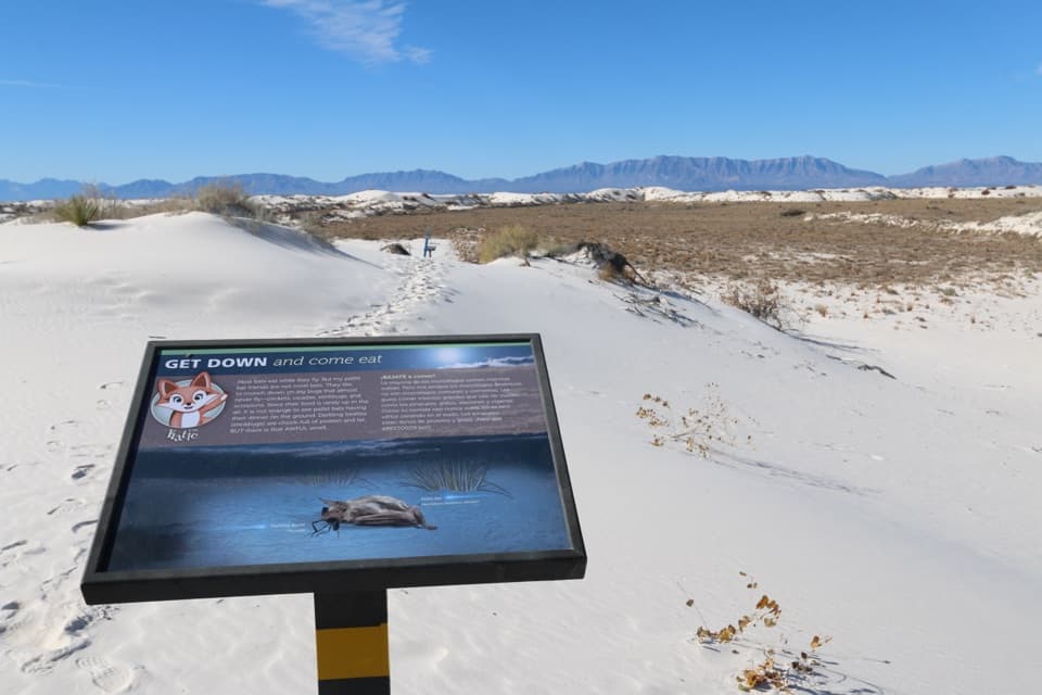 ModerateDune Life Nature Trail1 mi · 1 hr · 1.5 mi awayA short sand loop with blue markers, steep dunes, and wildlife signs.
 ModerateBackcountry Camping Trail2 mi · 2.5 hr · 1.9 mi awayClimb loose gypsum dunes on a short, orange-marker loop.
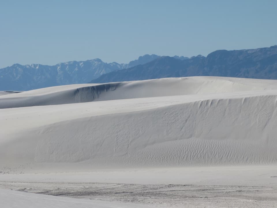 ChallengingAlkali Flat Trail5 mi · 3 hr · 2.7 mi awayFive sandy miles through gypsum dunes to an ancient lakebed edge.
 ModerateLake Lucero Trail1.5 mi · 3 hr · 14.8 mi awayA guided walk to the crystals behind White Sands' dunes.
 Historic marker · 0.3 mi awayLife Thrives Roadside ExhibitA tiny world lives in the crust beneath the dunes.
 Sight · 0.5 mi awayRare Wonder Roadside ExhibitA compact bilingual guide to the dunes, from desert scrub inward.
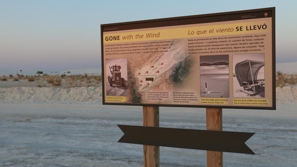 Sight · 1.5 mi awayGone with the Wind Roadside ExhibitA quick stop explaining how wind reshapes the dunes and roads.
 Picnic area · 1.8 mi awayWhite Sands Group Use AreaShaded, reservable pavilion for group picnics and gatherings.
 Restroom · 1.8 mi awayHeart of the Sands RestroomTwo accessible vault toilets beside White Sands’ Dunes Drive.
 Picnic area · 1.8 mi awayPrimrose Picnic AreaShaded tables and built-in grills along Dunes Drive.
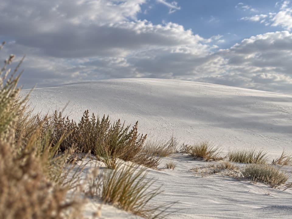 Sight · 1.8 mi awaySledding Area - Backcountry Camping Parking LotA sledding stop beside White Sands' marked two-mile dune loop.
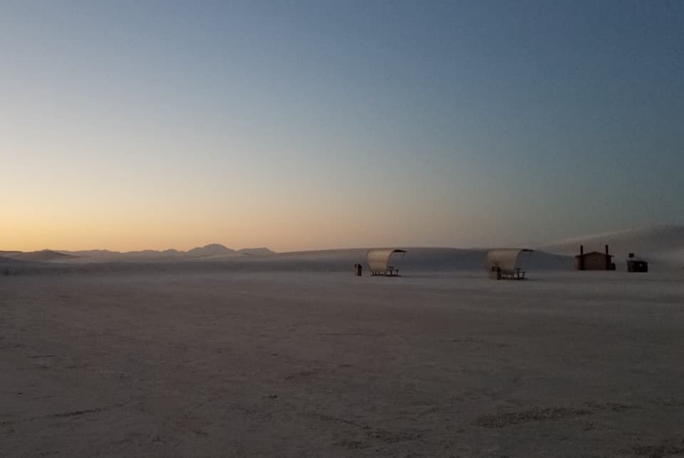 Picnic area · 1.9 mi awayRoadrunner Picnic AreaA big shaded picnic stop with sledding dunes right at the lot.
Parkwolf’s White Sands ranking

The audio tour guide for the drive, plus offline maps, trails, and wildlife heatmaps for when the signal drops.