Gone with the Wind Roadside Exhibit in White Sands National Park

Sight · White Sands National Park

Gone with the Wind Roadside Exhibit

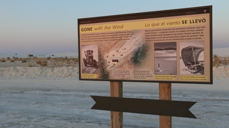
A quick stop explaining how wind reshapes the dunes and roads.

Photo: National Park Service
Type
Sight
Nearest trail
0.3 mi
Audio stories
15 nearby
  • Exhibit
  • Pullout
  • Parking

Hear the audio tour

Backcountry Camping: Sledding and a Dune Loop

Overview

About Gone with the Wind Roadside Exhibit

Why stop

  • The bilingual panel links shifting dunes to the road, trails, and shelters.

Map

Where it is

Loading the White Sands map
Full map
SightGone with the Wind Roadside Exhibit32.80643, -106.26085
Keep this map with you offline in the Parkwolf app

Plan your stop

Before you go

2 active White Sands alerts

  • ClosureDunes Drive safety corridor and Interdune Boardwalk closureMentions Dunes Drive, referenced in this guideDrive through the Dunes Drive safety corridor without stopping or exiting; the Interdune Boardwalk is closed. - The corridor spans mile markers 3–5.5.Official details
  • ClosureBackcountry camping closedBackcountry camping is closed, and there is no overnight lodging in the park. - NPS says the campsites are closed for rehabilitation; no reopening date has been determined.Official details
White Sands alerts
A park ranger sits on a dash-mounted phone, talking, as Parkwolf’s Tour Guide plays “Army Cutworm Moths: A Grizzly Bear Buffet” on Grand Loop Road below Dunraven Pass in Yellowstone
Parkwolf Tour GuideThe highest, rockiest slopes around here are a summer buffet for grizzly bears.

White Sands Tour Guide

Your drive to Gone with the Wind Roadside Exhibit, narrated.

Parkwolf is a GPS audio tour guide for White Sands National Park. As you drive, it chimes in with what’s ahead: hidden gems, upcoming stops, history, geology, and wildlife, right through your car’s speakers.

Recorded for this area

Backcountry Camping: Sledding and a Dune Loop
0:00 / 0:30
“Up ahead is the Backcountry Camping parking area, with sledding dunes right beside the lot. It's a useful stop if you've already had some practice and want slopes where you can build a little speed.”

Plays on the road 0.1 mi from Gone with the Wind Roadside Exhibit in the Parkwolf White Sands Tour Guide.

More stories near here in the app

  • The Custodian in an Insurance Office
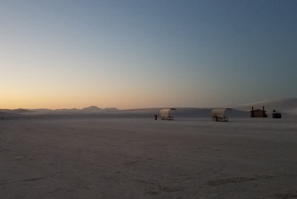
  • Roadrunner and Primrose: Picnic Shelters in the Dunes
  • Sunset Stroll: Walk with a Ranger
  • Water Just Beneath the Sand
  • 23 audio storiesacross White Sands’s roads, triggered by GPS as you drive
  • Wildlife heatmapsfor Gemsbok, Great Horned Owl, Roadrunner, and 13 more
  • Works offlinemaps, 5 trails, 24 places, and audio download before you lose signal
  • CarPlay readysimple controls built for the drive
★★★★★
“Fantastic app with many points of information… It’s great to just turn on while you’re driving and it gives you an audio tour of the national Park. We love it!!!!”
JMJamesApp Store review
Download Parkwolf on the App StoreGet Parkwolf on Google Play

4.7 from 8,600+ ratings

Guide

More about Gone with the Wind Roadside Exhibit

A brief pause on Dunes DriveThis small wayside on White Sands’ 8-mile Dunes Drive explains how wind keeps reshaping the…

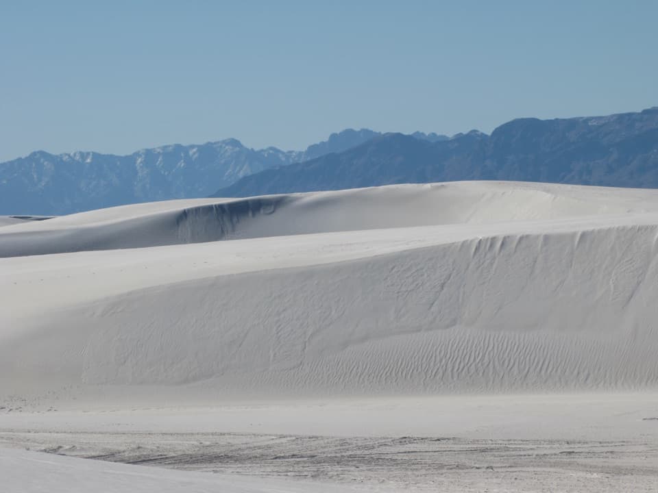
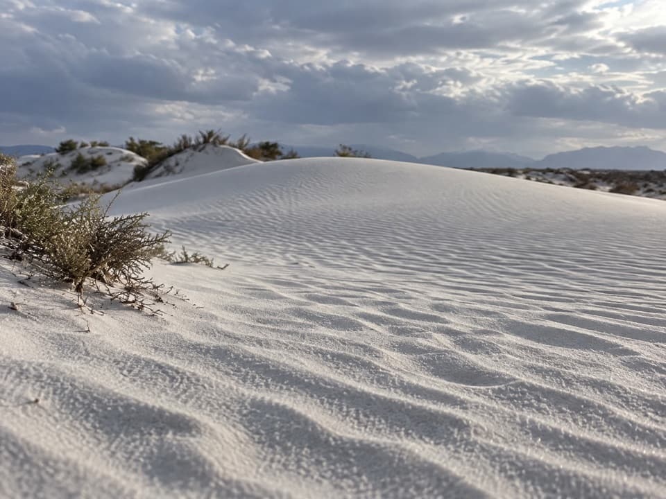
This small wayside on White Sands’ 8-mile Dunes Drive explains how wind keeps reshaping the gypsum dunes and the visitor route across them. It’s a quick read and a useful pause when you’re already making the drive; it doesn’t need a separate trip.

A panel about constant changeIts bilingual panel pairs a regional satellite image with arrows and examples of road work, a…

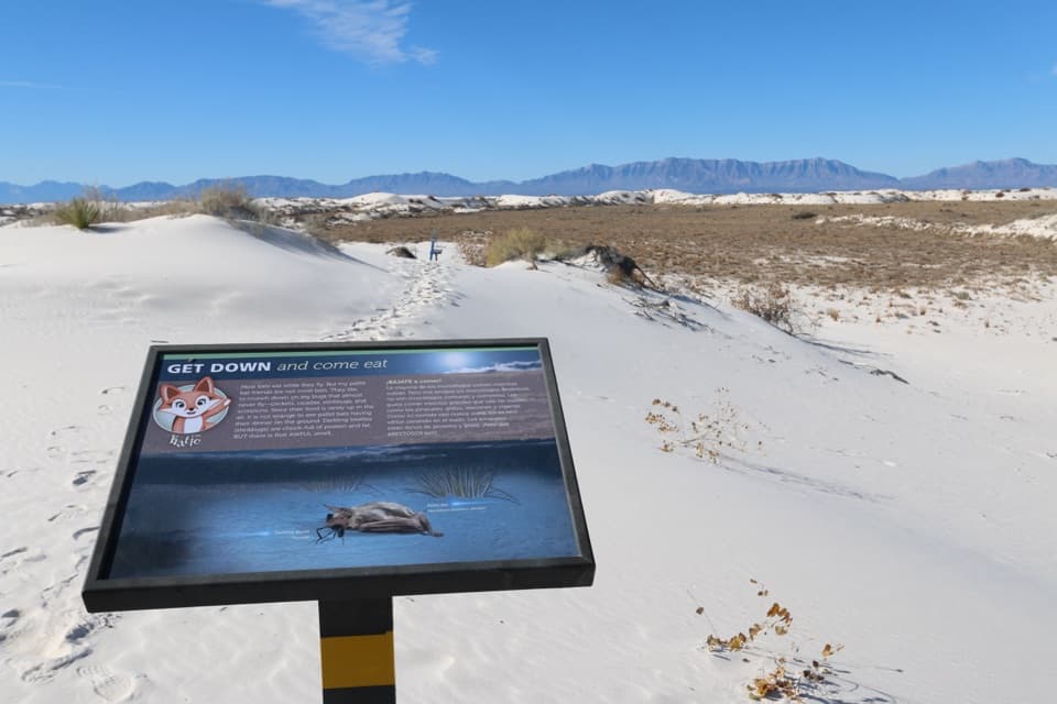
Its bilingual panel pairs a regional satellite image with arrows and examples of road work, a trail marker nearly buried in sand, and a picnic shelter that can be moved. Wind can erase tracks and push sand across the route. The sign quotes a road-equipment operator who said even a 40-hour work week wasn’t enough to keep up with road maintenance.

Where the gypsum came fromThe gypsum began as deposits left by the Permian Sea about 280–250 million years ago.

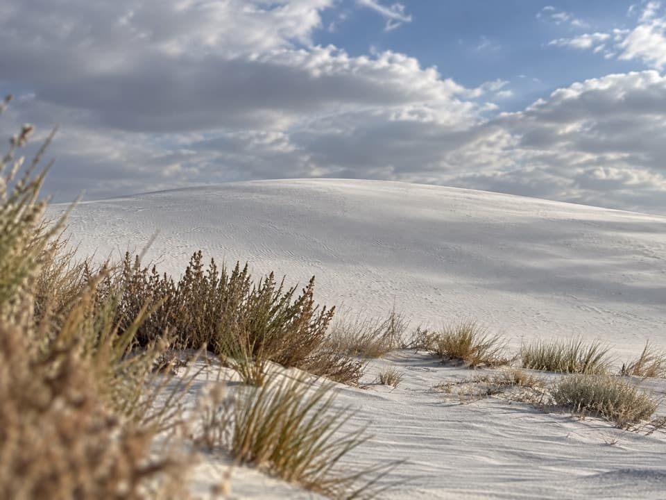
The gypsum began as deposits left by the Permian Sea about 280–250 million years ago. Later, water carried it into Lake Otero; as the lake and basin dried, exposed crystals broke down into grains that wind could carry into dunes. Look from the panel’s maintenance examples back to the white sand around the pull-off to connect the story to the landscape.

Fit it into the driveDunes Drive runs 8 miles each way and takes about 45 minutes round trip before stops.

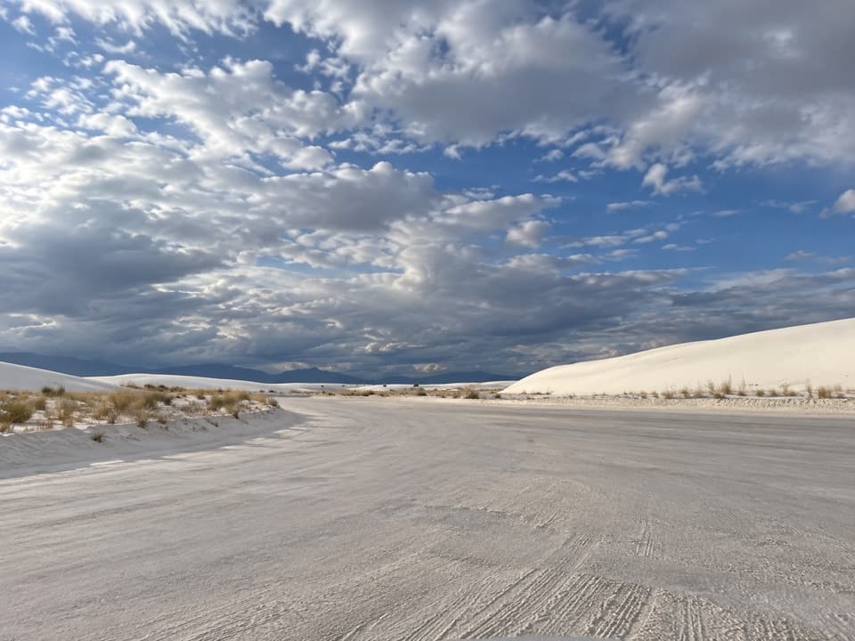
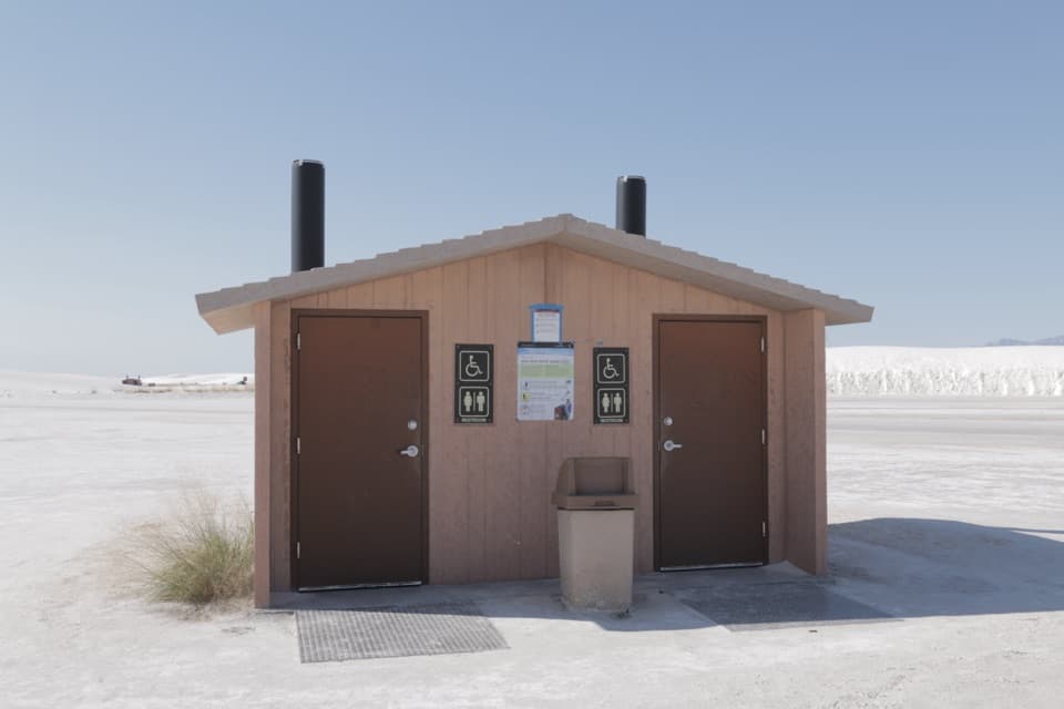
Dunes Drive runs 8 miles each way and takes about 45 minutes round trip before stops. The first five miles are paved; the last three are hard-packed gypsum sand. The sign stands beside a broad hard-packed-sand pull-off. NPS doesn’t list a restroom, drinking water, or food at this specific stop, so plan those around other stops on the drive. Dunes Drive can close for military testing or severe weather, and dust can sharply reduce visibility; check current conditions and stop only at marked pullouts.

Wildlife

Wildlife in White Sands

All White Sands wildlife maps

Sighting maps show where each species has been reported across White Sands. Wildlife moves, so no sighting is guaranteed.

Parkwolf’s White Sands ranking

Top sights in White Sands

All 24 places
  1. 1Sunset Stroll Meeting AreaSight
  2. 2Sledding Area - Backcountry Camping Parking LotSight
  3. 3Alkali Flat Sledding AreaSight
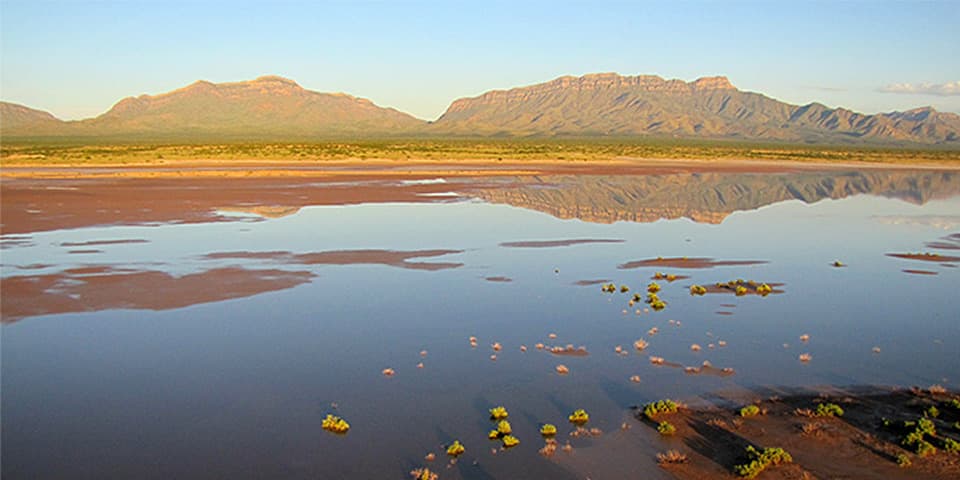
  4. 4Lake LuceroSight
  5. 5White Sands AmphitheaterSight
  6. 6West Filming AreaSight

Take Parkwolf to White Sands.

The audio tour guide for the drive, plus offline maps, trails, and wildlife heatmaps for when the signal drops.

4.7 from 8,600+ ratings

Download Parkwolf on the App StoreGet Parkwolf on Google Play