Roadrunner Picnic Area in White Sands National Park

Picnic area · White Sands National Park

Roadrunner Picnic Area

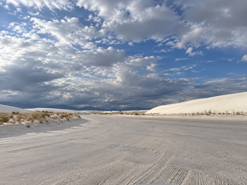
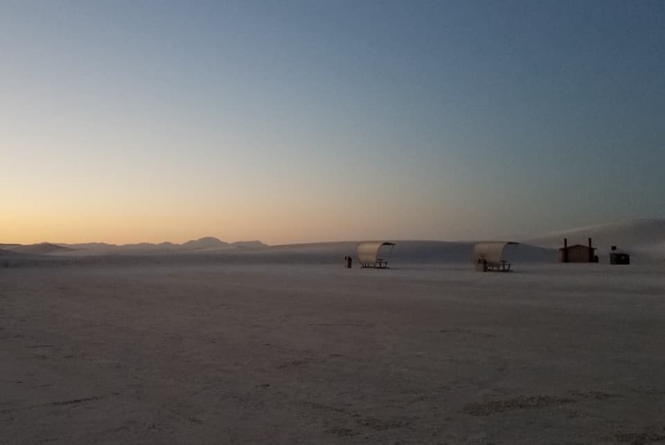
A big shaded picnic stop with sledding dunes right at the lot.

Photo: Wikimedia Commons
Type
Picnic area
Nearest trail
0.4 mi
Audio stories
14 nearby
  • Picnic tables
  • Restrooms
  • Parking
  • Scenic viewpoint

Hear the audio tour

Roadrunner and Primrose: Picnic Shelters in the Dunes

Overview

About Roadrunner Picnic Area

Why stop

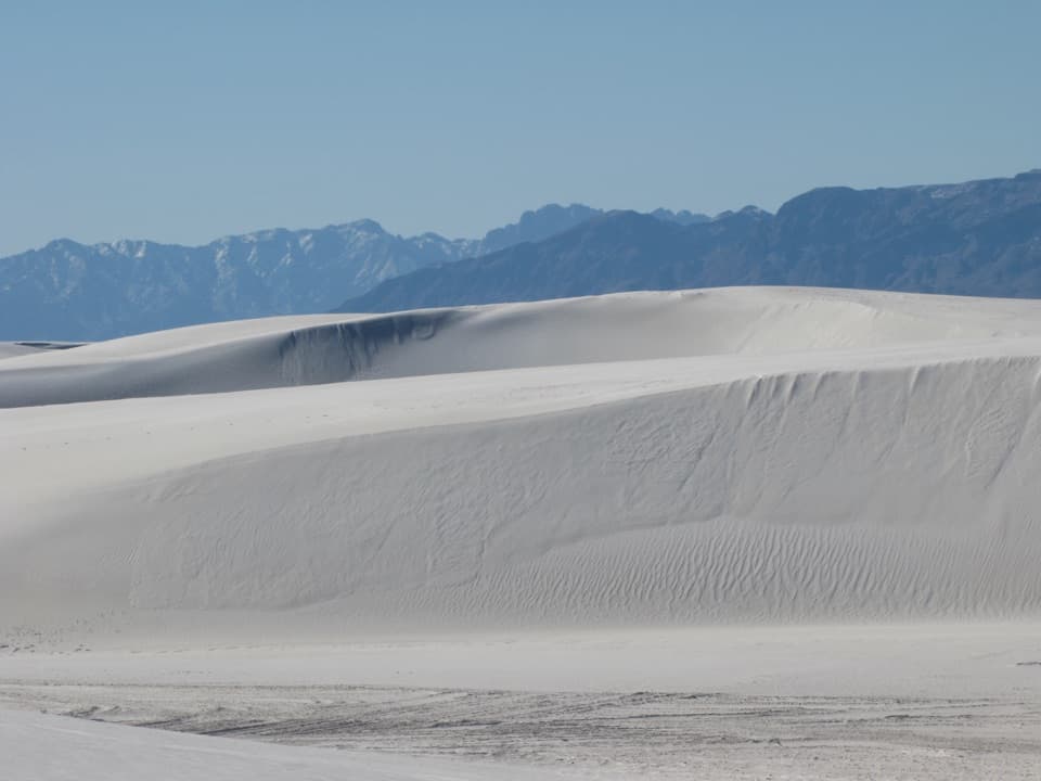
  • Sledding dunes begin at the parking area, with slopes for different ages.
  • Shaded picnic tables have elevated grills and group shelters.

Heads up

  • There is no water at the picnic area.
  • Loose, steep sand keeps wheelchair users off the dunes.

Map

Where it is

Loading the White Sands map
Full map
Picnic areaRoadrunner Picnic Area32.81449, -106.26117
Keep this map with you offline in the Parkwolf app

Plan your stop

Before you go

2 active White Sands alerts

  • ClosureDunes Drive safety corridor and Interdune Boardwalk closureMentions Dunes Drive, referenced in this guideDrive through the Dunes Drive safety corridor without stopping or exiting; the Interdune Boardwalk is closed. - The corridor spans mile markers 3–5.5.Official details
  • ClosureBackcountry camping closedBackcountry camping is closed, and there is no overnight lodging in the park. - NPS says the campsites are closed for rehabilitation; no reopening date has been determined.Official details

White Sands alerts
A park ranger sits on a dash-mounted phone, talking, as Parkwolf’s Tour Guide plays “Army Cutworm Moths: A Grizzly Bear Buffet” on Grand Loop Road below Dunraven Pass in Yellowstone
Parkwolf Tour GuideThe highest, rockiest slopes around here are a summer buffet for grizzly bears.

White Sands Tour Guide

Your drive to Roadrunner Picnic Area, narrated.

Parkwolf is a GPS audio tour guide for White Sands National Park. As you drive, it chimes in with what’s ahead: hidden gems, upcoming stops, history, geology, and wildlife, right through your car’s speakers.

Recorded for this place

Roadrunner and Primrose: Picnic Shelters in the Dunes
0:00 / 0:31
“You're approaching Roadrunner and Primrose, two picnic areas with shaded tables among the dunes. If you've brought lunch, this is a good place for a break without committing to a hike.”

Plays as you drive up to Roadrunner Picnic Area in the Parkwolf White Sands Tour Guide.

More stories near here in the app

  • The Kit Fox’s Big Ears
  • Sunset Stroll: Walk with a Ranger
  • White Sands Amphitheater: Programs among the Dunes
  • Backcountry Camping: Sledding and a Dune Loop
  • 23 audio storiesacross White Sands’s roads, triggered by GPS as you drive
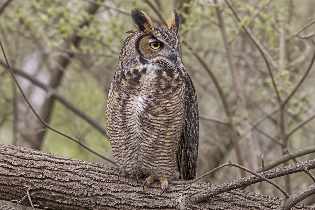
  • Wildlife heatmapsfor Gemsbok, Great Horned Owl, Roadrunner, and 13 more
  • Works offlinemaps, 5 trails, 24 places, and audio download before you lose signal
  • CarPlay readysimple controls built for the drive
★★★★★
“Fantastic app with many points of information… It’s great to just turn on while you’re driving and it gives you an audio tour of the national Park. We love it!!!!”
JMJamesApp Store review
Download Parkwolf on the App StoreGet Parkwolf on Google Play

4.7 from 8,600+ ratings

Guide

More about Roadrunner Picnic Area

Picnic and sledding in one stopRoadrunner is White Sands’ largest of three public picnic areas on Dunes Drive, about six miles…

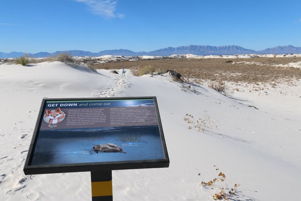
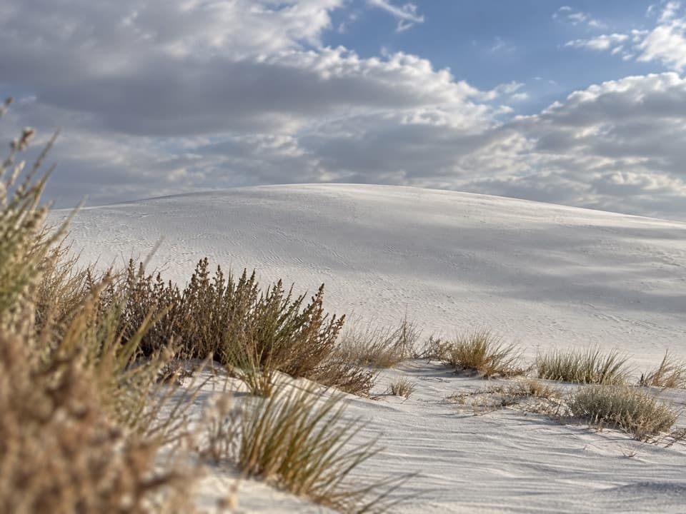
Roadrunner is White Sands’ largest of three public picnic areas on Dunes Drive, about six miles from the Visitor Center. The gypsum dunes start right by the parking area, so you can settle in for lunch and then try a sled run without committing to a trail. I’d pick it when you want shade and a playful break in the same stop.

Tables, grills, and sheltersDozens of picnic tables have metal shade structures and elevated grills.

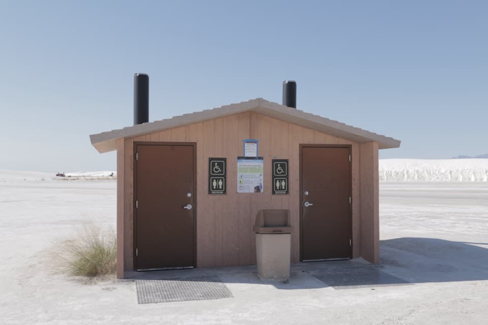
Dozens of picnic tables have metal shade structures and elevated grills. Two first-come group pavilions fit up to 20 people each. The accessible-shelter count is unclear, so check the layout if your group needs a particular setup. There are accessible vault toilets here, too.

Sledding starts at the lotSmaller and larger slopes rise straight from the lot; the tallest dunes are around 40 feet.

Smaller and larger slopes rise straight from the lot; the tallest dunes are around 40 feet. They’re steep enough for a bit of speed but short, with long views toward the San Andres and Sacramento Mountains. Bring a sled or pick one up at the Visitor Center trading post before driving out. Keep sleds away from plants and roads, and stay close to kids on the slopes.

What to plan forThe parking area is large, compacted sand with room for RVs and trailers.

The parking area is large, compacted sand with room for RVs and trailers. Picnic structures, parking, and toilets are accessible, but steep, loose sand makes the dunes inaccessible to wheelchair users. There’s no water at the picnic area; fill bottles at the Visitor Center before you head in. Bag your trash so the wind doesn’t carry it into the dunes.

Wildlife

Wildlife in White Sands

All White Sands wildlife maps

Sighting maps show where each species has been reported across White Sands. Wildlife moves, so no sighting is guaranteed.

Parkwolf’s White Sands ranking

Top sights in White Sands

All 24 places
  1. 1Sunset Stroll Meeting AreaSight
  2. 2Sledding Area - Backcountry Camping Parking LotSight
  3. 3Alkali Flat Sledding AreaSight
  4. 4Lake LuceroSight
  5. 5White Sands AmphitheaterSight
  6. 6West Filming AreaSight

Take Parkwolf to White Sands.

The audio tour guide for the drive, plus offline maps, trails, and wildlife heatmaps for when the signal drops.

4.7 from 8,600+ ratings

Download Parkwolf on the App StoreGet Parkwolf on Google Play