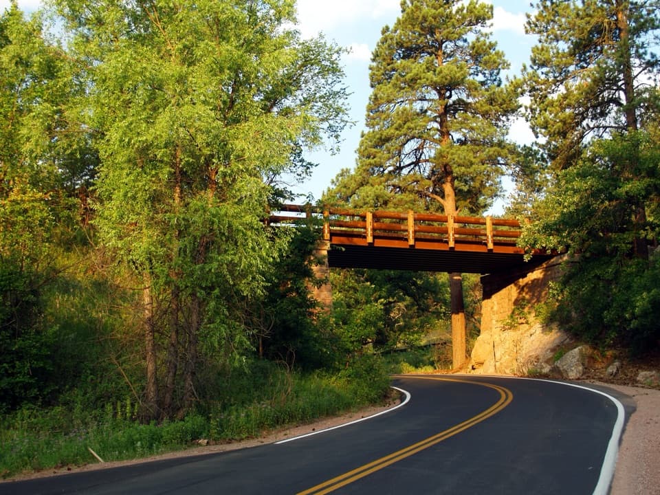
Pigtail Bridge in Wind Cave National Park

#5 of 10 sights in Wind Cave

Sight · Wind Cave National Park

Pigtail Bridge

One road climbs over its own path, then curls back underneath.

Photo: National Park Service
Type
Sight
Nearest trail
1.5 mi
Audio stories
7 nearby
  • Parking
  • Pullout

Hear the audio tour

Pigtail Bridge

Overview

About Pigtail Bridge

Why stop

  • A memorable piece of road engineering built into the scenic drive.

Heads up

  • The geology pullout sits beside a curved road with moving traffic.
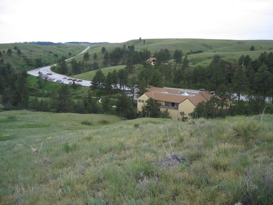
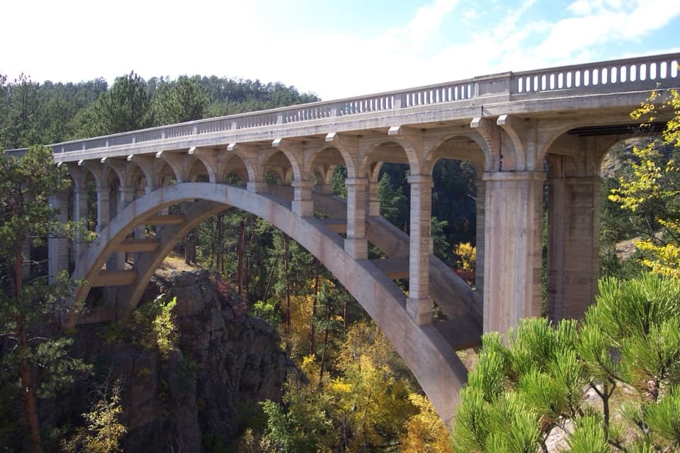
Pigtail Bridge is a historic loop bridge on SD 87, one of Wind Cave's main paved roads. The highway crosses above its own route, curves around, then slips back underneath the bridge. You can take in the whole idea in one pass through; it earns a short stop if unusual road engineering interests you.
Parkwolf’s verdictWhy stop here

Map

Where it is

Loading the Wind Cave map
Full map
SightPigtail Bridge43.60122, -103.49434
Keep this map with you offline in the Parkwolf app

Plan your stop

Before you go

1 active Wind Cave alert

  • ClosureNatural Entrance Tour Route closed for winterThe Natural Entrance Tour Route is closed for the season beginning October 1, 2026, because of the park’s annual winter seasonal closure. - The closure lasts through the winter season.Official details

Wind Cave alerts
A park ranger sits on a dash-mounted phone, talking, as Parkwolf’s Tour Guide plays “Army Cutworm Moths: A Grizzly Bear Buffet” on Grand Loop Road below Dunraven Pass in Yellowstone
Parkwolf Tour GuideThe highest, rockiest slopes around here are a summer buffet for grizzly bears.

Wind Cave Tour Guide

Your drive to Pigtail Bridge, narrated.

Parkwolf is a GPS audio tour guide for Wind Cave National Park. As you drive, it chimes in with what’s ahead: hidden gems, upcoming stops, history, geology, and wildlife, right through your car’s speakers.

Recorded for this place

Pigtail Bridge
0:00 / 0:28
“You're approaching Pigtail Bridge, where the highway loops around and passes beneath its own bridge. The shape is the attraction: follow the curling road and you'll see how the crossing fits together.”

Plays as you drive up to Pigtail Bridge in the Parkwolf Wind Cave Tour Guide.

More stories near here in the app

  • Spotting a Pronghorn
  • Ancient Foundations
  • The Pine That Smells Sweet
  • Beaver Creek Bridge
  • 28 audio storiesacross Wind Cave’s roads, triggered by GPS as you drive
  • Wildlife heatmapsfor Bison, Elk, Pronghorn, and 13 more
  • Works offlinemaps, 11 trails, 14 places, and audio download before you lose signal
  • CarPlay readysimple controls built for the drive
★★★★★
“Fantastic app with many points of information… It’s great to just turn on while you’re driving and it gives you an audio tour of the national Park. We love it!!!!”
JMJamesApp Store review
Download Parkwolf on the App StoreGet Parkwolf on Google Play

4.7 from 8,600+ ratings

Guide

More about Pigtail Bridge

Pause after the underpassFor the nearby Schist geology stop, use the small pullout on the right immediately after…

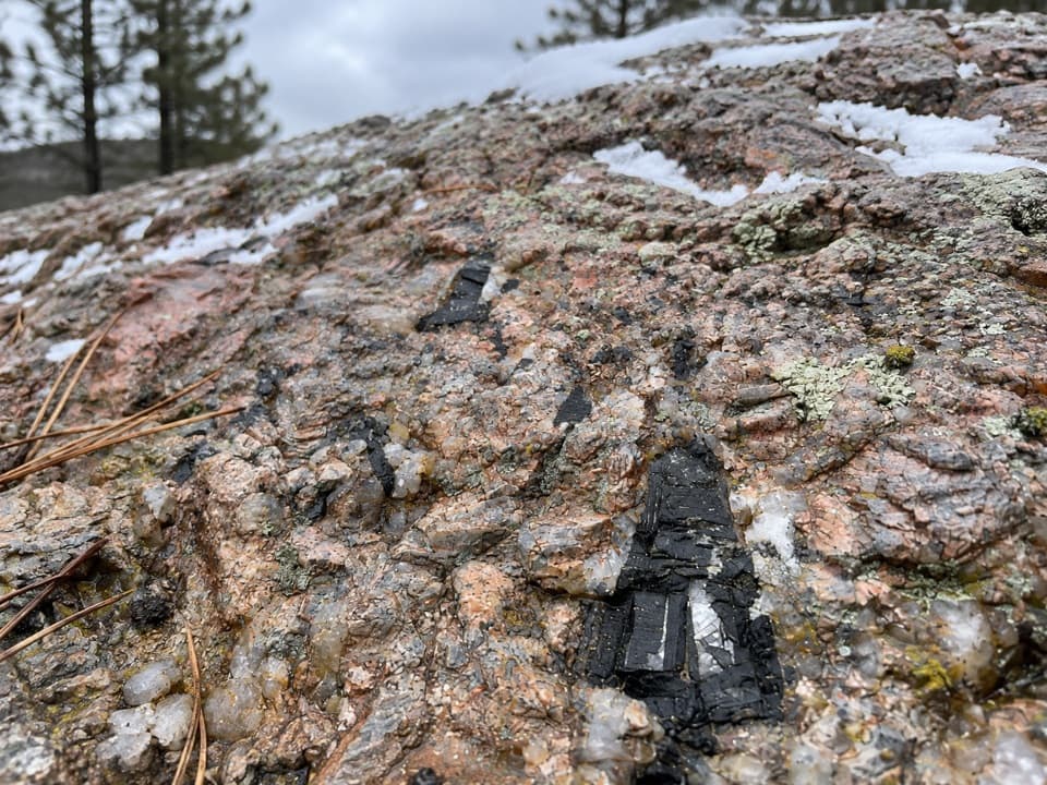
For the nearby Schist geology stop, use the small pullout on the right immediately after driving beneath the bridge. The rock outcrop is on the left side of the curve, and traffic still uses the road, so stay clear of the travel lane. For a photo, include both the bridge and the curling pavement below it; without the bend, it looks like an ordinary crossing.

Read the rockThe outcrop beside the pullout is schist, a mica-rich metamorphic rock from the Precambrian…

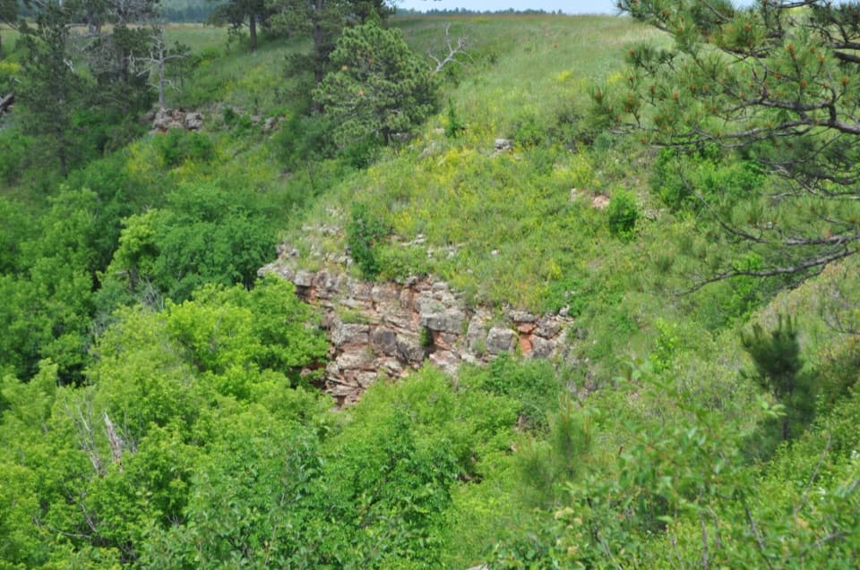
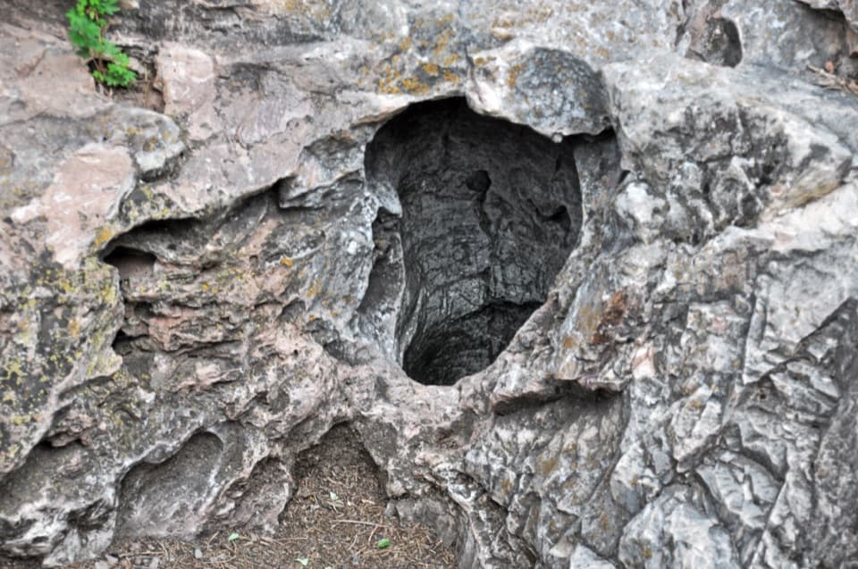
The outcrop beside the pullout is schist, a mica-rich metamorphic rock from the Precambrian core of the Black Hills. Look for its thin, shiny layers, called foliation, and small folds. Those layers record the intense pressure that changed the rock deep underground.

A loop with a historyThe bridge is also known as Pig Tail Bridge and has been a nationally listed historic structure…

The bridge is also known as Pig Tail Bridge and has been a nationally listed historic structure since 1995. Its historic record identifies it as SD 87 looping over SD 87 and credits the South Dakota Highway Department. Sources differ on the construction year, so the bridge is easier to place by its shape than by a date.

Wildlife

Wildlife in Wind Cave

All Wind Cave wildlife maps

Sighting maps show where each species has been reported across Wind Cave. Wildlife moves, so no sighting is guaranteed.

Keep exploring

Near Pigtail Bridge

See it all on the map

Trails nearby

More stops nearby

Parkwolf’s Wind Cave ranking

Top sights in Wind Cave

All 14 places
  1. 1Wind CaveSight
  2. 2Wind Cave Natural EntranceSight
  3. 3Rankin Ridge Fire TowerSight
  4. 4Beaver Creek BridgeSight
  5. 6Highland Ridge OverlookScenic pullout
  6. 7Ancient FoundationsSight

Take Parkwolf to Wind Cave.

The audio tour guide for the drive, plus offline maps, trails, and wildlife heatmaps for when the signal drops.

4.7 from 8,600+ ratings

Download Parkwolf on the App StoreGet Parkwolf on Google Play