Parking
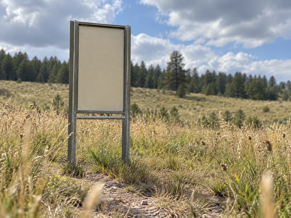
Use the small gravel parking area east of U.S. 385, just east of the visitor center. The trail starts through the gate at the roadside pull-off.
#6 of 11 trails in Wind Cave
Wind Cave National Park, SD
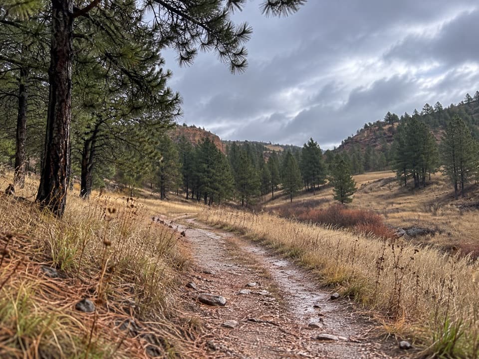
An easy former road beneath limestone cliffs, with nesting birds overhead.
Overview
Map & elevation
Plan your hike

The highest, rockiest slopes around here are a summer buffet for grizzly bears.
Wind Cave Tour Guide
Parkwolf is a GPS audio tour guide for Wind Cave National Park. As you drive, it chimes in with what’s ahead: hidden gems, upcoming stops, history, geology, and wildlife, right through your car’s speakers.
Recorded for this trailhead
Wind Cave Canyon“Up ahead is the Wind Cave Canyon trailhead, for an easy walk along a former road between limestone cliffs. The full three-point-six-mile round trip takes about two hours, with a gradual climb on the return.”
Plays as you drive up to this trailhead in the Parkwolf Wind Cave Tour Guide.
More stories near here in the app
“Fantastic app with many points of information… It’s great to just turn on while you’re driving and it gives you an audio tour of the national Park. We love it!!!!”


Trail guide
Wind Cave Canyon Trail is a 3.6-mile out-and-back on a former road from the gravel trailhead east of U.S. 385 to the old park boundary and back. The dirt road follows a shallow canyon between limestone cliffs and open prairie. It’s an easy walk with a gradual climb on the return; allow about two hours for the hike and stops. The best reason to come is the canyon’s birds and rock walls, not a summit or one big overlook.
Start at the gate beside the gravel pull-off and stay on the main track as other routes branch away. East Bison Flats and Highland Creek are separate hikes. The canyon narrows between those junctions; keep going to the old fence at the boundary, then return the same way. The trail drops roughly 180 feet eastbound, so you’ll gain that back on the walk to the car. Expect uneven patches and a few steeper grades despite the easy overall route. There’s little shade, and summer afternoons can be hot; a morning start is more comfortable. Pets aren’t allowed.
Cliff swallows, canyon wrens and great horned owls nest in the canyon’s limestone walls. Red-headed and Lewis’s woodpeckers use snags on the hillsides. Watch the cliffs and dead trees as the canyon tightens between the East Bison Flats and Highland Creek junctions. For a photo, frame the road leading into that narrower stretch with a limestone wall or snag tree in view.
This route follows a former road that stopped at the park boundary. The fence at the turnaround marks the older line: the 2011 Casey Addition brought 5,556 acres into Wind Cave National Park beyond it. That gives the end of an otherwise simple road walk a little history, then it’s back along the same canyon to the trailhead.
Wildlife
 600 sightingsBisonMost seen around 6 PMSighting map
 59 sightingsElkMost seen around 6 AMSighting map
 258 sightingsPronghornMost seen around 7 AMSighting map
 14 sightingsBighorn SheepMost seen around 6 PMSighting map
 131 sightingsCoyoteMost seen around 7 PMSighting map
 26 sightingsGolden EagleMost seen around noonSighting map
Sighting maps show where each species has been reported across Wind Cave. Wildlife moves, so no sighting is guaranteed.
Keep exploring
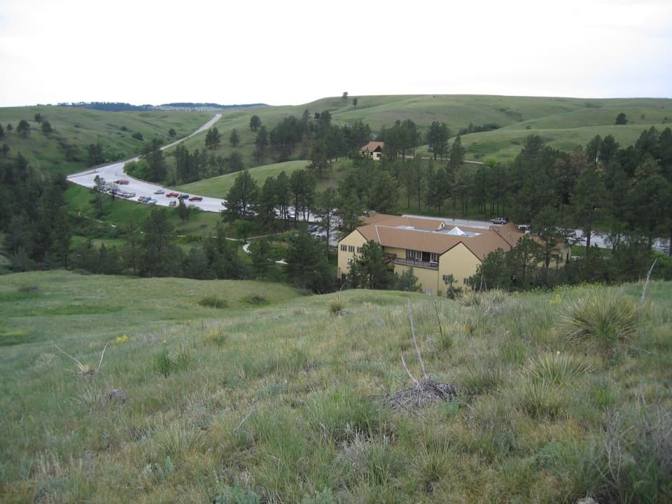 EasyPrairie Vista Nature Trail1 mi · 36 min · 0.6 mi awayA one-mile loop past the Natural Entrance and prairie waysides.
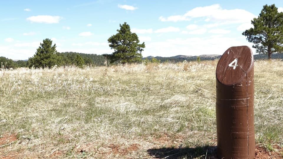 EasyElk Mountain Nature Trail0.7 mi · 45 min · 1.6 mi awayShort prairie-and-pine loop; listen for elk bugles in autumn.
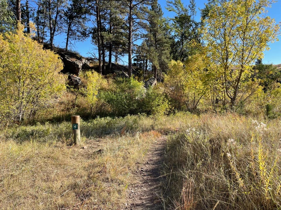 ModerateLookout Point Trail and Centennial Trail Loop4.8 mi · 2.5 hr · 2 mi awayPrairie dogs, creek bridges and one steep climb on a 4.8-mile loop.
 ModerateCentennial Trail: Norbeck to Highland Creek6 mi · 2.8 hr · 2 mi awayA six-mile one-way mix of prairie, ponderosa forest and creek crossings.
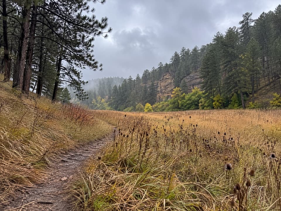 ModerateCold Brook Canyon Trail2.8 mi · 1.5 hr · 2.1 mi awayA short prairie walk with canyon cliffs and a prairie dog town.
 ModerateEast Bison Flats Trail7.4 mi · 4 hr · 2.4 mi awayOpen prairie, a steep canyon dip, and broad Buffalo Gap views.
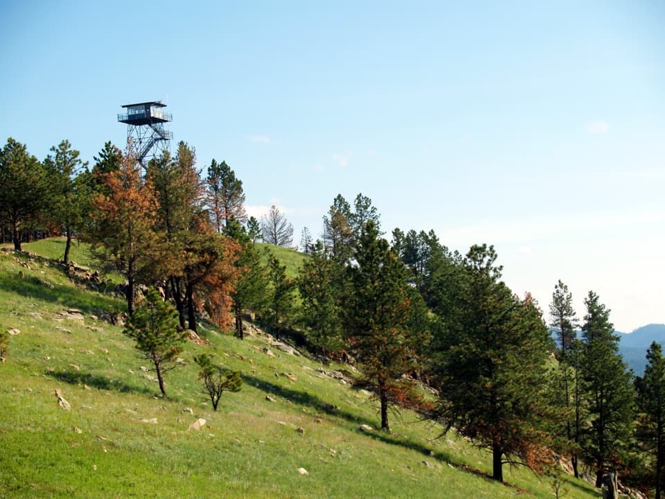 EasyRankin Ridge Nature Trail1 mi · 1 hr · 4.8 mi awayA short ridge loop with a fire tower and wide plains views.
 ModerateBoland Ridge Trail5.2 mi · 2.5 hr · 5 mi awayFour rolling climbs lead to wide views over Red Valley.
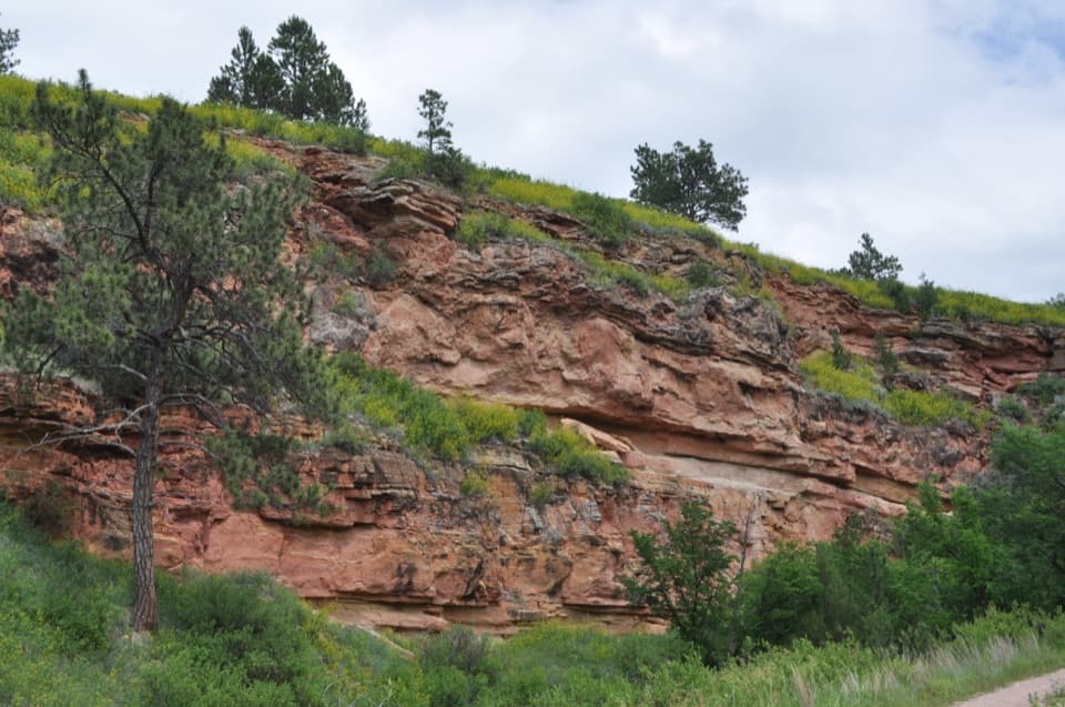 Sight · 0.4 mi awayMinnelusa FormationA short walk to striped rock layers if geology’s your thing.
 Visitor center · 0.6 mi awayWind Cave Visitor CenterStart here for the cave tour and its prairie-side story.
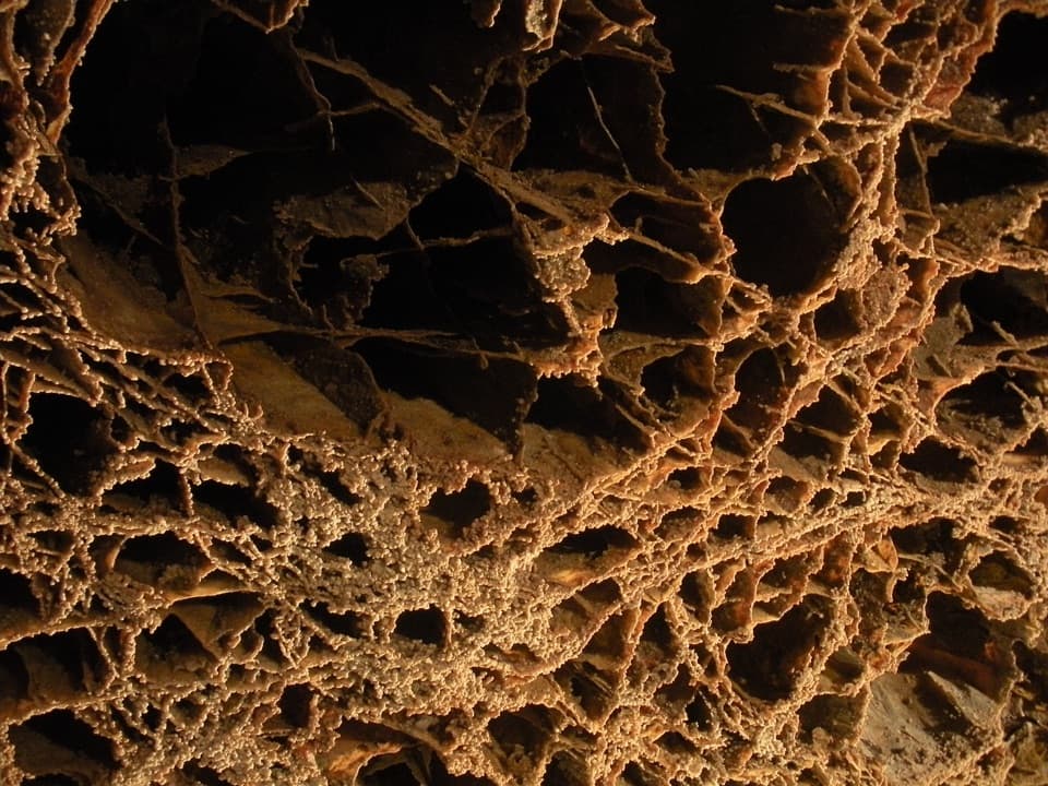 Sight · 0.6 mi awayWind CaveGet underground to see boxwork that’s rare elsewhere and abundant here.
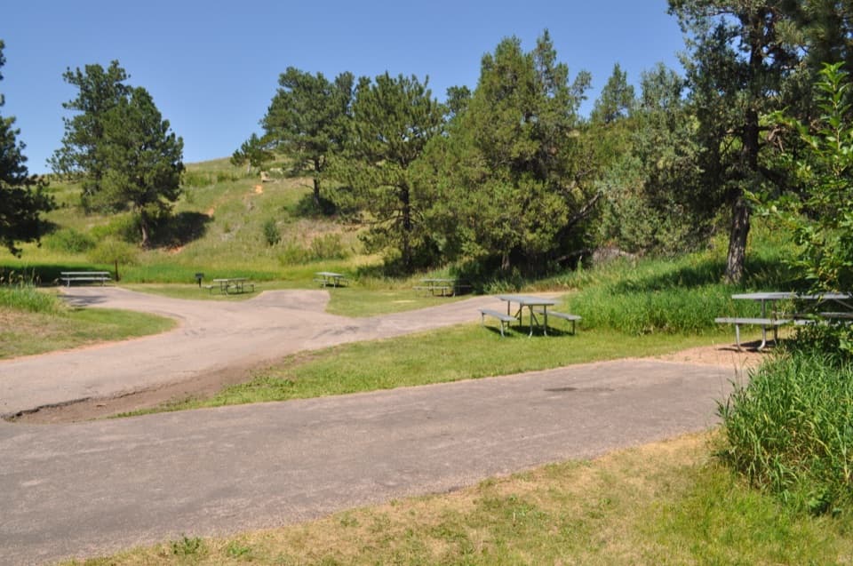 Picnic area · 0.6 mi awayWind Cave Picnic AreaA picnic stop with a 150-yard walk to the natural entrance.
 Historic marker · 0.7 mi awayAlvin McDonald GraveA memorial to the young explorer who mapped miles of Wind Cave.
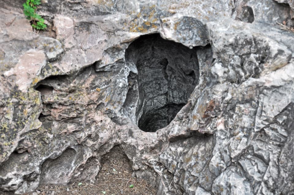 Sight · 0.7 mi awayWind Cave Natural EntranceA ten-inch opening with air you can feel moving.
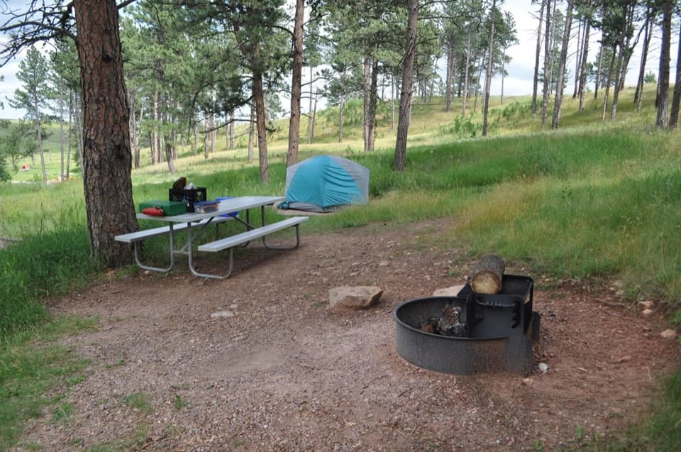 Campground · 1.5 mi awayElk Mountain CampgroundA pine-and-prairie base near cave tours, with seasonal elk bugles.
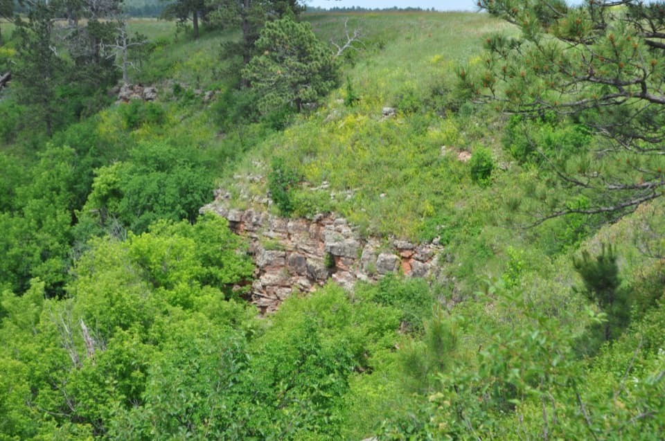 Sight · 2 mi awayDeadwood SandstoneA quick stop to read Wind Cave's Cambrian rock layers
Parkwolf’s Wind Cave ranking

The audio tour guide for the drive, plus offline maps, trails, and wildlife heatmaps for when the signal drops.