1 active Wind Cave alert
- ClosureNatural Entrance Tour Route closed for winterThe Natural Entrance Tour Route is closed for its annual winter season beginning October 1, 2026.Official details

#3 of 10 sights in Wind Cave
Sight · Wind Cave National Park
A steel fire tower marks a summit you can’t climb.
Overview
Map
Plan your stop

The highest, rockiest slopes around here are a summer buffet for grizzly bears.
Wind Cave Tour Guide
Parkwolf is a GPS audio tour guide for Wind Cave National Park. As you drive, it chimes in with what’s ahead: hidden gems, upcoming stops, history, geology, and wildlife, right through your car’s speakers.
Recorded for this place
Rankin Ridge“Rankin Ridge trailhead is coming up, for a one-mile loop to the park's highest point. Allow about an hour, with a rocky climb through ponderosa pines and a wider access road for the return.”
Plays as you drive up to Rankin Ridge Fire Tower in the Parkwolf Wind Cave Tour Guide.
More stories near here in the app
“Fantastic app with many points of information… It’s great to just turn on while you’re driving and it gives you an audio tour of the national Park. We love it!!!!”


Guide
Rankin Ridge Fire Tower is a steel lookout built in 1956 at 5,013 feet, the highest point in Wind Cave National Park. A one-mile trail loop climbs through ponderosa pines to the ridge. The tower is closed to visitors, so you see it from the ground; the real payoff is the structure and the wide summit view. If you're coming to climb the stairs, skip it. For a short ridge walk and a different look at the park, it's a good stop.
The loop's narrower nature trail climbs over rocky ground, then returns on a wider, gated former service road. The trail section can feel exposed, so if drop-offs bother you, use the road as an out-and-back instead. There's parking at the trailhead, but no drinking water on the trail, and pets aren't allowed.
The summit opens over the southeastern Black Hills and the surrounding Great Plains. On a clear day, you can pick out Buffalo Gap and Badlands National Park in the distance. Frame the tower above the pine-covered slope, then turn to the open horizon for a wider landscape shot; the distant view depends on clear conditions.
The tower watched for fires during fire seasons through 1998, and the National Park Service still uses it occasionally to look for fires or monitor severe weather. Lookouts once scanned for smoke; lightning mapping arrays and satellite imagery now help identify possible fires. The ridge is named for William A. Rankin, Wind Cave's first superintendent. This area joined the park in August 1946, when more than 16,000 acres of the former Custer Recreation Demonstration Area were added.
Wildlife
 600 sightingsBisonMost seen around 6 PMSighting map
 59 sightingsElkMost seen around 6 AMSighting map
 258 sightingsPronghornMost seen around 7 AMSighting map
 14 sightingsBighorn SheepMost seen around 6 PMSighting map
 131 sightingsCoyoteMost seen around 7 PMSighting map
 26 sightingsGolden EagleMost seen around noonSighting map
Sighting maps show where each species has been reported across Wind Cave. Wildlife moves, so no sighting is guaranteed.
Keep exploring
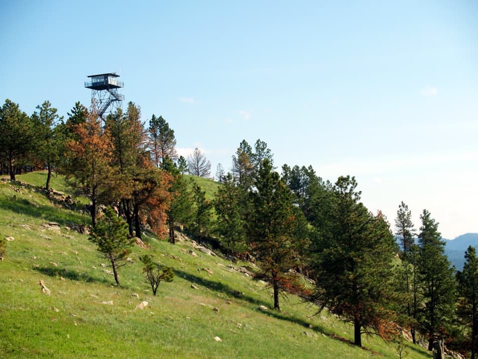 EasyRankin Ridge Nature Trail1 mi · 1 hr · 0.3 mi awayA short ridge loop with a fire tower and wide plains views.
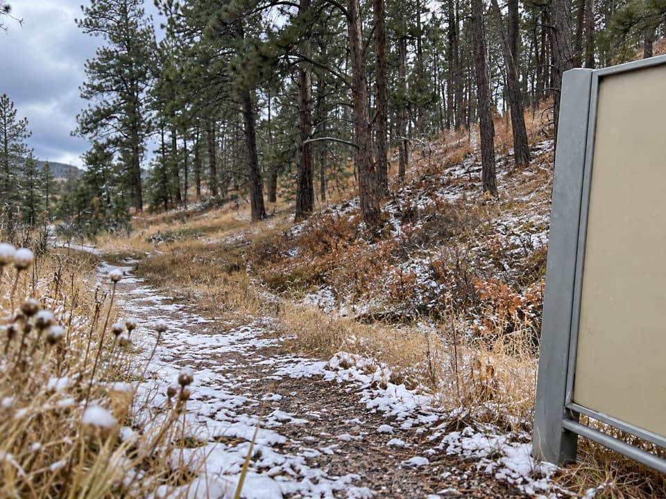 ModerateSanctuary Trail7.2 mi · 3.5 hr · 0.7 mi awaySeven miles of rolling prairie to a large prairie dog town.
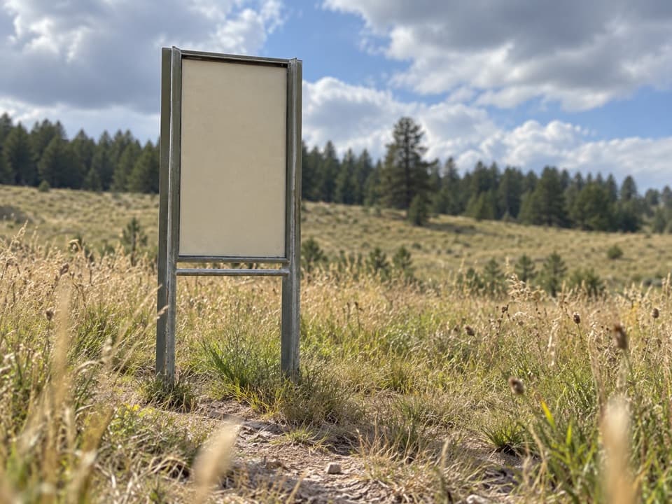 ModerateHighland Creek Trail8.6 mi · 5.5 hr · 3.1 mi away8.6 miles one way across prairie, creek bottoms, and canyons.
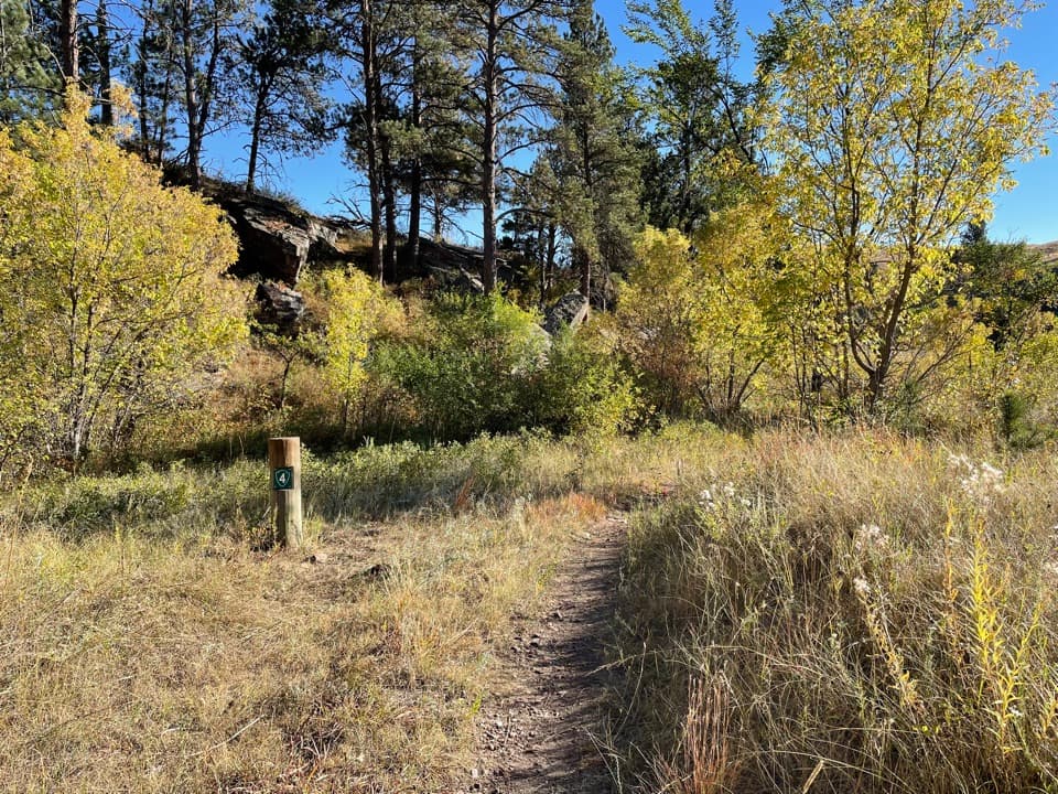 ModerateLookout Point Trail and Centennial Trail Loop4.8 mi · 2.5 hr · 3.1 mi awayPrairie dogs, creek bridges and one steep climb on a 4.8-mile loop.
 ModerateCentennial Trail: Norbeck to Highland Creek6 mi · 2.8 hr · 3.1 mi awayA six-mile one-way mix of prairie, ponderosa forest and creek crossings.
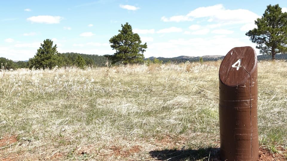 EasyElk Mountain Nature Trail0.7 mi · 45 min · 4.2 mi awayShort prairie-and-pine loop; listen for elk bugles in autumn.
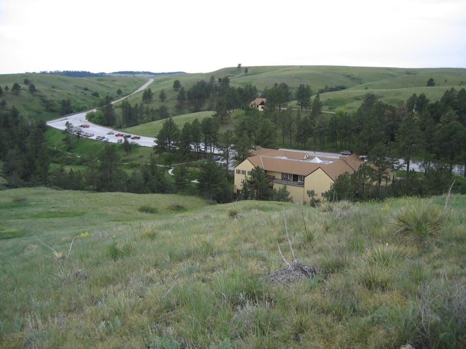 EasyPrairie Vista Nature Trail1 mi · 36 min · 4.8 mi awayA one-mile loop past the Natural Entrance and prairie waysides.
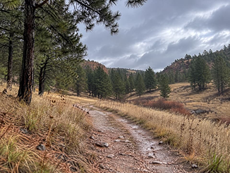 EasyWind Cave Canyon Trail3.6 mi · 2 hr · 5 mi awayAn easy former road beneath limestone cliffs, with nesting birds overhead.
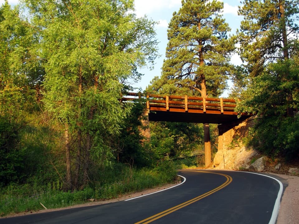 Sight · 1.8 mi awayPigtail BridgeOne road climbs over its own path, then curls back underneath.
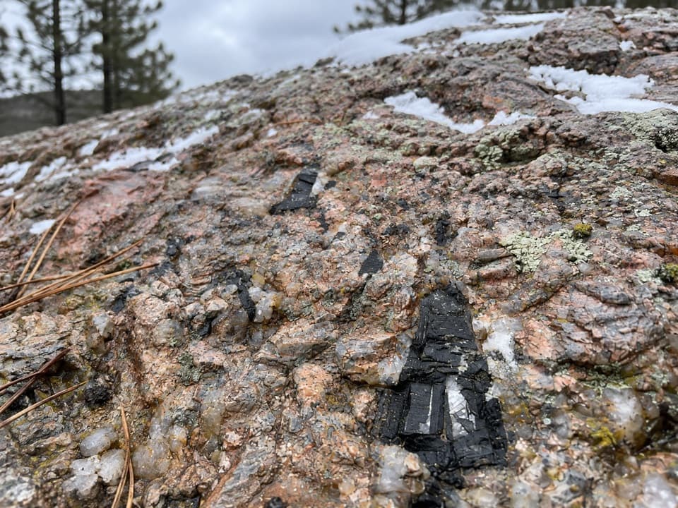 Sight · 2.3 mi awayAncient FoundationsFind pink feldspar, gray quartz and black tourmaline in ancient pegmatite.
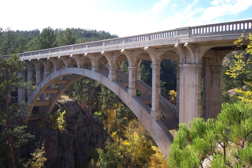 Sight · 2.9 mi awayBeaver Creek BridgeA 1929 arch bridge designed to rise from Beaver Creek Canyon’s walls.
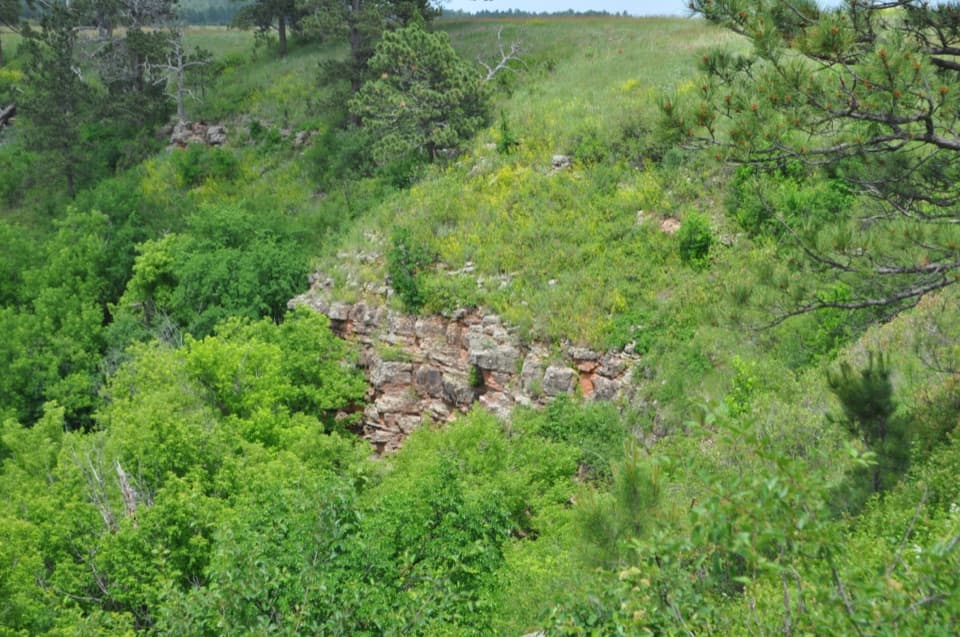 Sight · 3.2 mi awayDeadwood SandstoneA quick stop to read Wind Cave's Cambrian rock layers
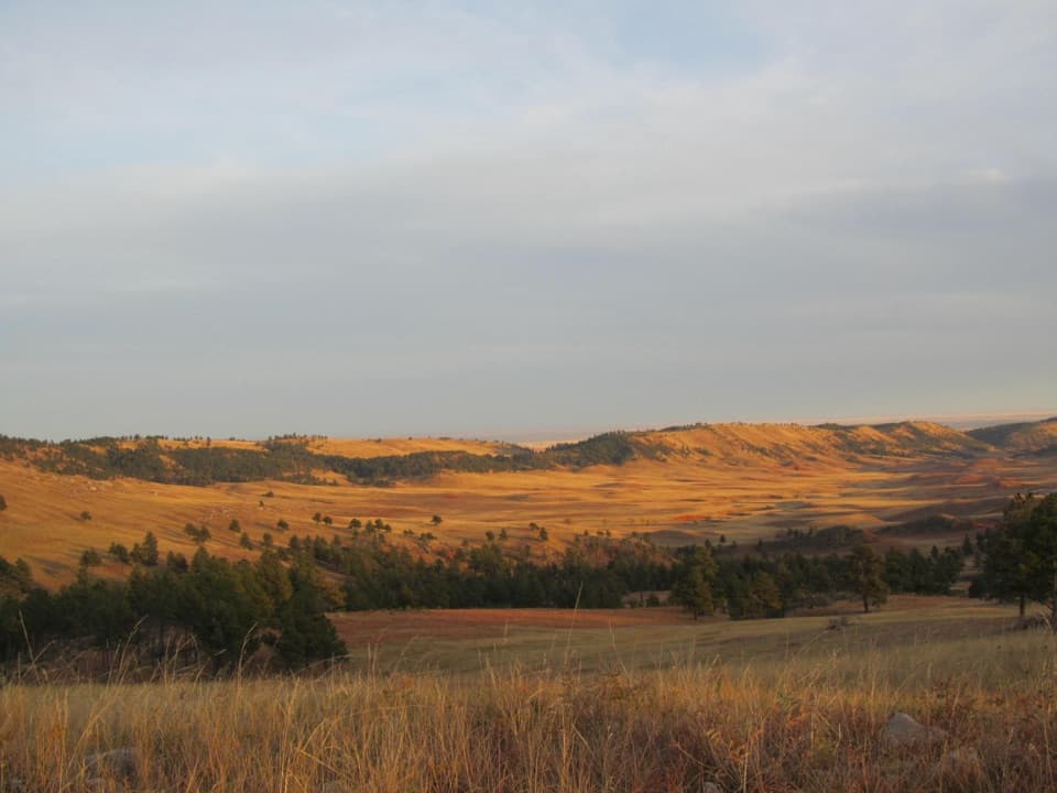 Scenic pullout · 4.1 mi awayHighland Ridge OverlookSee the red valley and hogback that ring the Black Hills.
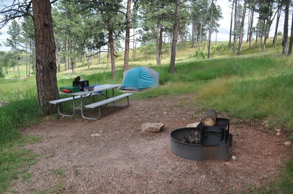 Campground · 4.2 mi awayElk Mountain CampgroundA pine-and-prairie base near cave tours, with seasonal elk bugles.
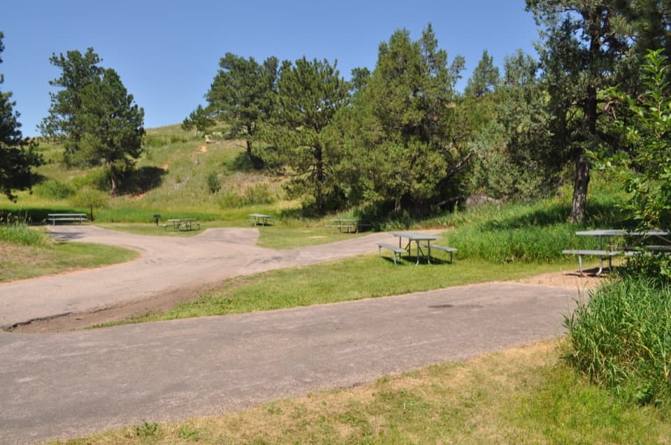 Picnic area · 4.6 mi awayWind Cave Picnic AreaA picnic stop with a 150-yard walk to the natural entrance.
 Historic marker · 4.7 mi awayAlvin McDonald GraveA memorial to the young explorer who mapped miles of Wind Cave.
Parkwolf’s Wind Cave ranking

The audio tour guide for the drive, plus offline maps, trails, and wildlife heatmaps for when the signal drops.