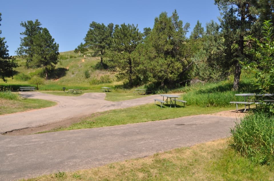
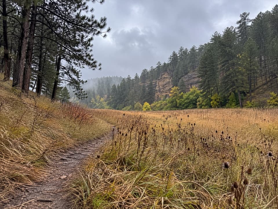
Highland Creek Trail in Wind Cave National Park

#7 of 11 trails in Wind Cave

Wind Cave National Park, SD

Highland Creek Trail

8.6 miles one way across prairie, creek bottoms, and canyons.

Length
8.6mi
Time
5.5hr
Elev. change
463ft
Difficulty
Moderate
  • No dogs
  • High point 4,344 ft

Hear the audio tour

Highland Creek Trail

Overview

About Highland Creek Trail

Why go

  • The park’s longest, most varied hiking route
  • Creek bottoms break up long prairie stretches

Heads up

  • A one-car out-and-back is 17.2 miles
  • Open stretches have little shade and harder-to-spot markers

Map & elevation

The route

Loading the Wind Cave map
Full map
Elevation3,881–4,344 ft
TrailheadHighland Creek Trailhead on NPS 543.62246, -103.42115
Keep this map with you offline in the Parkwolf app

Plan your hike

Before you go

Parking

Start at the small parking area at the sharp bend on NPS 5, about 2.7 miles west of SD 87. Arrange a south-end pickup, or add about 1.1 miles on Wind Cave Canyon Trail to reach its trailhead; the Highland Creek route itself ends at the canyon junction.

Safety

There is no drinking water along the route. Bison and other wildlife use this backcountry; stay at least 25 yards away and give bison more room. The long southern prairie stretch has sparse, harder-to-spot markers.

1 active Wind Cave alert

  • ClosureNatural Entrance Tour Route closed for winterThe Natural Entrance Tour Route is closed for its annual winter season beginning October 1, 2026.Official details
Wind Cave alerts
A park ranger sits on a dash-mounted phone, talking, as Parkwolf’s Tour Guide plays “Army Cutworm Moths: A Grizzly Bear Buffet” on Grand Loop Road below Dunraven Pass in Yellowstone
Parkwolf Tour GuideThe highest, rockiest slopes around here are a summer buffet for grizzly bears.

Wind Cave Tour Guide

Your drive to Highland Creek Trail, narrated.

Parkwolf is a GPS audio tour guide for Wind Cave National Park. As you drive, it chimes in with what’s ahead: hidden gems, upcoming stops, history, geology, and wildlife, right through your car’s speakers.

Recorded for this trailhead

Highland Creek Trail
0:00 / 0:29
“You're nearing Highland Creek trailhead, for a long, moderately strenuous hike through prairie, pine hillsides and wooded creek bottoms.”

Plays as you drive up to this trailhead in the Parkwolf Wind Cave Tour Guide.

More stories near here in the app

  • Frostwork Without the Frost
  • Highland Ridge Overlook
  • Bison from the Bronx
  • A Place of Emergence
  • 28 audio storiesacross Wind Cave’s roads, triggered by GPS as you drive
  • Wildlife heatmapsfor Bison, Elk, Pronghorn, and 13 more
  • Works offlinemaps, 11 trails, 14 places, and audio download before you lose signal
  • CarPlay readysimple controls built for the drive
★★★★★
“Fantastic app with many points of information… It’s great to just turn on while you’re driving and it gives you an audio tour of the national Park. We love it!!!!”
JMJamesApp Store review
Download Parkwolf on the App StoreGet Parkwolf on Google Play

4.7 from 8,600+ ratings

Trail guide

Hiking Highland Creek Trail

Is this the long hike you want?Highland Creek Trail is an 8.

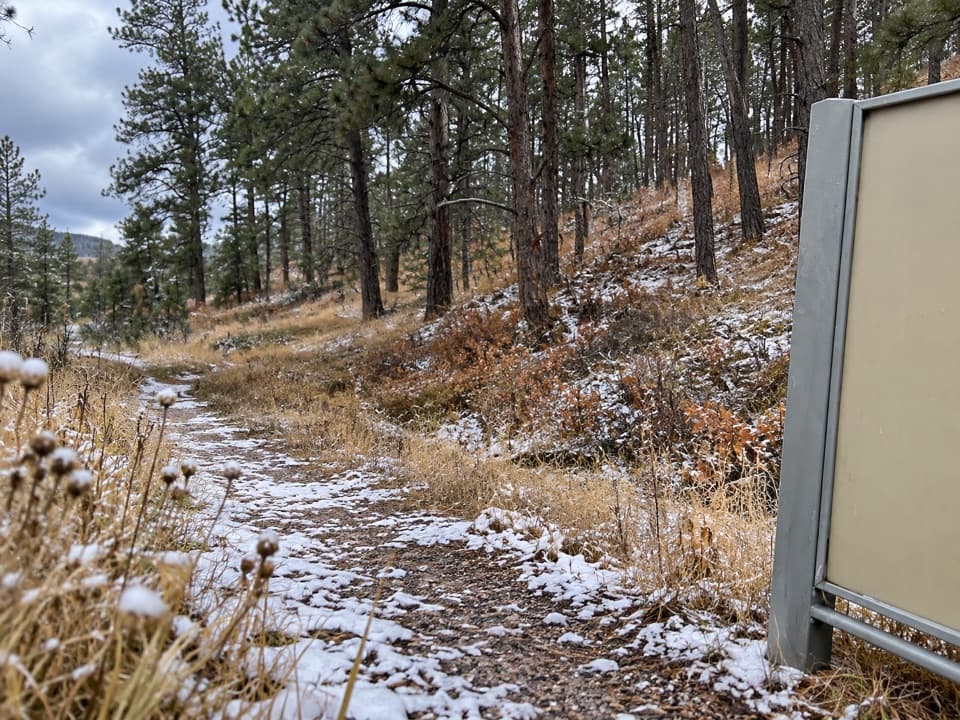
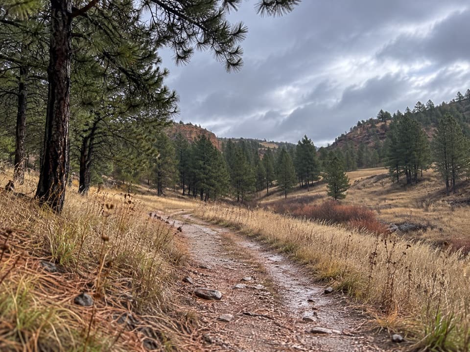
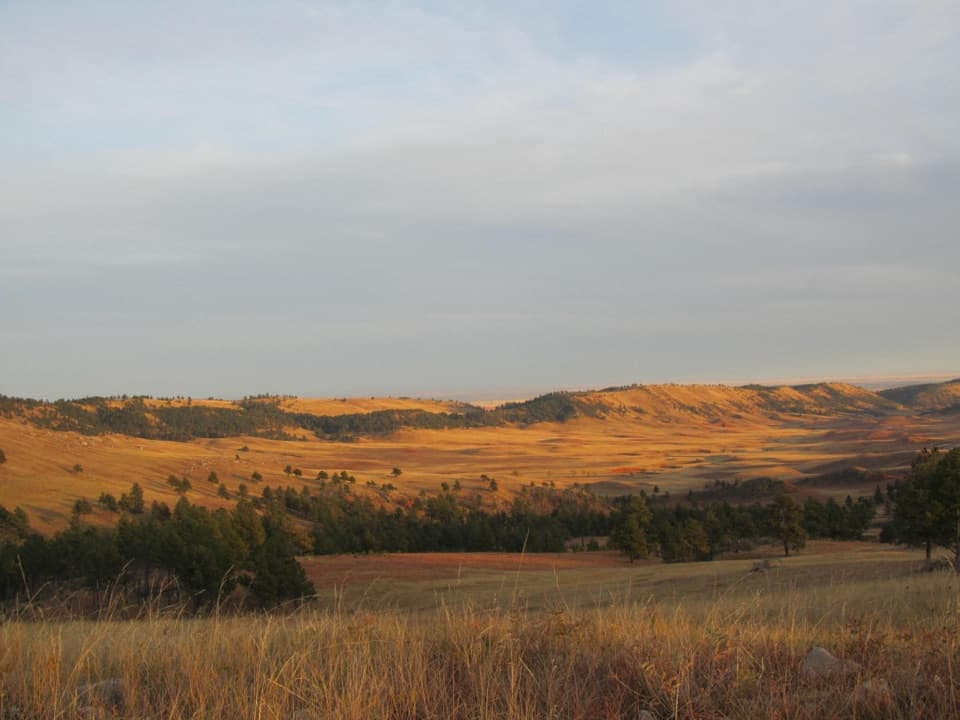
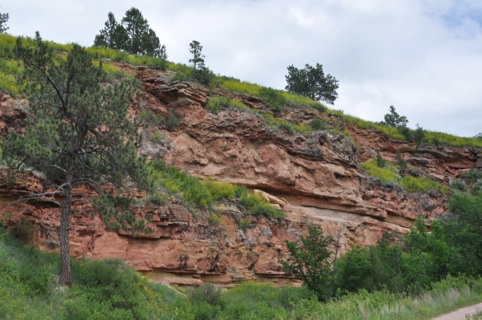
Highland Creek Trail is an 8.6-mile one-way route from NPS 5 south to the Wind Cave Canyon junction. It is the park’s longest and most varied trail, crossing open prairie, ponderosa hillsides and wooded creek bottoms. The National Park Service calls it moderately strenuous; allow about five to six hours for the trail itself. This is a through-hike, not a loop. Arrange a pickup near the south end, or walk another 1.1 miles down Wind Cave Canyon Trail to its trailhead. With one car, hiking back to NPS 5 makes a 17.2-mile day before any extra connector.

The variety is the payoff, but much of the route is open and exposed. Choose it for a full backcountry day, not a shaded stroll or a short loop. The mapped 8.6 miles end at the canyon junction; the 1.1-mile walk to the Wind Cave Canyon trailhead is separate.

Across the northern prairieThe north trailhead is on NPS 5 at a sharp bend, where the small parking area is easy to miss…

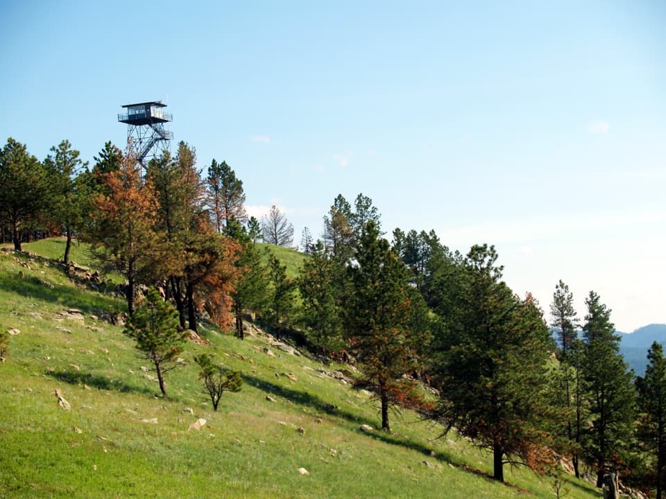
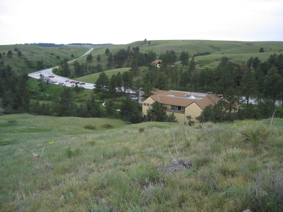
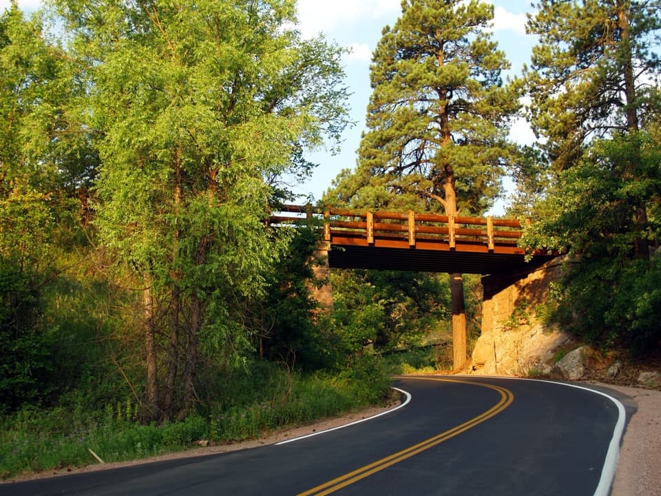
The north trailhead is on NPS 5 at a sharp bend, where the small parking area is easy to miss if you expect a developed lot. The route starts through open mixed-grass prairie. After roughly a third of a mile, the ground rolls more noticeably. At about 1.6 miles it drops to Highland Creek for the route’s first creek crossing. The path then bends away and back through prairie and ponderosa country. Shade is patchy, so this stretch can feel exposed on a hot, cloudless day.

Into the creek bottomsAt about 3.

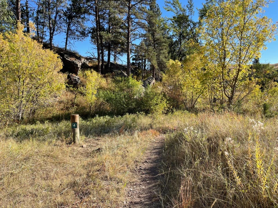
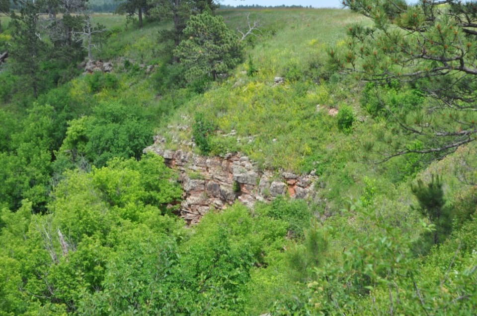
At about 3.3 miles, Highland Creek reaches the Sanctuary Trail junction; keep following Highland Creek south. Rolling open ground gives way to a roughly 275-foot descent into the wooded Beaver Creek bottom. This is one of the cooler, more sheltered parts of the walk, and the route crosses Beaver Creek before meeting the Lookout Point connector. Highland Creek shares about 0.6 mile with that trail as it climbs roughly 260 feet out of the canyon; pay attention at the junctions so you stay on the through-route.

The open southern stretchBeyond Lookout Point, the trail returns to open prairie, with long views and few landmarks…

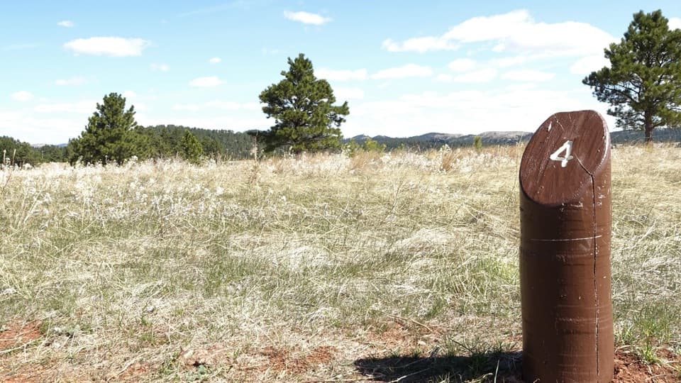
Beyond Lookout Point, the trail returns to open prairie, with long views and few landmarks close by. A field report places a prairie-dog town and a large bison wallow in this stretch, though wildlife is never guaranteed. Trail markers can be harder to pick out here, so scan ahead for the NPS 7 posts instead of following an uncertain line across the grass. The last descent drops about 300 feet over roughly 0.6 mile into Wind Cave Canyon, where Highland Creek ends at the canyon-trail junction.

Water, wildlife and permitsThere is no drinking water along the route.

There is no drinking water along the route. Carry enough for the full day, including the southern connector if you use it. Bison roam this backcountry and can be dangerous; stay at least 25 yards from wildlife and farther from bison. Pets are not allowed on this trail. Overnight backcountry camping requires a free permit from the visitor center.

Wildlife

Wildlife in Wind Cave

All Wind Cave wildlife maps

Sighting maps show where each species has been reported across Wind Cave. Wildlife moves, so no sighting is guaranteed.

Keep exploring

Near Highland Creek Trail

See it all on the map

Trails that start nearby

Places near the trailhead

Parkwolf’s Wind Cave ranking

Top-rated trails in Wind Cave

All 11 trails
  1. 1Rankin Ridge Nature TrailEasy · 1 mi
  2. 2Lookout Point Trail and Centennial Trail LoopModerate · 4.8 mi
  3. 3Cold Brook Canyon TrailModerate · 2.8 mi
  4. 4Boland Ridge TrailModerate · 5.2 mi
  5. 5Prairie Vista Nature TrailEasy · 1 mi
  6. 6Wind Cave Canyon TrailEasy · 3.6 mi

Take Parkwolf to Wind Cave.

The audio tour guide for the drive, plus offline maps, trails, and wildlife heatmaps for when the signal drops.

4.7 from 8,600+ ratings

Download Parkwolf on the App StoreGet Parkwolf on Google Play