Parking
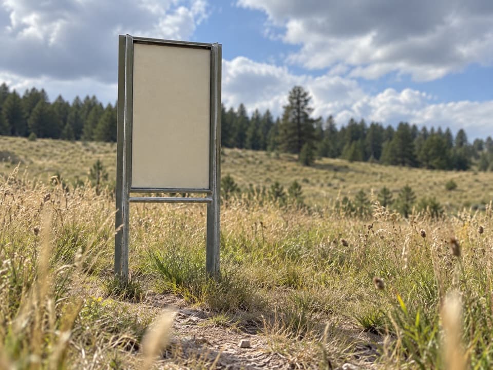
Use the small Lookout Point Trailhead lot on South Dakota 87, north of US 385. It holds roughly eight cars and may fill at busy times.
#2 of 11 trails in Wind Cave
Wind Cave National Park, SD
Prairie dogs, creek bridges and one steep climb on a 4.8-mile loop.
Overview
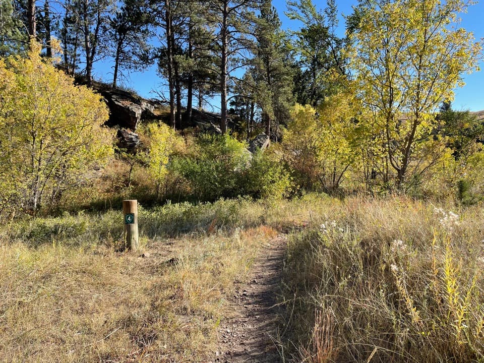
This is a 4.8-mile loop from the Lookout Point trailhead on South Dakota 87, usually a two-to-three-hour outing. It links open mixed-grass prairie, ponderosa pine, and a shaded stretch along Beaver Creek, with wooden footbridges and a short, steep climb. Start on Lookout Point Trail, then use part of Highland Creek Trail and Centennial Trail to close the circuit. You may see it listed as 4.5 miles; the complete mapped loop is about 4.8, so plan for the longer distance. It is a good choice when you want one moderate hike with several different landscapes.
 Parkwolf’s verdictIs this the hike for you?
Map & elevation
Plan your hike

The highest, rockiest slopes around here are a summer buffet for grizzly bears.
Wind Cave Tour Guide
Parkwolf is a GPS audio tour guide for Wind Cave National Park. As you drive, it chimes in with what’s ahead: hidden gems, upcoming stops, history, geology, and wildlife, right through your car’s speakers.
Recorded for this trailhead
Beaver Creek Bridge“You're coming up on the Beaver Creek Bridge area. For a quick stop, use the roadside pullout near Centennial Trailhead to see the arches across the canyon.”
Plays as you drive up to this trailhead in the Parkwolf Wind Cave Tour Guide.
More stories near here in the app
“Fantastic app with many points of information… It’s great to just turn on while you’re driving and it gives you an audio tour of the national Park. We love it!!!!”


Trail guide
The first stretch crosses rolling prairie on a narrow path, with low wooden markers at intervals and patches of pine. Lookout Point is a high spot rather than a built overlook. A short spur takes you up for a broad view over the grassland and the American Elk prescribed-burn area from 2010. The ridge is open and exposed to sun; carry water from the start, since there is none on the trail. For a photo, include some prairie in the foreground so the ridges and the old burn area keep their shape in the distance.
The route drops off the prairie toward Beaver Creek, then enters a more enclosed corridor beneath limestone and sandstone walls. The connector has the loop’s steepest descent and climb; loose rock or mud can make that short pitch slower than the rest. Several small wooden bridges cross the creek, and the scenery changes from dry grass to trees and running water. Take your time at the junctions: the loop uses three named trails, and choosing the wrong branch can send you farther along a through-route.
A sink-like opening across the creek has been described as Beaver Creek Sink. It is an interesting feature to look for from the trail, but the suggested connection to Wind Cave has not been established. Treat it as a creek-side curiosity, not proof of a passage into the cave.
Prairie dog towns sit along the open sections, and their warning calls are often part of the walk. Bison are also seen near this route and around creek crossings; they roam freely, so do not assume a trail or bridge is clear. Give wildlife plenty of room and wait or turn back if an animal blocks the way. Elk and pronghorn live in the broader park landscape too, though sightings are never guaranteed.
The small trailhead lot on Highway 87 holds roughly eight cars and can fill at busy times. The trail has no drinking water, and there is no confirmed restroom at the lot, so plan your stop before setting out. Expect ticks and poison ivy in the vegetation; long pants and closed footwear help. Pets are not allowed on this route.
Wildlife
 600 sightingsBisonMost seen around 6 PMSighting map
 59 sightingsElkMost seen around 6 AMSighting map
 258 sightingsPronghornMost seen around 7 AMSighting map
 14 sightingsBighorn SheepMost seen around 6 PMSighting map
 128 sightingsCoyoteMost seen around 7 PMSighting map
 26 sightingsGolden EagleMost seen around noonSighting map
Sighting maps show where each species has been reported across Wind Cave. Wildlife moves, so no sighting is guaranteed.
Keep exploring
 ModerateCentennial Trail: Norbeck to Highland Creek6 mi · 2.8 hr · At the trailheadA six-mile one-way mix of prairie, ponderosa forest and creek crossings.
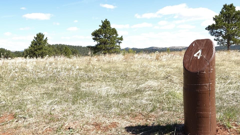 EasyElk Mountain Nature Trail0.7 mi · 45 min · 1.2 mi awayShort prairie-and-pine loop; listen for elk bugles in autumn.
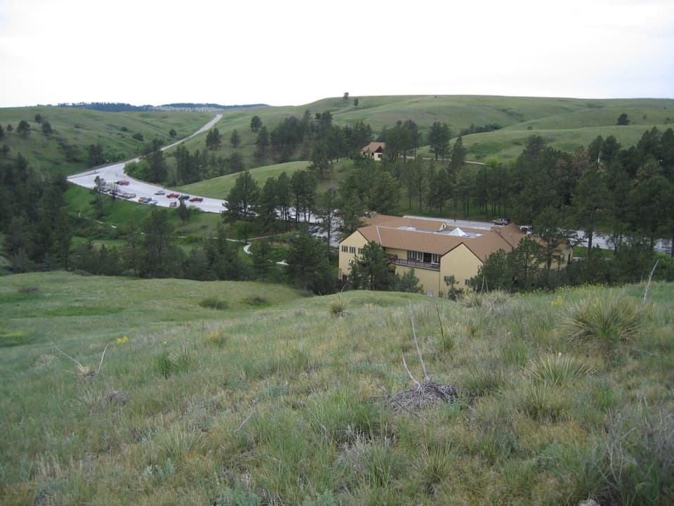 EasyPrairie Vista Nature Trail1 mi · 36 min · 1.7 mi awayA one-mile loop past the Natural Entrance and prairie waysides.
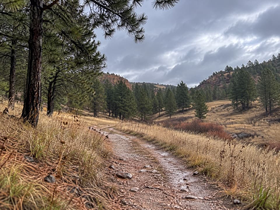 EasyWind Cave Canyon Trail3.6 mi · 2 hr · 2 mi awayAn easy former road beneath limestone cliffs, with nesting birds overhead.
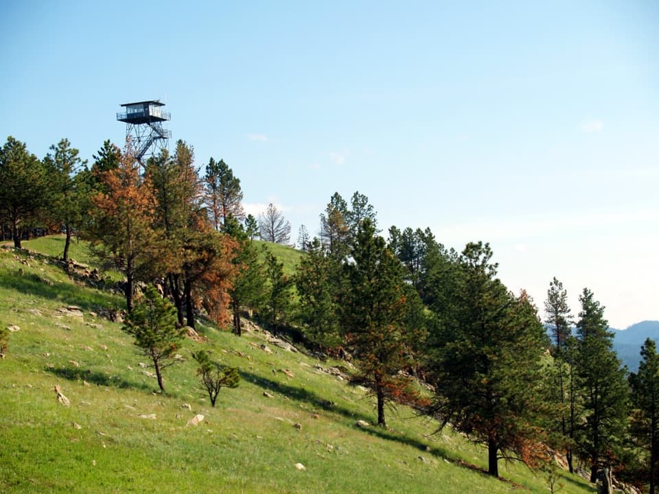 EasyRankin Ridge Nature Trail1 mi · 1 hr · 2.9 mi awayA short ridge loop with a fire tower and wide plains views.
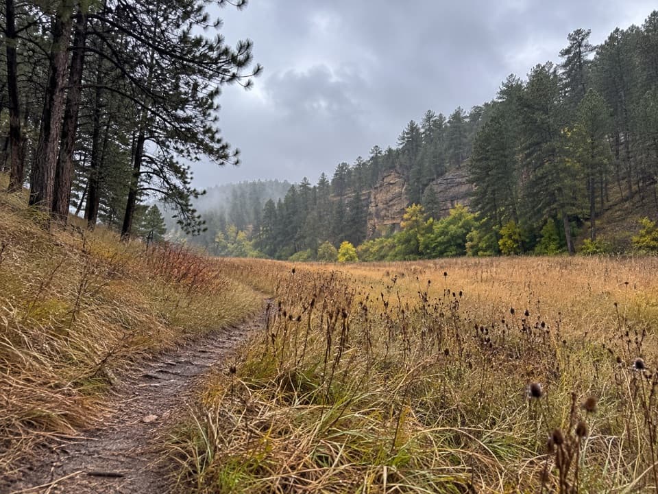 ModerateCold Brook Canyon Trail2.8 mi · 1.5 hr · 3.3 mi awayA short prairie walk with canyon cliffs and a prairie dog town.
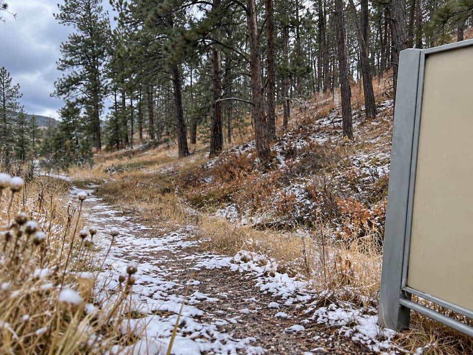 ModerateSanctuary Trail7.2 mi · 3.5 hr · 3.8 mi awaySeven miles of rolling prairie to a large prairie dog town.
 ModerateEast Bison Flats Trail7.4 mi · 4 hr · 4.2 mi awayOpen prairie, a steep canyon dip, and broad Buffalo Gap views.
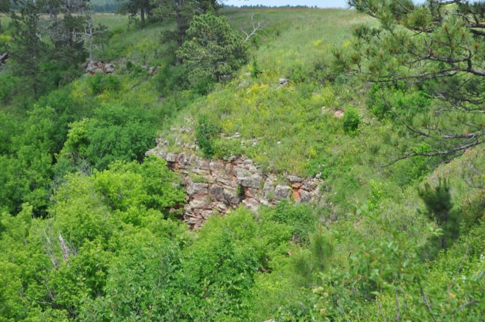 Sight · 0.1 mi awayDeadwood SandstoneA quick stop to read Wind Cave's Cambrian rock layers
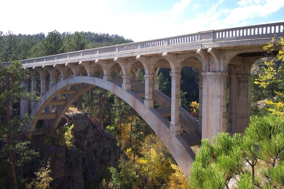 Sight · 0.3 mi awayBeaver Creek BridgeA 1929 arch bridge designed to rise from Beaver Creek Canyon’s walls.
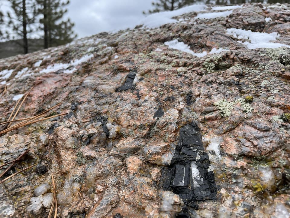 Sight · 0.8 mi awayAncient FoundationsFind pink feldspar, gray quartz and black tourmaline in ancient pegmatite.
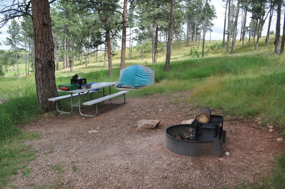 Campground · 1.1 mi awayElk Mountain CampgroundA pine-and-prairie base near cave tours, with seasonal elk bugles.
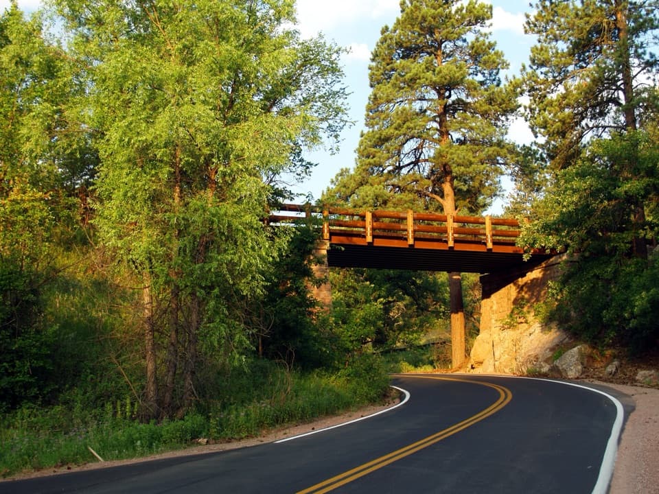 Sight · 1.5 mi awayPigtail BridgeOne road climbs over its own path, then curls back underneath.
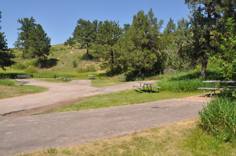 Picnic area · 1.6 mi awayWind Cave Picnic AreaA picnic stop with a 150-yard walk to the natural entrance.
 Historic marker · 1.6 mi awayAlvin McDonald GraveA memorial to the young explorer who mapped miles of Wind Cave.
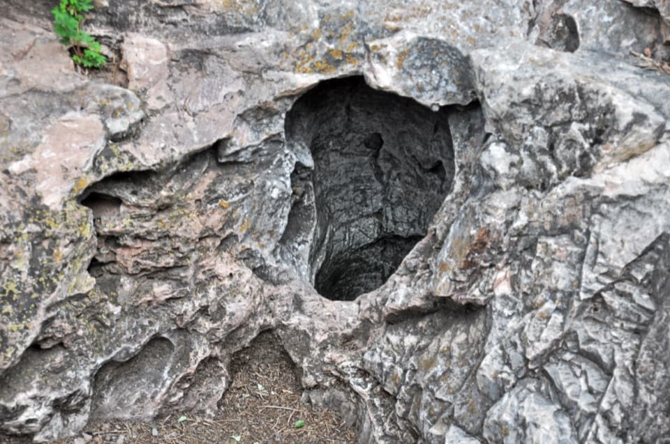 Sight · 1.6 mi awayWind Cave Natural EntranceA ten-inch opening with air you can feel moving.
Parkwolf’s Wind Cave ranking
The audio tour guide for the drive, plus offline maps, trails, and wildlife heatmaps for when the signal drops.