Overview
About Jack Creek Rest Area
Why stop
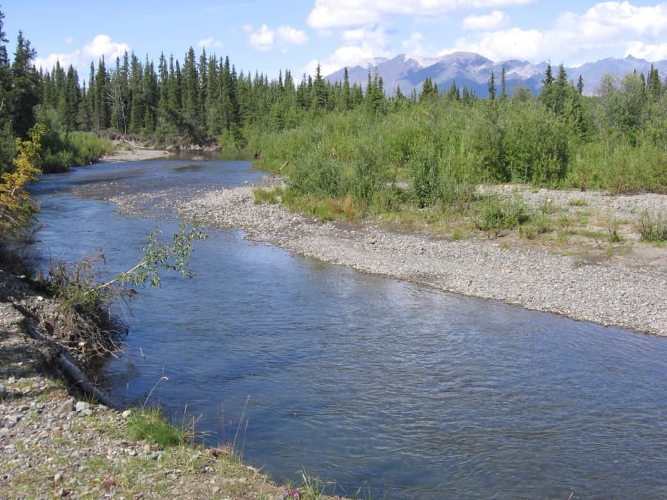
- Creekside campsites with fishing access.
- Dall sheep may be visible on nearby slopes.
Heads up
- No potable water after Slana, and the road is rough and unpaved.
Map
Where it is

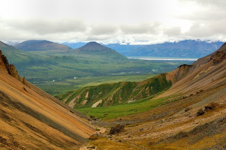
The highest, rockiest slopes around here are a summer buffet for grizzly bears.
Wrangell-St. Elias Tour Guide
Your drive to Jack Creek Rest Area, narrated.
Parkwolf is a GPS audio tour guide for Wrangell-St. Elias National Park. As you drive, it chimes in with what’s ahead: hidden gems, upcoming stops, history, geology, and wildlife, right through your car’s speakers.
See the Wrangell-St. Elias audio tourRecorded for this place
Jack Creek Rest Area“Jack Creek Rest Area is coming up, a small creekside stop for a picnic or a simple overnight camp. There's parking for just three vehicles, and camping is first come, first served, with no drinking water.”
Plays as you drive up to Jack Creek Rest Area in the Parkwolf Wrangell-St. Elias Tour Guide.
More stories near here in the app
- Skookum Volcano Trail
- Clues to a Golden Eagle
- Life Inside Glacier Ice
- A Beak Built for Cones
- 81 audio storiesacross Wrangell-St. Elias’s roads, triggered by GPS as you drive
- Wildlife heatmapsfor Grizzly Bear, Moose, Humpback Whale, and 13 more
- Works offlinemaps, 28 trails, 62 places, and audio download before you lose signal
- CarPlay readysimple controls built for the drive
“Fantastic app with many points of information… It’s great to just turn on while you’re driving and it gives you an audio tour of the national Park. We love it!!!!”


Guide
More about Jack Creek Rest Area
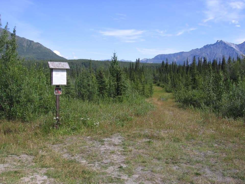
A small campsite on Nabesna RoadJack Creek Rest Area is a primitive roadside camping stop at mile 35.3 on Nabesna Road.
Jack Creek Rest Area is a primitive roadside camping stop at mile 35.3 on Nabesna Road. Several sites sit beside Jack Creek, with fishing access, two picnic tables, a vault toilet and parking for up to three vehicles. It works as a simple place to stretch the drive or stop overnight. Camping is first come, first served, with no reservations.
Plan the drive and waterNabesna Road runs about 42 miles from Slana.
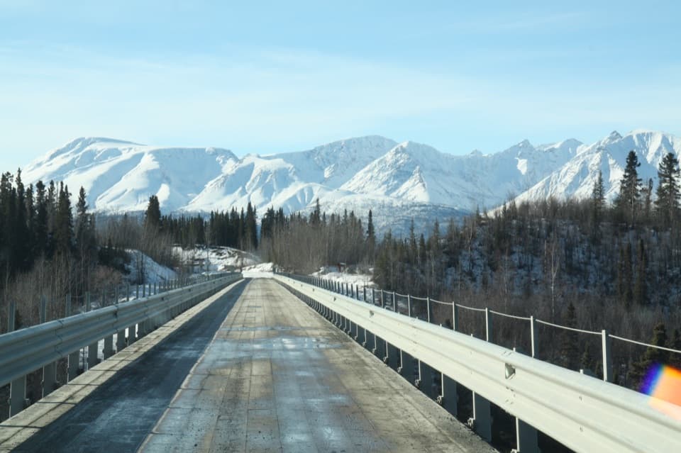
Nabesna Road runs about 42 miles from Slana. It is unpaved and intermittently maintained, with rough stretches and washouts at creek crossings. High clearance and four-wheel drive are recommended. There is no fuel in Slana or along the road, and no potable water after Slana, so fuel up in a nearby community and carry treated water. Check with the Slana Ranger Station for current road conditions before heading in.
Watch the mountainsidesLook over the next few miles of mountainside for small flocks of Dall sheep.
Look over the next few miles of mountainside for small flocks of Dall sheep. They usually stay on high ridges, but in this area they sometimes come down to springs and mineral licks. A sighting is never guaranteed, so treat it as a good reason to scan the slopes rather than a sure stop.
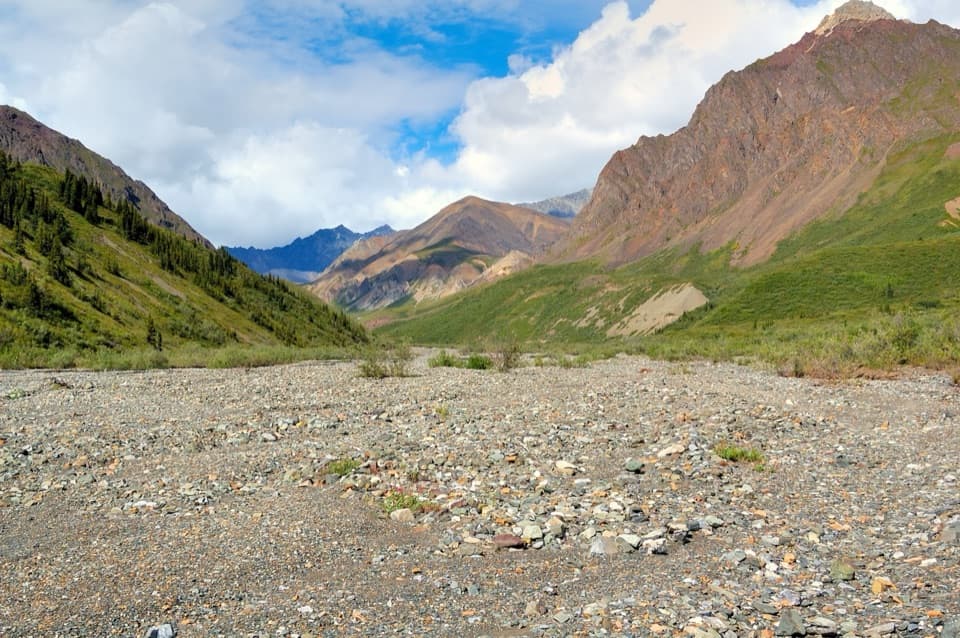
Follow the water eastJack Creek drains east from the Nabesna Road watershed divide into the Nabesna River, then the…
Jack Creek drains east from the Nabesna Road watershed divide into the Nabesna River, then the Tanana and Yukon rivers, which reach the Bering Sea. Water on the other side of the divide runs toward the Copper River and Gulf of Alaska. The crossing is a small reminder that the road passes between two very different watersheds.
Wildlife
Wildlife in Wrangell-St. Elias
 113 sightingsGrizzly BearMost seen around 9 PMSighting map
 66 sightingsMooseMost seen around 8 PMSighting map
 21 sightingsHumpback WhaleMost seen around 1 PMSighting map
 46 sightingsSteller Sea LionMost seen around 11 AMSighting map
 39 sightingsBlack BearMost seen around 8 PMSighting map
 48 sightingsBald EagleMost seen around 5 PMSighting map
Sighting maps show where each species has been reported across Wrangell-St. Elias. Wildlife moves, so no sighting is guaranteed.