Parking
Small parking area at Lost Creek Trailhead, Nabesna Road mile 31.2, just beyond the creek crossing. The unpaved road is rough; high clearance and four-wheel drive are recommended. Fuel is not available in Slana.
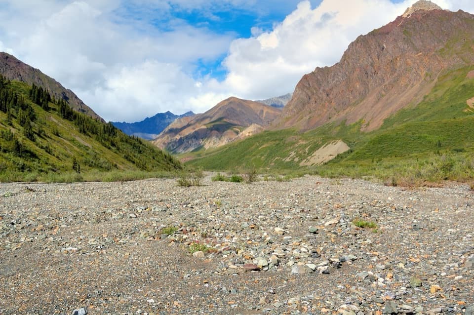
Wrangell-St. Elias National Park, AK
A rocky creekbed hike into open tundra and Dall sheep country.
Overview
Map & elevation
Plan your hike

The highest, rockiest slopes around here are a summer buffet for grizzly bears.
Wrangell-St. Elias Tour Guide
Parkwolf is a GPS audio tour guide for Wrangell-St. Elias National Park. As you drive, it chimes in with what’s ahead: hidden gems, upcoming stops, history, geology, and wildlife, right through your car’s speakers.
See the Wrangell-St. Elias audio tourRecorded for this trailhead
Lost Creek’s Tundra Hike“You're approaching the Lost Creek trailhead, where a rocky creek bed leads into open alpine tundra. The full lower route is about fourteen miles round trip, around seven hours, so this suits a full hiking day.”
Plays as you drive up to this trailhead in the Parkwolf Wrangell-St. Elias Tour Guide.
More stories near here in the app
“Fantastic app with many points of information… It’s great to just turn on while you’re driving and it gives you an audio tour of the national Park. We love it!!!!”


Trail guide
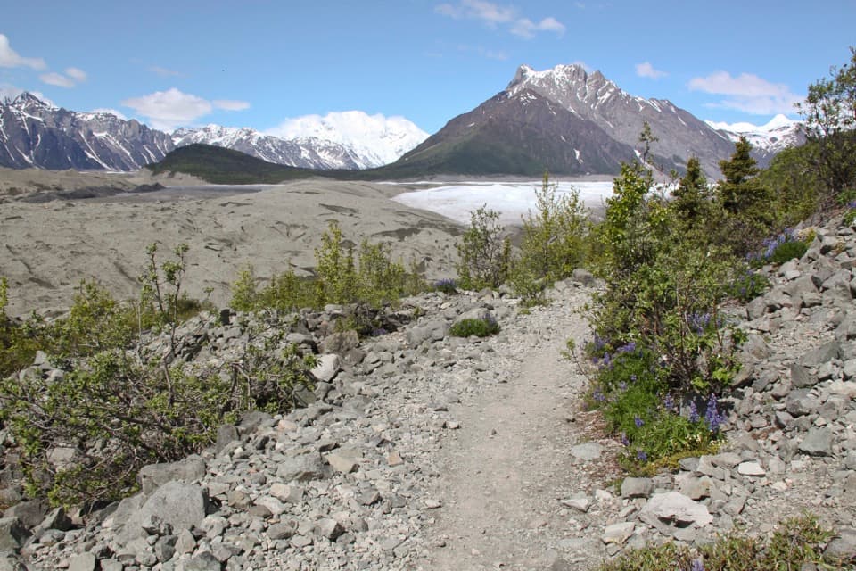
Lost Creek Trail is a rough out-and-back into the lower Lost Creek drainage from Nabesna Road. The maintained route is about 7 miles one way, so walking to the end of the mapped lower trail and back is about 14 miles. Plan on roughly 7 hours, with a full day for crossings and stops. You start on a short path through spruce, then follow a wide creekbed into alpine tundra. This suits hikers who want a long backcountry day and can handle uneven rock and changing water. The pass is beyond this route: it adds about 3 miles each way for a roughly 20-mile, 8–10-hour out-and-back. The Trail Creek loop is a separate backpacking trip.
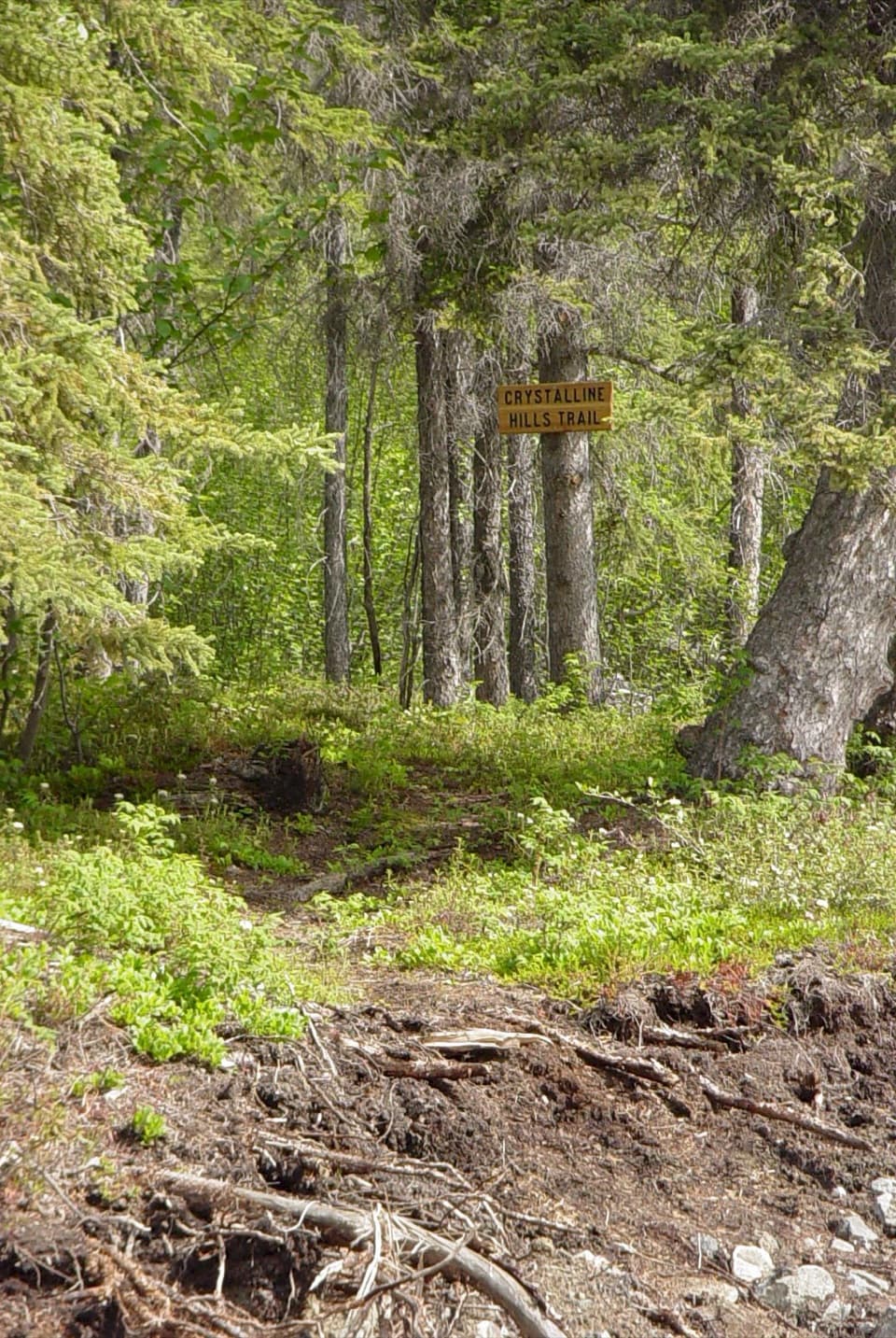
Start at the small mile-31.2 parking area and follow the path through the woods. It fades into a broad creekbed that is easy to travel but rough underfoot. The lower 5–6 miles are especially rocky, with loose stones that can wear on your ankles. There are several creek crossings and no bridges. As the valley narrows, the route goes around an impassable ravine on the west side before returning to the creekbed. If you continue beyond the lower trail toward the pass, the tread disappears and route-finding becomes necessary.
Lost Creek can be low in the morning and rise several feet over a warm day; rain can raise it quickly too. A ford that feels manageable early may be impassable on the way back. Check conditions before committing to a crossing, and be ready to turn around. The rocky creekbed is the main physical tax on this hike; occasional scree scrambling is described farther up the drainage.
The payoff is the wide-open drainage, with alpine tundra, summer flowers, and big mountain slopes. Dall sheep favor the area, though a sighting is never guaranteed, and bears are present. The broad gravel bed makes a strong foreground for the red and green slopes beyond it; that view tells the story of the hike better than a close shot of rocks.
The trailhead is just beyond where Lost Creek crosses Nabesna Road. Parking is small, and the unpaved road is rough; high clearance and four-wheel drive are recommended. Fuel is not available in Slana, so arrive with enough for the drive back. Food service, drinking water, and toilets are not listed at the trailhead. Dogs are allowed on trails and in the backcountry on leash. ATV use is also permitted on this route.
Wildlife
 113 sightingsGrizzly BearMost seen around 9 PMSighting map
 66 sightingsMooseMost seen around 8 PMSighting map
 21 sightingsHumpback WhaleMost seen around 1 PMSighting map
 46 sightingsSteller Sea LionMost seen around 11 AMSighting map
 39 sightingsBlack BearMost seen around 8 PMSighting map
 48 sightingsBald EagleMost seen around 5 PMSighting map
Sighting maps show where each species has been reported across Wrangell-St. Elias. Wildlife moves, so no sighting is guaranteed.
Keep exploring
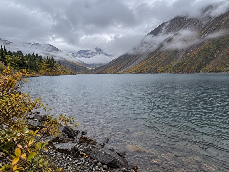 ChallengingSoda Lake Trail29 mi · 2.5 days · At the trailheadA turquoise landslide lake, reached by a remote creek-crossing trek.
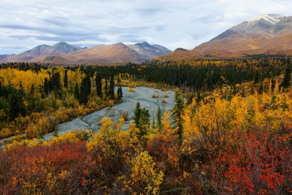 ModerateTrail Creek Trail12 mi · 7 hr · 1.8 mi awayA rough creekbed walk into a narrow alpine canyon.
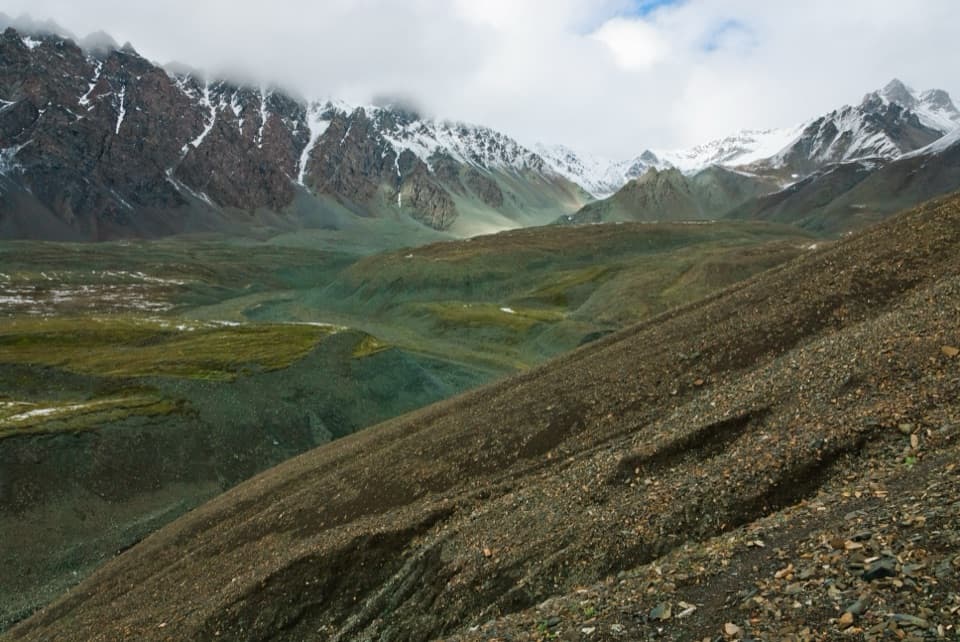 ChallengingTrail Creek to Lost Creek Loop22.5 mi · 1 day · 1.8 mi awayA remote creek-to-creek loop over a 6,000-foot pass.
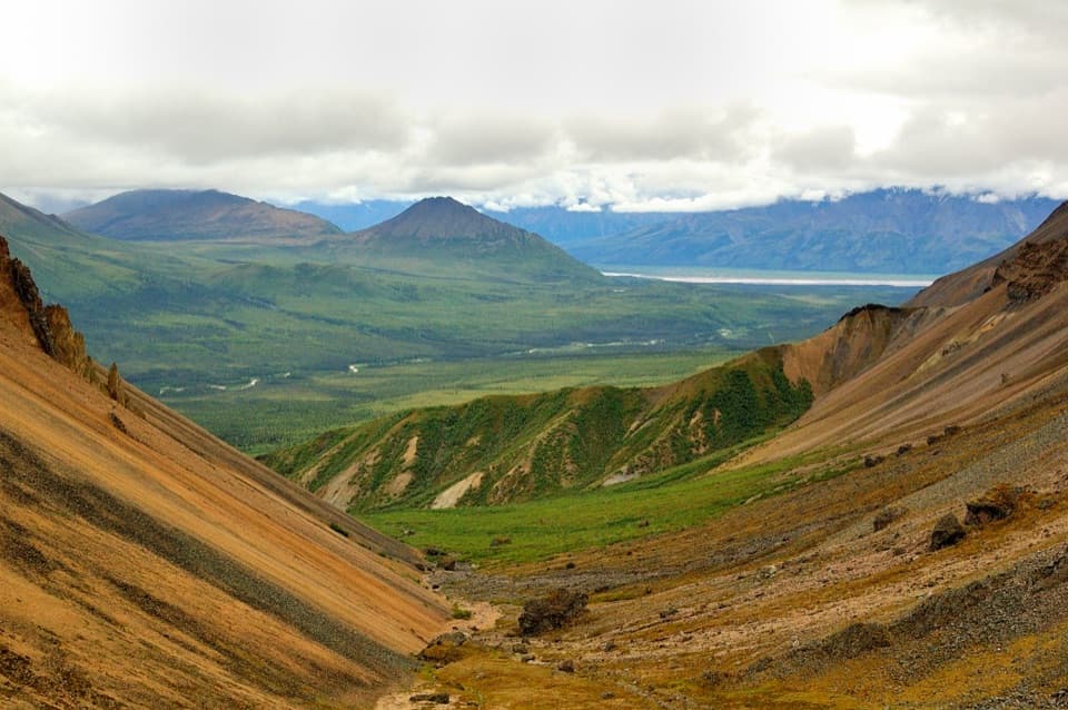 ModerateSkookum Volcano Trail5 mi · 3 hr · 4.9 mi awayCreek crossings lead into an eroded volcano and a high pass
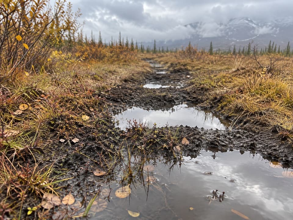 ChallengingTanada Lake Trail34.6 mi · 6 days · 6.7 mi awayA remote, boggy route toward Sheep and Grizzly Lakes.
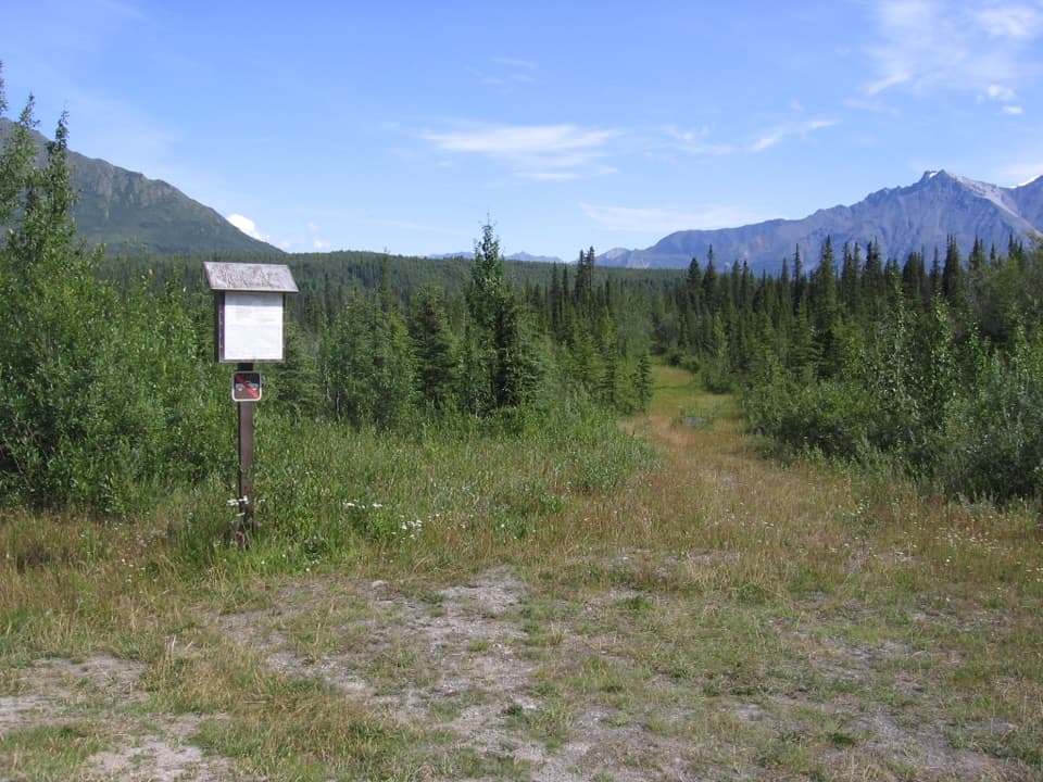 ChallengingReeve's Field Trail8.5 mi · 8.5 hr · 8.8 mi awayA remote route to river views and a 1941 airlift story
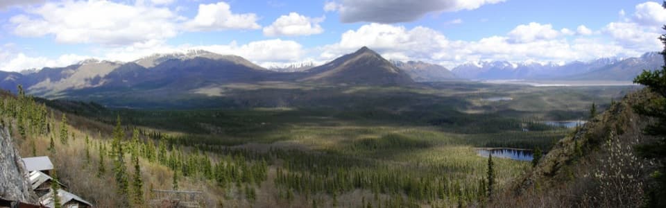 ModerateRambler Mine Trail1.5 mi · 1.8 hr · 9.9 mi awayA steep forest climb to historic mine remains and broad valley views.
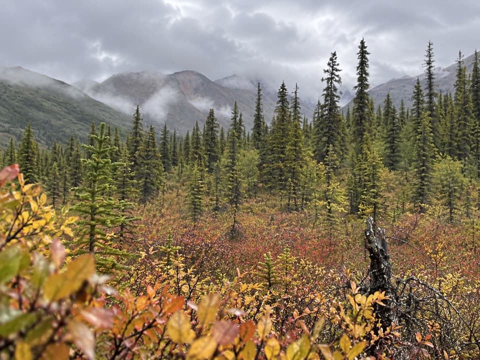 ModerateCaribou Creek Trail7 mi · 4 hr · 11.4 mi awayWalk to a backcountry cabin through tundra and creek crossings.
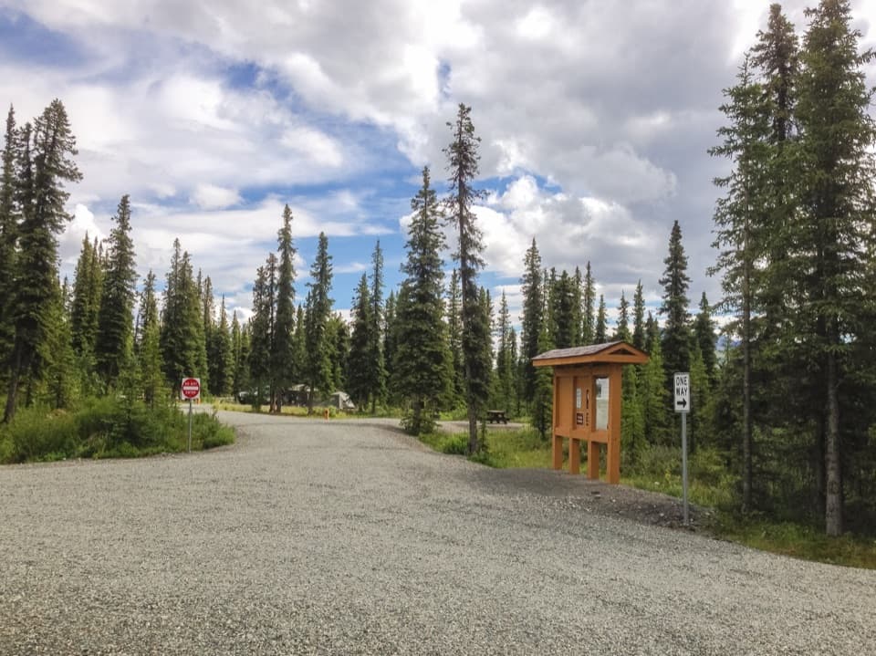 Campground · 3 mi awayKendesnii CampgroundA quiet Twin Lakes campground on the rough Nabesna Road.
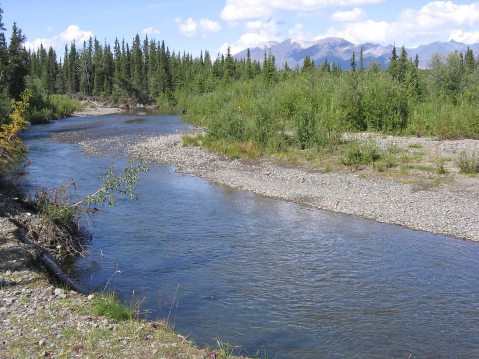 Campground · 4 mi awayJack Creek Rest AreaA primitive creekside camp with fishing and sheep country nearby.
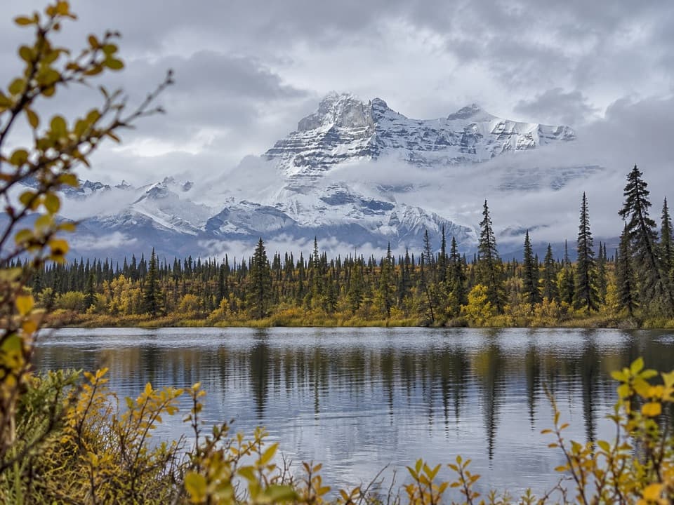 Sight · 8.6 mi awayRock Lake WaysideA quiet lake break with the Wrangell Mountains across the water.
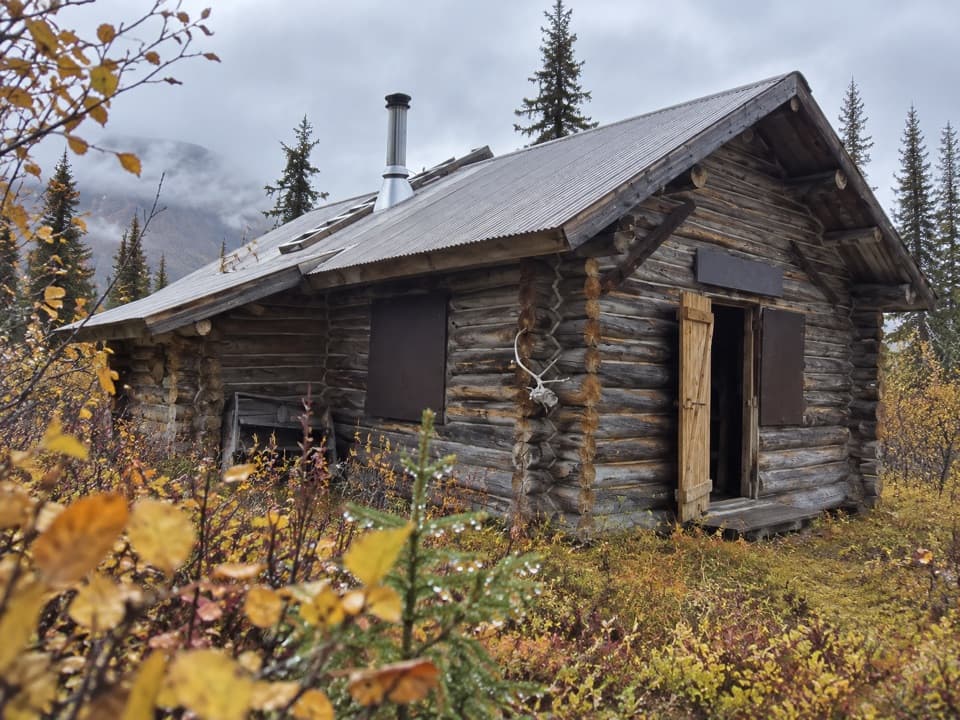 Lodging · 8.7 mi awayViking Lodge CabinA short spruce walk leads to a real NPS cabin.
Parkwolf’s Wrangell-St. Elias ranking

The audio tour guide for the drive, plus offline maps, trails, and wildlife heatmaps for when the signal drops.