Pros & cons
PROS
- Big Copper River and mountain views for minimal time and effort
- Easy to pair with the Boreal Forest loop for a fuller experience
CONS
- Very short; it’s an overlook loop, not a riverside ramble
- Mosquitoes can be intense in early summer; spring flooding possible
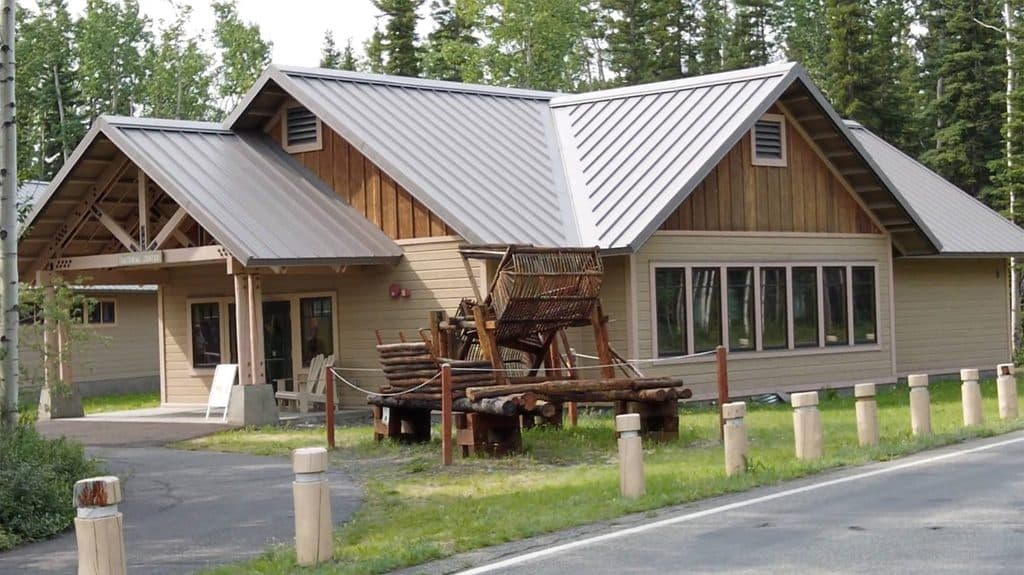
Park at the Wrangell–St. Elias Visitor Center in Copper Center; the loop starts on the visitor center grounds.
Short but steeper grade to the bluff can be slick when wet; expect heavy mosquitoes in June–July and occasional spring flooding on sections of the campus paths.
Overview
If someone points you to the “Copper River Trail” by Copper Center, they almost certainly mean the Copper River Bluff Trail on the Wrangell–St. Elias Visitor Center grounds. It’s a short, signed loop that climbs a bluff to an overlook of the Copper River and the broad Copper River Valley. Officially, it’s a 0.5‑mile loop and is labeled “moderately strenuous” because of the brief, steeper grade to the viewpoint.
What you’ll see
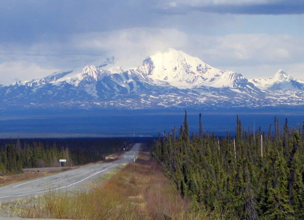
Expect an easy wander through boreal forest punctuated by big-sky vistas: the Copper River and, on clear days, mountain views that include the Wrangell range. The visitor center campus also has viewing decks/platforms, so you can turn a quick stroll into a longer linger if the clouds cooperate.
Route, length, and difficulty
The Copper River Bluff Trail is a 0.5-mile loop (total), with a short climb to gain the bluff. The surface is gravel, and most of the loop has only minor ups and downs; the bluff section is where you’ll feel the grade. If you want extra mellow, pair or substitute the adjacent Boreal Forest Trail (another short loop) for a flatter experience and still get a nice forest ramble.
Conditions to expect
Spring can be messy: portions of the campus paths have been reported flooded around May. Early summer brings Alaska’s famous mosquitoes—come prepared. After rain or during spring melt, the steeper bit can be slick; traction shoes help.
Tips
- Combine loops: Do the Boreal Forest Trail with the bluff loop to get both forest ecology and the river overlook in one go.
- Bring bug defense in June/July (repellent or a head net if you’re bug-sensitive).
- Check in at the visitor center for current conditions and which paths/decks are open.
Best time to hike
Late spring through early fall. Mornings or late afternoons tend to have softer light on the valley and peaks, and may dodge some mid‑day bus activity. After storms or during spring melt, ask about any temporary closures or flooding.
Pets
Leashed pets (six-foot leash) are allowed on park trails; keep them close, clean up waste, and be extra cautious during Alaska’s trapping seasons.
Elevation
0.5 mi · 18 minNear Copper River Trail
All places →All trails →
Kennecott Mines National Historic LandmarkTowering red mill town frozen in Alaska’s copper boomVisitor Center · Exhibit
Root GlacierWalk on blue ice with towering mountain viewsRestroom · Scenic Viewpoint
Bagley Ice FieldVast, remote icefield best seen by flightseeing
Kennicott GlacierA debris-striped glacier you can actually walk on from KennecottTrailhead · Restroom
Trail to End of Root GlacierWalk from a ghost town to stand on living ice—bring traction.Moderate · 4 mi · 3 hr
Root Glacier TrailWalk from Kennecott to blue ice, pools, and the Stairway IcefallModerate · 5.7 mi · 3.5 hr
Bonanza Mine TrailBig glacier views and eerie mine ruins after a relentless climbChallenging · 8.3 mi · 5.5 hr
Stairway Icefall/ Erie Lake TrailBig glacier drama to a wild lake beneath the Stairway IcefallChallenging · 7 mi · 5.5 hr