Best time to visit
Summer is the sweet spot: shuttles and private services run, and road conditions are typically at their best. Outside of summer, expect very limited options—plan to be fully self‑sufficient.

#9 of 22 sights in Wrangell-St. Elias
Sight · Wrangell-St. Elias National Park
Car-free gateway to Kennecott with seasonal services and shuttles
Overview
McCarthy is the tiny, end‑of‑the‑road hub for exploring the Kennecott side of the park. The McCarthy Road ends at the Kennicott River footbridge; you park, then walk, shuttle, or arrange transport across. From the bridge it’s about 0.5 mile to McCarthy and roughly 5 miles to Kennecott.
McCarthy is your pedestrian gateway to the historic Kennecott Mines and the glacier‑carved scenery beyond. The town itself feels pleasantly unplugged—no vehicles cross the footbridge—which keeps the core compact and walkable. In summer, limited private services cluster near the bridge and in the area, making this a practical staging point before heading up to Kennecott.
 Parkwolf’s verdictWhy Stop Here
Map
Local know-how
Fuel up before you turn onto the McCarthy Road—there’s no gas later.
Park at the footbridge and plan to walk or shuttle into town.
Carry cash as a backup for parking lots and seasonal shuttles.
Expect limited cell service; download maps and info ahead of time.
Pack a real spare tire and jack for the rough, unpaved road.
Plan your stop

The highest, rockiest slopes around here are a summer buffet for grizzly bears.
Wrangell-St. Elias Tour Guide
Parkwolf is a GPS audio tour guide for Wrangell-St. Elias National Park. As you drive, it chimes in with what’s ahead: hidden gems, upcoming stops, history, geology, and wildlife, right through your car’s speakers.
See the Wrangell-St. Elias audio tourRecorded for this place
McCarthy, the Gateway to Kennecott“You're coming up on the town of McCarthy, the small community at the end of the road. This is the gateway to the Kennecott Mines, but it has its own distinct, rustic vibe.”
Plays as you drive up to McCarthy in the Parkwolf Wrangell-St. Elias Tour Guide.
More stories near here in the app
“Fantastic app with many points of information… It’s great to just turn on while you’re driving and it gives you an audio tour of the national Park. We love it!!!!”


Guide
Bear awareness is essential throughout this corridor, including at short waysides and trails. On the drive, watch for Dall sheep on the Crystalline Hills and seasonal salmon activity in area rivers.
McCarthy grew up alongside the Copper River & Northwestern Railway, which once hauled rich copper ore from Kennecott to the coast. Today, you’ll cross the modern footbridge to reach the old mining district and its striking mill town relics.
Wildlife
 112 sightingsGrizzly BearMost seen around 9 PMSighting map
 63 sightingsMooseMost seen around 8 PMSighting map
 21 sightingsHumpback WhaleMost seen around 1 PMSighting map
 46 sightingsSteller Sea LionMost seen around 11 AMSighting map
 37 sightingsBlack BearMost seen around 8 PMSighting map
 48 sightingsBald EagleMost seen around 5 PMSighting map
Sighting maps show where each species has been reported across Wrangell-St. Elias. Wildlife moves, so no sighting is guaranteed.
Keep exploring
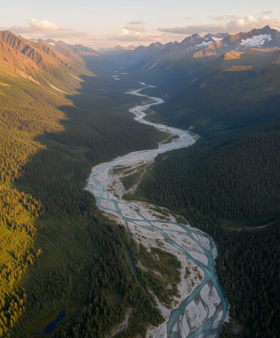 ChallengingMcCarthy Creek Trail13 mi · 7 hr · 0.2 mi awayRugged McCarthy Creek route with washouts, route-finding, and solitude
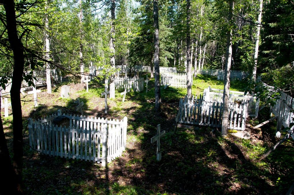 EasyWagon Road Trail (McCarthy Access)4.5 mi · 2 hr · 0.3 mi awayHistoric forest route from McCarthy to Kennecott Mill Town
 ChallengingJumbo Mine Trail10 mi · 8 hr · 3.5 mi awayStrenuous climb from Kennecott to the abandoned Jumbo Mine with sweeping glacier views
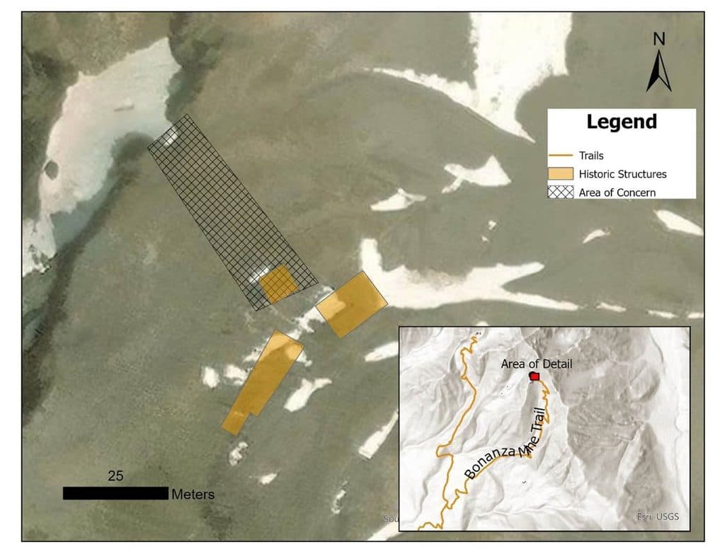 ChallengingBonanza Mine Trail9 mi · 7 hr · 3.8 mi awayStrenuous climb to Bonanza Mine ruins and sweeping Kennicott Glacier views
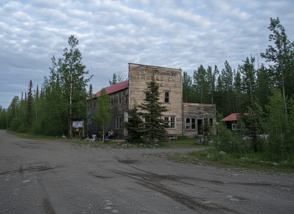 Sight · 0.1 mi awayWrangell Mountains CenterRustic, brainy hub for workshops beside the Kennicott Glacier
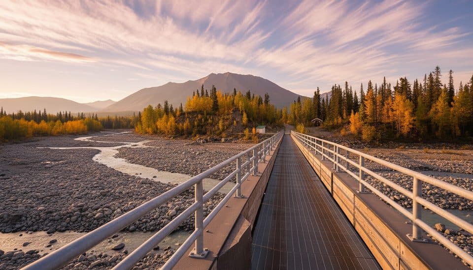 Sight · 0.7 mi awayMcCarthy FootbridgePedestrian gateway to McCarthy with big river-and-glacier views
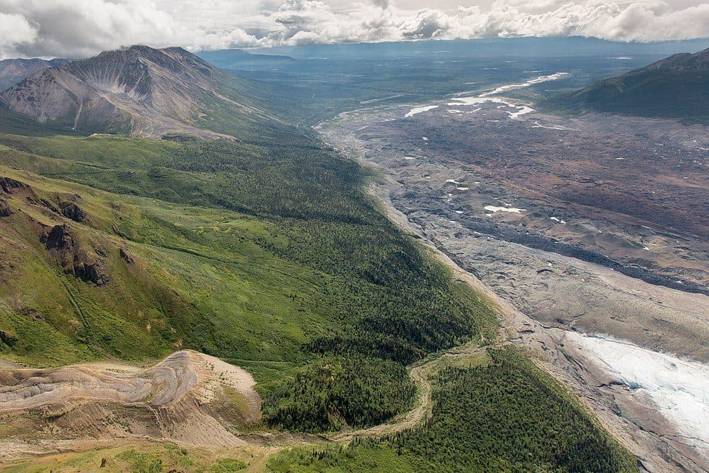 Sight · 0.9 mi awayToe of Kennicott GlacierQuick walk to a dynamic glacier face and growing lake
 Ranger station · 1.4 mi awayMcCarthy Road Ranger StationEnd-of-road info stop with restrooms and day-use parking
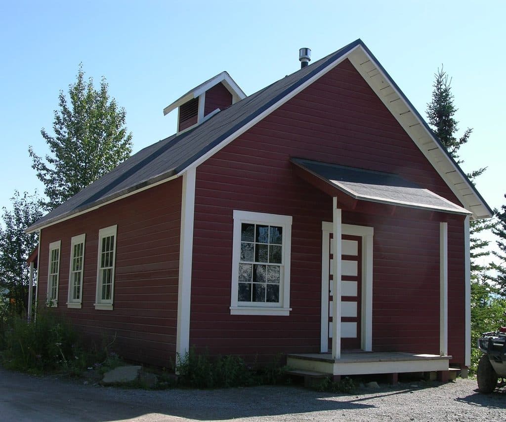 Visitor center · 3.8 mi awayKennecott Visitor CenterHistoric hub for Kennecott’s story, films, and ranger advice
 Sight · 3.8 mi awayKennecott Mines National Historic LandmarkTowering red mill town frozen in Alaska’s copper boom
Parkwolf’s Wrangell-St. Elias ranking
The audio tour guide for the drive, plus offline maps, trails, and wildlife heatmaps for when the signal drops.