
Place · 0 mi away
Easy
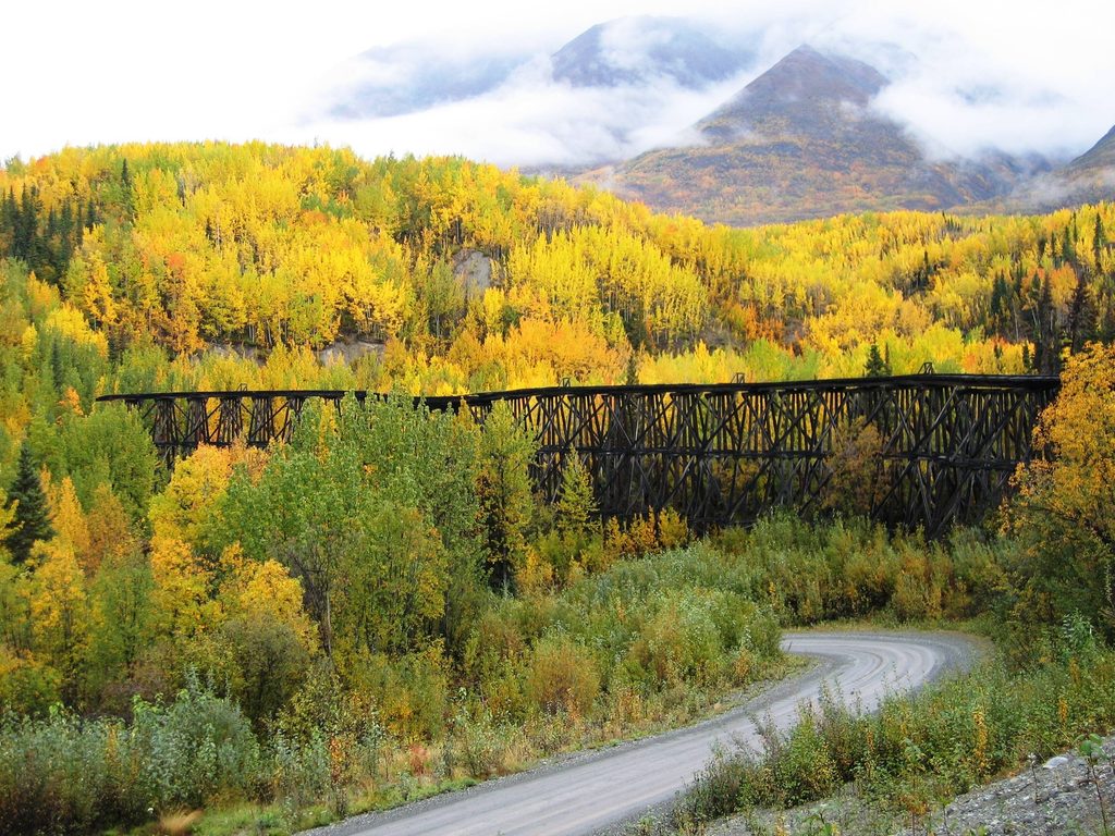
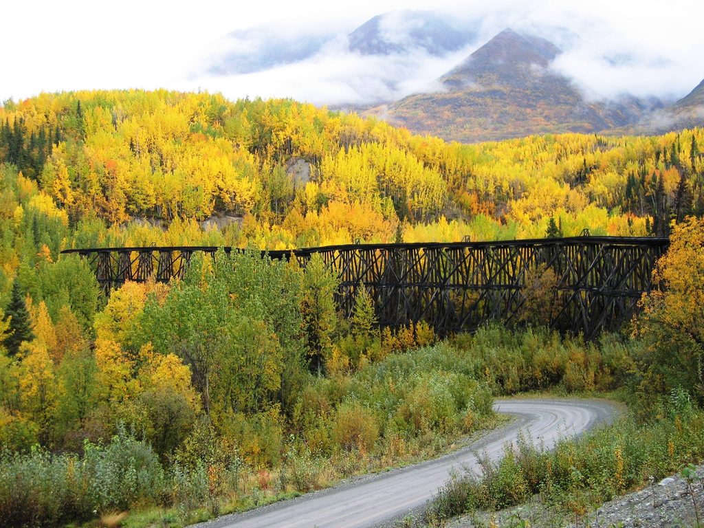
This is a quick, easy stop along McCarthy Road centered on the massive, photogenic Gilahina railroad trestle—roughly 880 feet long and 80–90 feet tall. Built in just eight days in the winter of 1910, it once carried the Copper River & Northwestern Railway serving the Kennecott mines. Today, it’s a quiet pullout with interpretive signs, a vault toilet, and a short trail that lets you stretch your legs along the river.
From the wayside near about Mile 28 of McCarthy Road, look for the informal footpath leading downriver. The trail is approximately 0.5 miles one way; most visitors do it as an out-and-back for about 1.0 mile total. Expect minimal elevation change and limited trail signage—turn around whenever you’re ready.
The star is the trestle itself, a lattice of weathered timbers that’s a dream subject for photos from the pullout and the riverbank. The Gilahina River runs below, fed by mountain springs; the water is clear and very cold (around 38–40°F). Read the panels to appreciate the engineering feat and the boomtown railroad history that put this structure here.
This is an easy stroll, but it’s a remote roadside stop. McCarthy Road is a 60-mile gravel drive with potholes, washboard, and occasional shallow stream crossings—plan extra time and drive carefully. Facilities here are basic: a small dirt/gravel parking area, an NPS outhouse, and interpretive signs. Do not climb on the trestle; it’s in disrepair. River rocks can be slick, and if you collect water, treat it.
Anytime you’re passing by on the McCarthy Road drive. Morning and late-day light are best for photos, and you’ll avoid any mid-day trickle of visitors. This is a quick stop, so even a brief weather window is enough.
This is a leg-stretcher, not a destination hike. For longer adventures once you reach the Kennecott/McCarthy area, consider the Root Glacier Trail (moderate, ~4.4 miles), Bonanza Mine (steep, ~6 miles), the Wagon Road (~4 miles), Stairway Icefall/Erie Lake (~7 miles), or Copper Lake (~12 miles).
Gravel/dirt pullout at roughly Mile 28 on McCarthy Road, next to the restroom and interpretive signs.
Do not climb the trestle; it’s unstable. McCarthy Road is rough with potholes and occasional stream crossings. River rocks are slick; be bear aware and treat any collected water.
Place · 0 mi away
Place · 10.4 mi away
Place · 22.4 mi away
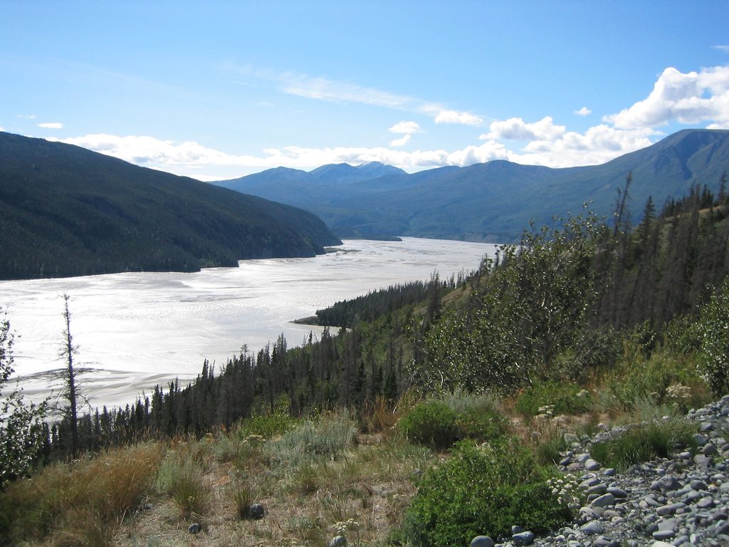
Place · 23.9 mi away
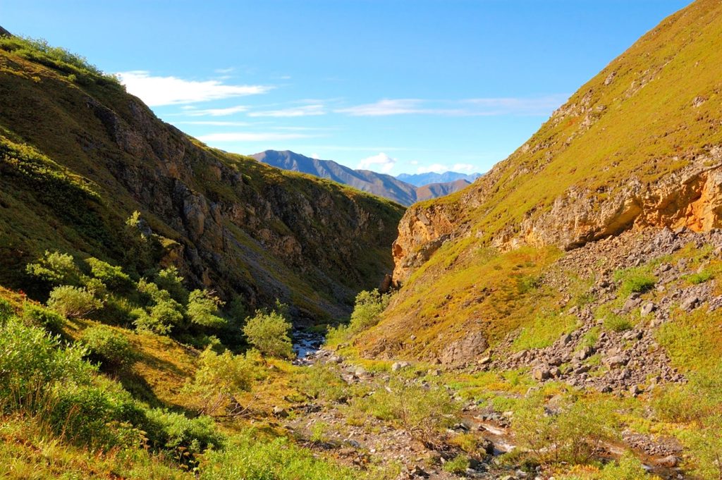
Challenging · 13.4 mi away
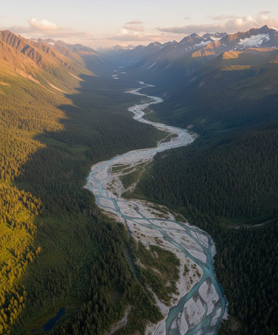
Challenging · 26.4 mi away
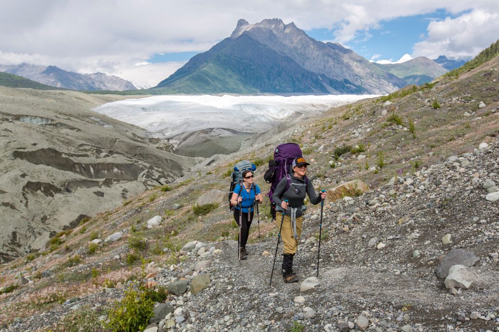
Moderate · 27.6 mi away
Challenging · 27.6 mi away

Parkwolf Tour Guide
