Parking
Begin on foot in downtown McCarthy near the historic hardware store; local parking and services are in town, then follow the signed public approach to the river and footbridge.
Wrangell-St. Elias National Park, AK
Rugged McCarthy Creek route with washouts, route-finding, and solitude
Overview
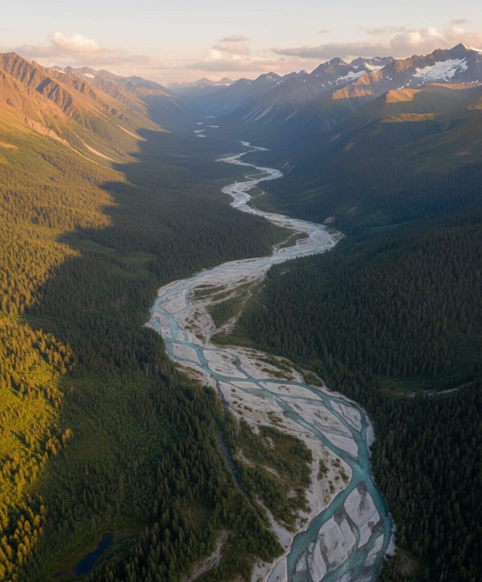
McCarthy Creek Trail is a rugged, moderate out-and-back creekbed route from downtown McCarthy. The full visitor line follows the public approach from town, then the mapped McCarthy Creek corridor toward the historic upper route. Expect loose cobbles, braided channels, changing footing, and route-finding rather than a maintained tread.
Map & elevation
Plan your hike

The highest, rockiest slopes around here are a summer buffet for grizzly bears.
Wrangell-St. Elias Tour Guide
Parkwolf is a GPS audio tour guide for Wrangell-St. Elias National Park. As you drive, it chimes in with what’s ahead: hidden gems, upcoming stops, history, geology, and wildlife, right through your car’s speakers.
See the Wrangell-St. Elias audio tourRecorded for this trailhead
McCarthy, the Gateway to Kennecott“You're coming up on the town of McCarthy, the small community at the end of the road. This is the gateway to the Kennecott Mines, but it has its own distinct, rustic vibe.”
Plays as you drive up to this trailhead in the Parkwolf Wrangell-St. Elias Tour Guide.
More stories near here in the app
“Fantastic app with many points of information… It’s great to just turn on while you’re driving and it gives you an audio tour of the national Park. We love it!!!!”


Trail guide
Walk through downtown McCarthy past the historic hardware store, continue to the river and footbridge, then follow the mapped approach to the first steep switchback. From there, the route follows McCarthy Creek. After about three miles, flooding has washed out parts of the old route; use the established up-and-over line beside the creek rather than forcing a ford. The route ends at the river between an old cabin and the former crossing. The NPS leaflet lists the named trail segment as 5 miles one way (10 miles round-trip). Including the verified downtown approach, this full visitor route measures about 6.5 miles one way, so Parkwolf reports 13.0 miles round-trip.
This is a creek-and-canyon outing with solitude and raw, changeable scenery, not a groomed trail. McCarthy Creek is a substantial river: crossing may be possible at low water but can be treacherous when flows rise. Turn around if the crossing is unsafe, and expect floods to wash out portions of the route. Respect private property in the upper drainage and do not trespass. Ask the Kennecott Visitor Center about current access conditions before setting out.
Access is on foot from McCarthy. The McCarthy Road approach is gravel and can be rough; carry a spare and repair kit if driving in. Wear footwear suitable for wet, loose rock and bring trekking poles and reliable navigation. Dogs are allowed on leash and under control; keep them close in bear country and around changing water.
Parkwolf stores the physical out-and-back corridor once, from the downtown start to the river endpoint. The reported length is the total round-trip distance, not a duplicated reverse line.
Wildlife
 112 sightingsGrizzly BearMost seen around 9 PMSighting map
 63 sightingsMooseMost seen around 8 PMSighting map
 21 sightingsHumpback WhaleMost seen around 1 PMSighting map
 46 sightingsSteller Sea LionMost seen around 11 AMSighting map
 37 sightingsBlack BearMost seen around 8 PMSighting map
 48 sightingsBald EagleMost seen around 5 PMSighting map
Sighting maps show where each species has been reported across Wrangell-St. Elias. Wildlife moves, so no sighting is guaranteed.
Keep exploring
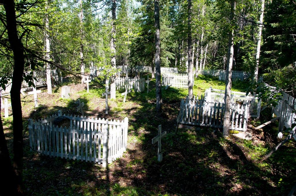 EasyWagon Road Trail (McCarthy Access)4.5 mi · 2 hr · 0.4 mi awayHistoric forest route from McCarthy to Kennecott Mill Town
 ChallengingJumbo Mine Trail10 mi · 8 hr · 3.6 mi awayStrenuous climb from Kennecott to the abandoned Jumbo Mine with sweeping glacier views
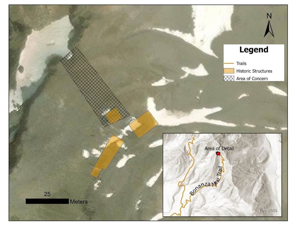 ChallengingBonanza Mine Trail9 mi · 7 hr · 4 mi awayStrenuous climb to Bonanza Mine ruins and sweeping Kennicott Glacier views
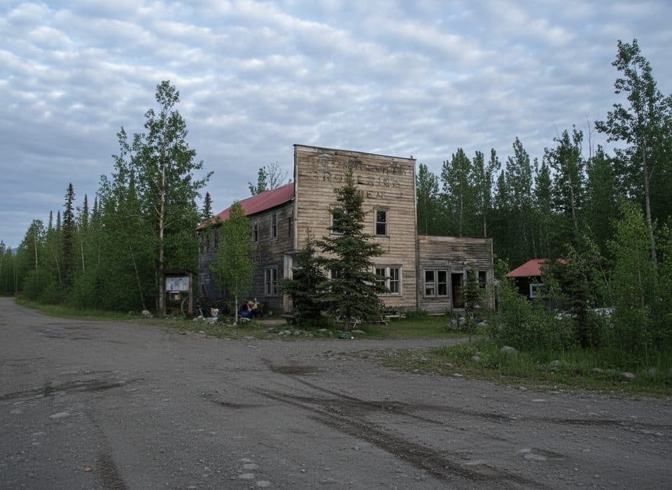 Sight · At the trailheadWrangell Mountains CenterRustic, brainy hub for workshops beside the Kennicott Glacier
 Sight · 0.2 mi awayMcCarthyCar-free gateway to Kennecott with seasonal services and shuttles
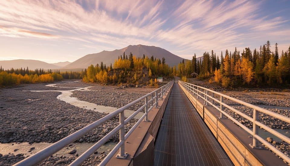 Sight · 0.6 mi awayMcCarthy FootbridgePedestrian gateway to McCarthy with big river-and-glacier views
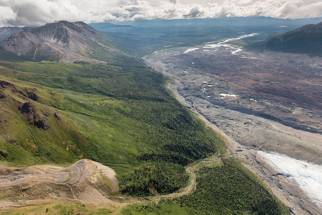 Sight · 1 mi awayToe of Kennicott GlacierQuick walk to a dynamic glacier face and growing lake
 Ranger station · 1.4 mi awayMcCarthy Road Ranger StationEnd-of-road info stop with restrooms and day-use parking
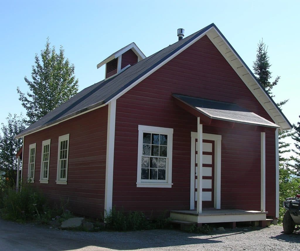 Visitor center · 3.9 mi awayKennecott Visitor CenterHistoric hub for Kennecott’s story, films, and ranger advice
 Sight · 3.9 mi awayKennecott Mines National Historic LandmarkTowering red mill town frozen in Alaska’s copper boom
Parkwolf’s Wrangell-St. Elias ranking

The audio tour guide for the drive, plus offline maps, trails, and wildlife heatmaps for when the signal drops.