Parking
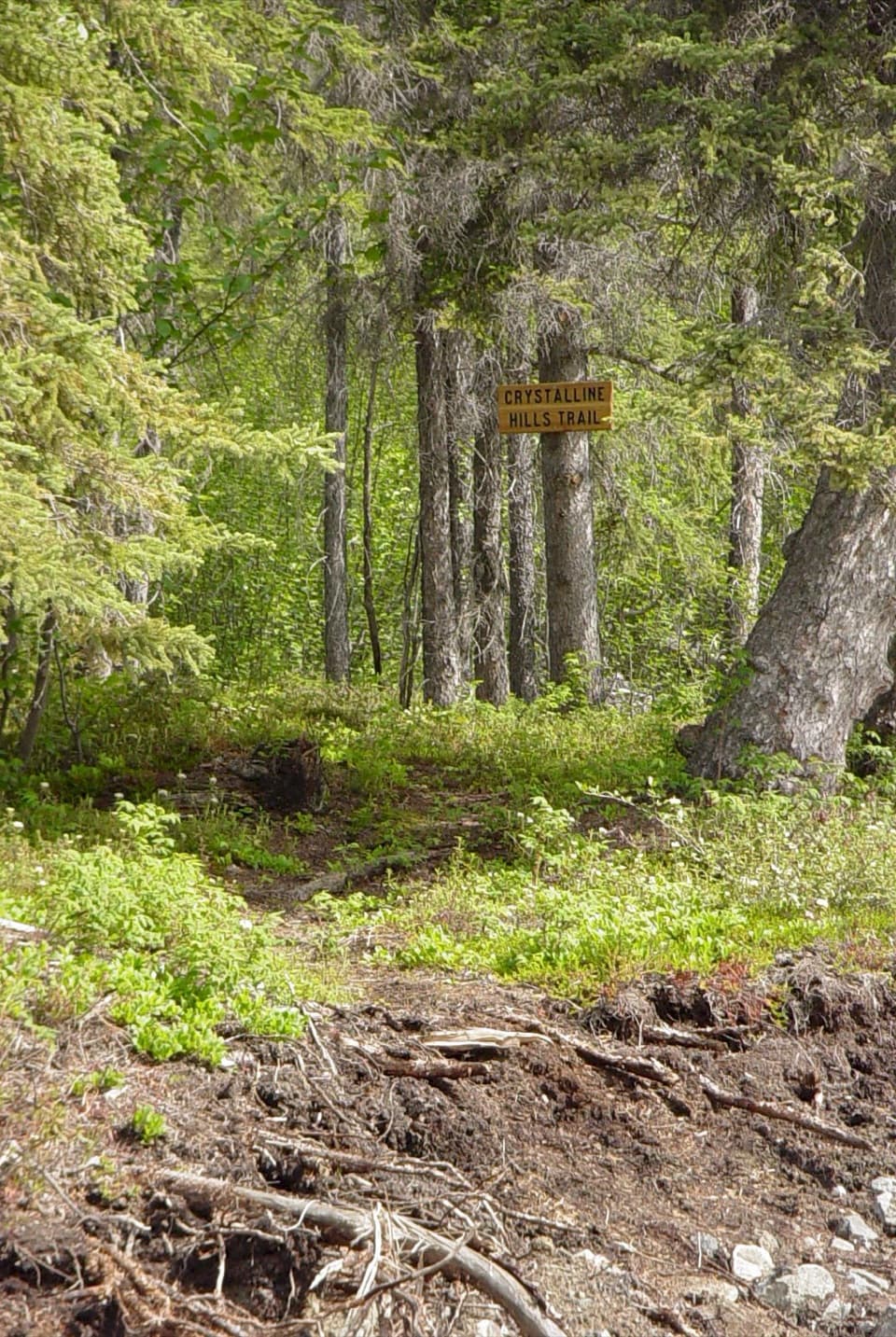
Start at the NPS-listed parking at Nabesna Road milepost 11.2; the trailhead is at milepost 11.0. Parking layout, capacity, fees and facilities at this access point were not documented.
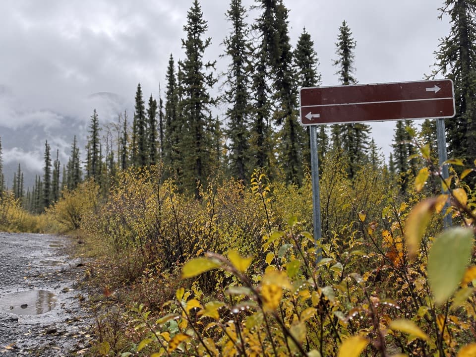
Wrangell-St. Elias National Park, AK
A boggy 15-mile return; the park advises against hiking.
Overview
Map & elevation
Plan your hike

The highest, rockiest slopes around here are a summer buffet for grizzly bears.
Wrangell-St. Elias Tour Guide
Parkwolf is a GPS audio tour guide for Wrangell-St. Elias National Park. As you drive, it chimes in with what’s ahead: hidden gems, upcoming stops, history, geology, and wildlife, right through your car’s speakers.
See the Wrangell-St. Elias audio tourRecorded for this area
A Squirrel Below Freezing“An arctic ground squirrel can cool below the freezing point of water without freezing itself. These squirrels spend about eight months hibernating in underground burrows.”
Plays on the road 0.4 mi from the trailhead in the Parkwolf Wrangell-St. Elias Tour Guide.
More stories near here in the app
“Fantastic app with many points of information… It’s great to just turn on while you’re driving and it gives you an audio tour of the national Park. We love it!!!!”


Trail guide
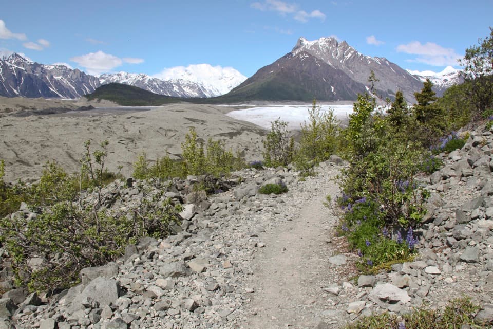
Suslota Lake Trail is a minimally developed out-and-back from Nabesna Road mile 11.0 (parking is listed at mile 11.2) to Suslota Lake. The mapped corridor is about 7.4 miles each way, or roughly 15 miles round trip. This is a remote, wet backcountry route, and the National Park Service does not recommend hiking it. Expect muskeg, mud bogs, standing water and tussocks. I would skip it unless you are comfortable making slow progress over very wet ground.
Conditions vary with seasonal rain and how much the trail has been used, but NPS describes them as generally poor and wet. The 4–6 hour figure applies to ORV travel, not walking; there is no dependable hiking time. If you decide to try the 15-mile return, give it a full day and don't plan around the ORV time. The trail is minimally developed, and the available directions don't break down crossings or wayfinding mile by mile.
After about 8 miles, the trail leaves the National Preserve and enters Alaska state land. Suslota Lake is outside the park, with privately owned cabins around it; public passage around those properties isn't clearly described. Stay out of the cabins, and turn back if continuing would mean crossing private land. Nabesna Road is remote and has very limited cell coverage, so sort out your route and communication before leaving the highway.
Wildlife
 113 sightingsGrizzly BearMost seen around 9 PMSighting map
 66 sightingsMooseMost seen around 8 PMSighting map
 21 sightingsHumpback WhaleMost seen around 1 PMSighting map
 46 sightingsSteller Sea LionMost seen around 11 AMSighting map
 39 sightingsBlack BearMost seen around 8 PMSighting map
 48 sightingsBald EagleMost seen around 5 PMSighting map
Sighting maps show where each species has been reported across Wrangell-St. Elias. Wildlife moves, so no sighting is guaranteed.
Keep exploring
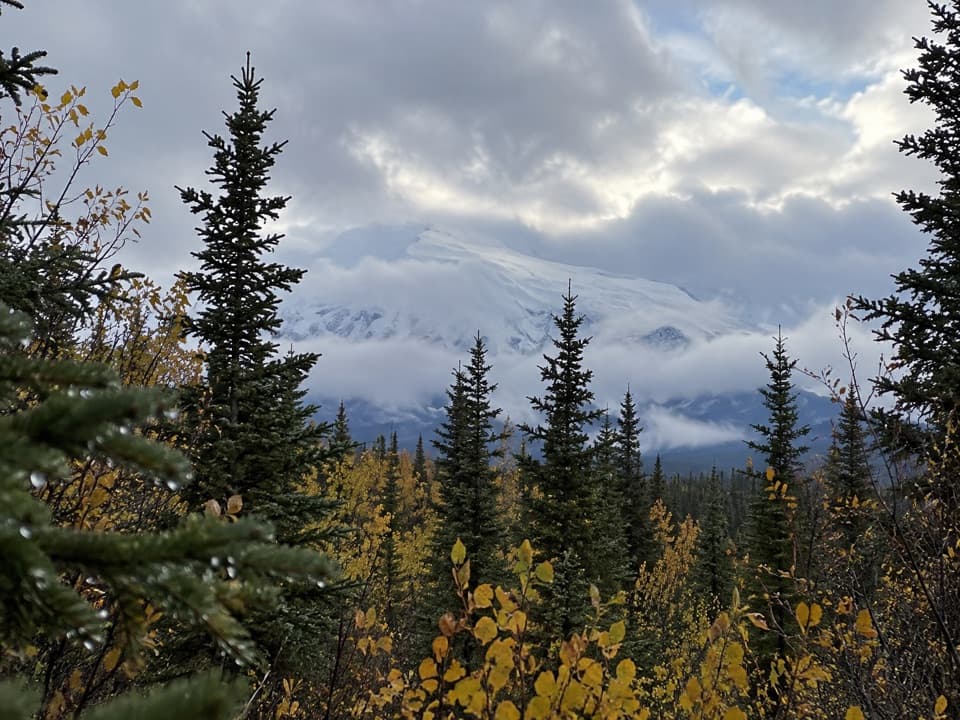 ModerateCopper Lake Trail5.1 mi · 3 hr · 1.1 mi awayWalk 5 miles out and back to the Tanada Creek crossing.
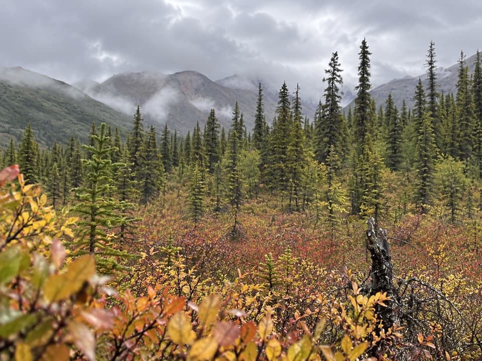 ModerateCaribou Creek Trail7 mi · 4 hr · 7.6 mi awayWalk to a backcountry cabin through tundra and creek crossings.
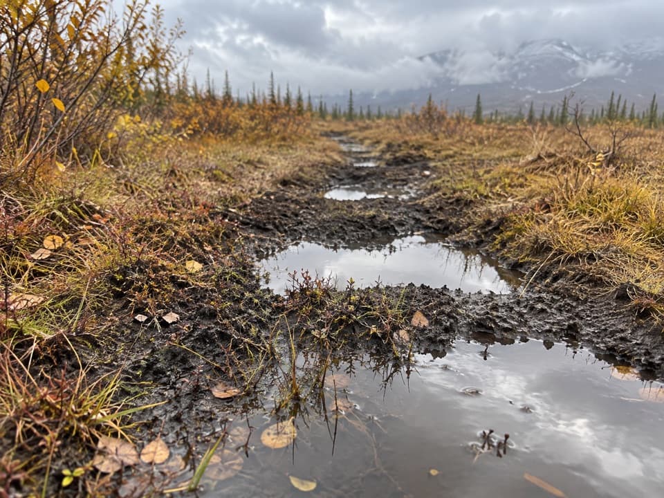 ChallengingTanada Lake Trail34.6 mi · 6 days · 12.3 mi awayA remote, boggy route toward Sheep and Grizzly Lakes.
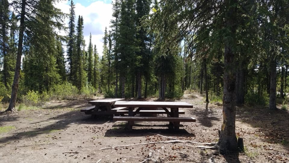 Scenic pullout · 4.8 mi awayRufus Creek WaysideA creekside rest with a picnic table and fishing nearby.
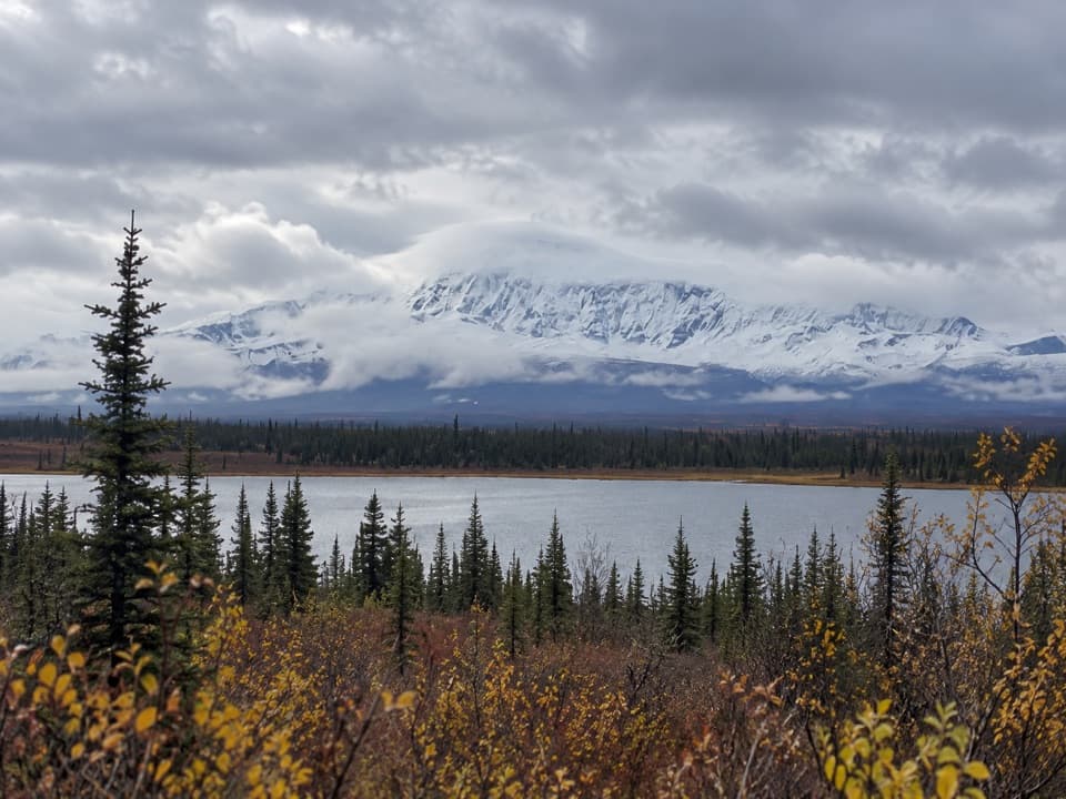 Scenic pullout · 5.4 mi awayKettle Lake WaysideA simple camp stop with a picnic table and Wrangell views
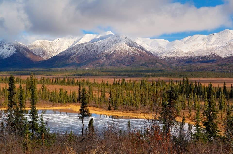 Scenic pullout · 6.7 mi awayDead Dog Hill Rest AreaA practical break with lake, wetland, and mountain views.
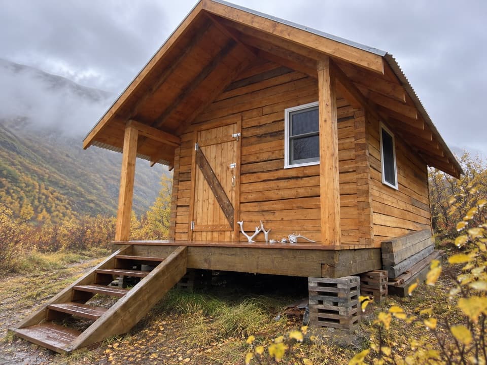 Lodging · 8 mi awayCaribou Creek CabinA two-person backcountry cabin at the end of a three-mile hike.
Parkwolf’s Wrangell-St. Elias ranking

The audio tour guide for the drive, plus offline maps, trails, and wildlife heatmaps for when the signal drops.