Bunsen Peak

Switchback climb to a panoramic summit above Mammoth and Swan Lake Flats
Bunsen Peak, Yellowstone National Park
InsideYellowstone National Park

Overview

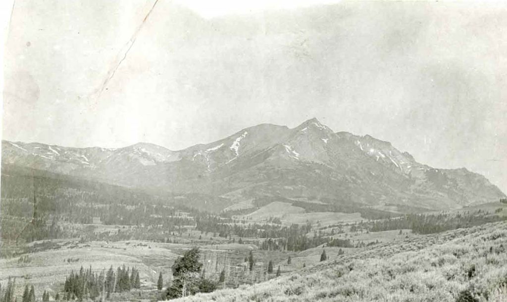
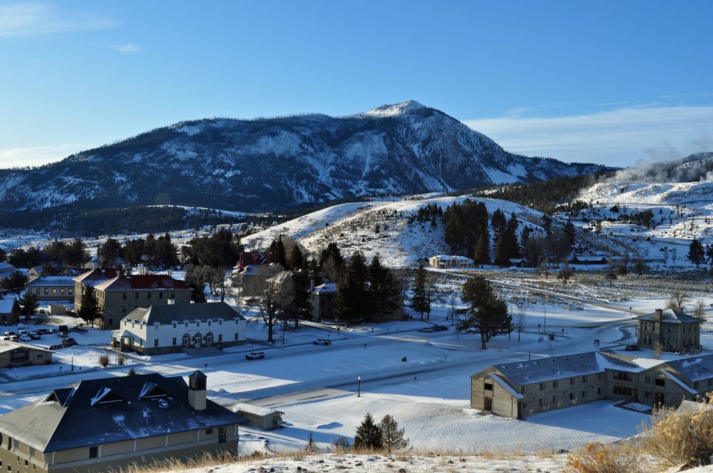
Bunsen Peak is a classic summit hike just south of Mammoth that earns its reputation fast: switchbacks through open slopes lead to sweeping views over Swan Lake Flats, Mammoth Hot Springs, Fort Yellowstone, and the Gallatin Range. It’s a steady climb on an old volcano remnant, with the vistas getting bigger the higher you go.

The Hike

  • Standard out-and-back: about 4.2–4.6 miles round-trip with roughly 1,285–1,300 feet of gain, usually 2–3 hours. The grade is consistent, with some loose, rocky talus near the top.
  • Loop option: continue down the northeast side and return on the Bunsen Peak Road Trail for a ~7–7.5 mile loop (plan 3–5 hours). Expect cyclists on the road-trail segment.
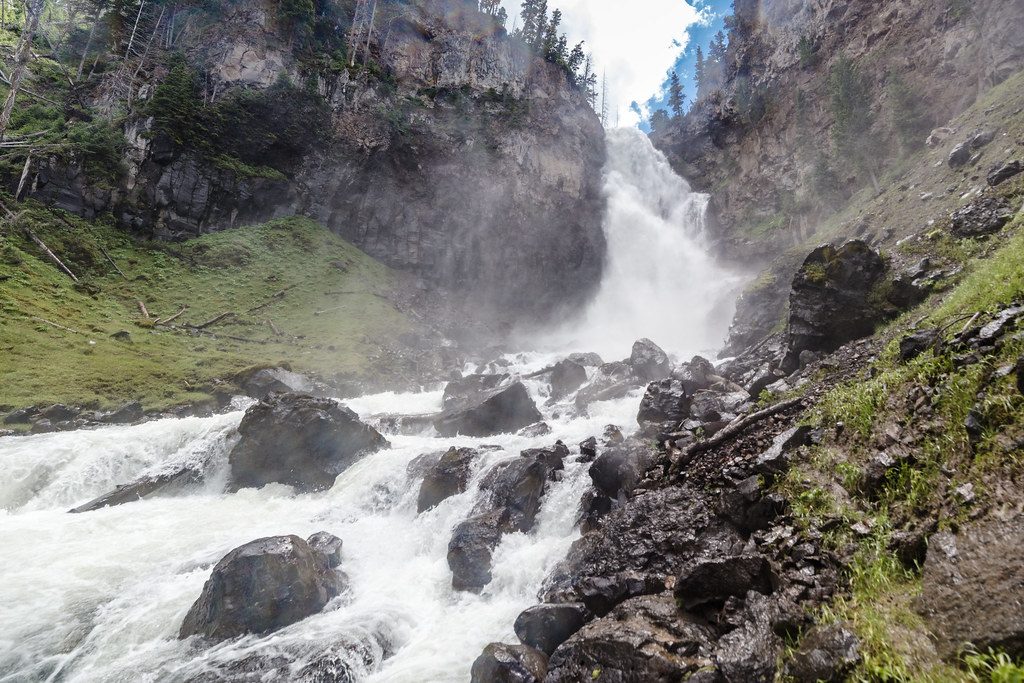
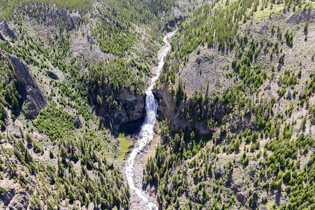
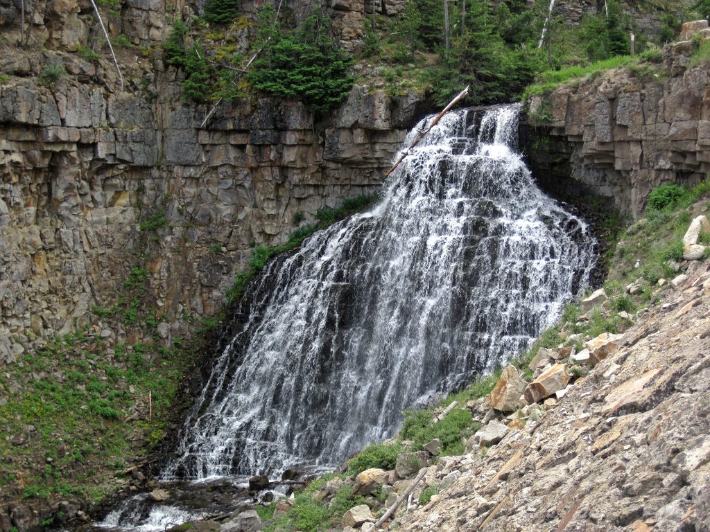
  • Osprey Falls add-on: from the road-trail, drop ~700 feet into Sheepeater Canyon to a 150-foot waterfall; Bunsen + Osprey makes a strenuous ~9-mile day (4.5–7 hours). Osprey Falls alone via the road-trail is about 8 miles round-trip.

What You’ll See

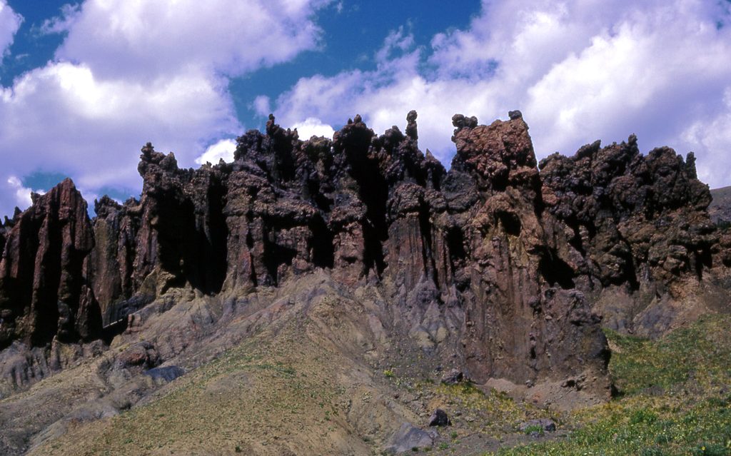
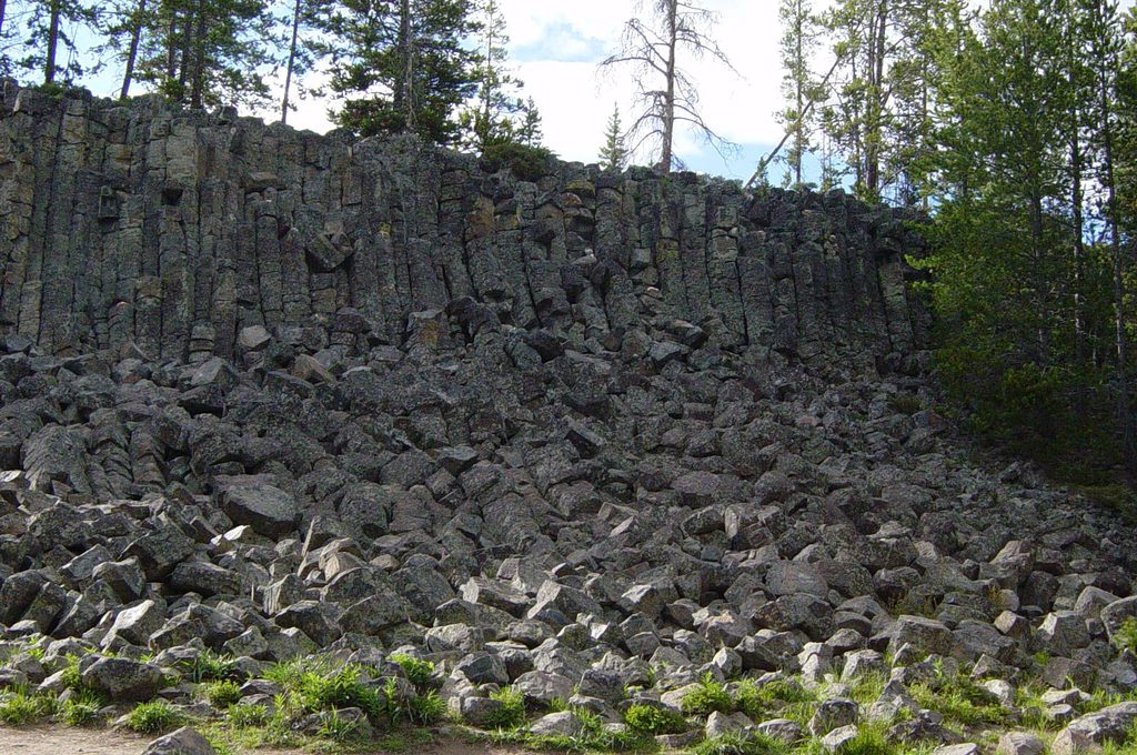
  • Early on, look down to the Golden Gate area, with columnar basalt on Terrace Mountain and travertine hoodoos below.
  • Midway, burned forest gives frequent windows to Mammoth and the Yellowstone River Valley.
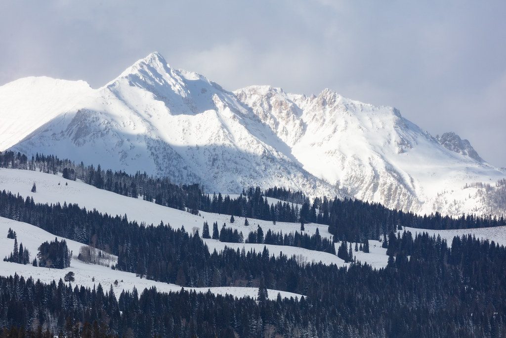
  • Higher up, corners like Cathedral Rock frame big panoramas of Electric Peak, Antler Peak, and the Washburn/Gallatin ranges.
  • At the top, you’ll pass a radio/antenna area and a weather-station hut—keep going a short way to the true summit for full 360-degree views.

Wildlife

This is prime bear country—grizzlies are known to frequent the area. Hikers also report deer, grouse, and pika along the trail. Give wildlife space: at least 100 yards from bears and wolves, and 25 yards from other animals. Carry bear spray and know how to use it.

History & Geology

Named for Robert Bunsen (of Bunsen burner fame), who helped shape geyser theory though he never visited here, Bunsen Peak saw its first recorded ascent during the 1871 Hayden Expedition. You’re hiking on volcanic terrain; those striking basalt columns and travertine formations in the Golden Gate area hint at the forces that shaped this corner of the park.

Getting There & Logistics

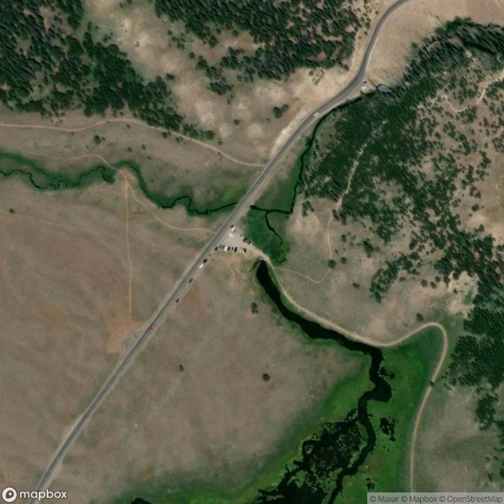
The trailhead sits on Grand Loop Road roughly 5 miles south of Mammoth Hot Springs, opposite the Glen Creek Trailhead. Parking is limited (a small lot that fills quickly) and there are no restrooms or potable water at the trailhead—plan to tank up and use facilities in Mammoth. The Bunsen Peak Road segment is shared with bikes; expect mixed use.

Safety Notes

  • Upper switchbacks can be loose and narrower—trekking poles help, especially on the descent.
  • The summit is exposed; avoid thunderstorms and be cautious in strong winds.
  • In winter, access typically requires a snow coach drop-off or skiing from the Upper Terrace gate; conditions can be icy with steep drop-offs along the road.

Best Time to Visit

June–August offers the most reliable conditions; May can hold lingering snow and ice on the upper trail, and September brings crisp air, fall color, and good wildlife viewing. For crowds and parking, go early morning or late afternoon. Aim for early/late light for photography; avoid midday haze during fire season and keep an eye on fast-building summer storms.

Pros

  • Big, panoramic summit views with scenery all the way up
  • Flexible routes: quick summit, 7-mile loop, or Osprey Falls add-on

Cons

  • Small, often-full parking with no water or restrooms
  • Loose talus and exposure near the top can feel sketchy in wind

Tips

  • Arrive before 8am or after 3pm to improve your odds of parking.
  • Bring bear spray, hike in a group, and check for any bear management closures.
  • There’s no water or restrooms at the trailhead—stock up in Mammoth.
  • Continue past the radio hut to the true summit marker for the best views.
  • Trekking poles and sturdy shoes help on the loose, rocky upper switchbacks.
The Parkwolf tour guide sitting on a phone mounted in a car

Parkwolf Tour Guide

Like a tour guide in your car.

Save the places you found around Yellowstone, then let Parkwolf guide the drive between them.Download Parkwolf on the App Store