
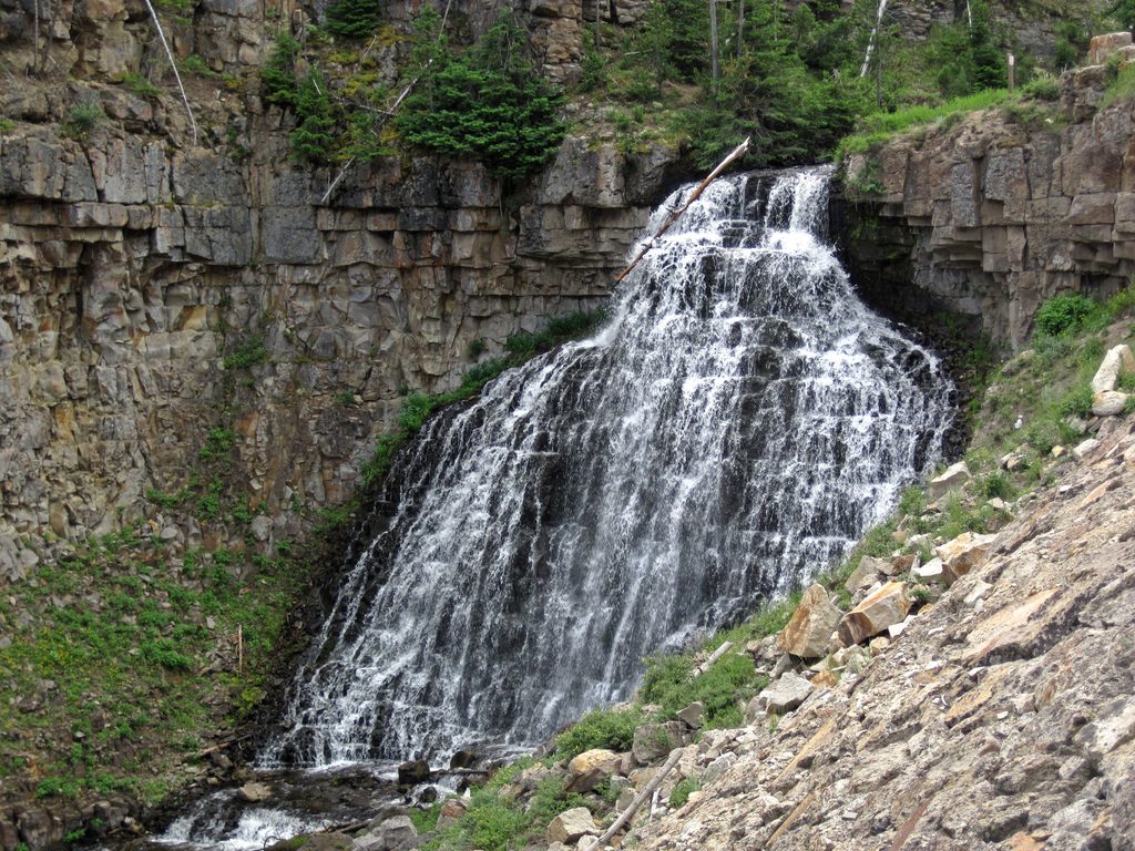
Place · 0.2 mi away
Moderate
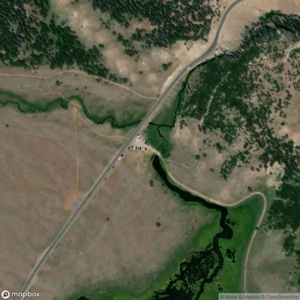
This is the old service road that wraps around the south and east sides of Bunsen Peak—wide, unpaved, and multi‑use—very different from the steep summit path. It runs 6 miles one way from the Bunsen Peak area to the Glen Creek side. Expect mostly level walking for the first ~3 miles, then a steeper, winding descent with airy drop‑offs as you approach Glen Creek. As an out‑and‑back, that descent becomes your climb on the return, so plan accordingly.
Common ways to hike it:
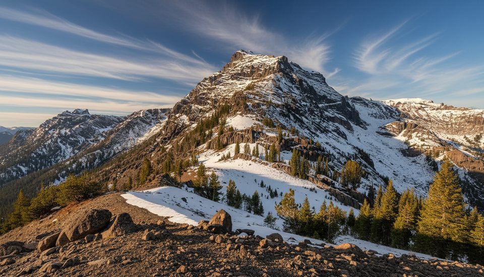
You’ll get a big‑sky Yellowstone vibe without the constant grind of the summit trail. The road’s curves traverse open slopes with occasional exposure and sweeping looks into Sheepeater Canyon. The Osprey Falls spur drops steeply from this road—add it only if you’re ready for a serious canyon descent and climb back out.
This is double‑track dirt/gravel with some steep, winding sections. It’s open to hikers, cyclists, and in winter to skiers and snowshoers. It’s not wheelchair accessible, and the exposed curves can feel spicy if you’re uncomfortable with drop‑offs.
This is prime bear country—carry bear spray, hike in groups, and make noise, especially in forested stretches. The road can be icy in shoulder seasons and winter; a slip on the exposed curves could have consequences. Watch footing on marbles of gravel on the steeper bends.
Late spring through fall offers the firmest tread and the easiest logistics. Early season can hang onto ice and snow on shaded sections; winter turns this into a solid ski or snowshoe tour if you’re prepared. Start early for cooler temps and to secure parking; afternoon light adds depth to the canyon views.
If you like quieter miles, gradual grades, and the option to bike or ski, this road delivers. If you’re chasing the big 360° summit panorama, the separate Bunsen Peak summit trail is the better match.
Small lot just south of Golden Gate on Grand Loop Road, across from the Glen Creek trailhead; limited spaces—arrive early.
Bear country; carry bear spray. Icy conditions and exposed curves can be hazardous, especially on the steeper, winding sections near Glen Creek.
Place · 0.2 mi away
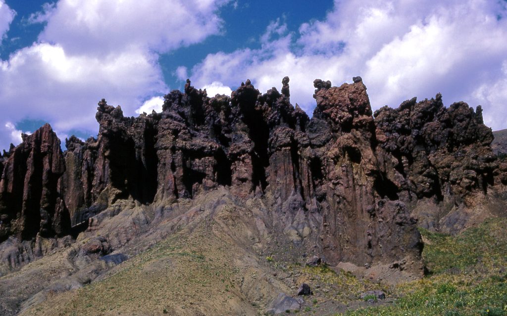
Place · 0.8 mi away
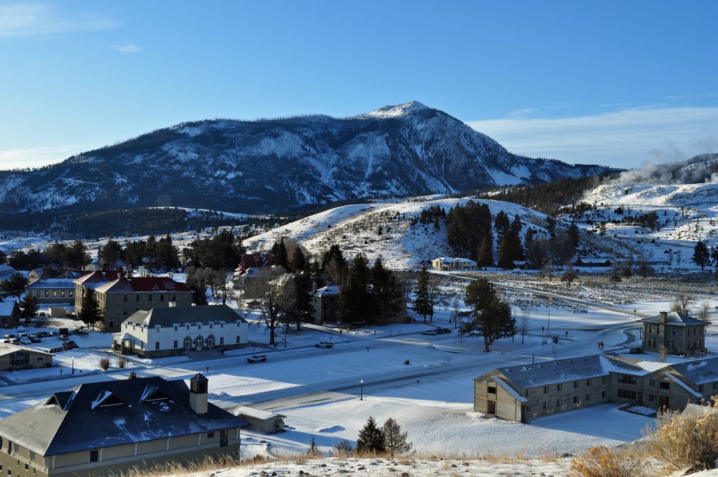
Place · 1 mi away
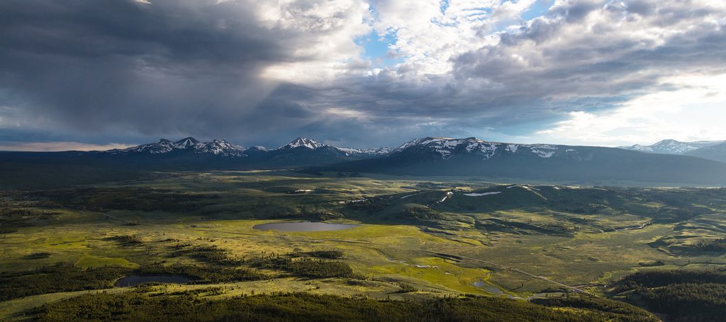
Place · 1.5 mi away
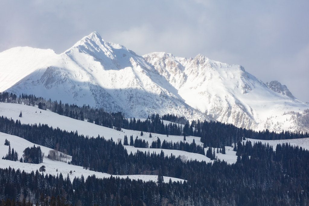
Moderate · 0 mi away
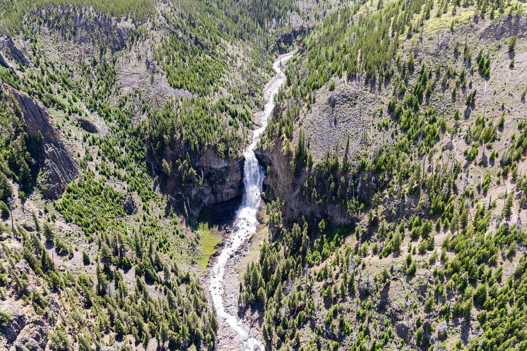
Challenging · 0 mi away
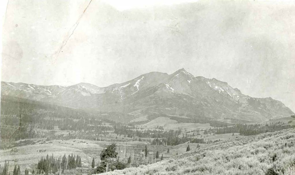
Challenging · 0.1 mi away
Challenging · 0.1 mi away

Parkwolf Tour Guide
