
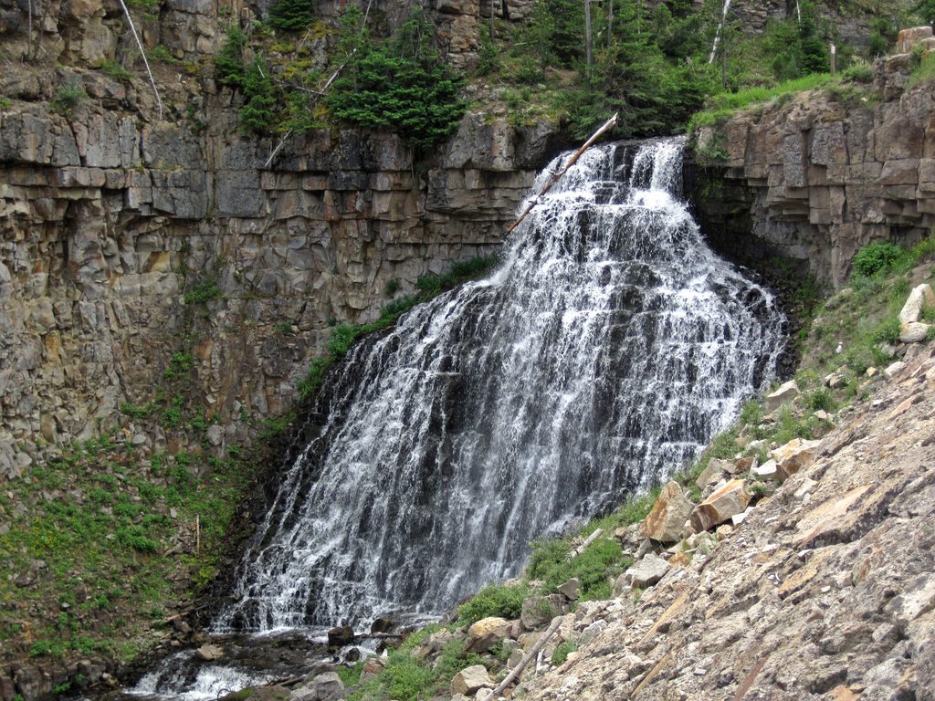
Place · 0.2 mi away
Moderate
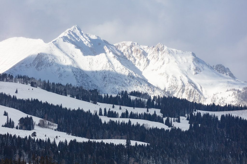
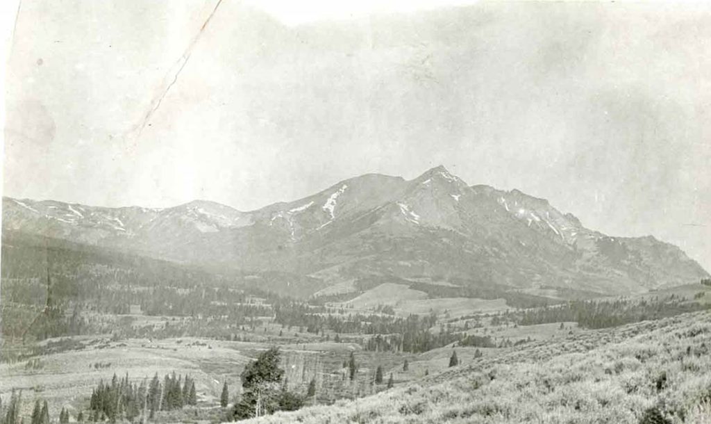
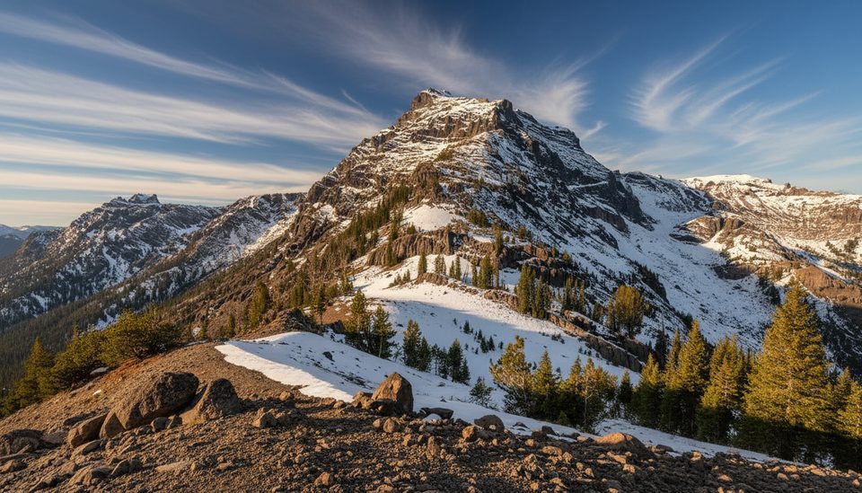
A classic Northern Range summit, Bunsen Peak tops out at 8,564 feet and dishes up huge panoramas for comparatively modest effort. The standard out-and-back is about 4.3 miles total with roughly 1,280–1,300 feet of gain—moderate, steady, and rewarding. Expect consistent uphill on well-built switchbacks, with some loose rock near the top. Most hikers budget 2–3 hours. If you like a direct climb with ever-improving views, this one delivers.
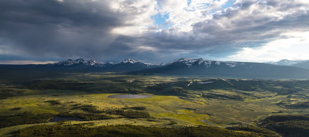
From the trailhead, take the left fork signed for Bunsen Peak (the right heads toward Osprey Falls). Views toward Mammoth arrive early, then the trail settles into sustained switchbacks through sage and open slopes. Near the summit, footing can get a bit rubbly. The top holds communications equipment and a broad 360° vantage—scan Mammoth Hot Springs, Swan Lake Flat, Blacktail Deer Plateau, the Yellowstone River Valley, the Gallatin Range, and, on a crystal-clear day, even the distant Tetons. There’s often a summit register to sign.
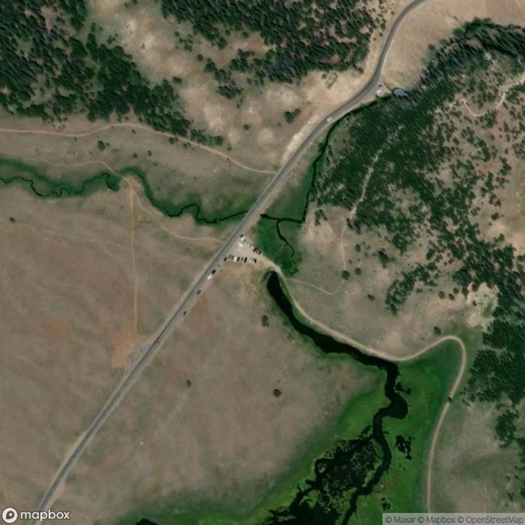
The small gravel lot sits about 5 miles south of Mammoth on Grand Loop Road, just south of Golden Gate and across from the Glen Creek trailhead. It fills early on busy days. There are no toilets or water—come prepared.
Early season can linger with snow and ice on upper, shaded switchbacks into June (and sometimes early July). Traction and poles help. Summer brings a mix of sun and wind—layers are smart, and thunderstorms warrant skipping the exposed summit. You’ll often have cell signal for much of the hike thanks to the summit towers, but don’t rely on it for safety.
This is grizzly country: carry bear spray, hike in a group if you can, make noise, and give all wildlife space. Marmots and pikas are commonly heard or seen among rocky sections; deer and grouse show up too. Stay on trail and mind loose gravel near the top.
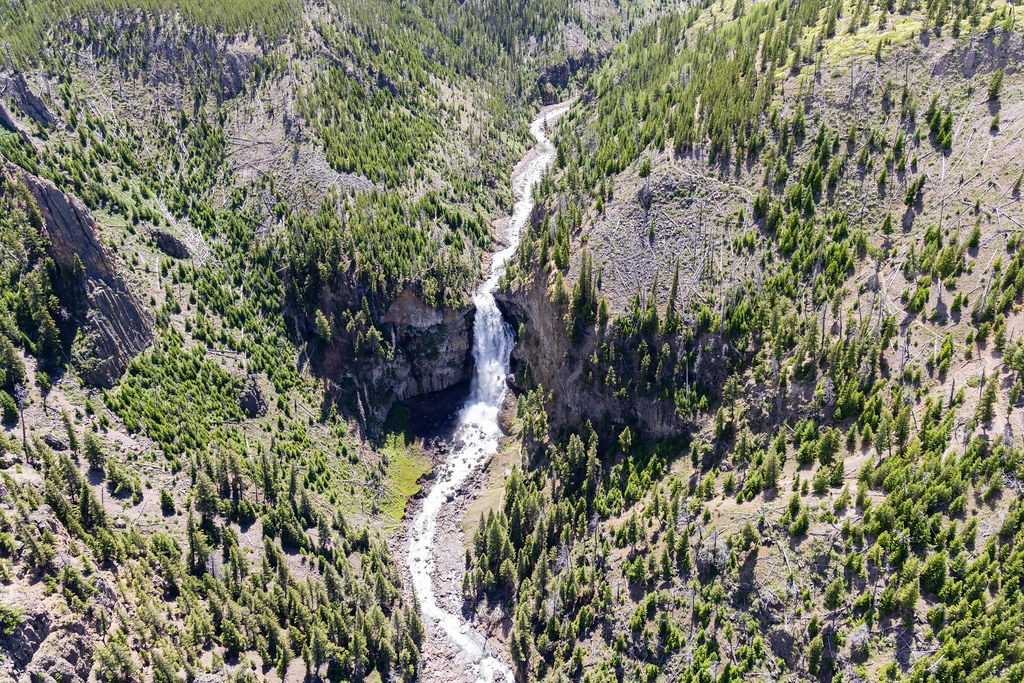
If you want more miles, a longer loop (~7 miles) links the summit to the old Bunsen Peak Road for a different descent. Strong hikers sometimes combine the peak with Osprey Falls for a strenuous, full-day outing.
June through September is prime. Start early for cooler temps, easier parking, and calm air. Sunset can be stellar—the golden light over Swan Lake Flat and the Northern Range is hard to beat—just pack a headlamp for the descent.
Small gravel lot ~5 miles south of Mammoth on Grand Loop Road, just south of Golden Gate and across from the Glen Creek trailhead; no toilets or water and it fills early.
Grizzly country—carry bear spray and hike in groups. Upper switchbacks can hold snow/ice into June and have loose rock near the summit. No water or toilets at the trailhead. Exposed to sun and wind; avoid the summit during thunderstorms.
Place · 0.2 mi away
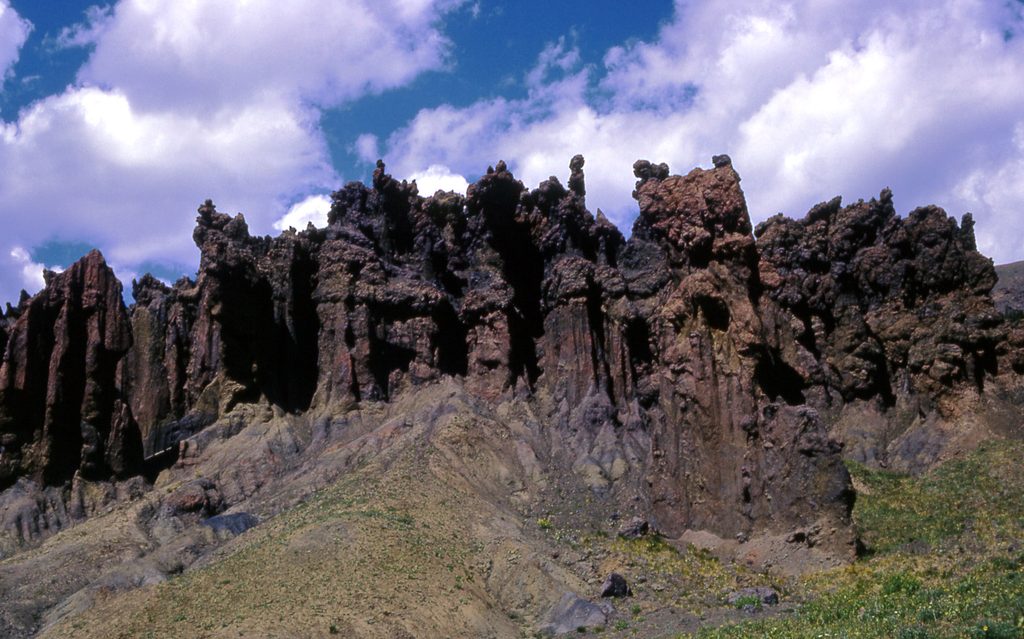
Place · 0.8 mi away
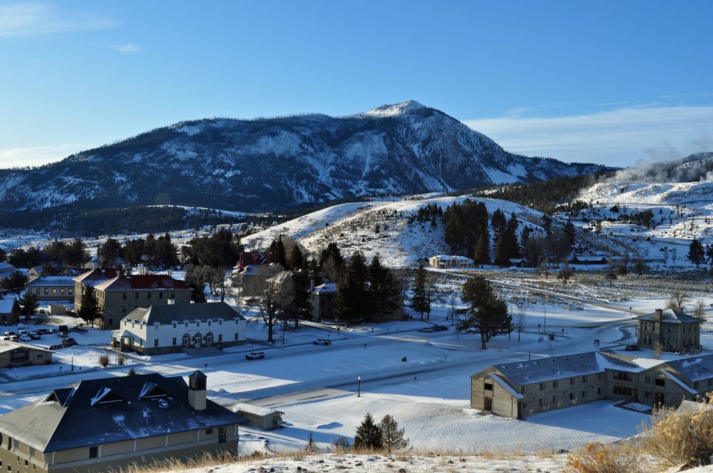
Place · 1 mi away
Place · 1.5 mi away
Challenging · 0 mi away
Moderate · 0 mi away
Challenging · 0.1 mi away
Challenging · 0.1 mi away

Parkwolf Tour Guide
