
Place · 0.1 mi away
Challenging
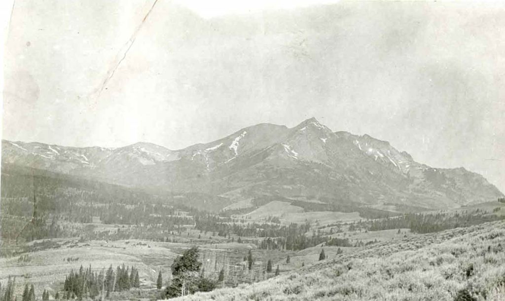
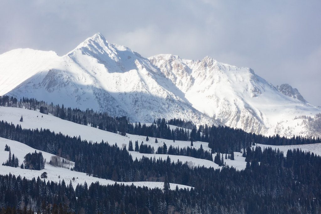
If you want a real Yellowstone summit day, this is it. Electric Peak’s Southeast Ridge is a long out-and-back that typically runs 18–22 miles total with roughly 4,000–5,700 feet of gain depending on where you start and your exact line. Most hikers begin at the Glen Creek Trailhead; some use Snow Pass. Expect mostly mellow trail travel to a junction, then a steep, sustained climb to a nearly 11,000-foot summit. Strong parties can dayhike it in about 9–11 hours; many backpack it over 2–3 days.
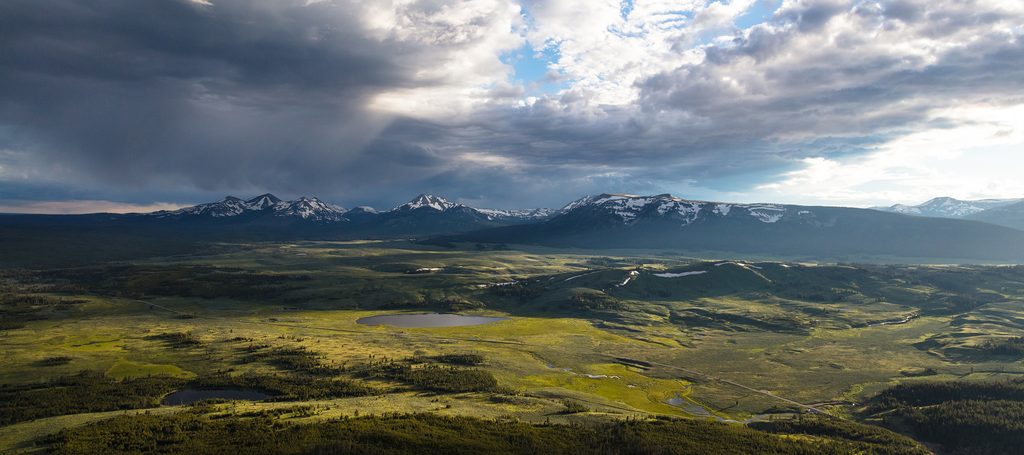
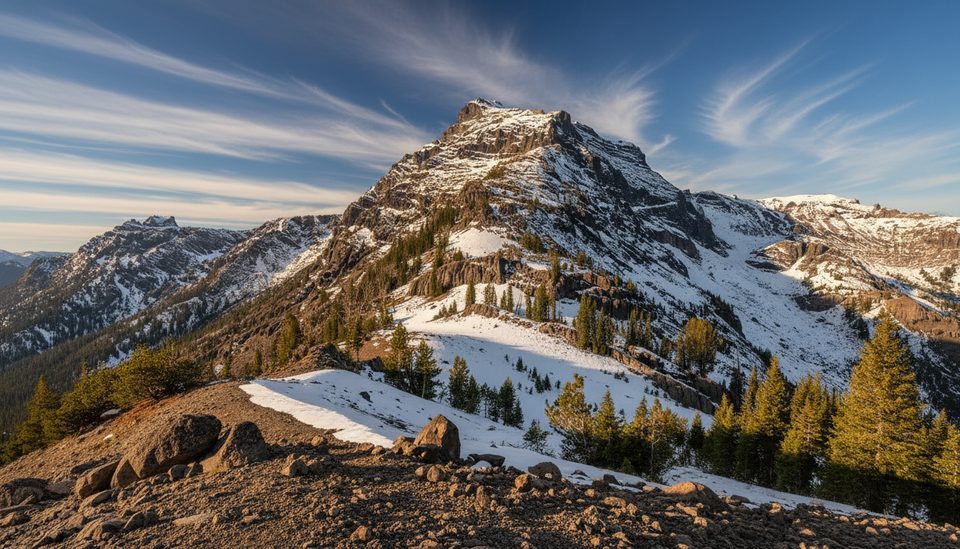
The approach rolls through open sagebrush meadows and pockets of forest with occasional creek crossings and frequent wildlife sightings (give everything lots of space). About six miles in you’ll hit the signed junction for Electric Peak—this is where the character changes. The final ~3 miles gain roughly 3,000 feet, the tread fades, and the rock gets looser. The last 200–300 vertical feet involve Class 2–3 scrambling on blocks and scree with minor exposure. Near the top, don’t force the ridge: it’s common to encounter a tricky gap if you stay on the crest. A safer, well-traveled workaround is to traverse left (northwest) on sheep tracks to a saddle W–NW of the summit, then finish on easier Class 2–3 terrain.
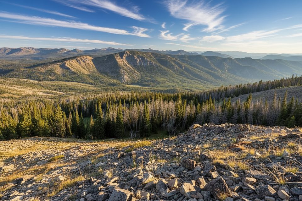
Views are the payoff: a full sweep of Yellowstone high country and, on crystal days, distant Teton silhouettes. Underfoot, the mountain is a study in contrasts—lower slopes dominated by dark Cretaceous shales with sandstone beds, upper ridges more sandstone with crags and pinnacles, and igneous intrusions (dikes and stocks) stiffening the eastern side. It’s a great place to notice how different rock types weather: talus fans where shales crumble, blocky ribs where harder rock holds.
Mid to late summer into early fall is the sweet spot. Snow commonly lingers above 9–10k early season, and late-spring postholing is not unusual. Start early to beat typical afternoon thunderstorms—there’s a reason it’s called Electric Peak. If lingering snow or ice remains high on the ridge, lightweight traction can be helpful.
Dayhikers don’t need a backcountry permit. If you’re backpacking, reserve a designated site—popular options along the Gardiner River include 1G3 and 1G4. Water is generally reliable along Glen Creek and the Gardiner River in the lower/middle sections; the upper ridge is dry. Treat all water. This is grizzly country: carry bear spray, make noise in brushy sections, and store food properly at camp. Pets are not allowed on park trails or in the backcountry.
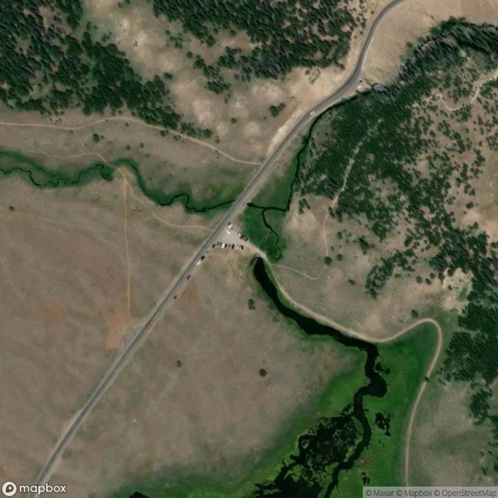
Park at the Glen Creek Trailhead near the South Bunsen Peak area (a few miles south of Mammoth Hot Springs) for the standard, shortest vert approach. Snow Pass Trailhead is a viable alternative that adds roughly more total climbing and starts in shaded forest. Either way, you’ll connect to the Sportsman Lake Trail toward the Electric Peak junction.
Park at Glen Creek Trailhead near the South Bunsen Peak area (south of Mammoth Hot Springs). Snow Pass Trailhead is an alternate start that reconnects with the main approach.
Start early to avoid thunderstorms on exposed ridges. Expect loose rock and short Class 2–3 scrambling near the summit; traverse to the W–NW saddle to bypass a tricky ridge gap. Carry bear spray, give wildlife space, and be prepared for early-season snow and creek crossings.
Place · 0.1 mi away
Place · 0.8 mi away
Place · 1 mi away
Place · 1.5 mi away
Challenging · 0 mi away
Challenging · 0 mi away
Moderate · 0.1 mi away
Moderate · 0.1 mi away

Parkwolf Tour Guide
