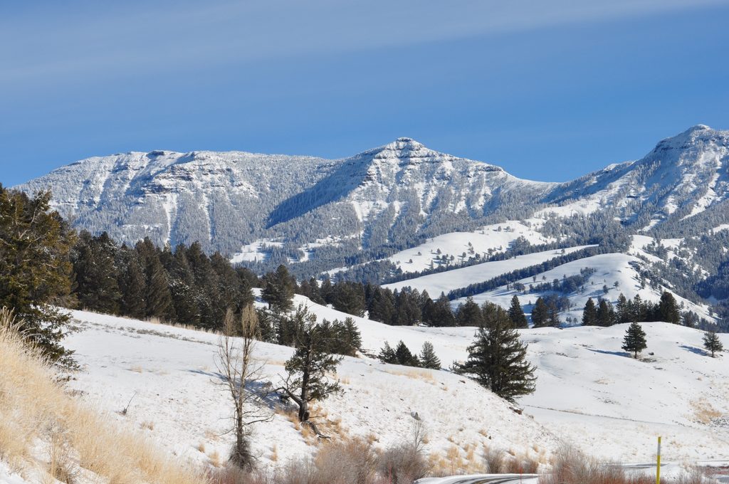
The Thunderer

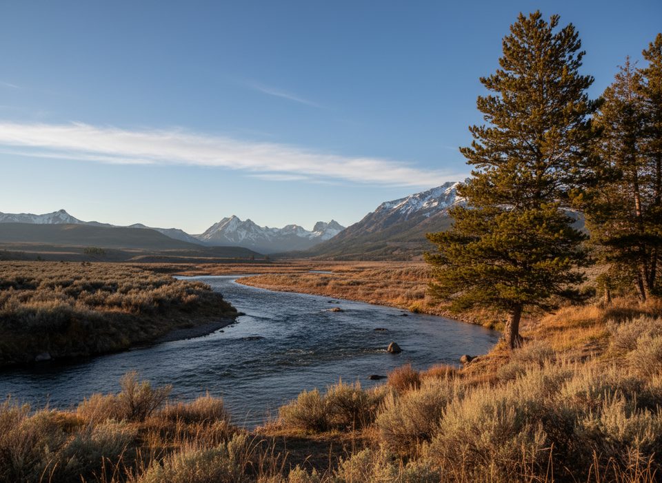
Remote Absaroka summit with a ford, solitude, and sweeping views
The Thunderer, Yellowstone National Park
InsideYellowstone National Park

Overview

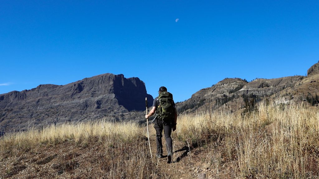
The Thunderer is a 10,558-foot Absaroka Range peak rising above the Northeast Entrance Road, named in 1885 for its knack for attracting thunderstorms. It’s a wild, rewarding objective for experienced hikers who don’t mind a chilly creek ford, steep climbing, and some off‑trail scrambling.

Route Options

  • Thunderer Cutoff out-and-back (to pass, optional summit): About 10.4 miles roundtrip with ~3,087 feet of gain to the pass area and typically 6+ hours. Reaching the true summit adds off-trail travel and Class 3 scrambling on loose volcanic rock, pushing the day to roughly 11 miles and ~3,800 feet of gain. Expect two short cliff-band problems and careful route-finding on the broad northeast ridge.
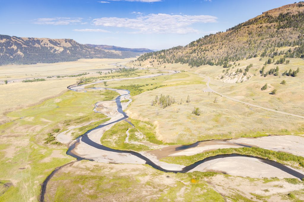
  • Thunderer to Lamar Valley point-to-point: About 18.7–19.8 miles with ~2,677 feet of gain. After the pass, the route drops steeply to Cache Creek, then cruises gentle meadows to the Lamar River Trailhead. Water is plentiful along Cache Creek (treat it), and a shuttle is needed.

What You’ll Deal With

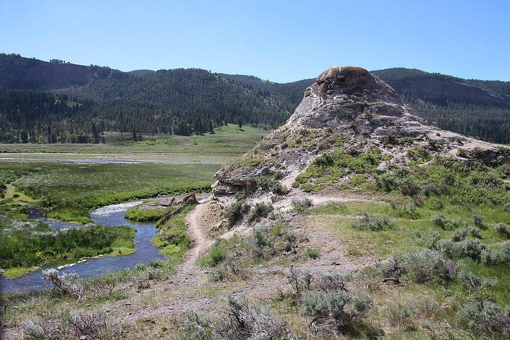
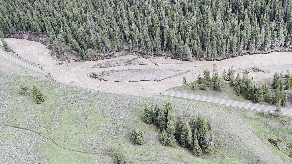
  • River crossing: Within the first quarter-mile you must ford Soda Butte Creek. Depth and speed vary—knee to waist deep in places—especially in June and early July. Many hikers bring water shoes and trekking poles.
  • Trail character: Long forested climb to a pass with sections that are narrow and brushy. Signage is limited and the path can be hard to follow near the summit.
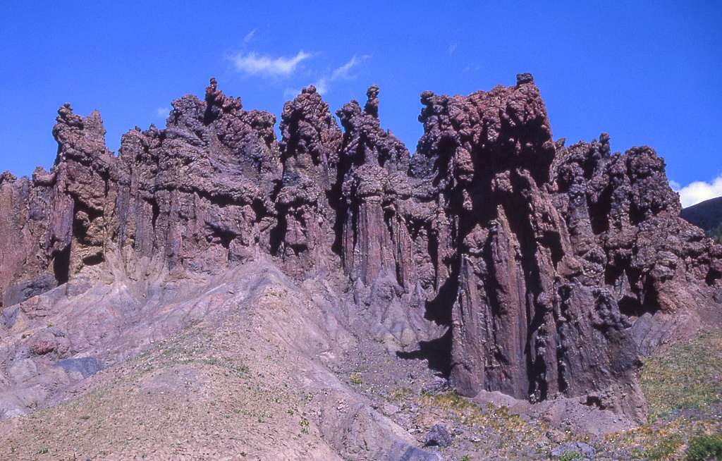
  • Scrambling and rock quality: Above the pass, the summit push is off-trail on loose Absaroka volcanic rock with short cliff bands. Careful route-finding and a cool head are essential.

Wildlife & Regulations

This is prime grizzly and bison country. Carry bear spray, make noise, and give wildlife a very wide berth. Mountain goats and bighorn sheep frequent nearby peaks. Dogs are not allowed on these trails. Petrified wood is abundant—photograph only; collecting is illegal.

Logistics

The trailhead is a small roadside pullout on the south side of the Northeast Entrance Road, about 8.4 miles west of the Northeast Entrance. There are no services at the pullout. The nearest facilities are at Pebble Creek and Slough Creek campgrounds (water and pit toilets). For the point-to-point, backcountry camps along Cache Creek exist by permit; secure permits in advance and follow all regulations.

Best Time to Visit

May through September offers the best shot at snow-free travel; early season flows can make the ford cold and hazardous. Late summer and early fall are typically most reliable. Start early for a long day, especially if you’re aiming for the summit or the full traverse.

Is It Worth It?

If you’re after solitude, big country, and a touch of mountaineering flavor, The Thunderer delivers. For casual hikers, the mandatory ford and rough, lightly signed trail make this a better choice for confident backcountry travelers.

Pros

  • Big, lonely summit views over the Northern Range
  • Multiple route options, from a hard out-and-back to a long traverse

Cons

  • Immediate unbridged ford of Soda Butte Creek
  • Sparse signage and overgrown sections make navigation tricky
  • Summit requires off-trail Class 3 scrambling on loose rock

Tips

  • Bring water shoes and trekking poles for the Soda Butte Creek ford.
  • Download offline maps; signage is limited and the route can be overgrown.
  • Carry bear spray and give bison and bears an exceptionally wide berth.
  • Wear long pants to deal with brush on the Thunderer Cutoff Trail.
  • Arrange a shuttle if hiking the point-to-point into Lamar Valley.
The Parkwolf tour guide sitting on a phone mounted in a car

Parkwolf Tour Guide

Like a tour guide in your car.

Save the places you found around Yellowstone, then let Parkwolf guide the drive between them.Download Parkwolf on the App Store