
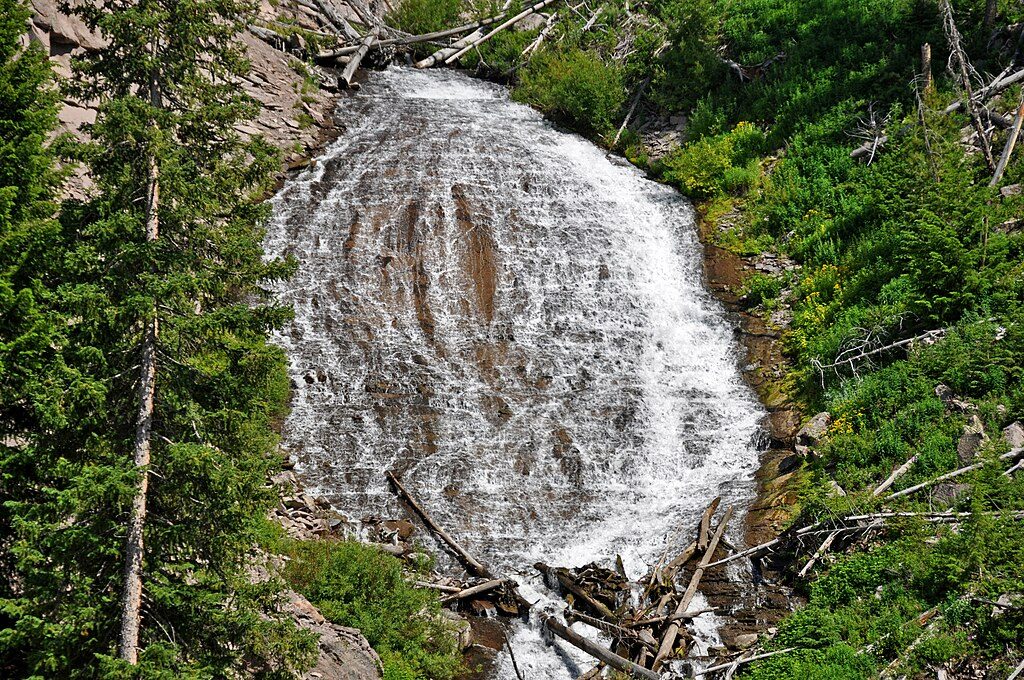
Place · 1.9 mi away
Moderate
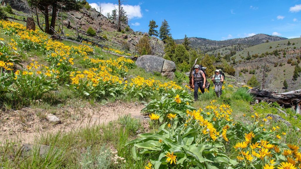
This Northern Range classic drops from open grasslands into cool Douglas‑fir forest and ends at a suspension bridge over the Yellowstone River. It’s commonly listed as 11 miles total (out and back) with about 1,100 feet of descent to the river—meaning you’ll earn it on the climb back. Some hikers report a shorter 7–8 mile outing when turning around at or near the bridge, so expect mileage to vary with your turnaround point and confirm with current maps.
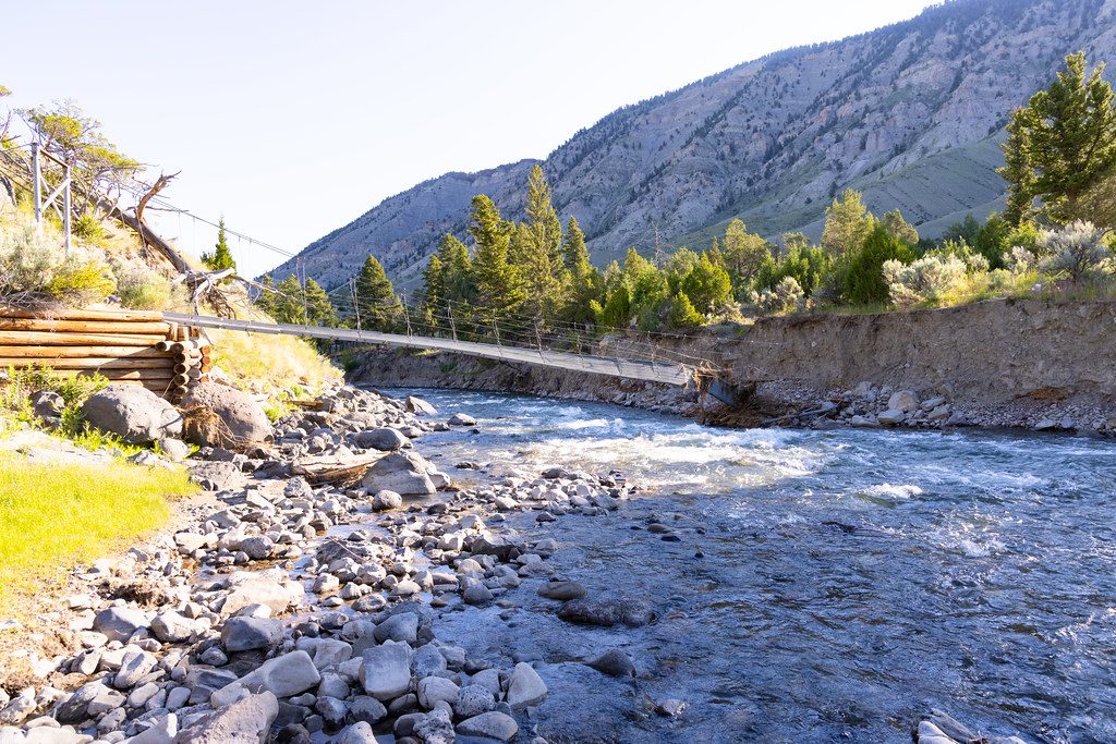
Start about 7 miles east of Mammoth Hot Springs on the Grand Loop Road. The first miles roll through broad, wildlife‑rich meadows before the trail tucks into a deeper valley with volcanic cliffs and striking columnar lava, then transitions to predominantly wooded walking as you approach the Yellowstone River. A side path roughly four miles in crosses Blacktail Deer Creek toward two rustic patrol cabins and river access. The marquee moment is the suspended pack bridge spanning the green waters of the Yellowstone; beyond it, a short forested stretch leads to meadows and the junction with the Yellowstone River Trail. Ambitious hikers can continue about 1.5 miles farther along the river to Knowles Falls (adds ~3 miles round trip).
Look for bison, elk, and pronghorn in the open country; both grizzly and black bears use this drainage, especially in shoulder seasons. In summer, the meadows pop with wildflowers and butterflies. Geologically, you’re walking through Yellowstone’s Northern Range—older Absaroka volcanic rocks draped by glacial deposits—before dropping to the actively carving Yellowstone River canyon.
Late spring through fall. Early season can bring lingering snow, mud, and high creek flows; summer often means afternoon thunderstorms but also peak wildflowers; fall offers cooler temps and clearer trails. Start early for cooler air on the climb out and easier parking, and for softer side‑light on the meadows.
From the main trail you can link to the Blacktail Ponds Spur, Rescue Creek Trail, and the Yellowstone River Trail. The route extends across the Wyoming–Montana border toward Crevice Lake, with designated backcountry camps at Crevice Lake, Lower Blacktail Creek, and near the Yellowstone River Bridge. Overnight trips require a backcountry permit; camp only at assigned sites and follow food‑storage rules.
This is bear country—hike in groups, make noise in brushy sections, and carry bear spray (and know how to use it). Stay 100 yards from bears and wolves and 25 yards from all other wildlife. Pets aren’t allowed on park trails. Do not attempt to ford the Yellowstone River. Expect and yield to horseback riders. Treat all water, stay on established trails, and practice Leave No Trace.
Small dirt lot near Blacktail Deer Pond about 7 miles east of Mammoth on the Grand Loop Road; fills quickly. Overflow parking at the Blacktail Deer Creek Stock Trailhead.
Grizzly country—carry bear spray and give wildlife ample space. Do not ford the Yellowstone River. Expect horse traffic; yield appropriately. Early season runoff can swell creeks and muddy sections. The climb back out is sustained.
Place · 1.9 mi away
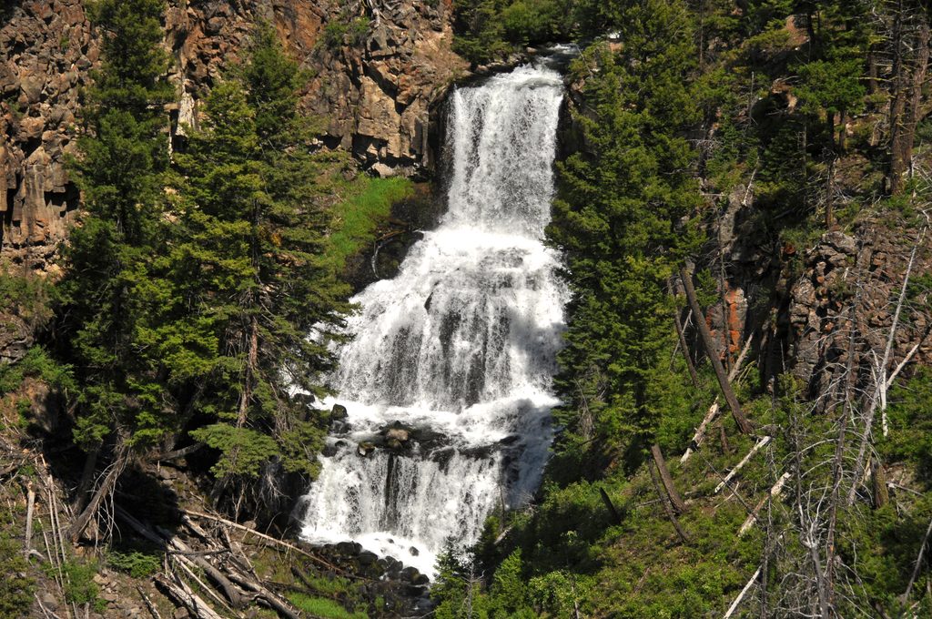
Place · 2.4 mi away
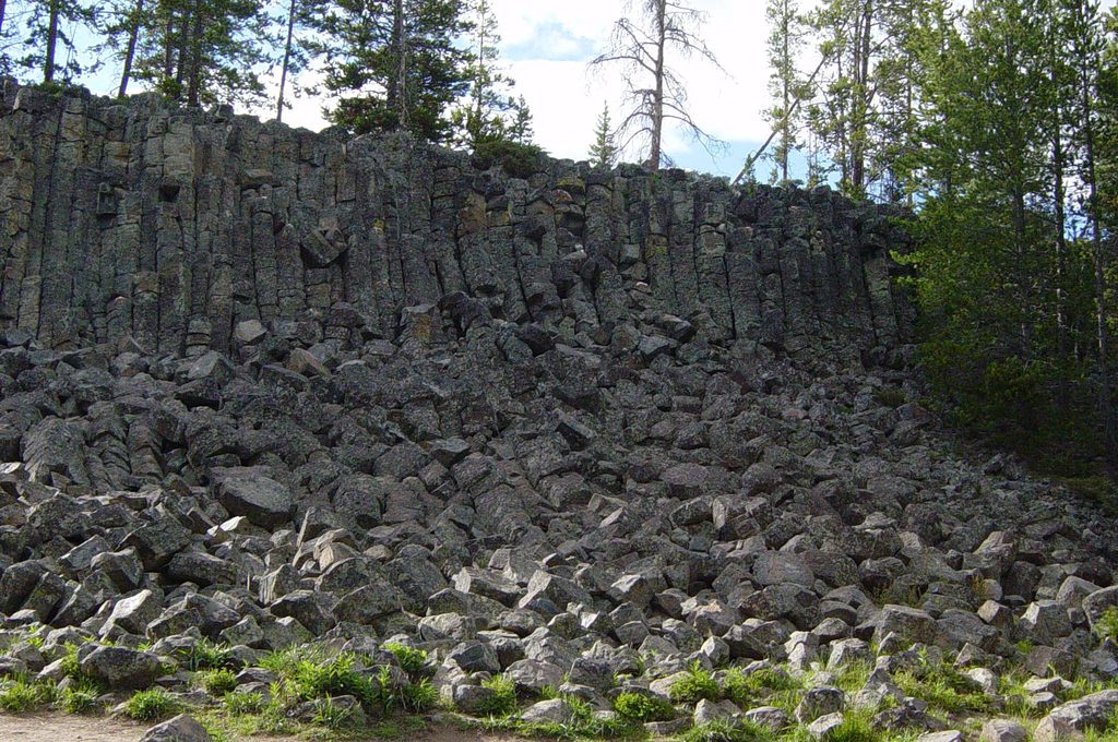
Place · 4.3 mi away
Place · 4.6 mi away
Easy · 1.4 mi away
Easy · 1.7 mi away
Moderate · 3.3 mi away
Easy · 5.5 mi away

Parkwolf Tour Guide
