Undine Falls

Easy roadside view of a graceful three-tiered cascade
Undine Falls, Yellowstone National Park
InsideYellowstone National Park

Overview

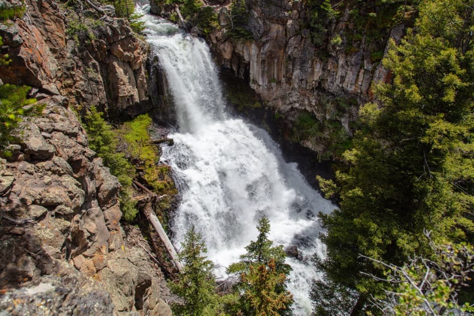
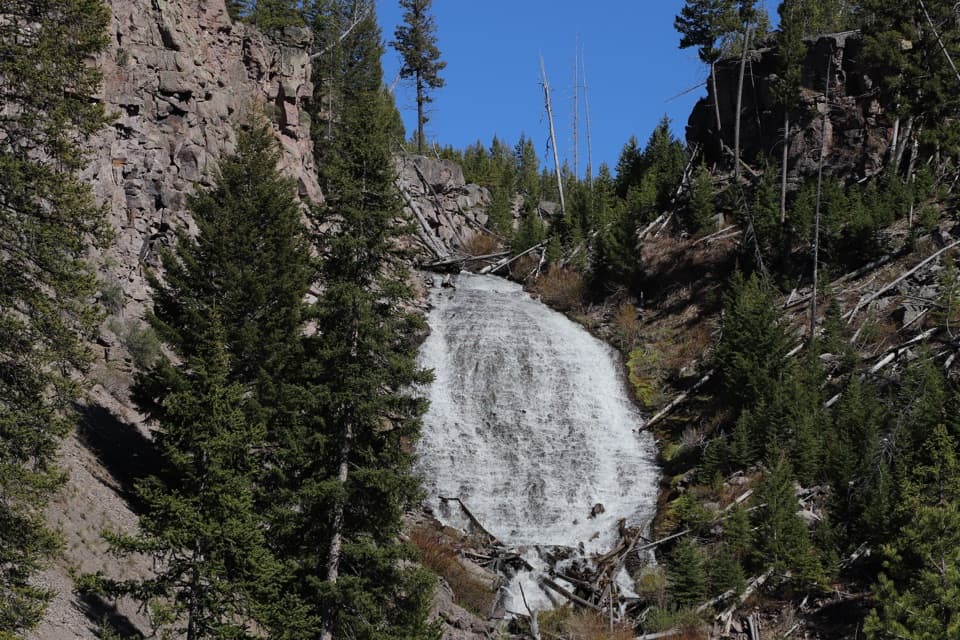
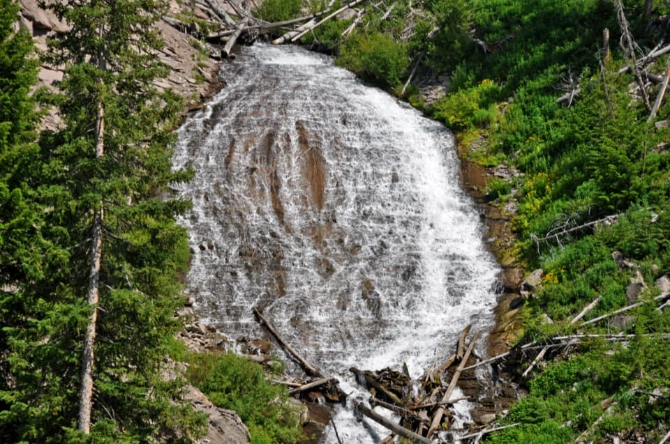
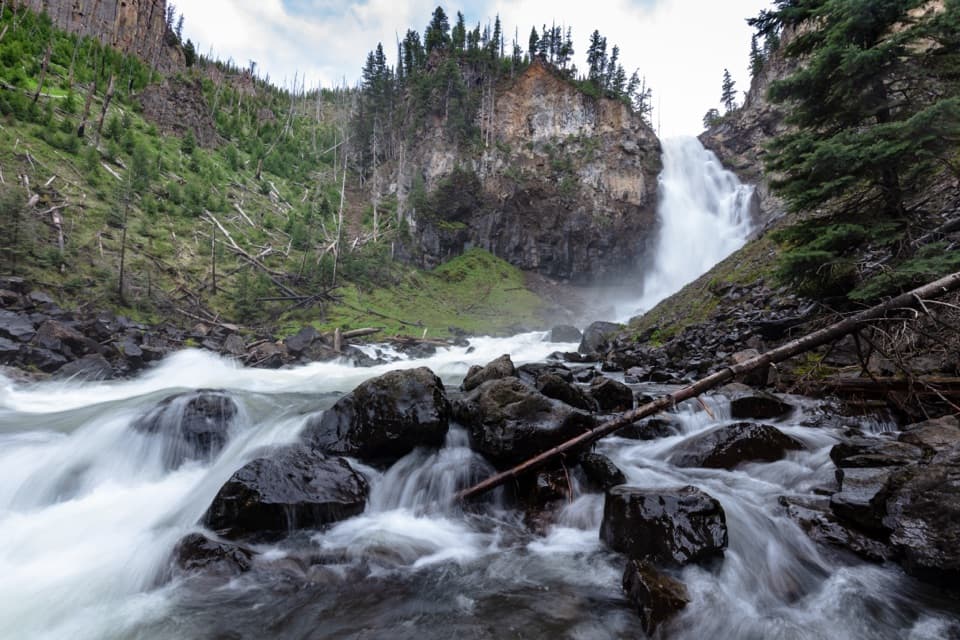
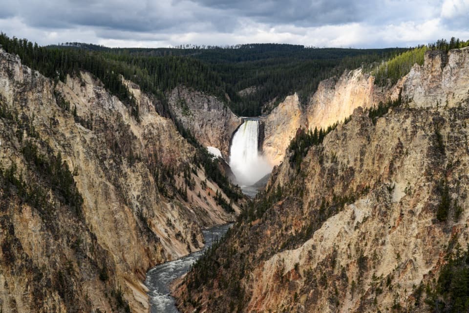
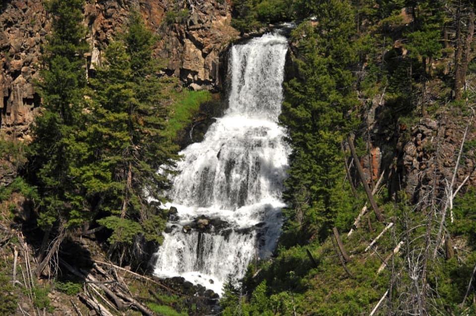
Undine Falls is a graceful, three-tiered, ~60‑foot cascade on Lava Creek, about four miles east of Mammoth Hot Springs along the Grand Loop Road toward Tower Junction. It’s a classic quick stop: pull over, take a short stroll to the overlook, and you’ve got a postcard view.

What You’ll See

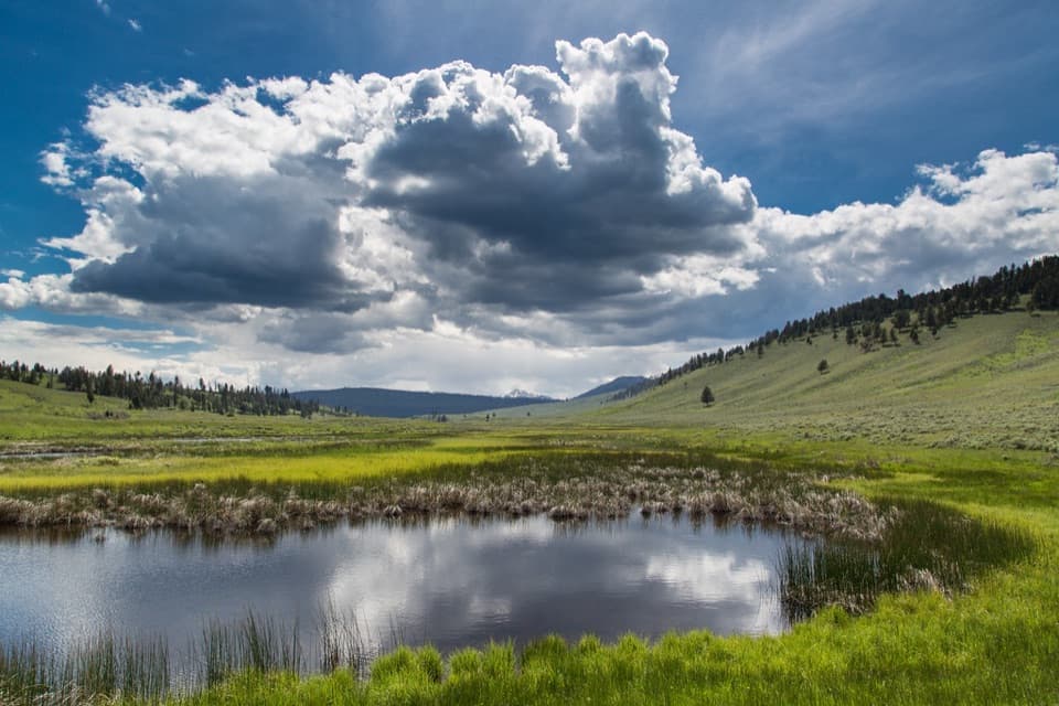
From the roadside overlook you can frame all three drops of the falls at once. In spring the flow can be especially strong; in summer the surrounding meadows green up, and wildflowers add color along nearby paths. The falls are visible year‑round.

Ways to See It

  • Roadside overlook: A small pullout leads to a short path and a broad, photogenic angle on the falls.
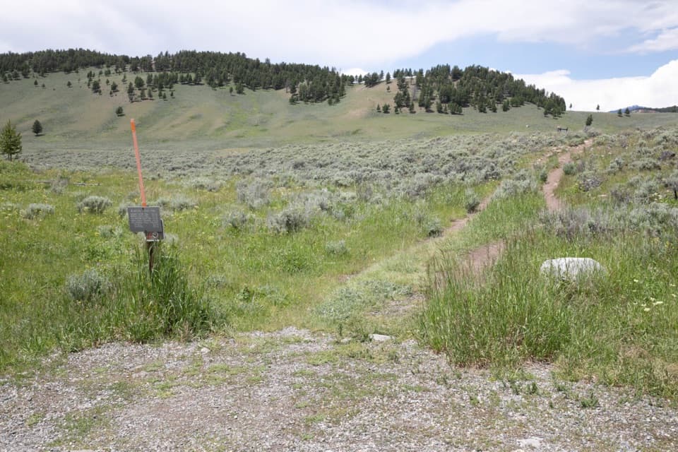
  • Lava Creek Picnic Area to the brink (0.4 miles one way): A mostly flat, open walk across meadow leads to the top of the falls. Expect little to no shade and mind the edges near the brink—there are steep drop‑offs and no rails.
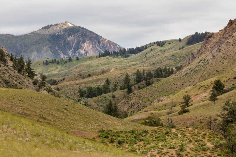
  • Longer options: The Lava Creek Trail (about 4.2 miles one way) brings you closer to the falls and into scenic canyon country; there’s also a popular ~1.7‑mile out‑and‑back route in the area, and a longer Lava Creek Canyon option. These trails are best from roughly May through October.

Wildlife

This corridor is active for wildlife. Bears (including grizzlies) use the Lava Creek area—carry bear spray and give all animals space. Marmots are commonly spotted near the brink trail, and birding is solid along the creek.

History & Geology

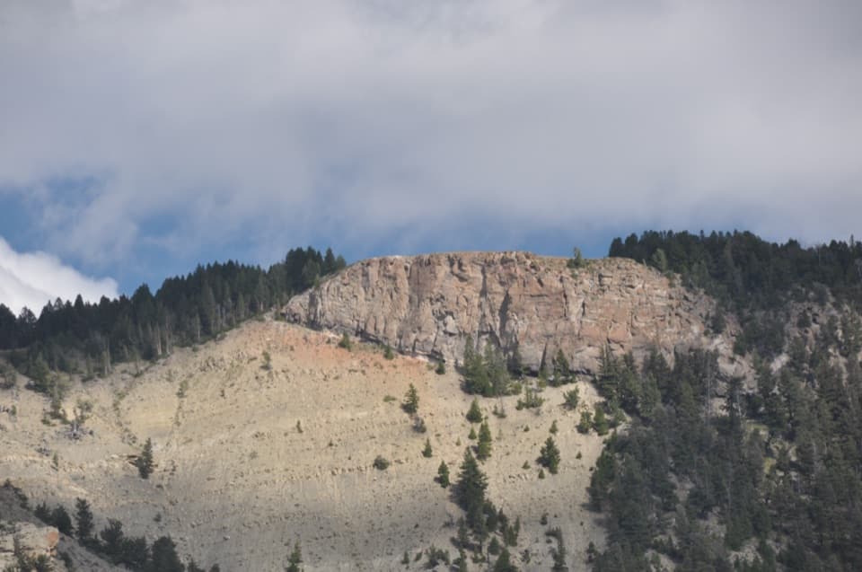
Lava Creek tumbles over an ancient basalt flow, dropping in three distinct steps. The name “Undine” was given in 1885 by geologist Arnold Hague, nodding to water spirits from German mythology associated with waterfalls.

Practicalities

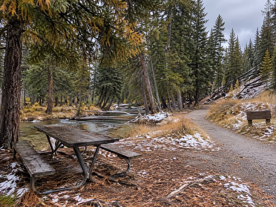
There are no services at the Undine Falls pullout. The nearest facilities are at Lava Creek Picnic Area, which has parking, picnic tables, and restrooms. If the overlook is crowded, parking at the picnic area and walking to the brink is a great Plan B.

Best Time to Visit

  • Quick stop: Anytime you’re driving the Mammoth–Tower corridor.
  • Hiking: Late spring through early fall (roughly May–October) for dry trails and wildflowers. The brink path is exposed—midday can be hot and bright.
  • Crowds: The pullout is small and can fill at peak times, but turnover is usually quick.

Pros

  • Easy roadside overlook with a full view of the three tiers
  • Short, family-friendly walk from Lava Creek Picnic Area to the brink

Cons

  • Small pullout with no services
  • Steep, unrailed drop-offs at the brink area

Tips

  • If the overlook pullout is full, park at Lava Creek Picnic Area and walk the 0.4‑mile trail to the brink.
  • Carry bear spray on any hike here—bears frequent the Lava Creek area.
  • The brink path has no shade; bring sun protection and water.
  • Keep children well back from the brink—there are steep drop‑offs and no rails.
  • No restrooms at the overlook; use the facilities at Lava Creek Picnic Area.
The Parkwolf tour guide sitting on a phone mounted in a car

Parkwolf Tour Guide

Like a tour guide in your car.

Save the places you found around Yellowstone, then let Parkwolf guide the drive between them.Download Parkwolf on the App Store