
Place · 3.2 mi away
Easy
A short, low‑effort payoff. This 0.5–0.6 mile loop boardwalk (total distance) crosses open sagebrush and grassland on Blacktail Deer Plateau between Mammoth Hot Springs and Tower Junction (signed as a self‑guiding trail). Expect about 10–20 minutes of walking with roughly 13 feet of gentle elevation change. Benches and frequent interpretive panels turn it into a quick natural‑history primer rather than a “hike.”
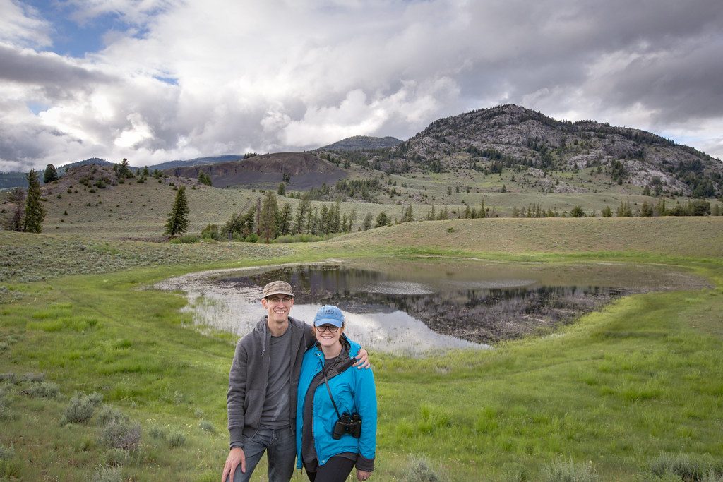
Big, open Northern Range vistas with peak‑ID signage, plus easy‑to‑digest stops on glacial boulders, fire ecology, meadow communities, and the wildlife that uses this landscape. The surrounding hills are prime for spotting bison; elk, pronghorn, and coyotes also wander through. On lucky days you may catch distant wolf activity—binoculars or a scope help.
The boardwalk is designed to be accessible: edge barriers, a generally gentle grade (about 3% or less), an average width near five feet with passing spaces, and benches for breaks. That said, the surface can be bumpy in places and some gaps between boards may exceed a half‑inch. Tactile exhibits and audio description are available. Parking is a gravel lot without clearly designated accessible spaces, and there are no restrooms at the trail; the nearest accessible toilet is at the Blacktail Creek pullout.
Late spring through early fall is the sweet spot. Snow can linger in early spring, so check conditions. Clear evenings set up the best light for photography—sunset color over the range can be excellent. Open meadows bloom from late spring into summer, and fall colors can be lovely. Bugs can be pesky on calm days; bring repellent. Crowds here are typically light compared to marquee stops.
If you’re chasing mileage or thrills, this isn’t it. But as a fast, family‑friendly leg‑stretcher with real interpretive value and sweeping views right off the Grand Loop, it’s a smart stop between Mammoth and Tower. Stay on the boardwalk and give wildlife a wide berth—bison are common here.
Small gravel lot at the trailhead on the Grand Loop Road between Mammoth Hot Springs and Tower Junction (about 8.3 miles east of Mammoth). No clearly designated accessible spaces.
Wildlife is common—stay on the boardwalk and keep at least 100 yards from bears and wolves and 25 yards from other animals. Spring snow may linger; boardwalk surfaces can be uneven with occasional wide gaps.
Place · 3.2 mi away
Place · 3.7 mi away
Place · 5.7 mi away
Place · 5.8 mi away
Moderate · 1.4 mi away
Easy · 3 mi away
Moderate · 4.7 mi away
Moderate · 5.7 mi away

Parkwolf Tour Guide
