Parking
Park at Lava Creek Picnic Area off Grand Loop Road, then cross the road to Lava Creek Picnic Area Trailhead (1N6). Parking can be limited at times; a vault toilet is at the picnic area.
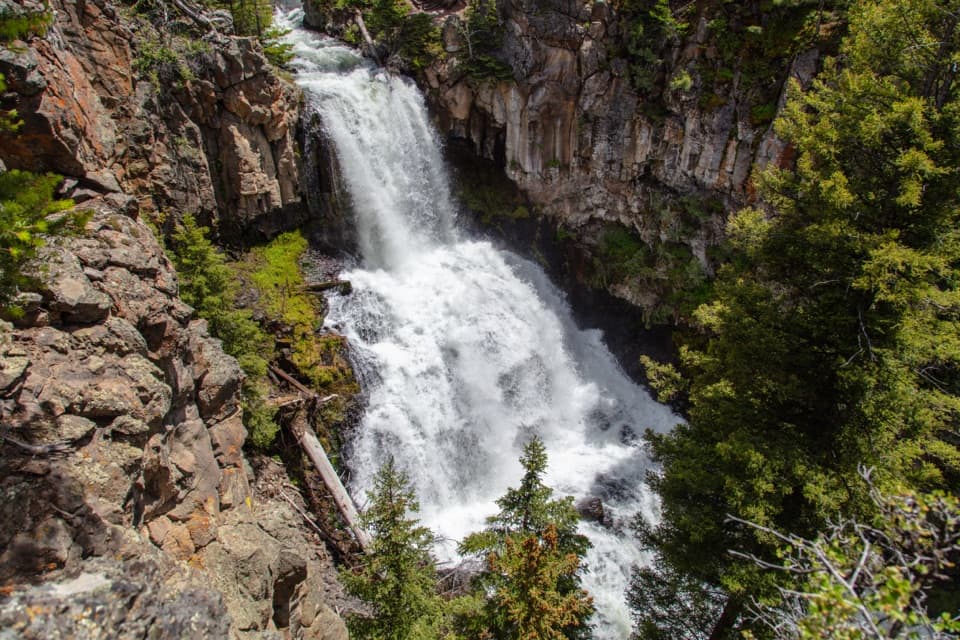
Yellowstone National Park, WY · MT · ID
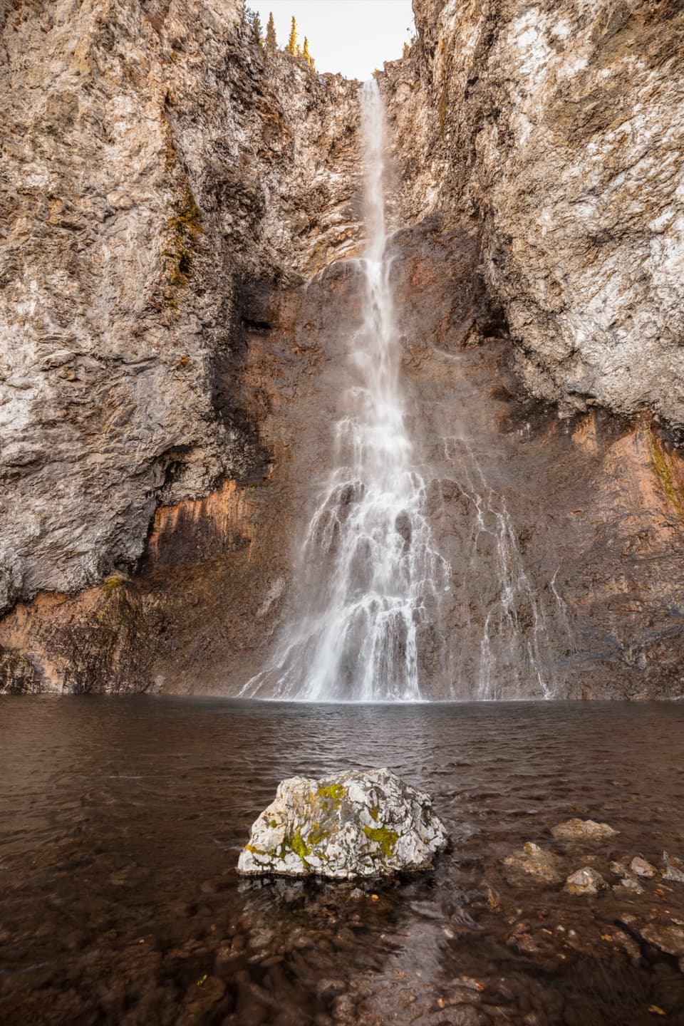
A creek canyon leads to a 60-foot waterfall and river junction.
Overview
Map & elevation
Plan your hike

The highest, rockiest slopes around here are a summer buffet for grizzly bears.
Yellowstone Tour Guide
Parkwolf is a GPS audio tour guide for Yellowstone National Park. As you drive, it chimes in with what’s ahead: hidden gems, upcoming stops, history, geology, and wildlife, right through your car’s speakers.
See the Yellowstone audio tourRecorded for this trailhead
Lava Creek Picnic Area“You’re coming up on Lava Creek Picnic Area, a small creekside lunch stop near Mammoth. There are just five tables, so it’s a simple place to eat outside if you’ve brought food and drinking water.”
Plays as you drive up to this trailhead in the Parkwolf Yellowstone Tour Guide.
More stories near here in the app
“First time driving through a national park. We used the Yellowstone tour on grand loop Road and it’s just like having a tour guide in your car with you.”


Trail guide
Lava Creek Trail is a 4.2-mile one-way route between separate trailheads in Yellowstone’s Mammoth area, following Lava Creek and the Gardner River to Undine Falls and the streams’ confluence. Walking back to your starting point makes it 8.4 miles round trip; allow about 4–6 hours for the full walk. The waterfall and river canyon are the payoff, but this is a substantial hike rather than a quick roadside stop.
The first 250 feet are level on hard-packed soil, then the trail drops steeply toward the Gardner River. Undine Falls drops 60 feet into the canyon, and the confluence of Lava Creek and the Gardner River is another landmark along the way. At the falls, leave some of the columned rock wall and surrounding gorge in the frame; a tight crop loses the scale of the setting.
Start across Grand Loop Road from Lava Creek Picnic Area at Lava Creek Picnic Area Trailhead (1N6). The picnic area has a vault toilet, and parking can be limited at times. The descent becomes a steep climb on the same-route return. Grizzly bears frequent this area, and pets are not allowed on the trail.
Wildlife
 713 sightingsGrizzly BearMost seen around 6 AMSighting map
 743 sightingsWolfMost seen around 6 AMSighting map
 5,273 sightingsBisonMost seen around 7 AMSighting map
 3,258 sightingsElkMost seen around 7 PMSighting map
 397 sightingsMooseMost seen around 7 PMSighting map
 1,494 sightingsBlack BearMost seen around 7 PMSighting map
Sighting maps show where each species has been reported across Yellowstone. Wildlife moves, so no sighting is guaranteed.
Keep exploring
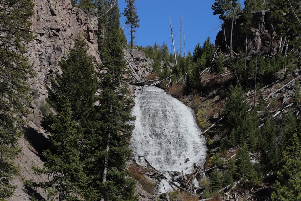 EasyWraith Falls Trail0.8 mi · 45 min · 0.4 mi awayA short meadow walk ends at a 79-foot waterfall viewpoint.
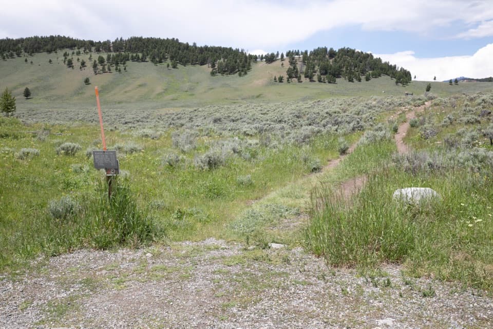 ChallengingBlacktail Deer Creek to Yellowstone River Trail7.4 mi · 4.5 hr · 2.1 mi awayGrassy hills lead down to a river bridge, then back up.
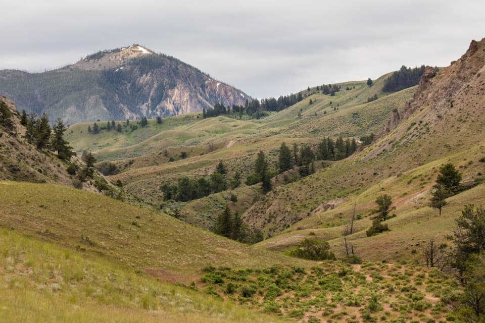 ModerateRescue Creek Trail8 mi · 5.5 hr · 2.1 mi awayA Northern Range crossing through meadows, forest and sagebrush.
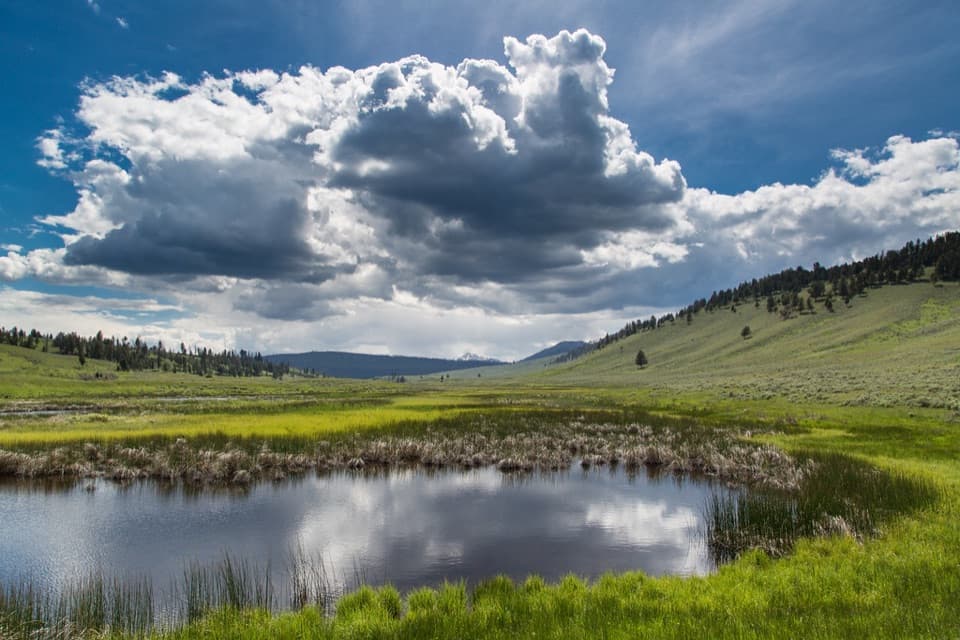 EasyBlacktail Ponds Spur Trail2.2 mi · 1.1 hr · 2.2 mi awayEasy 2.2-mile connector between Blacktail Deer Creek and Lava Creek trails.
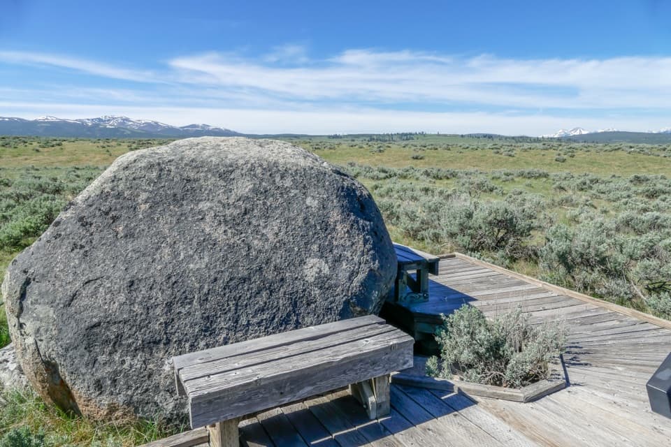 EasyForces of the Northern Range Self-guided Trail0.5 mi · 45 min · 3.5 mi awayEleven exhibit stops on an easy half-mile boardwalk walk.
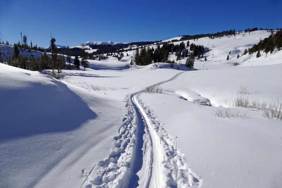 ModerateSnow Pass Trail3 mi · 2.5 hr · 4.1 mi awayA steep, forested climb to a 7,450-foot pass.
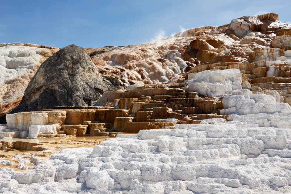 ModerateMammoth Hot Springs Lower Terraces Trail1.8 mi · 1.3 hr · 4.2 mi awayWalk boardwalks past colorful travertine shelves that keep rebuilding.
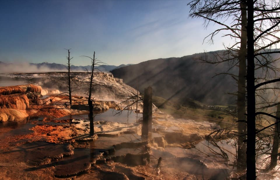 EasyMammoth Hot Springs Upper Terrace Boardwalk Trail0.6 mi · 30 min · 4.2 mi awaySee changing hot spring colors from the upper boardwalk.
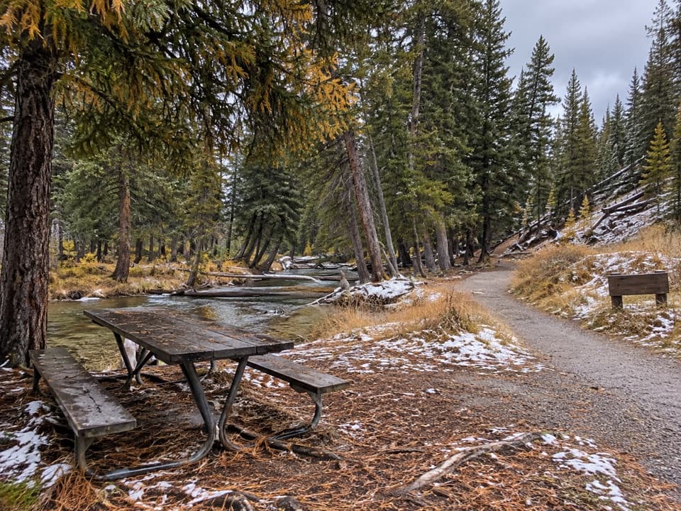 Picnic area · At the trailheadLava Creek Picnic AreaFive tables beside Lava Creek; two trails start across the road.
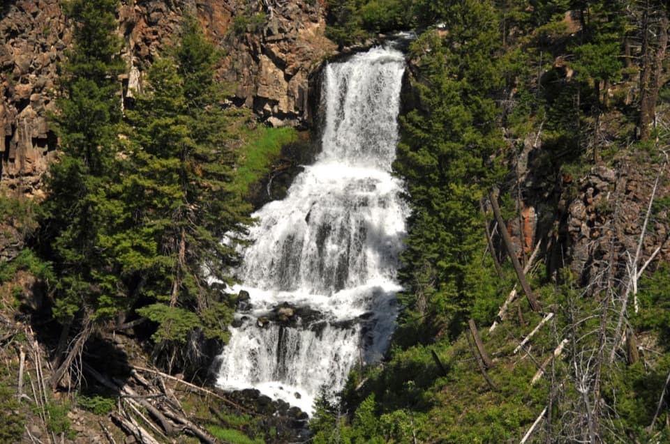 Sight · 0.4 mi awayUndine FallsA 60-foot waterfall breaks into three drops just off the road.
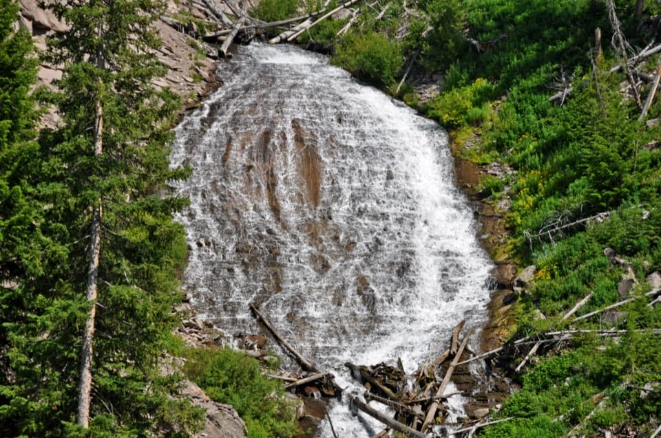 Sight · 0.5 mi awayWraith FallsA short climb to a 79-foot cascade on Lupine Creek.
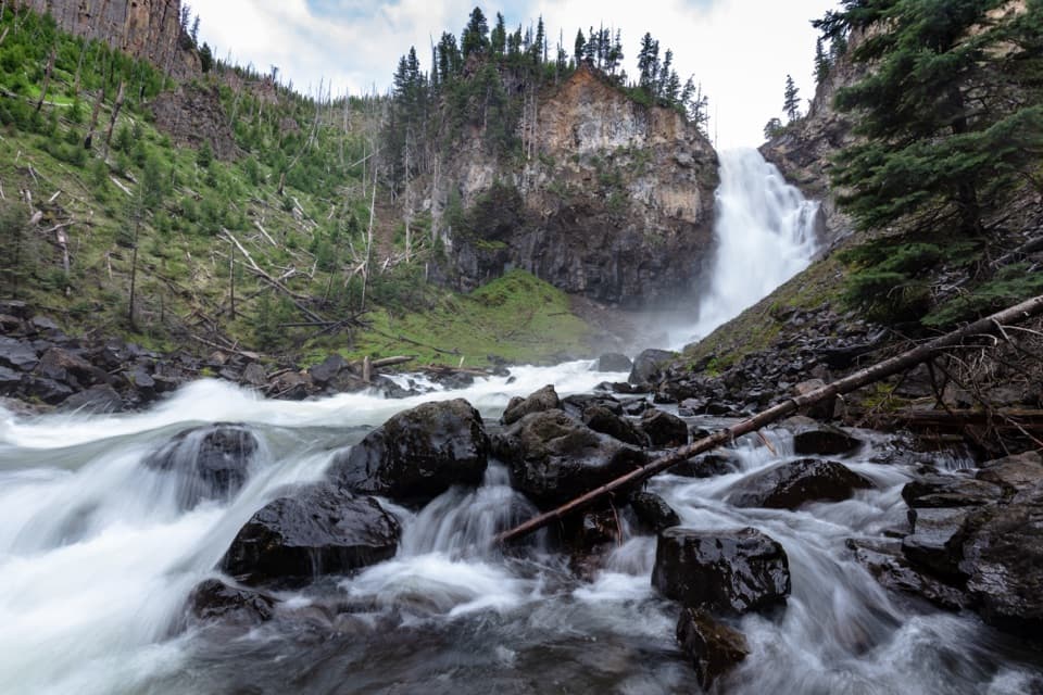 Sight · 2.5 mi awayOsprey FallsA hard hike to a 150-foot waterfall in Sheepeater Canyon.
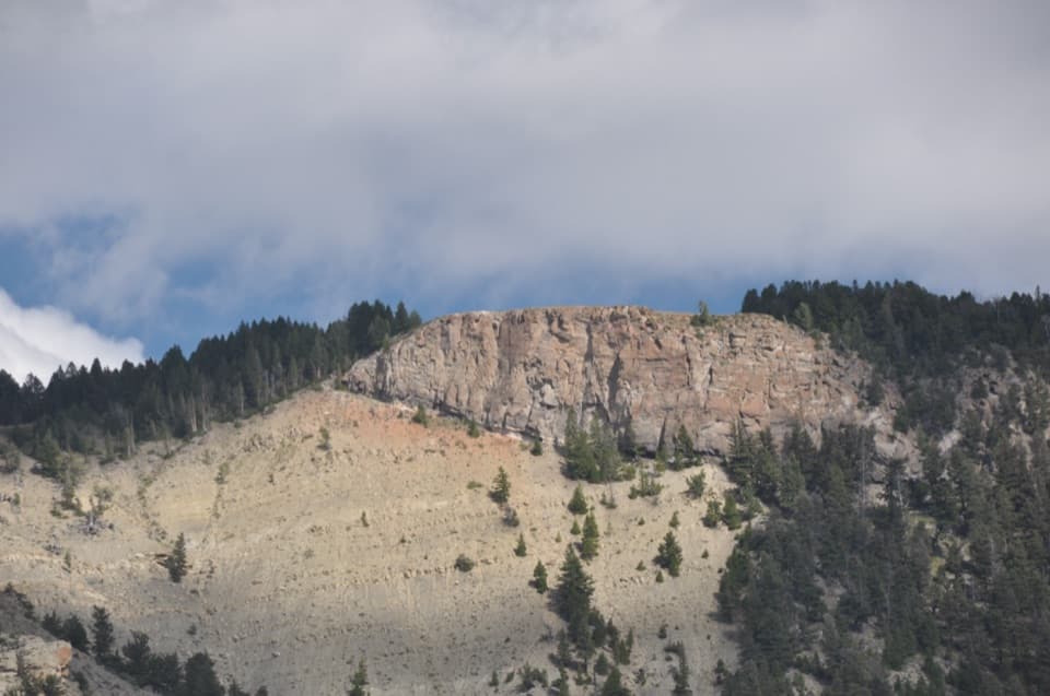 Sight · 2.6 mi awayMount Everts ViewpointA 37-day survival story above layers separated by 60 million years
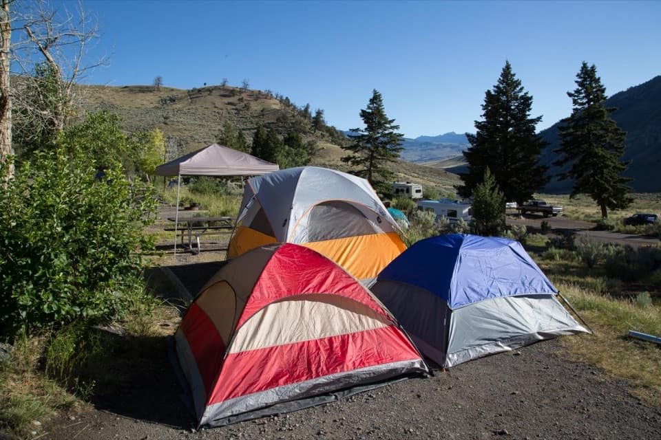 Campground · 3.9 mi awayMammoth CampgroundA base where elk sometimes wander among the campsites.
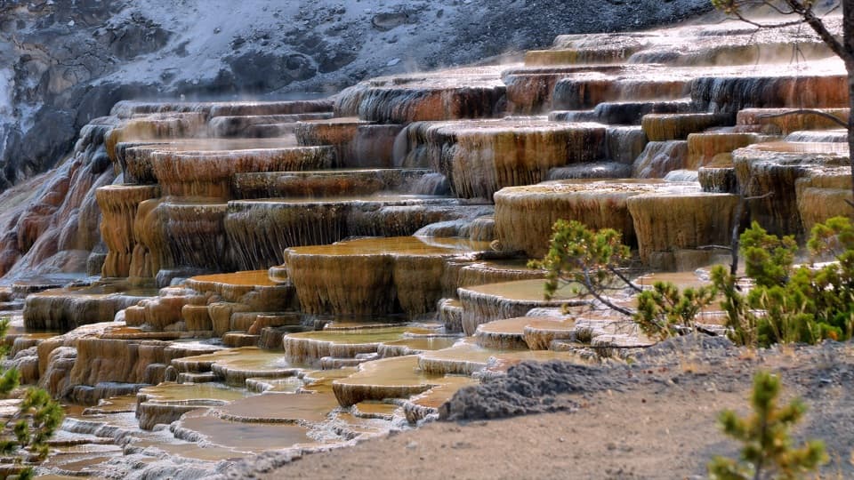 Sight · 4.1 mi awayMammoth Hot Springs Lower TerracesHeat-loving microbes tint travertine orange, green and brown.
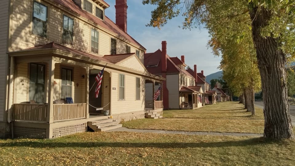 Sight · 4.1 mi awayFort YellowstoneAn easy walk through the Army post that became park headquarters.
Parkwolf’s Yellowstone ranking

The audio tour guide for the drive, plus offline maps, trails, and wildlife heatmaps for when the signal drops.