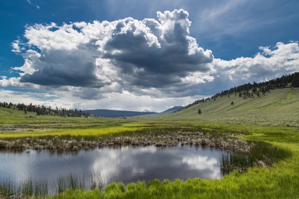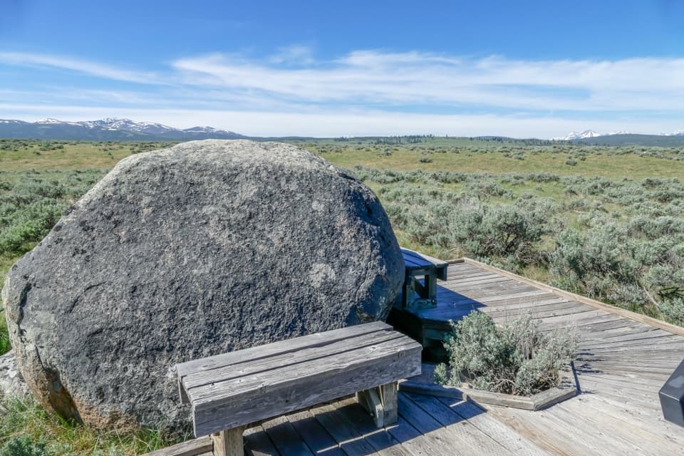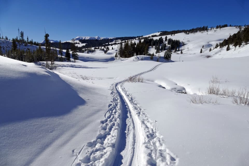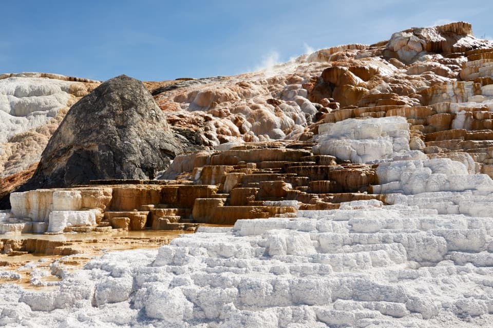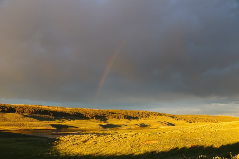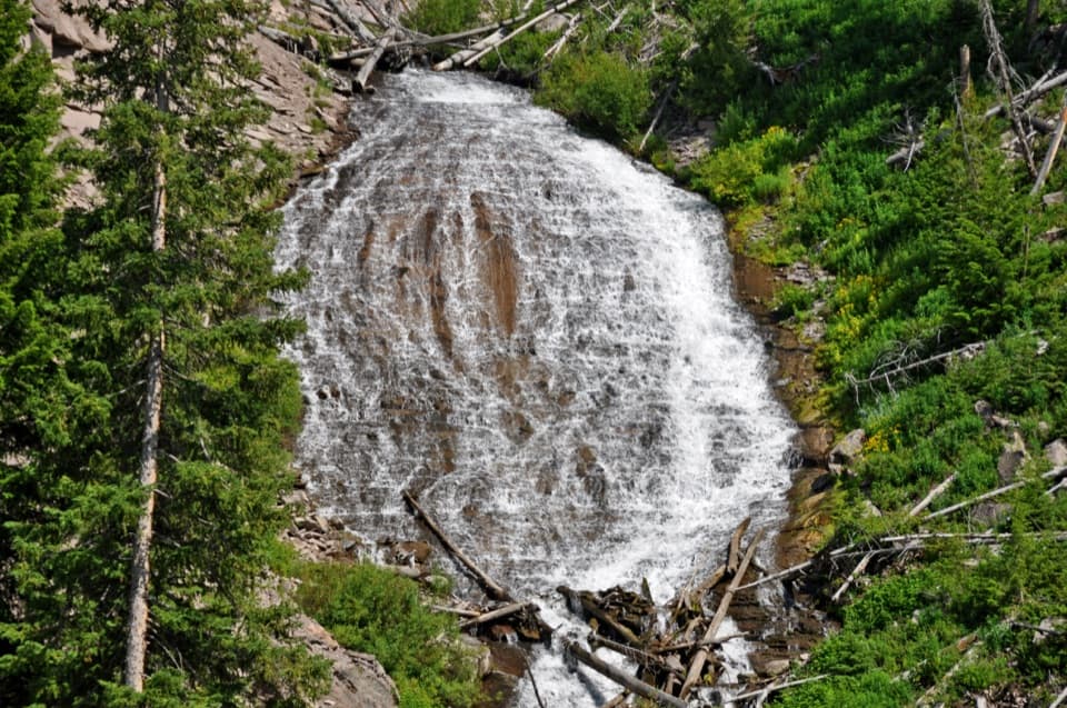
Wraith Falls in Yellowstone National Park

Sight · Yellowstone National Park

Wraith Falls

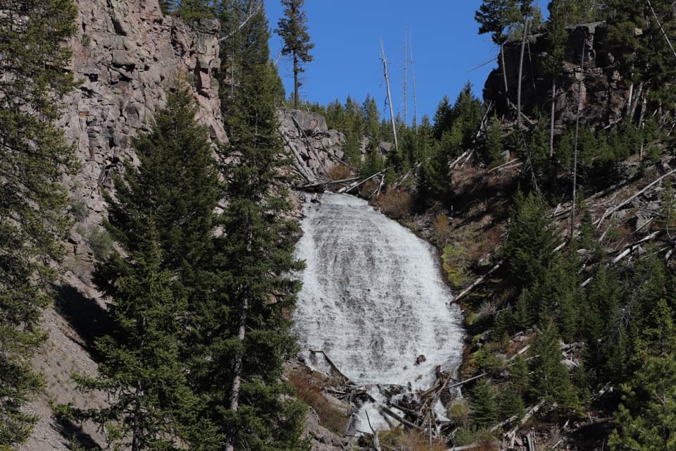
A short climb to a 79-foot cascade on Lupine Creek.

Photo: Wikimedia Commons
Type
Sight
Nearest trail
0.3 mi
Audio stories
5 nearby
  • Pullout
  • Parking
  • Trailhead
  • Scenic viewpoint

Hear the audio tour

Wraith Falls Trailhead

Overview

About Wraith Falls

Why stop

  • A varied one-mile walk ends at a broad waterfall view.

Heads up

  • The rocky finish is steep, and late-season flow can be faint.

Map

Where it is

Loading the Yellowstone map
Full map
SightWraith Falls44.93754, -110.62373
Keep this map with you offline in the Parkwolf app

Plan your stop

Before you go

5 active Yellowstone alerts

  • ClosureBiscuit Basin closed after hydrothermal explosionBiscuit Basin’s parking lot, boardwalk, and Firehole River are closed to all travel.Official details
  • ClosureMost Yellowstone roads close to regular vehicles November 1Most Yellowstone roads and the West, South, and East entrances are scheduled to close to regular vehicles November 1, 2026, as the park prepares for winter operations.Official details

See all 5 alerts
A park ranger sits on a dash-mounted phone, talking, as Parkwolf’s Tour Guide plays “Army Cutworm Moths: A Grizzly Bear Buffet” on Grand Loop Road below Dunraven Pass in Yellowstone
Parkwolf Tour GuideThe highest, rockiest slopes around here are a summer buffet for grizzly bears.

Yellowstone Tour Guide

Hear Yellowstone as you drive it.

Parkwolf is a GPS audio tour guide for Yellowstone National Park. As you drive, it chimes in with what’s ahead: hidden gems, upcoming stops, history, geology, and wildlife, right through your car’s speakers.

See the Yellowstone audio tour

Recorded for this place

Wraith Falls Trailhead
0:00 / 0:24
“You're approaching the Wraith Falls trailhead, where a short walk leads to water fanning down a sloping rock face. Allow thirty to sixty minutes for about a mile out and back, with steep, rocky steps near the viewpoint.”

Plays as you drive up to Wraith Falls in the Parkwolf Yellowstone Tour Guide.

More stories near here in the app

  • Lava Creek Picnic Area
  • Undine Falls
  • Blacktail Creek Trailhead
  • Sixty Million Missing Years
  • 243 audio storiesacross Yellowstone’s roads, triggered by GPS as you drive
  • Wildlife heatmapsfor Wolf, Grizzly Bear, Bison, and 13 more
  • Works offlinemaps, 167 trails, 192 places, and audio download before you lose signal
  • CarPlay readysimple controls built for the drive
★★★★★
“First time driving through a national park. We used the Yellowstone tour on grand loop Road and it’s just like having a tour guide in your car with you.”
Jyg5001App Store review
Download Parkwolf on the App StoreGet Parkwolf on Google Play

4.7 from 8,600+ ratings

Guide

More about Wraith Falls

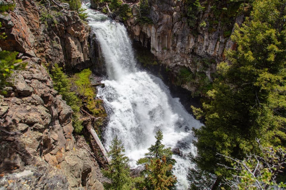
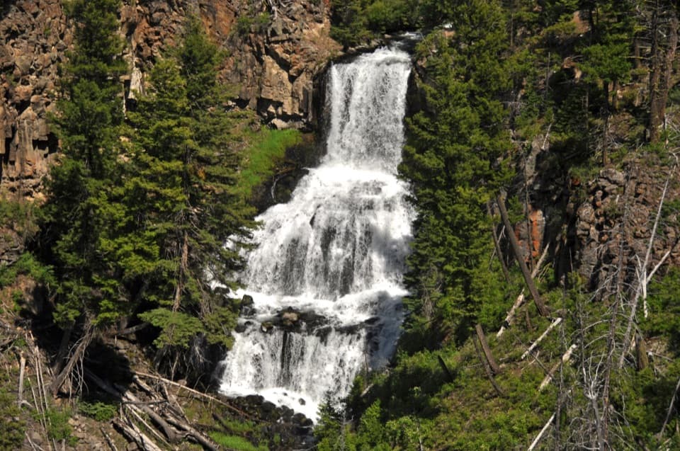
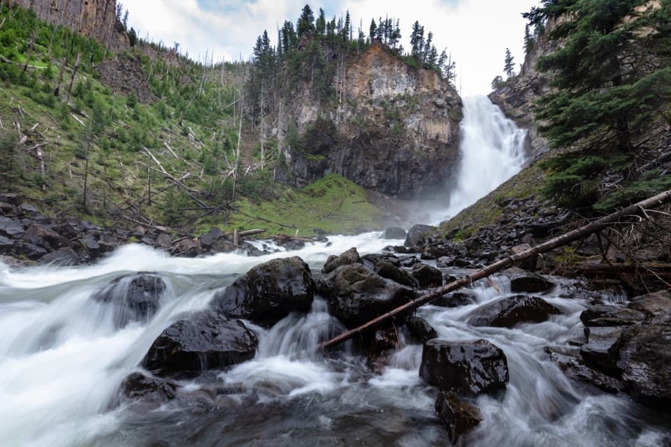
A short waterfall walkWraith Falls is a 79-foot cascade on Lupine Creek in northern Yellowstone's Mammoth area.

Wraith Falls is a 79-foot cascade on Lupine Creek in northern Yellowstone's Mammoth area. It spreads down a sloping rock face rather than dropping in a single plunge. Keep it in mind if you're already driving the north end and want a short waterfall stop. The walk is about 1 mile round trip, or roughly 30 to 60 minutes. By late summer or fall, the water can shrink to a trickle.

The climb comes at the endThe trail starts at a roadside pullout about half a mile east of Lava Creek Picnic Area on…

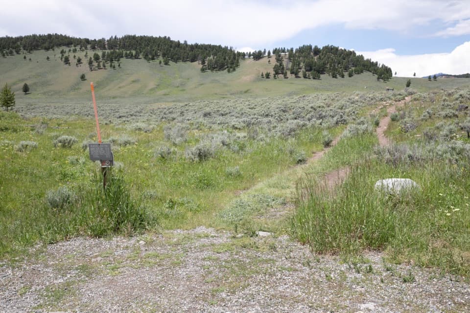
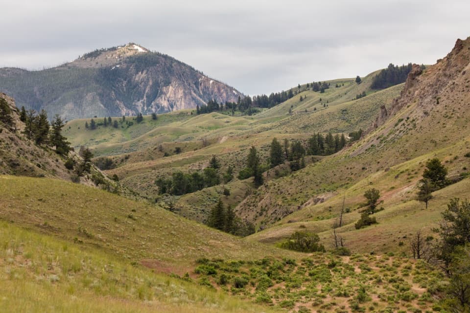
The trail starts at a roadside pullout about half a mile east of Lava Creek Picnic Area on Grand Loop Road. It crosses sagebrush meadow, marshland and mixed conifer forest before climbing the final 245 feet over steep, rocky steps to the upper viewpoint. The rough finish makes this a poor fit for anyone who needs an accessible trail. The maintained route ends at the viewpoint, above the falls.

The shape and the nameFrom the upper viewpoint, frame the whole rock face with the creek and fallen timber below it;…

From the upper viewpoint, frame the whole rock face with the creek and fallen timber below it; that shows how broadly the water fans over the slope. The waterfall was named in 1885 by members of the U.S. Geological Survey's Hague parties. Later accounts link “Wraith” to the thin, ghostlike spread of water, though the original reason for the name wasn't formally recorded.

Wildlife

Wildlife in Yellowstone

All Yellowstone wildlife maps

Sighting maps show where each species has been reported across Yellowstone. Wildlife moves, so no sighting is guaranteed.

Keep exploring

Near Wraith Falls

See it all on the map

Trails nearby

More stops nearby

Parkwolf’s Yellowstone ranking

Top sights in Yellowstone

All 192 places
  1. 1Old Faithful GeyserSight
  2. 2Grand Prismatic SpringSight
  3. 3Artist PointSight
  4. 4Mammoth Hot Springs Lower TerracesSight
  5. 5Lamar Valley Wildlife WatchingSight
  6. 6Hayden Valley Overlook at Yellowstone RiverSight

Take Parkwolf to Yellowstone.

The audio tour guide for the drive, plus offline maps, trails, and wildlife heatmaps for when the signal drops.

4.7 from 8,600+ ratings

Download Parkwolf on the App StoreGet Parkwolf on Google Play