Parking
No road access or drive-up parking at the remote Snake River / Fox Creek Trailhead (6K3). Approach it on foot via connected backcountry routes and plan an exit before starting.

Yellowstone National Park, WY · MT · ID
A remote backcountry traverse with no road access to its start.
Overview
Map & elevation
Plan your hike

The highest, rockiest slopes around here are a summer buffet for grizzly bears.
Yellowstone Tour Guide
Parkwolf is a GPS audio tour guide for Yellowstone National Park. As you drive, it chimes in with what’s ahead: hidden gems, upcoming stops, history, geology, and wildlife, right through your car’s speakers.
See the Yellowstone audio tour“First time driving through a national park. We used the Yellowstone tour on grand loop Road and it’s just like having a tour guide in your car with you.”


Trail guide
Fox Creek Trail is a 10.9-mile one-way route from the Snake River / Fox Creek Trailhead (6K3) to its junction with Heart River Trail. The start has no road access, so this is a backcountry segment to build into a longer itinerary, not a roadside day hike. Allow about five hours for the Fox Creek segment; reaching and leaving 6K3 adds distance.
The corridor begins with flatter ground, then side-hills above the Snake River and opens onto views of the river. A ford lies on the route. No bridge or seasonal crossing conditions are confirmed, so check the crossing before committing to the through-route.
There is no drive-up parking at 6K3; plan an approach and exit through the backcountry trail network. Pets are not allowed on Yellowstone hiking trails or in the backcountry. Overnight stays require a Yellowstone backcountry permit and a designated campsite.
Wildlife
 713 sightingsGrizzly BearMost seen around 6 AMSighting map
 743 sightingsWolfMost seen around 6 AMSighting map
 5,273 sightingsBisonMost seen around 7 AMSighting map
 3,258 sightingsElkMost seen around 7 PMSighting map
 397 sightingsMooseMost seen around 7 PMSighting map
 1,494 sightingsBlack BearMost seen around 7 PMSighting map
Sighting maps show where each species has been reported across Yellowstone. Wildlife moves, so no sighting is guaranteed.
Keep exploring
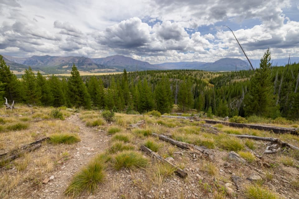 ModerateSouth Boundary Trail: Lynx Creek12.7 mi · 7.5 hr · 0.6 mi awayA long backcountry traverse across Thorofare country and Lynx Creek.
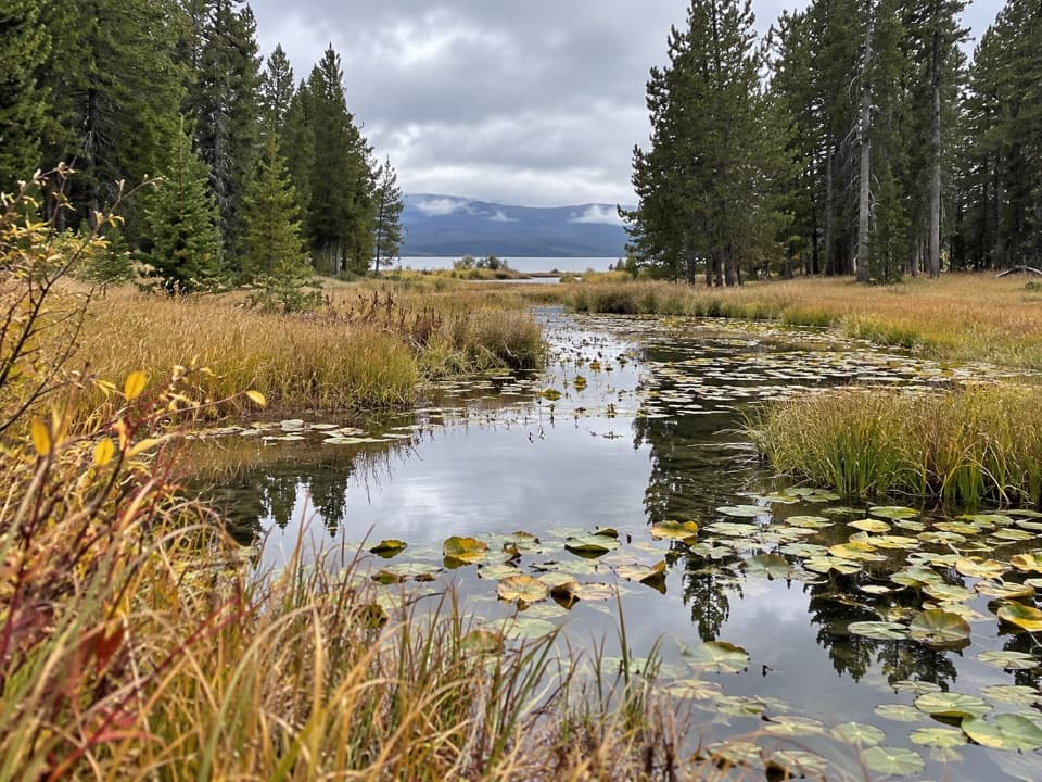 ChallengingContinental Divide Trail: Yellowstone Section70.3 mi · 1.8 days · 0.6 mi awayA 70-mile CDT traverse through remote backcountry.
 ChallengingTwo Ocean Plateau Trail11.7 mi · 8 hr · 2.9 mi awayA remote 11.7-mile traverse through Yellowstone’s Two Ocean Plateau.
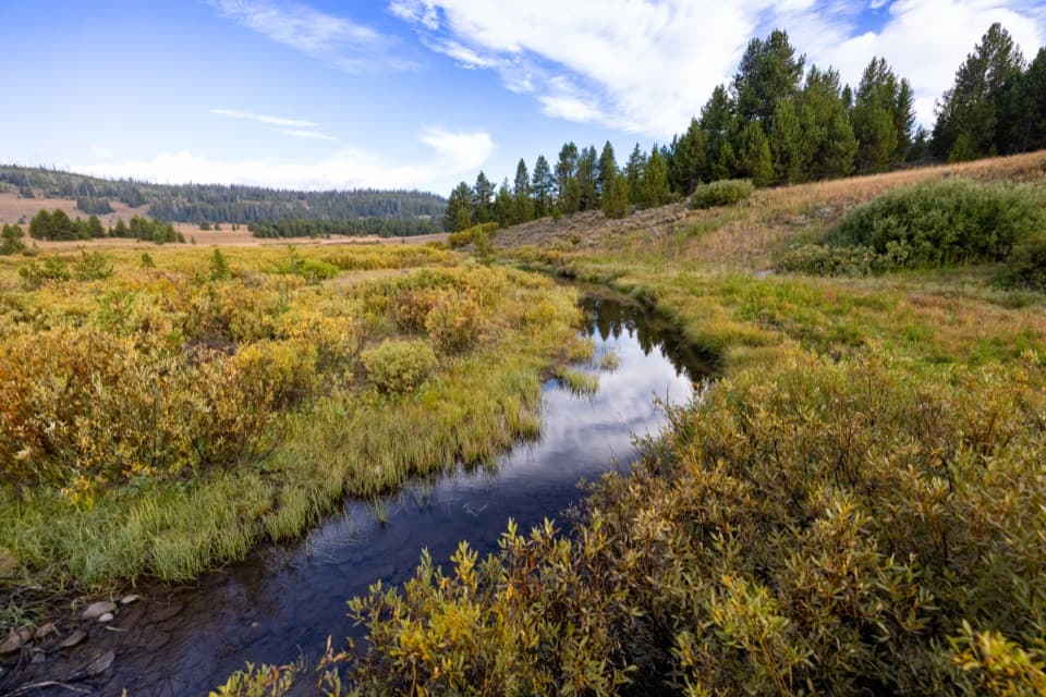 ChallengingSouth Boundary Trail: Harebell–Fox Creek11.1 mi · 6.5 hr · 8.2 mi awayEleven remote miles between a patrol cabin and the Snake River.
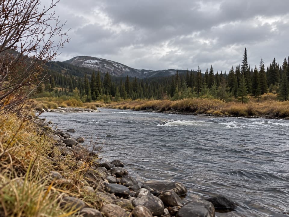 EasySnake River Canyon Trail2.5 mi · 1.5 hr · 9 mi awayAn easy river-valley connector in Yellowstone's remote backcountry.
 ModerateHeart River Trail5.8 mi · 3.5 hr · 10.5 mi awayA remote river corridor with several unbridged fords.
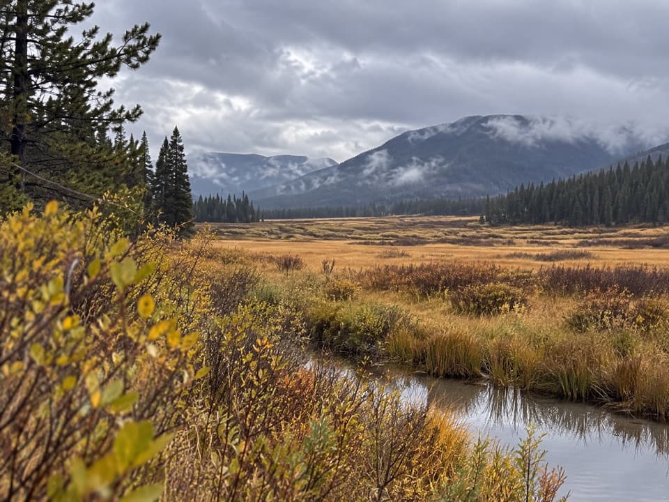 EasyHawk’s Lake Trail0.5 mi · 15 min · 11.3 mi awayA remote half-mile connector between Hawks Rest and Thorofare Trail.
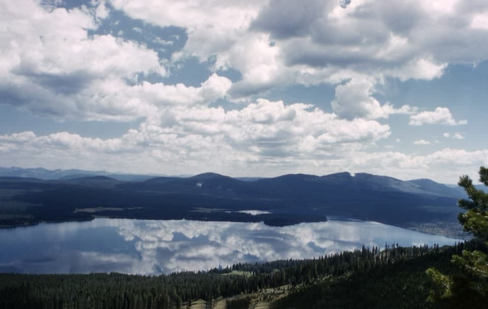 ChallengingMount Sheridan Trail7.2 mi · 6 hr · 13.8 mi awayHeart Lake and the Tetons spread out below this remote summit.
Parkwolf’s Yellowstone ranking

The audio tour guide for the drive, plus offline maps, trails, and wildlife heatmaps for when the signal drops.