Parking
Hawks Rest Trailhead (6K5) is at Yellowstone’s eastern boundary and is not accessible by road; plan a backcountry approach.
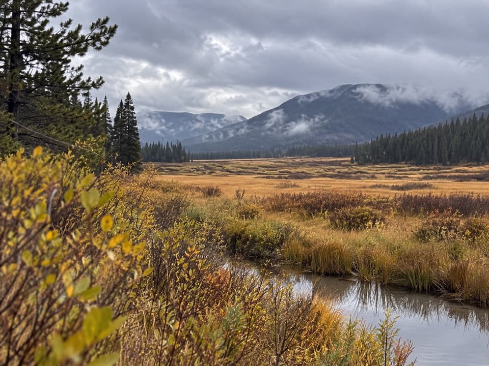
Yellowstone National Park, WY · MT · ID
A remote half-mile connector between Hawks Rest and Thorofare Trail.
Overview
Map & elevation
Plan your hike

The highest, rockiest slopes around here are a summer buffet for grizzly bears.
Yellowstone Tour Guide
Parkwolf is a GPS audio tour guide for Yellowstone National Park. As you drive, it chimes in with what’s ahead: hidden gems, upcoming stops, history, geology, and wildlife, right through your car’s speakers.
See the Yellowstone audio tour“First time driving through a national park. We used the Yellowstone tour on grand loop Road and it’s just like having a tour guide in your car with you.”


Trail guide
Hawk’s Lake Trail is a 0.53-mile, one-way connector from Hawks Rest Trailhead to the Thorofare Trail. The mapped section is a minimally developed earth path and takes about 15 minutes one way; walking back to Hawks Rest makes a roughly 1.1-mile, 30-minute return. This is a backcountry link, not a standalone day hike from a road.
The mapped route ends at the Thorofare Trail junction. The park also lists Hawk’s Lake Trail among routes at Bridger Lake, but the full connection and a lakeshore endpoint are not established by the mapped segment. Treat this entry as the short connector and verify the intended backcountry itinerary before setting out.
Hawks Rest is a remote trailhead at the park’s eastern boundary and cannot be reached by road. Plan it as part of a backcountry trip. Overnight stays require a permit, and pets are not allowed on park trails or in the backcountry.
Wildlife
 713 sightingsGrizzly BearMost seen around 6 AMSighting map
 743 sightingsWolfMost seen around 6 AMSighting map
 5,273 sightingsBisonMost seen around 7 AMSighting map
 3,258 sightingsElkMost seen around 7 PMSighting map
 397 sightingsMooseMost seen around 7 PMSighting map
 1,494 sightingsBlack BearMost seen around 7 PMSighting map
Sighting maps show where each species has been reported across Yellowstone. Wildlife moves, so no sighting is guaranteed.
Keep exploring
 ChallengingTwo Ocean Plateau Trail11.7 mi · 8 hr · 8.8 mi awayA remote 11.7-mile traverse through Yellowstone’s Two Ocean Plateau.
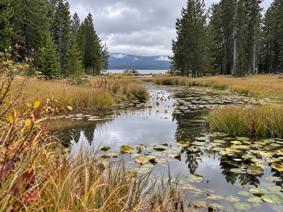 ChallengingContinental Divide Trail: Yellowstone Section70.3 mi · 1.8 days · 10.7 mi awayA 70-mile CDT traverse through remote backcountry.
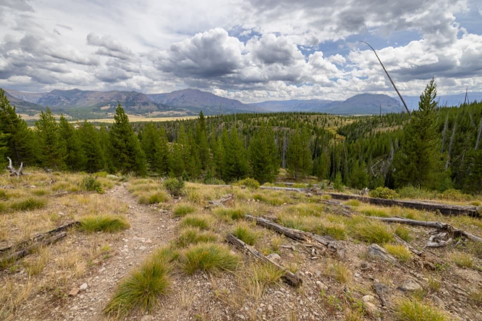 ModerateSouth Boundary Trail: Lynx Creek12.7 mi · 7.5 hr · 10.7 mi awayA long backcountry traverse across Thorofare country and Lynx Creek.
 ChallengingFox Creek Trail10.9 mi · 5 hr · 11.3 mi awayA remote backcountry traverse with no road access to its start.
 ChallengingEagle Pass–Mountain Creek Trail10.2 mi · 6 hr · 13.8 mi awayA steep first mile, then a long descent to the Thorofare.
Parkwolf’s Yellowstone ranking

The audio tour guide for the drive, plus offline maps, trails, and wildlife heatmaps for when the signal drops.





