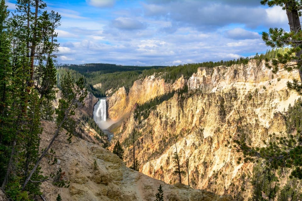
Parking
Dunraven Pass parking lot on Grand Loop Road. A vault toilet is in the lot; parking can be very limited on peak summer days. Dunraven Pass is a seasonal high-elevation road and closes to regular traffic in winter.

#3 of 167 trails in Yellowstone
Yellowstone National Park, WY · MT · ID
A high climb to a working lookout and wide Yellowstone views.
Overview
Map & elevation
Plan your hike

The highest, rockiest slopes around here are a summer buffet for grizzly bears.
Yellowstone Tour Guide
Parkwolf is a GPS audio tour guide for Yellowstone National Park. As you drive, it chimes in with what’s ahead: hidden gems, upcoming stops, history, geology, and wildlife, right through your car’s speakers.
See the Yellowstone audio tourRecorded for this trailhead
Dunraven Pass and Mount Washburn“Dunraven Pass is ahead, a good place for a short mountain-view stop even if you aren't hiking. Look for wildflowers on the high slopes in July, and bighorn sheep near the pass.”
Plays as you drive up to this trailhead in the Parkwolf Yellowstone Tour Guide.
More stories near here in the app
“First time driving through a national park. We used the Yellowstone tour on grand loop Road and it’s just like having a tour guide in your car with you.”


Trail guide
This is the south-side out-and-back to Mount Washburn’s 10,219-foot summit. The mapped route is about 7 miles round trip, with roughly 1,400 feet of climbing; allow four to five hours with a stop at the top. Park information still gives 6 miles, but the connected trail line measures about 3.5 miles each way and detailed route accounts agree with the longer figure, so 7 miles is the safer plan. You return by the same trail. I’d pick this side if you want a hiking path through alpine slopes; the separate Chittenden Road route follows a broader, more gradual road to the same summit.
The trail climbs steadily from about 8,900 feet to more than 10,000 feet. Some descriptions call the climb moderate and others strenuous; I’d plan for the hard end because it starts near 8,900 feet and keeps climbing above treeline. The upper slopes are open and exposed to lightning, and there’s no water along the route. Grizzlies frequent this area in fall; park guidance advises against hiking here in September and October. Give the climb a clear-weather day and don’t count on a quick summit stop.
Begin at the Dunraven Pass parking lot on Grand Loop Road. There’s a vault toilet in the middle of the lot, but parking can be tight on peak summer days. The high pass is a seasonal drive and closes to regular traffic when winter weather sets in, so check road status before making the trip. Pets aren’t allowed on the trail.
The trail starts in lodgepole pine, then south-facing views open within the first tenth of a mile. The summit lookout comes into view after the first switchback, which gives you a useful target for the climb. In July, wildflowers cover the slopes; the earliest open stretch is especially good for seeing them without leaving the trail.
The path works up the mountainside through a series of switchbacks and alpine vegetation. Stay on the tread: the plants are fragile, and the open ridge has little shelter from a sudden storm. Near the top, this southern route joins the approach from Chittenden Road for the final few tenths of a mile. The view gets wider as the trees fall away, with the Grand Canyon of the Yellowstone and Avalanche Peak to the south.
At the summit, the fire lookout’s shelter has interpretive panels at its base. This is one of Yellowstone’s three fire lookout stations, staffed by firefighters through the summer fire season. On a clear day, the park estimates views stretching 20 to 50 miles. Take a moment to look back down the ridge you climbed; it makes the route’s switchbacks and the pass below easy to pick out.
Mount Washburn is the northern remnant of an extinct Absaroka volcano about 50 million years old. The Yellowstone caldera-forming eruption 631,000 years ago cut the volcano in half; this mountain is the part that remains visible. You’re climbing an older volcanic landscape inside a much younger caldera story.
Bighorn sheep are often seen near Dunraven Pass, and July is the showiest month for flowers on the slopes. If you spot a ram, its horn rings can indicate age. The thickened, layered bone in a ram’s skull helps absorb the impact of head-on contests, a useful bit of context for watching them from a distance.
Wildlife
 713 sightingsGrizzly BearMost seen around 6 AMSighting map
 743 sightingsWolfMost seen around 6 AMSighting map
 5,273 sightingsBisonMost seen around 7 AMSighting map
 3,258 sightingsElkMost seen around 7 PMSighting map
 397 sightingsMooseMost seen around 7 PMSighting map
 1,494 sightingsBlack BearMost seen around 7 PMSighting map
Sighting maps show where each species has been reported across Yellowstone. Wildlife moves, so no sighting is guaranteed.
Keep exploring
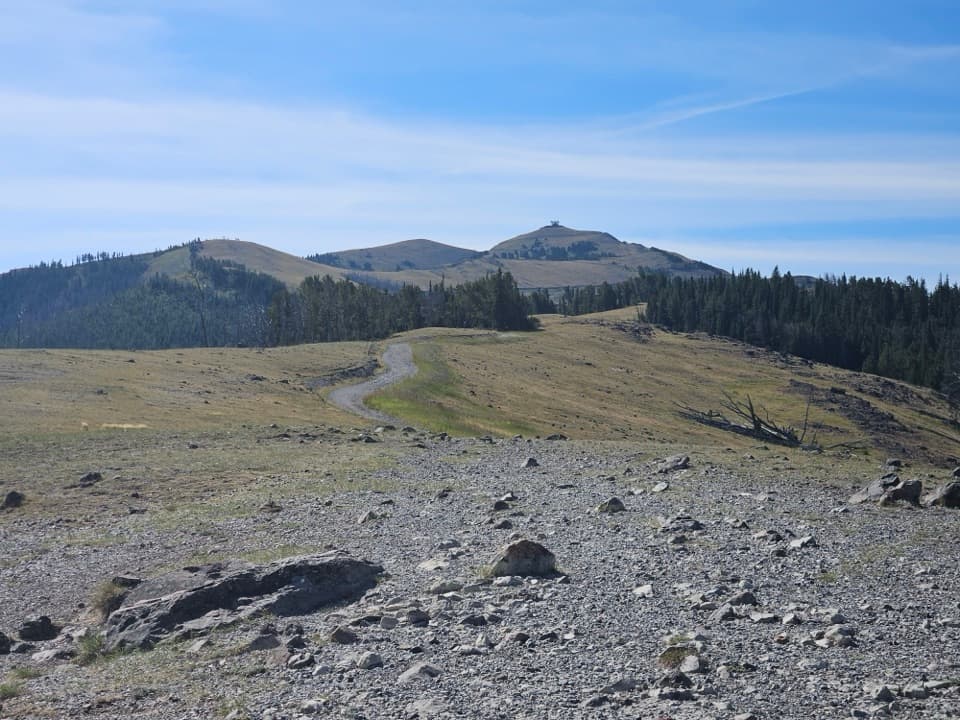 ModerateChittenden Road–Mount Washburn Trail5.8 mi · 4 hr · 2.8 mi awayA steady climb to Yellowstone’s working fire lookout.
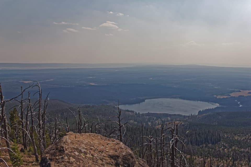 ChallengingObservation Peak Trail9.6 mi · 5.5 hr · 3.1 mi awayMeadows and a lake lead to a fire lookout above the valley.
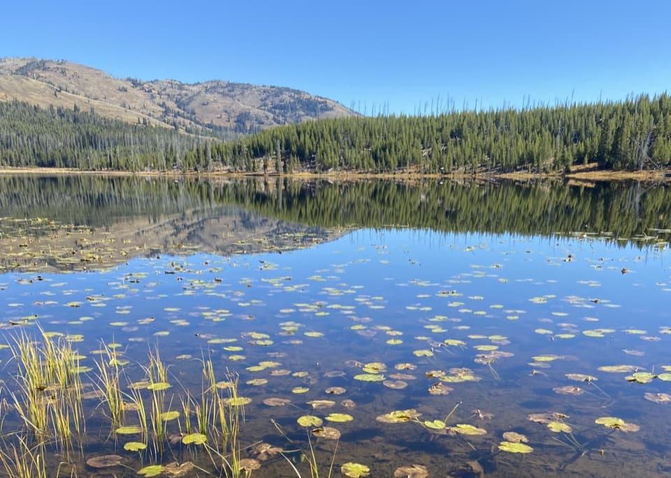 EasyCascade Lake Trail4.4 mi · 2.5 hr · 3.1 mi awayFollow open meadows to a lake edged with lily pads.
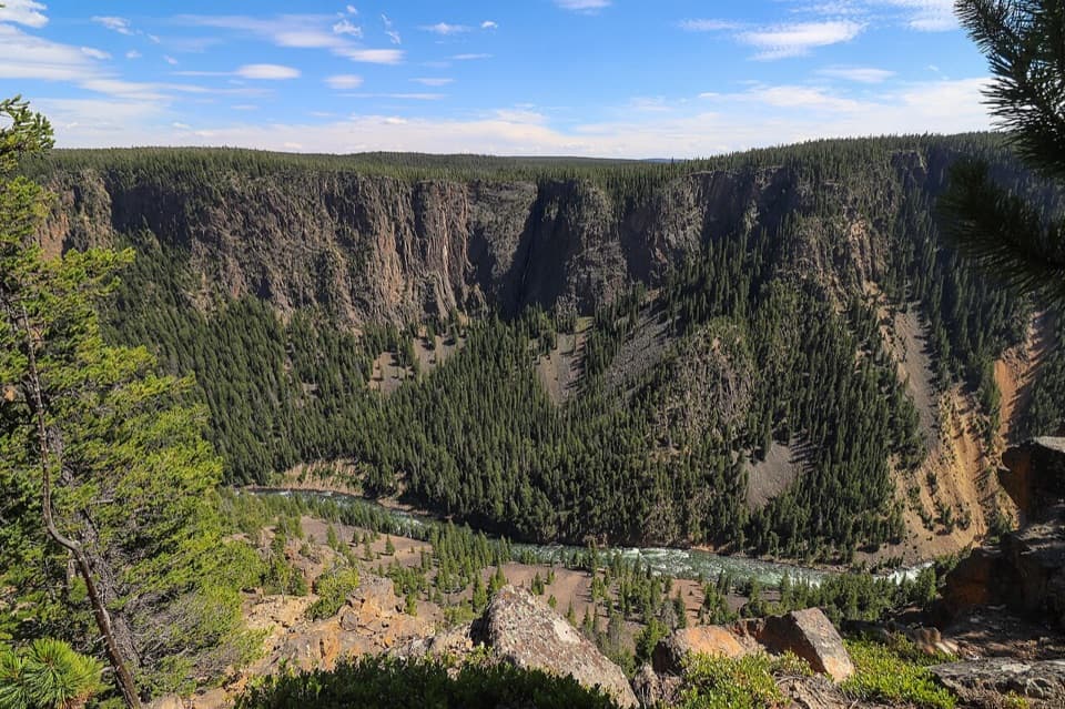 ChallengingSeven Mile Hole Trail10 mi · 6.5 hr · 3.9 mi awaySilver Cord Cascade first, then the steep drop to the river.
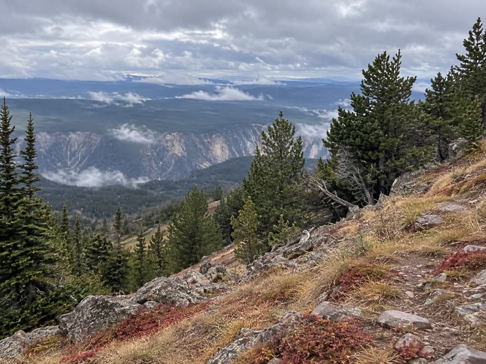 ChallengingMount Washburn Spur Trail16.2 mi · 9 hr · 3.9 mi awayFrom canyon rim to Washburn Hot Springs and a 10,219-foot summit.
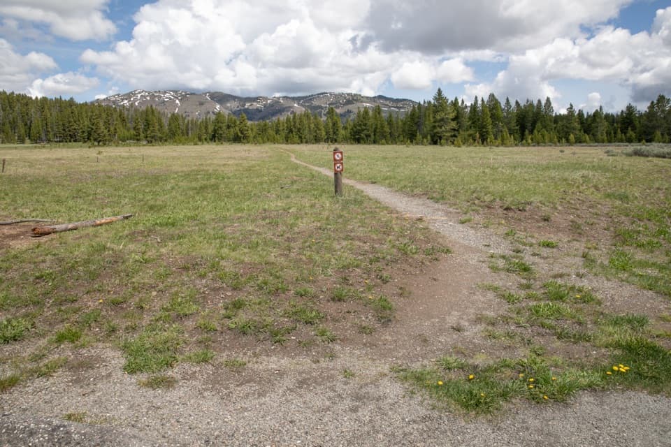 EasyCascade Creek Trail3.4 mi · 2 hr · 4.2 mi awayAn easy creek-and-meadow walk to the Cascade Lake Trail junction.
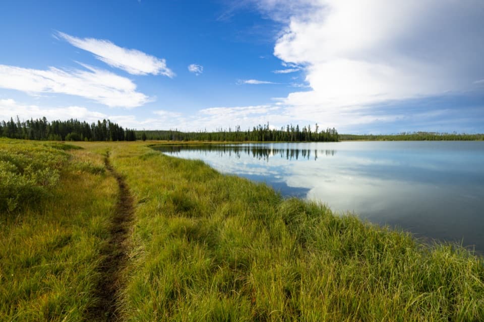 ModerateHoward Eaton Trail: Canyon to Ice Lake10.7 mi · 5.5 hr · 4.2 mi awayA long one-way traverse past four lakes, meadow, and marsh.
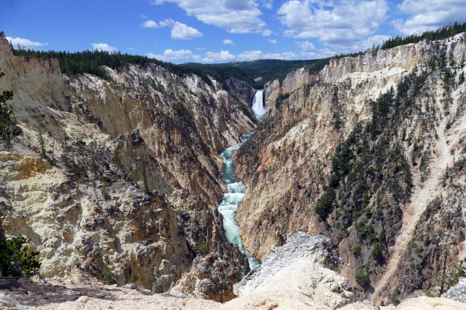 ModerateArtist Point–Point Sublime Trail3 mi · 1.8 hr · 4.7 mi awayThe canyon views begin before you reach Point Sublime.
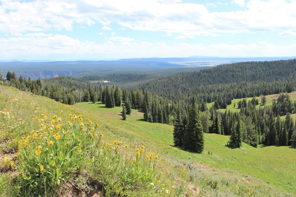 Sight · At the trailheadDunraven PassHigh-elevation wildflowers, wide views, and a Mount Washburn hike.
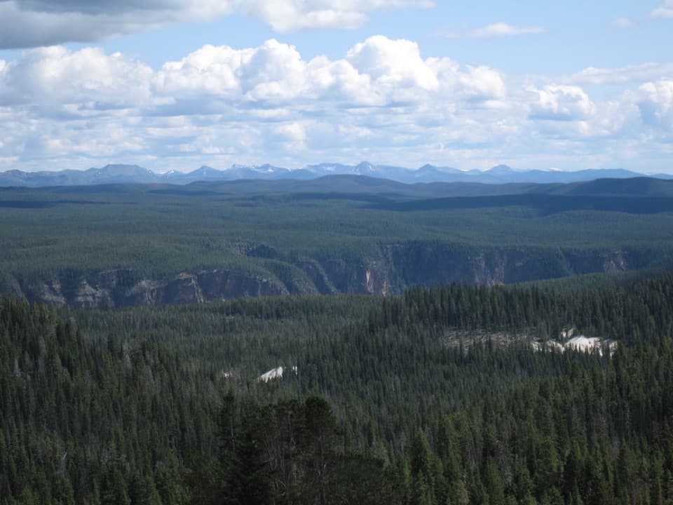 Sight · 1.2 mi awayWashburn Hot Springs OverlookA sweeping look across a 30-by-45-mile caldera.
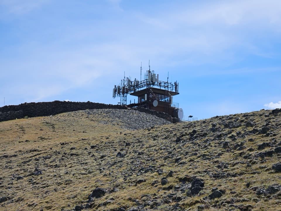 Sight · 1.3 mi awayMount Washburn Summit and Fire LookoutClimb high for Yellowstone views and a working fire lookout.
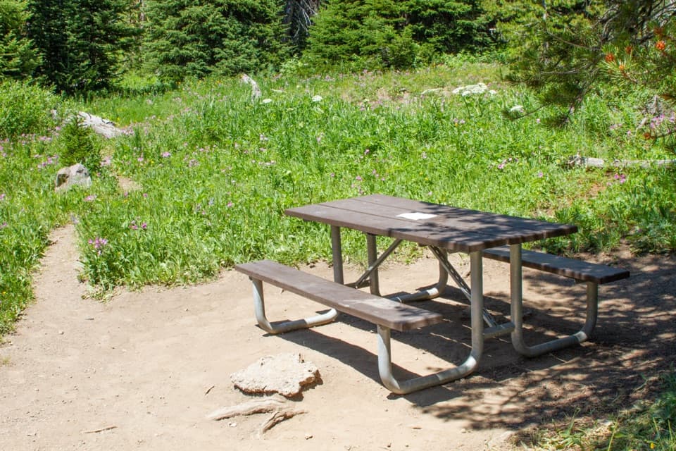 Picnic area · 1.8 mi awayDunraven Road Picnic AreaA useful lunch stop on the seasonal road over Dunraven Pass.
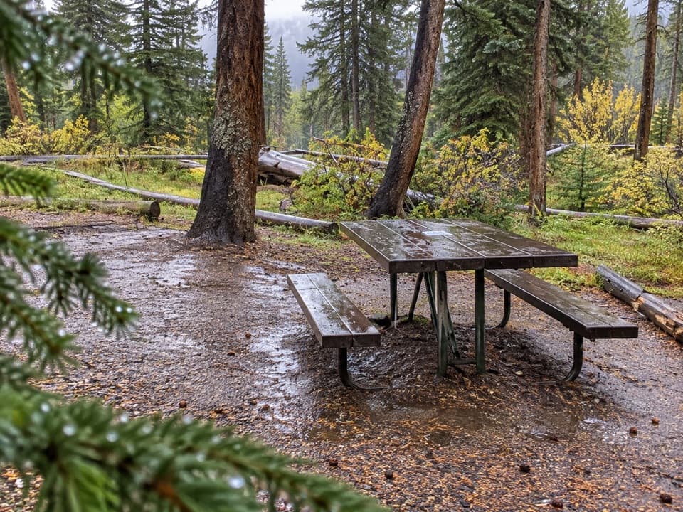 Picnic area · 2.8 mi awayCascade Lake Picnic AreaA picnic-table stop beside the Cascade Lake trailhead.
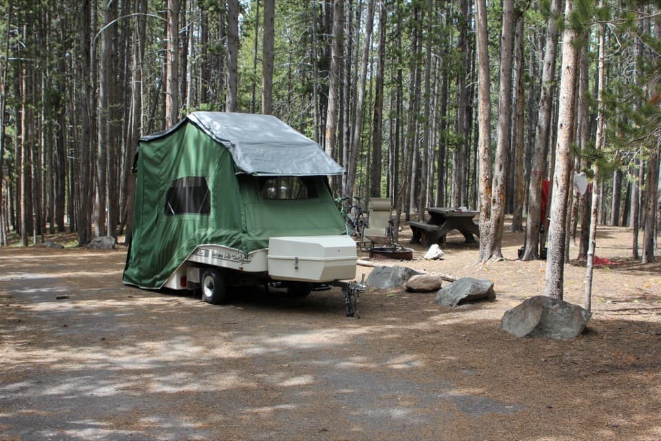 Campground · 3.8 mi awayCanyon CampgroundA 273-site, pine-wooded campground near Canyon Village.
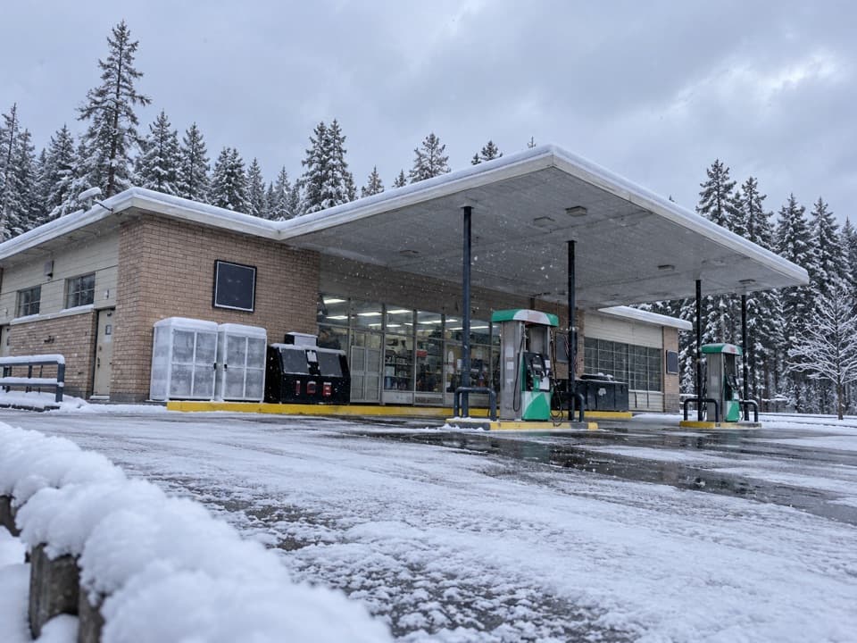 Gas station · 3.9 mi awayCanyon Gas and Service StationFuel, snacks and vehicle help for the Canyon drive.
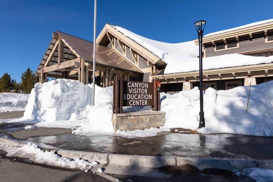 Visitor center · 4 mi awayCanyon Visitor Education CenterA room-size map makes Yellowstone's scale click before you head out.
Parkwolf’s Yellowstone ranking

The audio tour guide for the drive, plus offline maps, trails, and wildlife heatmaps for when the signal drops.